
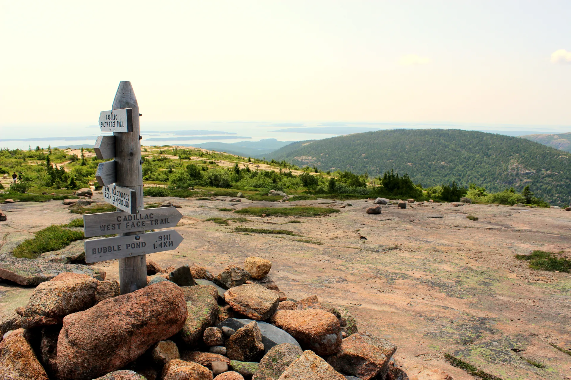


The Most Remote Section of the Appalachian Trail
The 100-Mile Wilderness is the longest stretch of the Appalachian Trail without a road crossing. It runs roughly 100 miles from Monson in the south to Abol Bridge at the edge of Baxter State Park in the north. A sign at the trailhead in Monson warns hikers that there are no places to resupply or get help for the next hundred miles. That sign is not exaggerating.
This is not a day hike or a weekend trip. The 100-Mile Wilderness is a full backcountry expedition that takes 7 to 10 days for most hikers. There are over a dozen lean-tos spaced roughly 8 to 12 miles apart, all free and first-come-first-served. No permits, no reservations, no fees. You carry everything you need and walk until you reach the next shelter.
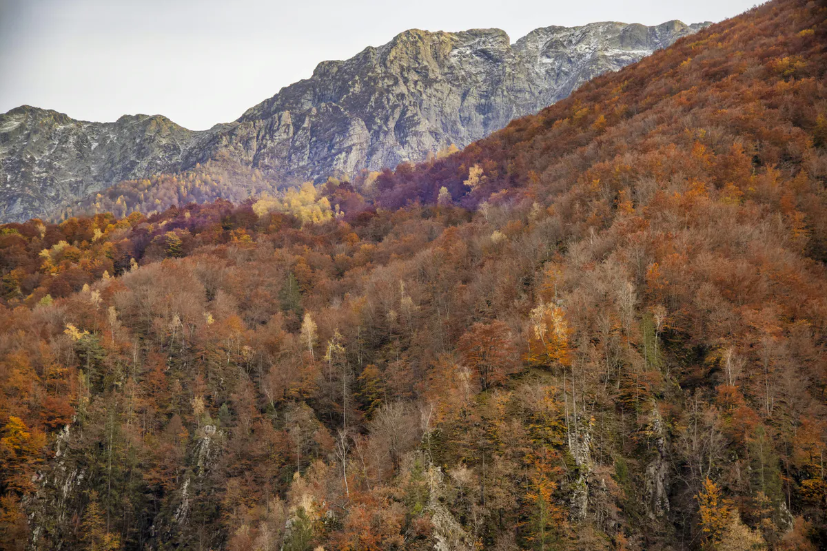
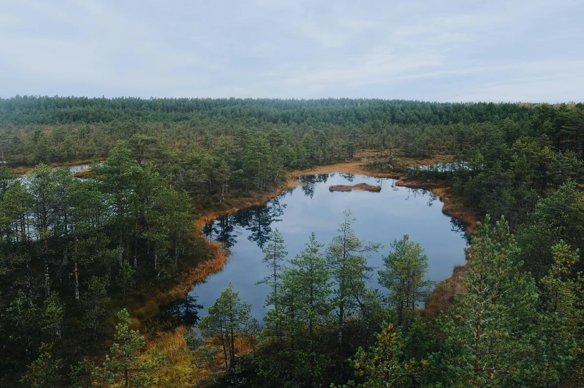
The terrain is a mix of dense boreal forest, rocky ridgelines, river crossings, and lake shorelines. The trail passes some of the most pristine lakes in Maine, including Jo-Mary Lake and Nahmakanta Lake. Gulf Hagas, sometimes called the Grand Canyon of Maine, is accessible via a short side trail partway through the route. The landscape changes constantly, and the isolation is complete.
This is not a section to underestimate. There are no stores, no roads, no cell service, and no easy bailout for most of the route. You must carry 7 to 10 days of food, a reliable water filter, and the ability to handle any medical situation on your own. If you are not experienced with multi-day backpacking, build up to this trip with shorter sections first.
Key Stops Along the Route
The 100-Mile Wilderness has several standout locations that are worth planning your daily mileage around.
Antlers Campsite sits on the shore of Lower Jo-Mary Lake. The sites are right on the water, and if you time it right, you get a sunset over the lake with nothing but forest on the opposite shore. This is one of the most photographed spots on the route.
Nahmakanta Lake has a sandy beach that feels completely out of place in the deep Maine woods. After days of rocky trail and root-tangled paths, walking onto that sand beach is a genuine reward. The swimming is excellent, and the lean-to here is one of the most popular on the route.
Cloud Pond is a small, remote pond surrounded by spruce forest at elevation. The lean-to here is one of the more secluded options, and the pond itself has a quiet stillness that you do not find at the larger lakes.
White House Landing is a wilderness sporting camp on Pemadumcook Lake, accessible only by boat. You can call ahead to arrange a pickup from the AT crossing. They serve meals, sell limited supplies, and have bunk accommodations. For many thru-hikers, a burger and a bed at White House Landing is the highlight of the entire 100-Mile Wilderness. Call before you go to confirm they are open and running pickups.
Shaw’s Hiker Hostel in Monson is the traditional staging point for southbound entry into the 100-Mile Wilderness. They offer bunks, meals, resupply, and shuttle services. Spend a night there to organize your gear, top off your food, and get current trail conditions from other hikers. It is also a good place to leave your car if you are arranging a shuttle back.
Dogs on the Trail
Dogs are allowed on the Appalachian Trail through the 100-Mile Wilderness. However, Baxter State Park at the northern end does NOT allow dogs. If you are hiking the full route with a dog, you need to arrange for someone to pick up your dog at Abol Bridge before entering the park, or turn around and exit the way you came. This catches people by surprise every year. Plan ahead.
Gulf Hagas Side Trip
About 25 miles into the route from the south, a side trail leads to Gulf Hagas, a 3-mile slate canyon carved by the West Branch of the Pleasant River. The gorge drops 500 feet through a series of waterfalls and deep pools. The rim trail adds roughly 8 miles round trip to your day, so plan accordingly. It is one of the most dramatic natural features in Maine and absolutely worth the detour if your schedule allows.
If you only have time for one side trip in the 100-Mile Wilderness, make it Gulf Hagas. The canyon and waterfalls are unlike anything else on the AT in Maine. Hit it early in the day when the light angles into the gorge.
AMC Lodges: The Luxury Option
The Appalachian Mountain Club operates two backcountry lodges accessible from the 100-Mile Wilderness. Little Lyford Lodge and Gorman Chairback Lodge offer private cabins, home-cooked meals, hot showers, and guided activities. They are connected by trails and are a legitimate way to experience the area without carrying a full pack.
This is not roughing it. These lodges are comfortable, well-maintained, and staffed. Prices reflect that. But if you want to see the 100-Mile Wilderness without the multi-day backpacking commitment, this is how to do it.
Food and Resupply
There is no resupply between Monson and Abol Bridge. You are carrying every calorie you will eat for 7 to 10 days. For most hikers, that means 15 to 20 pounds of food at the start.
Some hikers arrange food drops at logging road crossings. This requires a friend or shuttle service willing to drive unpaved roads and leave a bear-proof container at a specific spot on a specific date. It works but adds logistical complexity. Most hikers simply carry everything.
Calorie-dense foods are essential. Peanut butter, olive oil, nuts, dried fruit, ramen, instant potatoes, hard cheese, and energy bars are staples. You will be burning 3,000 to 5,000 calories a day depending on your pace and pack weight. Bring more food than you think you need.
Black bears are active throughout the 100-Mile Wilderness. Hang your food bag at least 12 feet off the ground and 6 feet from any trunk or branch, or use a bear canister. Never store food in your tent. The lean-tos do not have bear boxes.
When to Go
Spring
Trail is snow-covered or muddy through May. River crossings can be dangerously high. Not recommended.
Summer
July-August warmest and driest. Blackflies peak in June. Trail is in best condition.
Fall
September is ideal. Cool temps, no bugs, foliage starts late month. Fewer hikers on trail.
Winter
Deep snow, extreme cold, no maintained trail. Only for experienced winter mountaineers.
September is the best month for the 100-Mile Wilderness. The blackflies and mosquitoes are gone, daytime temperatures are comfortable for hiking, and the crowds thin out. By late September, the hardwoods start turning and the forest takes on fall color. Nights get cold, often dipping into the 30s, so bring a sleeping bag rated to at least 20F.
July and August work well but are warmer, buggier, and more crowded, especially with thru-hikers heading for Katahdin. June is possible but the blackflies are severe and some stream crossings may still be high from snowmelt.
Multi-Day Backpacking Checklist
100-Mile Wilderness Packing List
- Backpack (60-70L for multi-day load)
- Tent or hammock with rain fly
- Sleeping bag (20F rated for September, 40F for July-August)
- Sleeping pad
- Water filter (pump or squeeze) plus backup purification tabs
- 7-10 days of food (calorie-dense, lightweight)
- Bear canister or 50ft rope for hanging food
- Camp stove, fuel canister, and lighter
- Hiking boots (broken in, waterproof preferred)
- Trekking poles
- Rain jacket and rain pants
- Base layers and insulating layer (fleece or puffy)
- Headlamp with extra batteries
- First aid kit with blister care
- Bug spray (DEET or picaridin)
- Head net (essential in June and July)
- Detailed trail map and compass
- Satellite communicator (inReach or SPOT)
- Knife or multitool
- Duct tape for gear repairs
FAQ
Do I need a permit for the 100-Mile Wilderness?
No. There are no permits and no fees for hiking or camping in the 100-Mile Wilderness. The lean-tos and campsites are free and first-come-first-served. Baxter State Park at the northern end charges $10-34/night if you camp there.
How long does it take to hike the 100-Mile Wilderness?
Most hikers take 7 to 10 days. Strong backpackers averaging 15 miles per day can finish in 7 days. A more relaxed pace of 10-12 miles per day with time for side trips like Gulf Hagas takes 9-10 days. Plan for at least one weather day.
Can I bring my dog?
Dogs are allowed on the AT through the 100-Mile Wilderness. However, Baxter State Park at the northern terminus does NOT allow dogs. You must arrange for your dog to be picked up at Abol Bridge before entering the park.
Is there cell service?
No. There is zero cell phone service for the entire route. A satellite communicator is strongly recommended for emergencies. Do not rely on your phone for navigation or communication.
Where do I get water?
The trail crosses numerous streams, rivers, and lakes. Water sources are generally reliable in summer, though some smaller streams may dry up in a drought year. Filter or treat ALL water. Giardia is present in Maine backcountry water sources.
What is the hardest part of the 100-Mile Wilderness?
The terrain between Whitecap Mountain and the Barren-Chairback Range is the most physically demanding, with steep climbs, rocky footing, and root-tangled trail. The psychological challenge of carrying a heavy pack for 7-plus days with no bailout option is often harder than the terrain itself.
Can I do a shorter section instead of the full 100 miles?
Yes. Several logging roads cross or come near the trail, allowing shorter section hikes. Popular shorter options include the Gulf Hagas area (accessible from the south) and the Nahmakanta Lake section. You will need a vehicle with decent clearance for the logging roads.