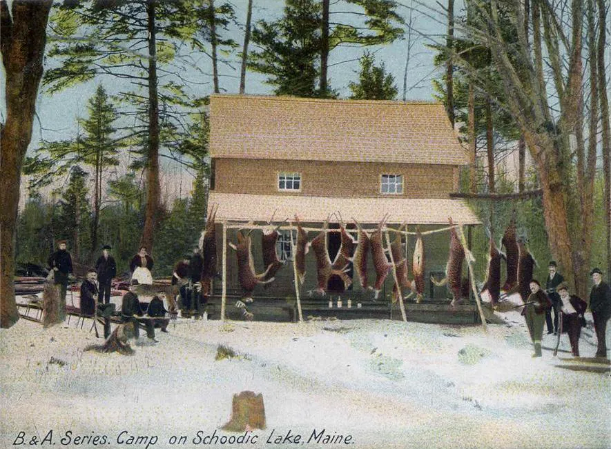
Maine’s Wild North
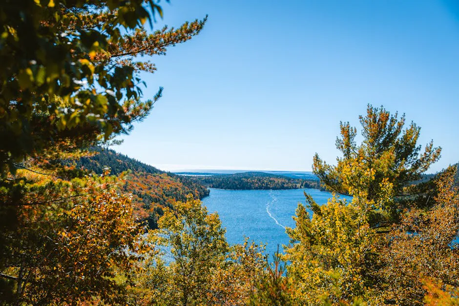
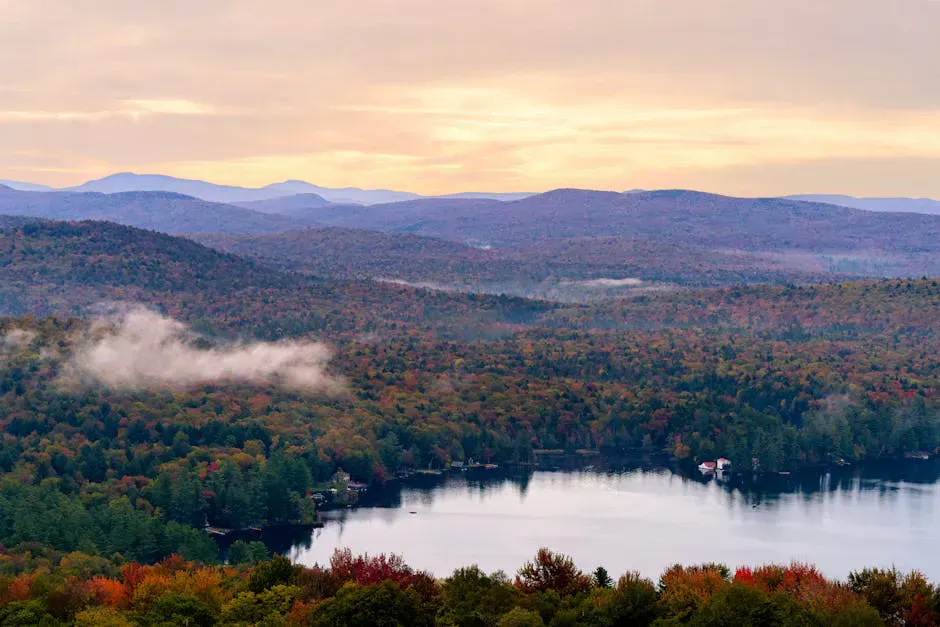
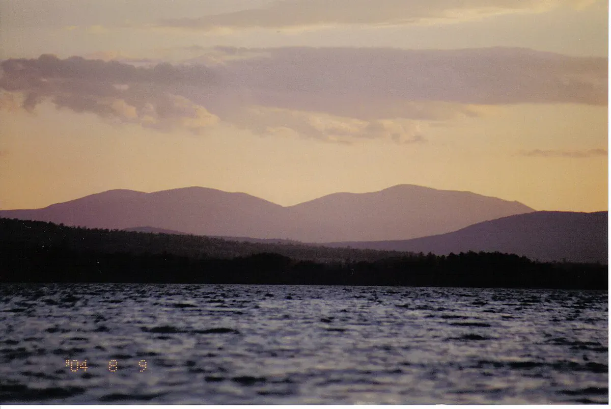
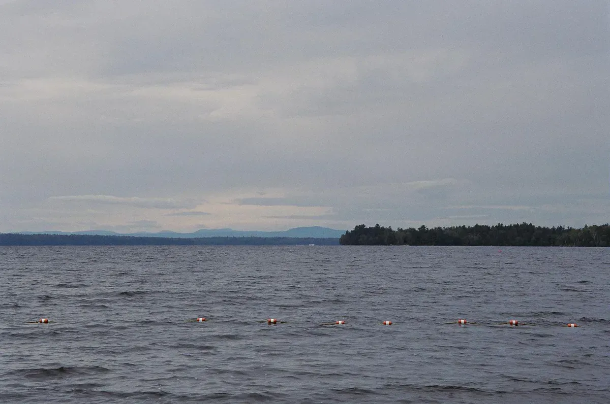
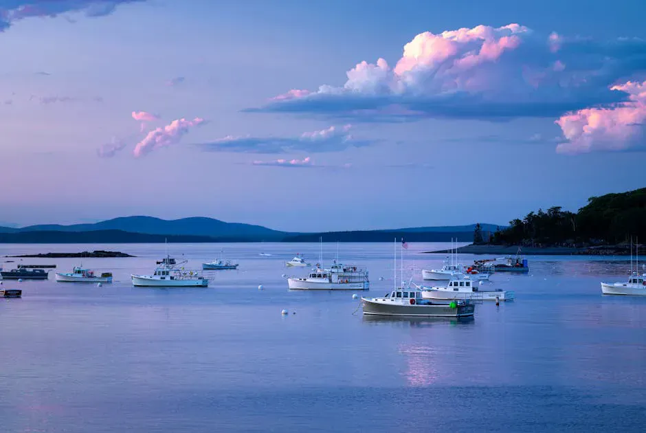
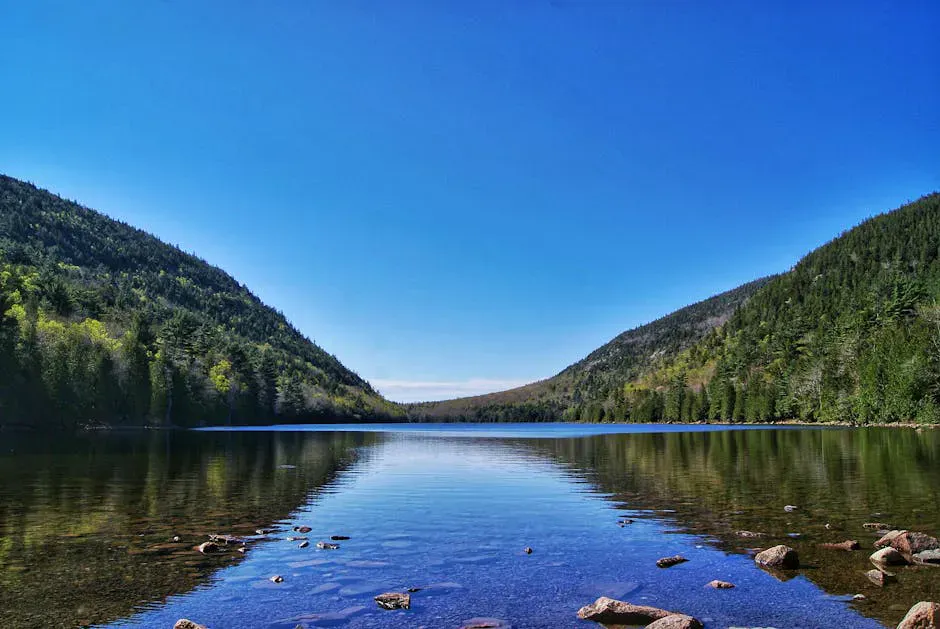
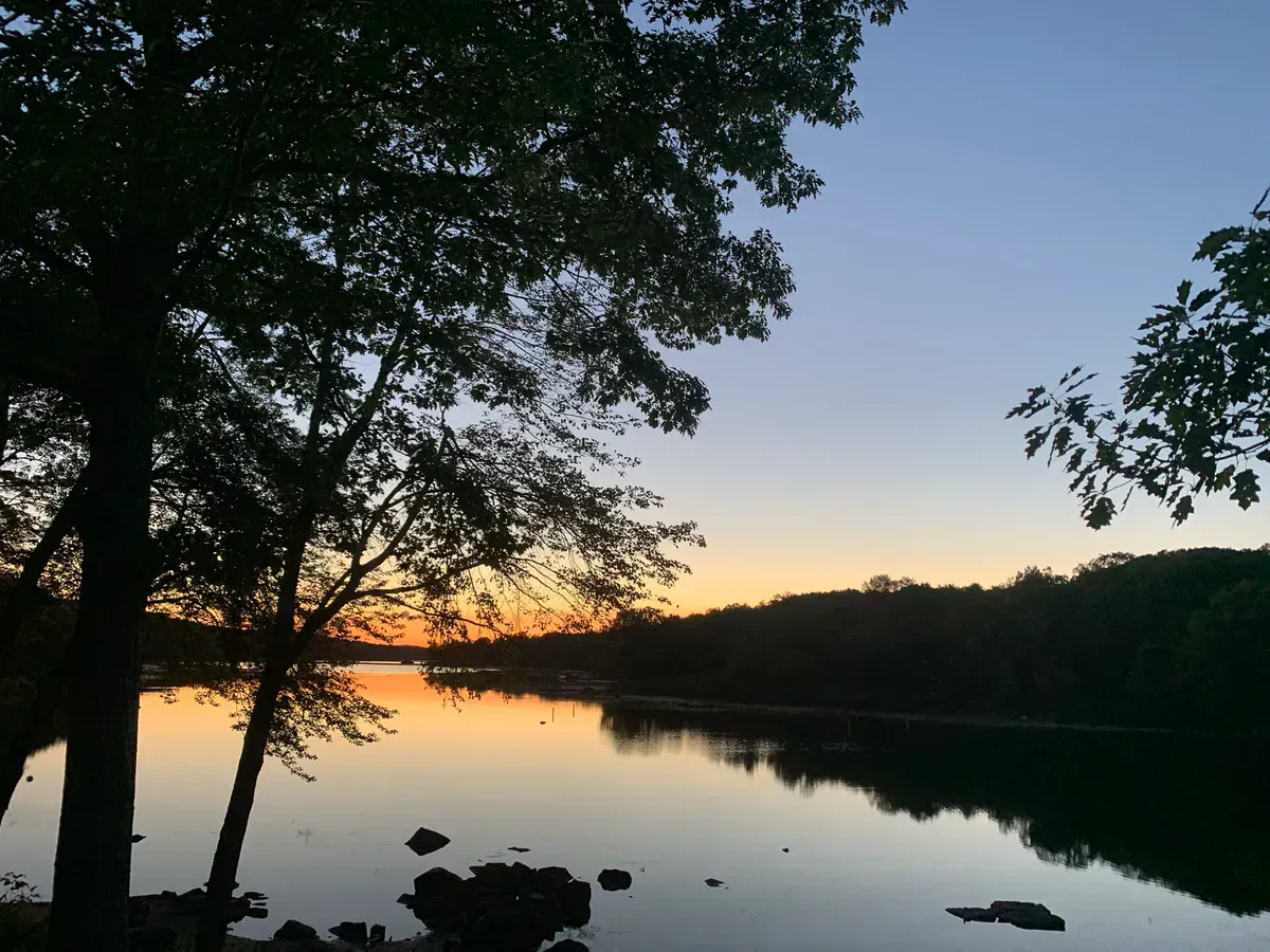
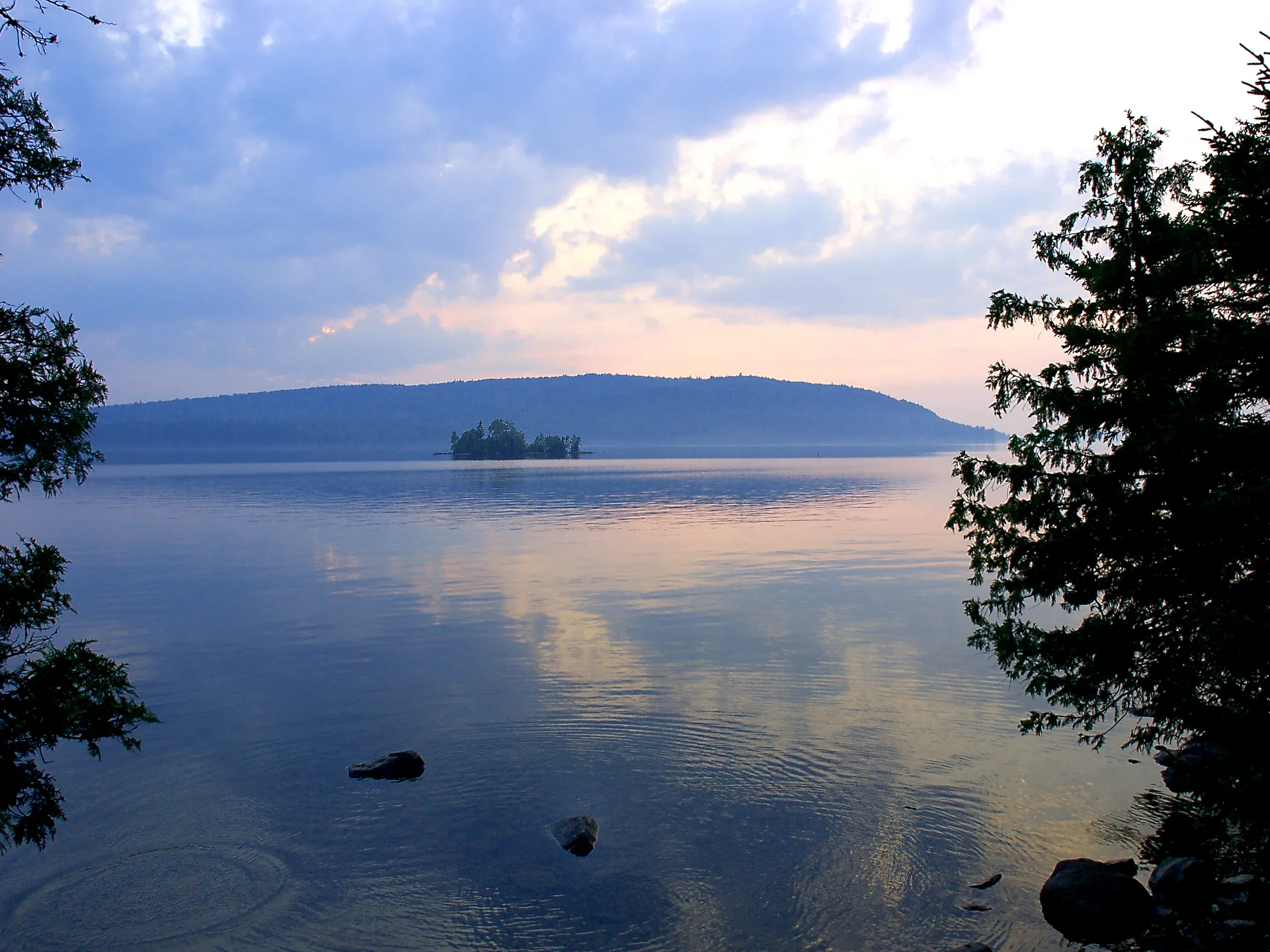
Moosehead Lake is where Maine starts to feel genuinely remote. At 40 miles long and up to 10 miles wide, it is the largest lake in the northeastern United States, and its shoreline is almost entirely forested. No highways run along the eastern shore. No resort towns crowd the waterfront. From the air, you see an enormous body of water surrounded by an unbroken carpet of spruce and fir stretching to the horizon. This is the north woods, and Moosehead is its centerpiece.
Greenville, the only real town on the lake, sits at its southern tip and serves as the gateway to everything in the region. From here, a network of gravel logging roads spreads north and east into a landscape that belongs more to moose, loons, and bald eagles than to people. The Moosehead region is not the place for manicured trail systems or busy visitor centers. It is the place to paddle for hours without seeing another boat, to watch a cow moose feeding in a bog at dusk, and to camp on shorelines that have looked the same for centuries.

Best Activities
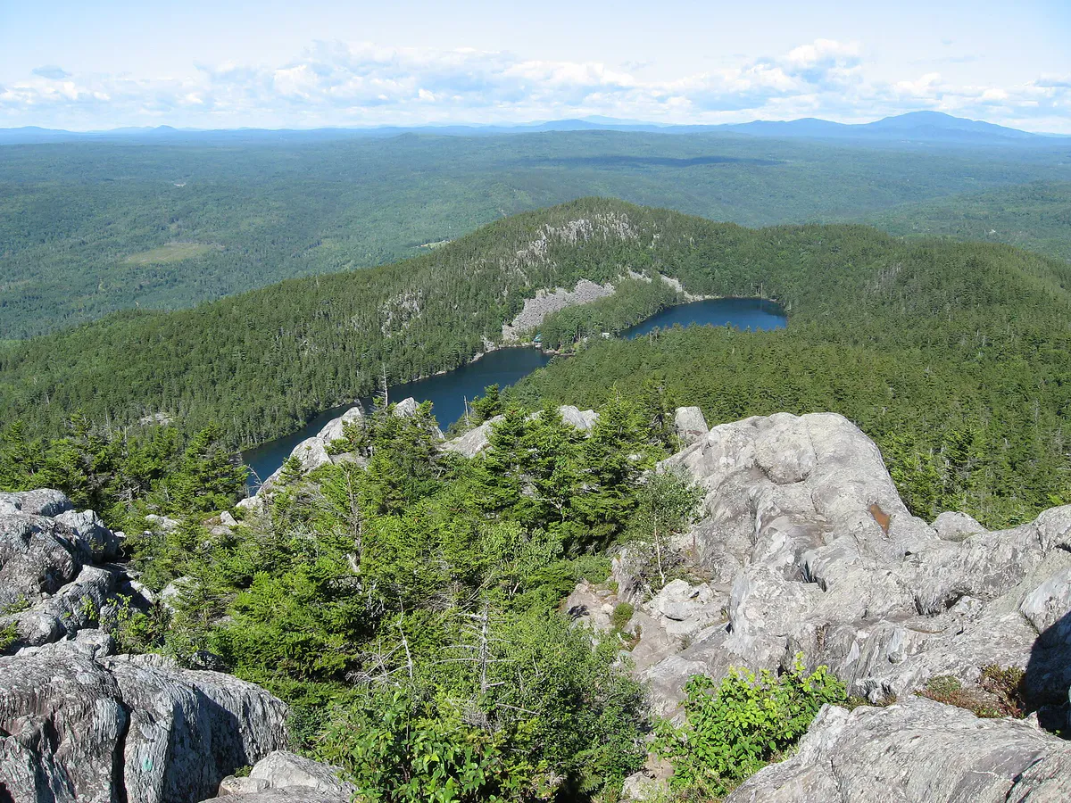
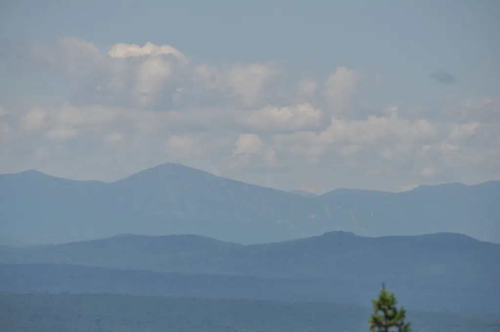
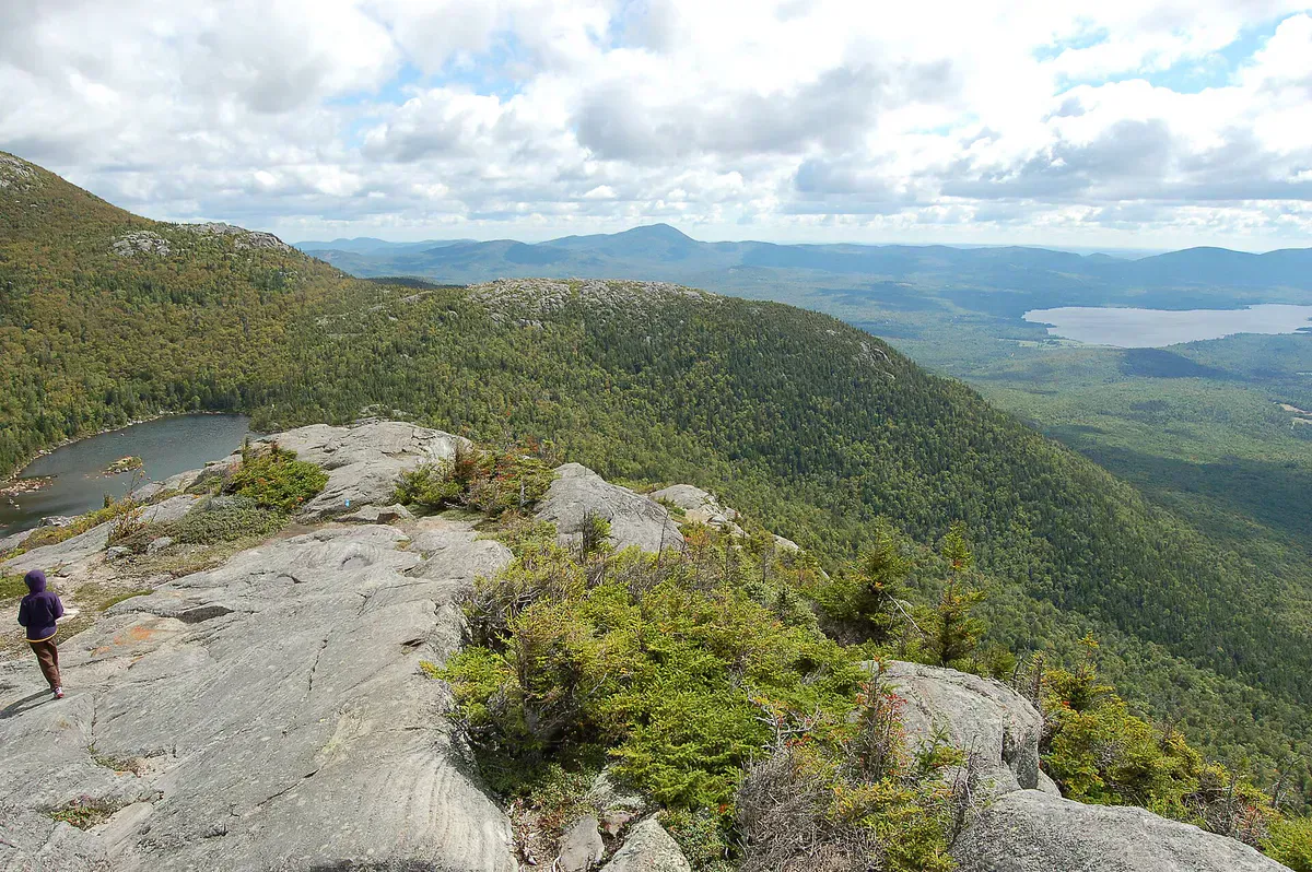
Mount Kineo is the signature hike of the Moosehead region and one of the most unusual mountains in Maine. This massive flint cliff rises 700 feet straight out of the lake on a peninsula that can only be reached by boat. A shuttle runs from Rockwood across the narrows (about a 15-minute ride), and from the dock, the Indian Trail climbs 1.6 miles to the summit through dense forest before emerging onto open ledges with panoramic views of the lake and surrounding mountains. The Bridle Trail offers an easier descent. Native Americans traveled great distances to quarry Kineo’s rhyolite for tools and weapons, and you can still find flakes of the dark volcanic stone along the shore.


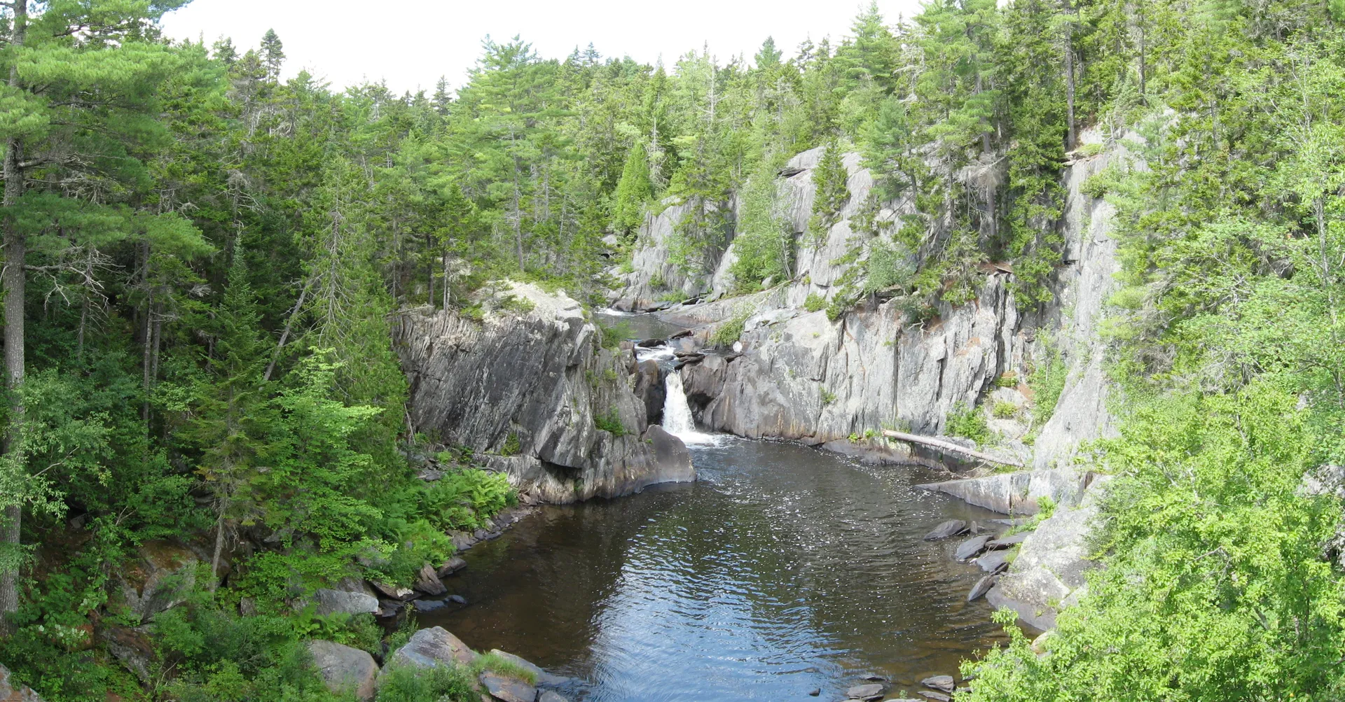
Gulf Hagas is often called the Grand Canyon of Maine, and while that comparison oversells the scale, it undersells the beauty. This three-mile-long slate gorge on the West Branch of the Pleasant River drops through a series of waterfalls, cascades, and deep pools surrounded by old-growth forest. The Rim Trail follows the edge of the gorge for about 5.5 miles (one way), with spur trails leading down to viewpoints at Screw Auger Falls, Buttermilk Falls, and the Jaws. Access is via the Katahdin Iron Works road, a rough gravel route that requires a gate fee. Plan a full day, bring lunch, and be prepared for rugged footing.
Lily Bay State Park, about 8 miles north of Greenville on the eastern shore, is the best base for lake access. The park has two sand beaches, a boat launch, and 90 campsites spread through the woods along the shore. The swimming is cold but refreshing, and sunsets over the lake from the beach are hard to beat. Kayaking from Lily Bay north along the undeveloped shoreline is a memorable paddle.
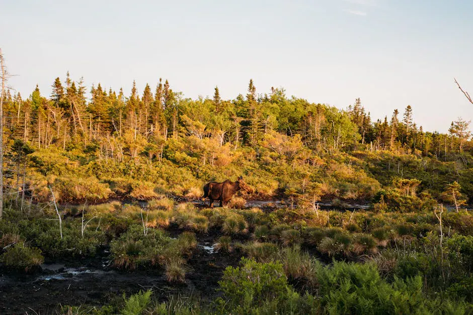
Moose watching is not a gimmick in this region. Moose density around Moosehead is among the highest in the lower 48 states, and your odds are excellent if you know where and when to look. Dawn and dusk are prime times, and the best spots are along logging roads and near bogs where moose feed on aquatic plants. The Lazy Tom Bog road north of Kokadjo and the roads around Shirley are reliable locations. Several outfitters in Greenville offer guided moose safaris by truck, canoe, or floatplane.
Lazy Tom Bog, about 25 miles north of Greenville on the Frenchtown Road past Kokadjo, is one of the most reliable moose-watching spots in Maine. Go at dawn or dusk, May through September. Park at the bog’s edge and scan the open water where moose wade in to feed on aquatic plants. Keep your engine off and stay quiet.
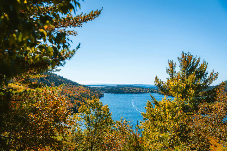
Paddling is the natural way to experience Moosehead. The lake itself is big enough to demand respect (whitecaps and sudden squalls are common), but the sheltered coves along the eastern shore, the mouth of the Moose River near Rockwood, and smaller ponds like First Roach Pond offer calmer options. Multi-day canoe trips on the Moose River or the West Branch of the Penobscot are classic north woods expeditions that start from the Moosehead area.
Two ways to see the lake that most visitors miss: Currier’s Flying Service in Greenville runs seaplane rides that give you a bird’s-eye view of the entire lake and surrounding wilderness. For something historic, the SS Katahdin is a restored 1914 steamboat that runs cruises from Greenville. The Katahdin operated as a working vessel hauling logs for decades before becoming a floating museum and excursion boat. Both are worth the time.
Borestone Mountain Audubon Sanctuary
Borestone Mountain, managed by Maine Audubon, is a popular hike about 12 miles north of Monson and roughly 30 miles south of Greenville. The trail climbs 1,600 feet over about 2 miles (one way) past two mountain ponds to a pair of open summits with a fire tower. The views look north over the Moosehead region and south toward the Hundred Mile Wilderness. A staffed nature center at Sunrise Pond operates in summer and fall. The trail is well-maintained but steady uphill. This is a strong half-day hike and a good alternative to Kineo if you are coming from the south.
On the Water
Beyond paddling and swimming, Moosehead Lake has a few surprises. The Kineo golf course on the Mount Kineo peninsula is a nine-hole course accessible only by boat, operating since the 1880s. Ice fishing is a major winter tradition here. The lake freezes by mid-January, and the annual Greenville ice fishing derby draws hundreds of anglers to the lake each year, targeting togue (lake trout), salmon, and brook trout through the ice. Snowmobiling covers hundreds of miles of groomed trails radiating from Greenville into the backcountry.
More Hikes Around Moosehead
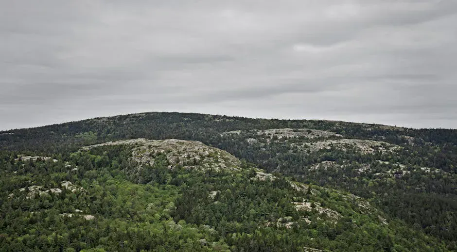
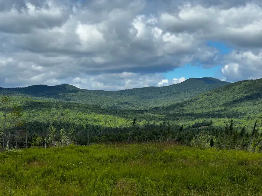
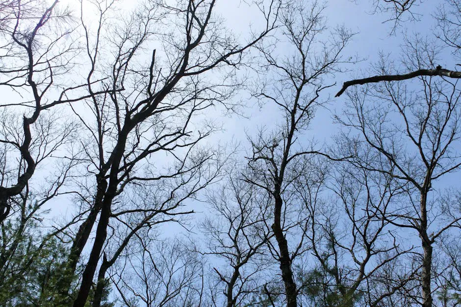
Beyond Kineo and Gulf Hagas, the country around Greenville hides a set of climbs that see almost no traffic. Big Spencer Mountain is the standout: a hard 4-mile round trip that gains 1,850 feet, using bolted wooden ladders to climb the steep upper pitch to a flat 3,205-foot ecological-reserve summit with a wide view north toward Katahdin. The trailhead sits off logging roads with no cell service, so carry a map and top off your tank in Greenville. Closer to town, Number 4 Mountain is a steep, ledgy 4.2-mile climb of about 1,480 feet to a former fire-tower site, with the option to push on to remote Baker Mountain.
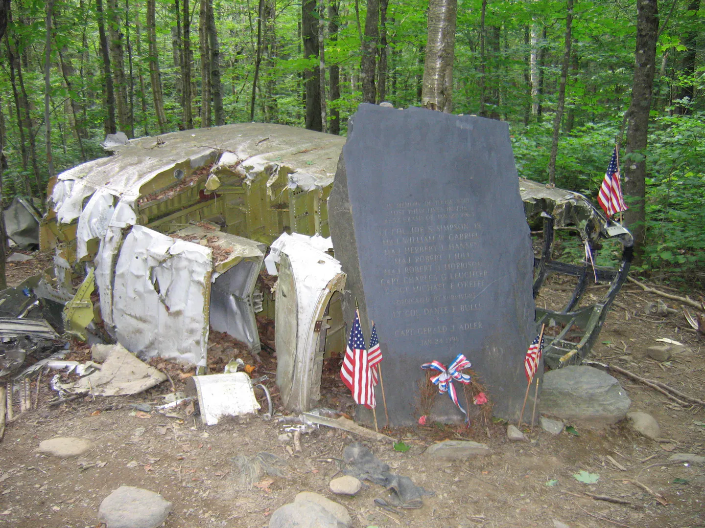
For something different, the Elephant Mountain B-52 Crash Site is a short, sobering 0.4-mile walk to the wreckage of a 1963 Cold War bomber that went down south of Moosehead, with a memorial to the seven crew who died. If you want the region’s biggest summit, Whitecap Mountain is the high point of the 100-Mile Wilderness at 3,644 feet, a rugged 7.7-mile Appalachian Trail round trip with open views of Katahdin and the Barren-Chairback range. South of the lake near The Forks, Moxie Bald Mountain offers a bald 2,630-foot AT summit and 360-degree views over Moxie Pond on an 8-mile round trip.
Waterfalls and Gorges
The Moosehead foothills hold some of Maine’s best waterfalls. Moxie Falls near The Forks is one of New England’s tallest, a roughly 90-foot drop reached by an easy 2-mile round trip on a mostly flat trail that ends at a boardwalk overlook above the gorge. Houston Brook Falls near Bingham is a broad 40-foot curtain with a swimming hole at the base, an easy quarter-mile walk through cedar forest. Deeper in the 100-Mile Wilderness, Little Wilson Falls drops through a narrow slate gorge on a 2.5-mile round-trip hike along the Appalachian Trail near Monson. If you are headed to Gulf Hagas, stop at Katahdin Iron Works, the ruins of an 1843 charcoal iron smelter with a towering stone blast furnace, which also marks the gate road into the gorge.
The Wider Lake Country
Moosehead anchors a whole web of wild water. The Moose River Bow Trip near Jackman is the region’s classic canoe outing: a 34-mile multi-day loop through Attean and Holeb ponds and back down the Moose River, with short carries and no shuttle required. First Roach Pond near Kokadjo is a quiet fly-fishing water with wild brook trout and access to AMC’s Medawisla Lodge. For true remoteness, Chesuncook Lake stretches 25,000 acres and holds Maine’s last village with no road, reachable only by boat or floatplane. Whitewater seekers head to the Kennebec River Gorge below Harris Station Dam at The Forks, Maine’s premier big-water run with Class IV-V dam-release rapids.
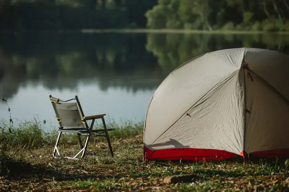
For camping beyond Lily Bay, the shoreline and islands of Moosehead hold more than 90 free primitive campsites with no fees and no reservations, or you can base at Peaks-Kenny State Park on Sebec Lake, with 56 wooded sites, a sandy beach, and easy trails under an hour from Bangor.
When to Visit
Summer (late June through August) is the core season. Water temperatures on the lake peak in late July and early August, and this is when all services in Greenville and Rockwood are fully operational. Black flies are a real factor in June, so late June onward is more comfortable.
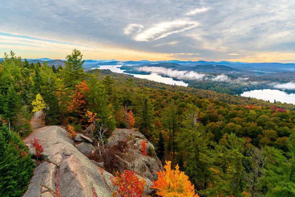
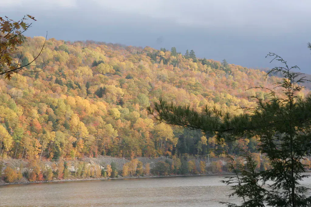
Fall foliage in the Moosehead region peaks in late September to early October, and it is spectacular. The surrounding ridges light up with color, and the crowds are almost nonexistent. Many lodges stay open through Columbus Day weekend.
Winter transforms the region into a snowmobile and ice fishing destination. Greenville is a major hub on Maine’s snowmobile trail network, and the lake freezes thick enough by mid-January to support truck traffic at ice fishing derbies. Cross-country skiing and snowshoeing on the logging roads are quieter alternatives.
Spring is mud season and best avoided for most outdoor activities. The ice typically goes out on the lake in mid-May, and conditions do not stabilize until June.
Spring
Mud season. Ice-out mid-May. Most trails and roads are soft until June.
Summer
Prime season for paddling, hiking, fishing, and moose watching. All services open.
Fall
Spectacular foliage late September. Fewer crowds, many lodges open through Columbus Day.
Winter
Snowmobiling, ice fishing, and XC skiing. Lake freezes by mid-January.
Getting There
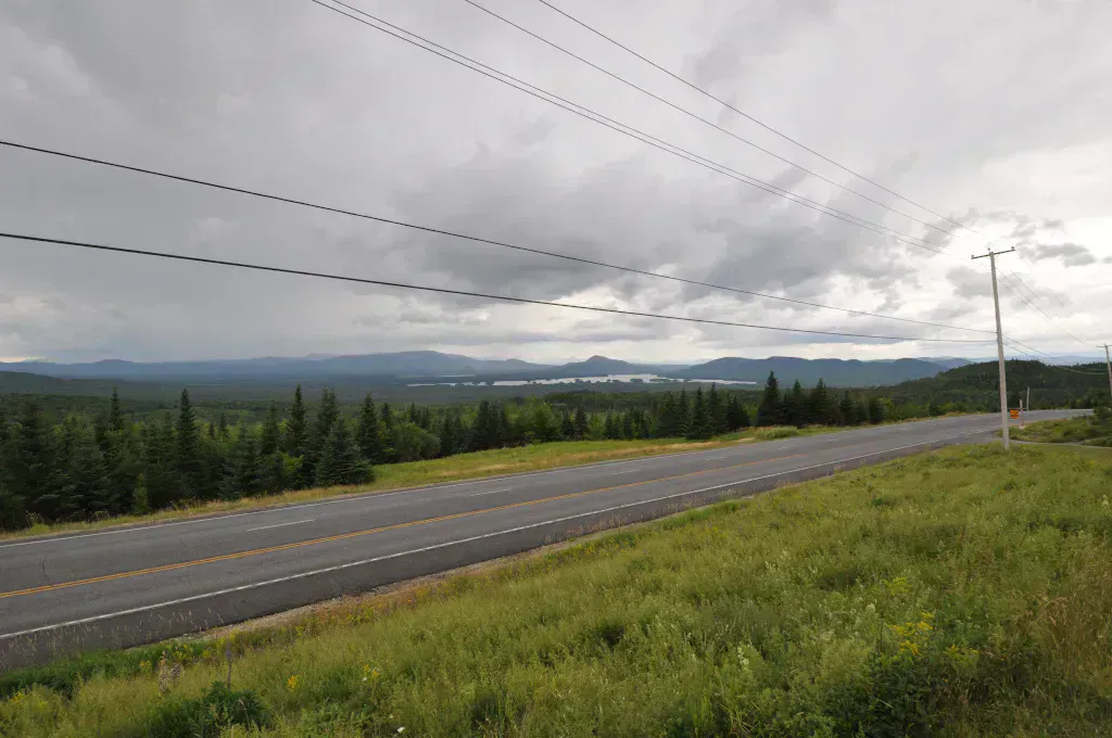
Greenville is about 3.5 hours north of Portland. The most common route follows I-95 to Newport, then Routes 7 and 15 north through Dover-Foxcroft. From Bangor, it is about 1.5 hours via Routes 15 and 6. There is no public transportation to the region. A vehicle with decent clearance is helpful for the gravel logging roads, and in winter, four-wheel drive is essential.
Rockwood is another 20 miles north of Greenville on Route 15. Kokadjo is about 18 miles north of Greenville on the Lily Bay Road, and beyond it, the roads turn to gravel and civilization thins out quickly.
Tips for Your Visit
Book the Mount Kineo shuttle from Rockwood in advance during July and August. The boat runs on a set schedule, and you need to plan your hike around the pickup times. The round trip, including the hike, takes about 3 to 4 hours.
Gulf Hagas requires real hiking effort. The trail is rocky, rooty, and often muddy, with several stream crossings. Bring waterproof boots, trekking poles, and do not attempt it in sneakers. Allow 5 to 7 hours for the full out-and-back along the rim.
Gas up in Greenville. There are very few services north of town, and cell coverage drops off sharply once you leave the Route 15 corridor. Carry a physical map of the region, especially if you plan to explore the logging roads.
For moose watching, drive slowly on gravel roads at dawn and dusk, and keep your eyes on the road margins and boggy clearings. Moose are large, dark, and surprisingly well camouflaged in low light. They are also unpredictable, so maintain a safe distance and never approach a cow with a calf.
Frequently Asked Questions
When is the best time for moose watching near Moosehead Lake?
May through September, with peak activity at dawn and dusk. Moose feed on aquatic plants in bogs and pond edges during these hours. Lazy Tom Bog north of Kokadjo and the roads around Shirley are the most reliable spots. June and September tend to have the best sightings with fewer bugs and thinner foliage.
What are the best things to do at Moosehead Lake?
Hiking Mount Kineo (boat-access only, fire tower summit), paddling the lake and surrounding ponds, moose watching, fishing for landlocked salmon and brook trout, cruising on the SS Katahdin steamboat, and exploring Gulf Hagas. In winter, snowmobiling and ice fishing take over. Seaplane rides from Greenville offer an aerial perspective of the entire region.
Is Moosehead Lake remote?
Greenville, the main gateway town, is about 3.5 hours north of Portland and 1.5 hours from Bangor. It has lodging, restaurants, fuel, and outfitters. North of Greenville, things get remote quickly. Cell service drops off, roads turn to gravel, and services are scarce. A vehicle with decent clearance is helpful, and in winter, four-wheel drive is essential.
Explore the Moosehead Region
- Moosehead Lake - Swimming, fishing, paddling, and the SS Katahdin steamboat
- Gulf Hagas - Three-mile slate gorge with waterfalls and old-growth forest
- Greenville - Gateway town with outfitters, lodging, and seaplane services