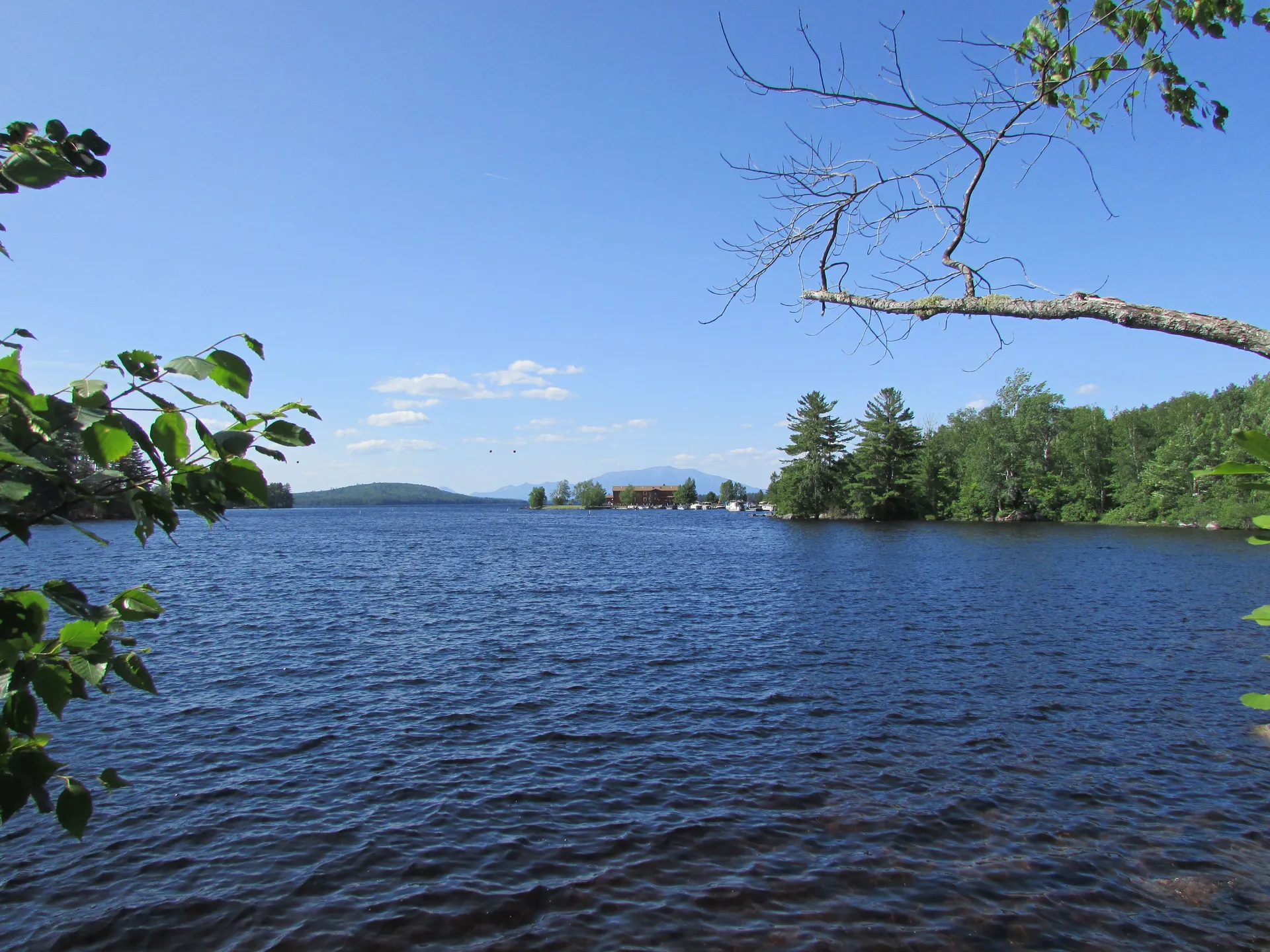
The Beehive Trail involves climbing iron rungs and ladders bolted into near-vertical granite with significant drop-offs and no guardrails. People have been injured on this trail. Do not attempt in wet conditions, with young children, or if you are uncomfortable with heights. This trail is one-way up only.
The Beehive’s iron rungs and granite are unsafe with ice, so do not climb it in winter. For a winter walk near Sand Beach, try Great Head or Ocean Path, which the park suggests in winter instead of hard summer routes. Bring traction for icy spots (NPS winter guide).
What Makes the Beehive Trail Worth the Fear
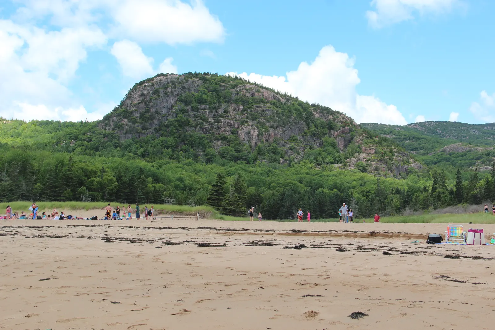
From the base, the Beehive looks like a wall, and plenty of first-timers think about turning back. The cliff rises 450 feet above Sand Beach. From the parking lot you can see the iron rungs glinting in the sun, tiny against all that granite.
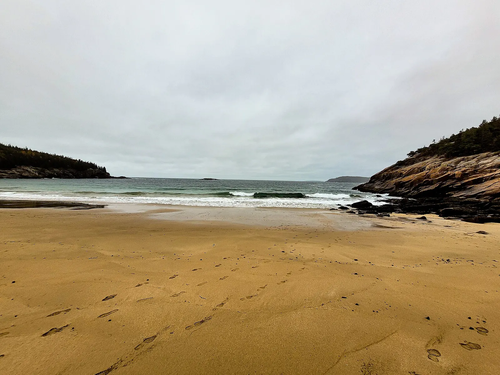
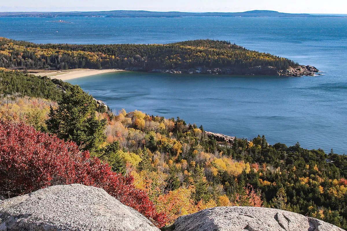
The payoff comes 60 to 90 minutes later: Sand Beach curving below the summit. That view is why this is one of Acadia’s most popular trails. The Beehive packs a short 1.4-mile loop (NPS) with more adrenaline than most full-day hikes in Maine.
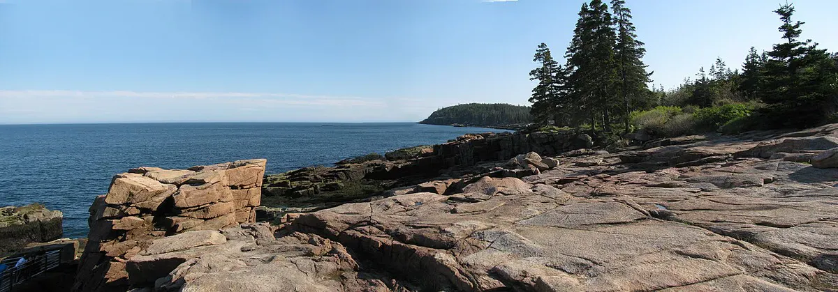
From the top, the view runs across Frenchman Bay to the Schoodic Peninsula. On clear days you can pick out the Porcupine Islands and follow the coast to Bar Harbor. It’s a place to sit on warm granite and forget your hands were shaking ten minutes earlier.
You put your full weight on narrow ledges and bolted rungs here, so footwear grip and ankle support make the difference between confident and shaky.
- Loop
- 1.4 miles
- Climb
- 450 feet
- Summit
- 520 feet
- Time
- 60 to 90 minutes
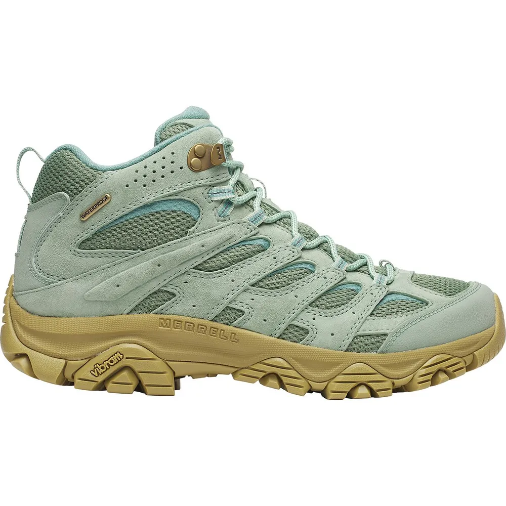
#1Premium
Merrell Moab 3 Mid Waterproof
Who it’s forComfort right out of the box
Why we picked itComfortable out of the box with minimal break-in
Pros
- Wide toe box fits most foot shapes
- Vibram TC5+ sole grips well on roots and mud
- Excellent value for the performance
Know before you buy
- Waterproof membrane wets out faster than Gore-Tex in sustained rain
- Ankle support is moderate compared to stiffer boots
Trail Sections
Sand Beach Trailhead to Tree Line
The trail starts across Park Loop Road from the Sand Beach parking lot. A clear sign points you onto a shady forest path of packed dirt and flat stone. Enjoy it. Your heart rate won’t be this calm again for a while.
Forest Climb
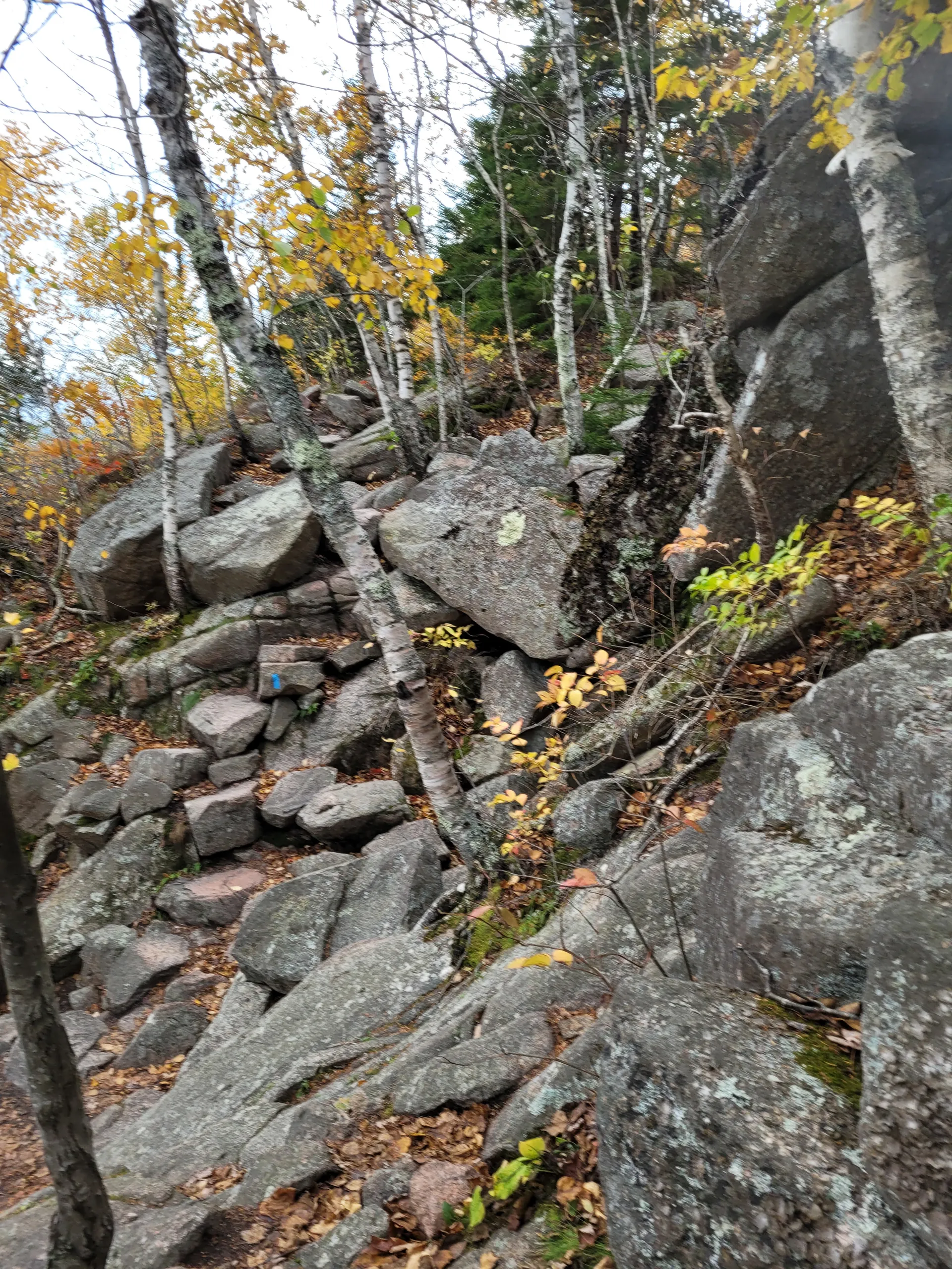
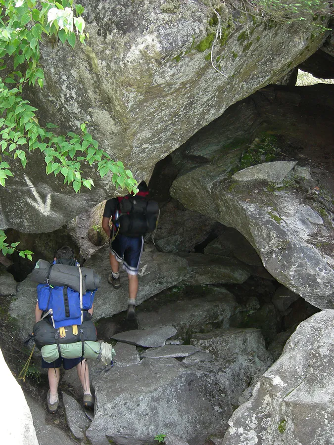
The path steepens through birch and spruce on rocky switchbacks, and you start using your hands on boulders. The first NPS warning sign appears here. It is your last easy chance to turn back before the exposure begins.
Iron Rung Scramble
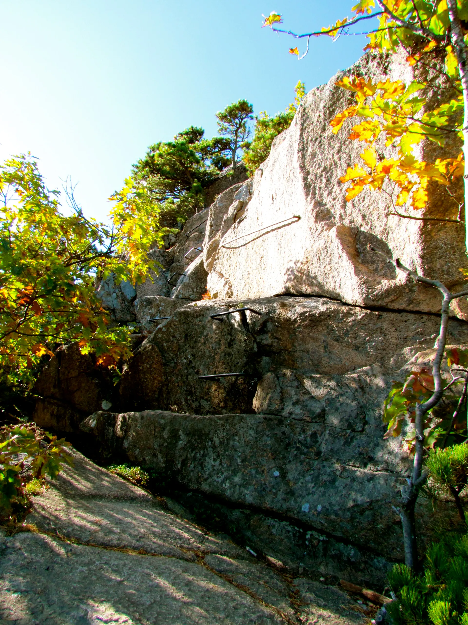
This is why you came. Iron rungs and handholds drilled into the cliff carry you up near-vertical granite. Some narrow ledges have hundreds of feet of open air on one side. There are no guardrails, no nets and no turning back once you commit. The rungs are spaced for adult reach, so children who can’t grab them on their own should not be on this section.
Summit to the Bowl
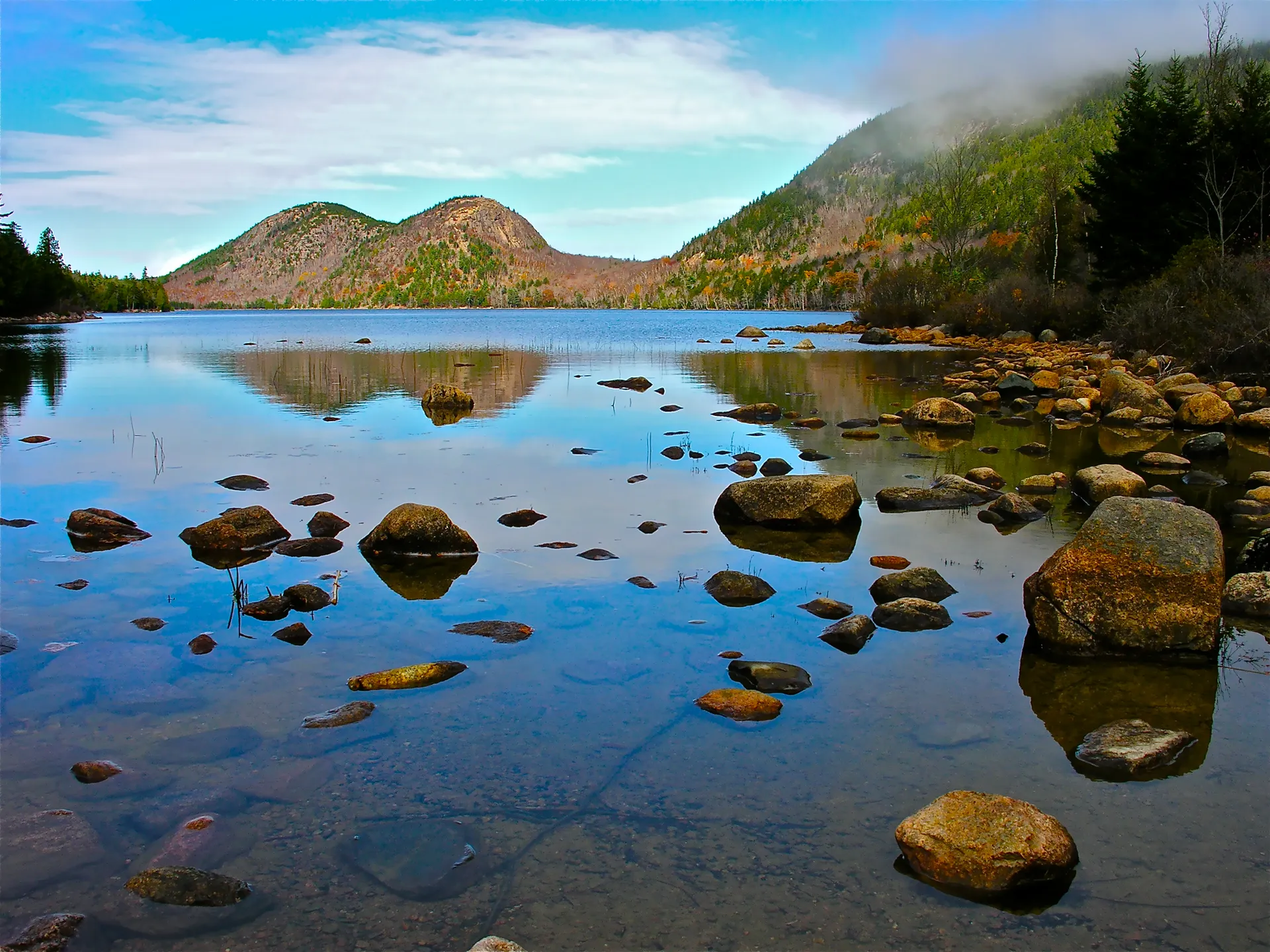
After the last rung you come out on open granite with views all around. The trail follows the ridge and drops to the Bowl, a glacial pond between the Beehive and Champlain Mountain. Most hikers stop here to catch their breath before the easy walk down.
Bowl Trail Back to Sand Beach
An ordinary forest path runs from the Bowl back to the Sand Beach parking area. After the climb it feels like a sidewalk. Restrooms are at beach level.
Is the Beehive Trail Scary?
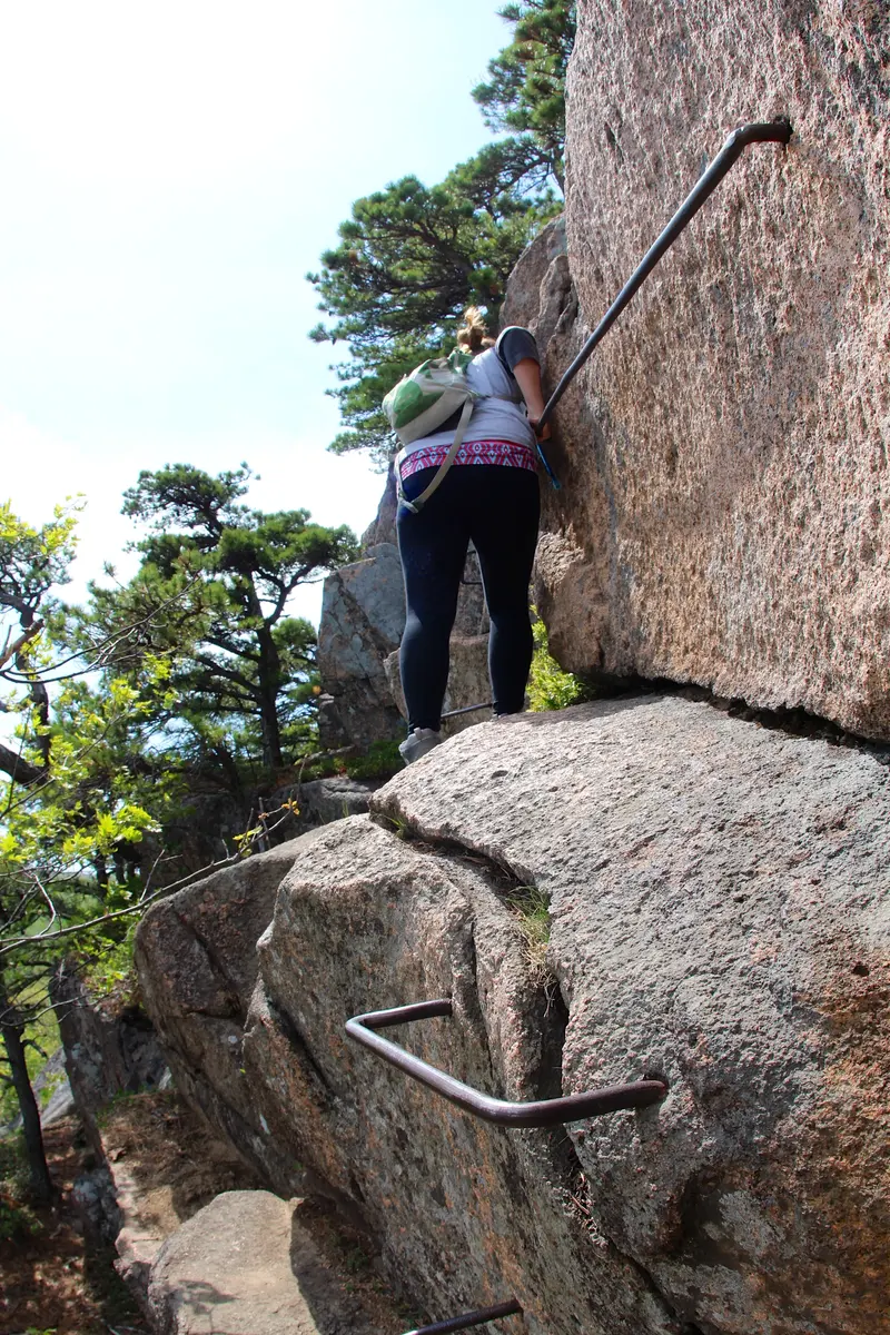
Yes. If heights bother you at all, the Beehive will test you. The exposure is real. You stand on granite ledges no wider than a sidewalk with open air below, and some rungs make you lean out over the drop to reach the next hold.
The rungs are solid, the rock grips well when dry, and the route is well marked. The scary parts are intense but short. If you have scrambled before and trust your balance, you are likely ready.
The real question: can you keep your fear in check and keep moving? If the answer is “I think so,” try it. If it’s “probably not,” there’s no shame in that. Gorham Mountain gives you great views with zero exposure.
When to Go
Spring
Open once the ice is gone. Wet rock and late ice make early spring risky. Nearby Precipice closes for nesting falcons.
Summer
Busiest season. Arrive by 7:30 AM. Crowded.
Fall
Fewer crowds, cool temps, foliage backdrop. Peak: late Sept to mid-Oct.
Winter
Trail not maintained. Ice on granite and iron rungs makes this extremely dangerous.
The Beehive is not on the park’s spring falcon closure list. In 2026 that list was Precipice, Jordan Cliffs and Valley Cove (NPS, March 2026). Trails can still close for weather or repairs, so call the Hulls Cove Visitor Center at 207-288-3338 or check the Acadia NPS website before the three-hour drive from Portland.
The Sand Beach lot fills by 9:00 AM in peak season, sometimes earlier on weekends. Get there by 7:30 AM, or skip the parking stress and take the Island Explorer Route 3 (Sand Beach line) from the Village Green in Bar Harbor. The bus is free with your park pass and stops at the trailhead. Early morning also means cooler rock, fewer people on the rungs and better light for photos.
What to Bring
What to Bring
- Sturdy hiking boots with good grip
- 1-2 liters of water (none on trail)
- Small daypack (hands must be free)
- Phone with secure strap or case
- Sunscreen (exposed rock, no shade)
- Light layer for summit wind
- Snack for the Bowl rest stop
- Park pass ($35/vehicle or America the Beautiful)
You need both hands for the rungs, and poles get in the way on narrow ledges. Trail runners can work for experienced hikers, but proper hiking boots with ankle support are the better call on the rocky descent from the Bowl.
Beehive vs Precipice
| Feature | Beehive | Precipice |
|---|---|---|
| Difficulty | Hard | Expert |
| Distance | 1.4 miles (loop) | 3.2 miles (loop) |
| Elevation Gain | 450 ft | 1,000+ ft |
| Summit Elevation | 520 ft | 1,058 ft |
| Iron Rung Sections | Short, intense bursts | Long, sustained exposure |
| Falcon Closure | Not on the 2026 list | Each spring until rangers reopen it |
| Hike Time | 60-90 minutes | 1.5-2.5 hours |
| Descent | Bowl Trail (easy loop) | Must use alternate trail (adds 30-45 min) |
| Best For | First iron-rung experience | Experienced scramblers only |
The Precipice Trail is the next step up. If the Beehive made your palms sweat but you kept going and wanted more, try the Precipice. If it made you question your life choices, stay with the Beehive or pick a trail without rungs. Jordan Cliffs Trail is the third trail in the family: iron rungs and ledges above Jordan Pond with a fraction of the crowds.
Combining with Other Hikes
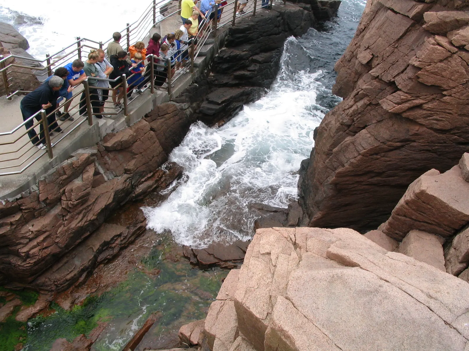
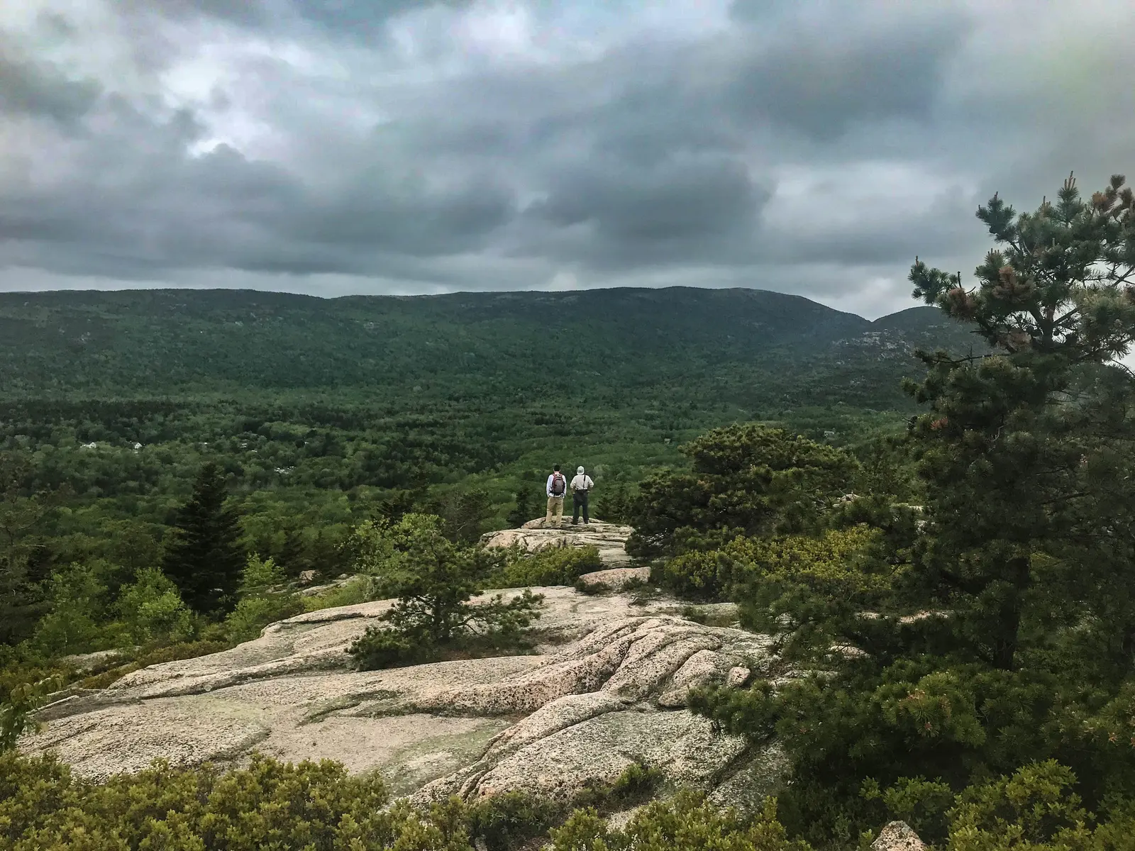
The Beehive fits into a full day around Sand Beach. After the descent, walk the Ocean Path south to Thunder Hole and Otter Cliff. With energy left, Gorham Mountain has solid views without the exposure. You can also add Champlain Mountain by way of the Bowl Trail, though that adds a lot of distance and climbing.
- Ocean Path 4.4 mi · Easy · Bar Harbor Walk south from Sand Beach to Thunder Hole and Otter Cliff.
- Gorham Mountain 3.5 mi · Moderate · Bar Harbor Open granite and ocean views with no rungs.
FAQ
Is the Beehive Trail scary?
Yes, for most people. The iron rung sections involve real exposure with significant drops. The scary parts are short but intense. If you are comfortable with heights and can control your fear, you will likely be fine. If heights genuinely paralyze you, choose a different trail.
How long does the Beehive Trail take?
Most hikers complete the full loop (up the Beehive, down through the Bowl) in 60 to 90 minutes. Add time if you want to rest at the Bowl or linger on the summit. The iron rung sections can slow you down if other hikers are ahead of you.
Can kids do the Beehive Trail?
It depends on the child. The iron rungs are spaced for adult reach, so children need to be tall enough and strong enough to grab them independently. Kids who are confident climbers and comfortable with heights (typically ages 10 and up) can do it with close adult supervision. Dogs are not allowed.
Has anyone died on the Beehive Trail?
Serious injuries have occurred on the Beehive, and falls from the exposed sections could be fatal. The NPS posts warning signs for a reason. Staying on the marked route, hiking in dry conditions, and knowing your limits are the most important safety factors.
When is the Beehive Trail open?
The trail is generally hikeable from spring through fall when it is dry. It was not on the park's 2026 falcon closure list, which covered Precipice, Jordan Cliffs and Valley Cove. Check with the Hulls Cove Visitor Center at 207-288-3338 or the Acadia NPS website before you drive out. The trail is not maintained in winter, when ice on the granite and iron rungs makes it extremely dangerous.
How hard is the Beehive Trail?
It is rated hard, but the difficulty comes from exposure, not distance. The hike is only a 1.4-mile loop with roughly 450 feet of gain, so the physical effort is moderate. The challenge is the iron-rung scramble up near-vertical granite with narrow ledges and big drop-offs. If you are fit and comfortable with heights, the climbing itself is manageable.
Where is the Beehive Trail and where do I park?
The trailhead is across Park Loop Road from the Sand Beach parking lot in Acadia National Park, about 10 minutes south of Bar Harbor. The lot has roughly 100 spaces and fills by 9 AM in summer, so arrive by 7:30 AM or take the free Island Explorer Route 3 shuttle from the Village Green. Entry is the $35 Acadia vehicle pass or an America the Beautiful pass.
Is the Beehive Trail dog-friendly?
No. Dogs are not allowed on the Beehive because of the iron rungs and exposure. If you are hiking with a dog in Acadia, the carriage roads and the Ocean Path are good leashed-dog options instead.
Can you hike the Beehive without the iron rungs?
Not on the Beehive itself, where the rungs are the only route up. But you can reach the Beehive's summit area and the Bowl pond using the conventional Bowl Trail and skip the exposed climb entirely. For similar ocean views with no scrambling, nearby Gorham Mountain is the better choice.
Getting There
- Drive from Bar Harbor About 10 minutes south on Park Loop Road in Acadia National Park. Follow signs for Sand Beach.
- Pay the park entry Park Loop Road needs a $35 vehicle pass, good for seven days, or an America the Beautiful annual pass.
- Park at Sand Beach The lot has roughly 100 spaces, with restrooms at beach level, at 44.3386, -68.1861. Cell service is good on the whole hike.
- Or take the shuttle Island Explorer Route 3 (Sand Beach line) runs from the Village Green in Bar Harbor, late June through Columbus Day. It's free with a park pass.