Maine’s Mountain Country
Western Maine is where the state stops looking like a coastline and starts looking like true mountain wilderness. The peaks here are not the gentle, rounded hills of the Midcoast. They are rugged, rocky, and high enough to support alpine vegetation above treeline. The Appalachian Trail carves through this region on its final push toward Katahdin, crossing some of its most challenging terrain in the process. For hikers, skiers, paddlers, and anyone who wants to see a wilder side of Maine, this is the place to start.
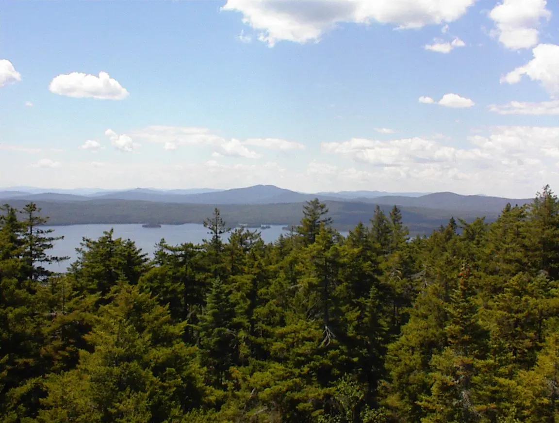
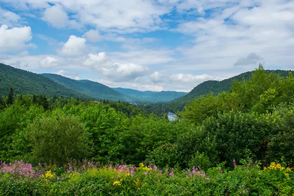
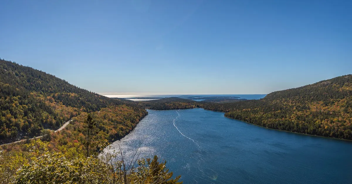
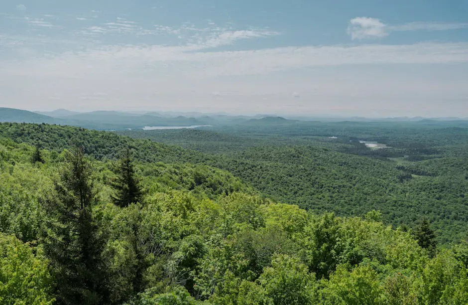
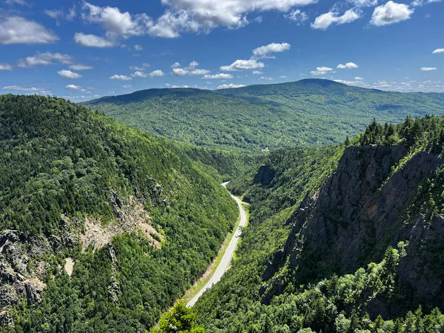
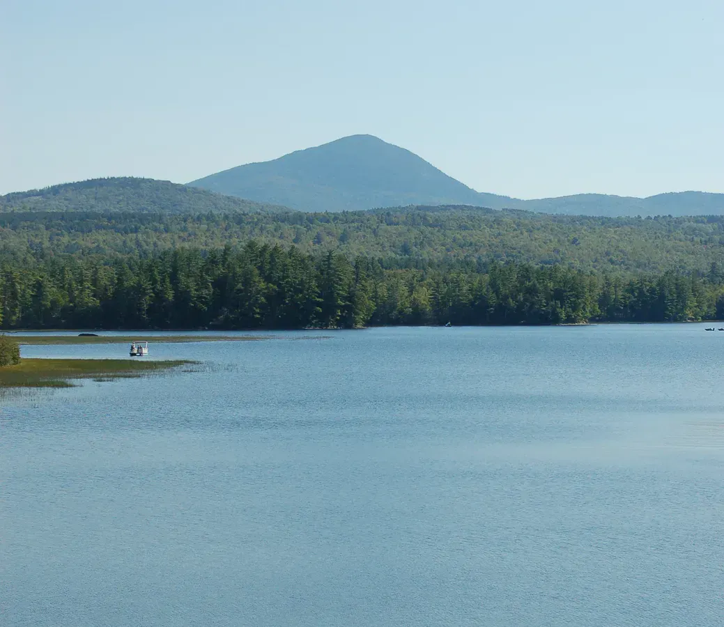
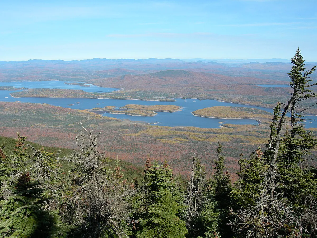
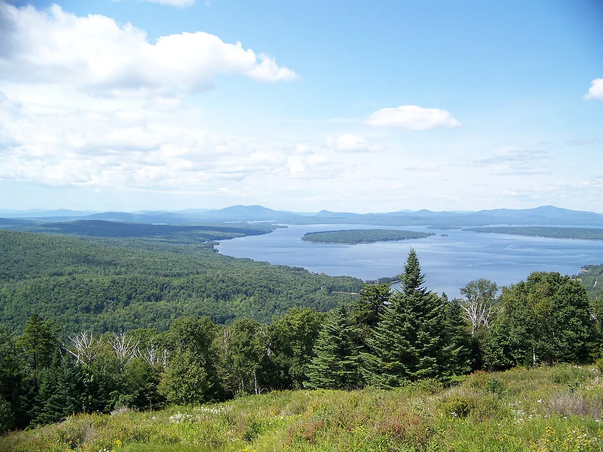
The region runs roughly from Bethel and the Sunday River valley in the south up through Rangeley and the Carrabassett Valley, following the spine of mountains that forms Maine’s border with New Hampshire and Quebec. Route 17 between Rumford and Rangeley is one of the most scenic drives in the state, climbing through hardwood forests before reaching Height of Land, a pullout with a sweeping view of Mooselookmeguntic Lake and the Rangeley Lakes chain. The towns here are small, seasonal, and built around outdoor recreation. You will not find traffic jams or chain restaurants, just mountain roads, cold rivers, and long views.
The Height of Land pull-off on Route 17 is the best roadside view in Maine. Heading north from Rumford toward Rangeley, look for the parking area on the left. The view drops down over Mooselookmeguntic Lake and the entire Rangeley Lakes chain. No hiking required.

Best Activities
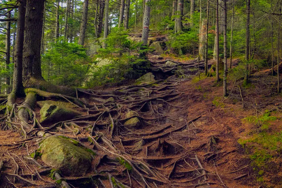
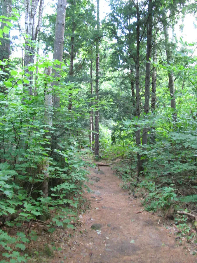
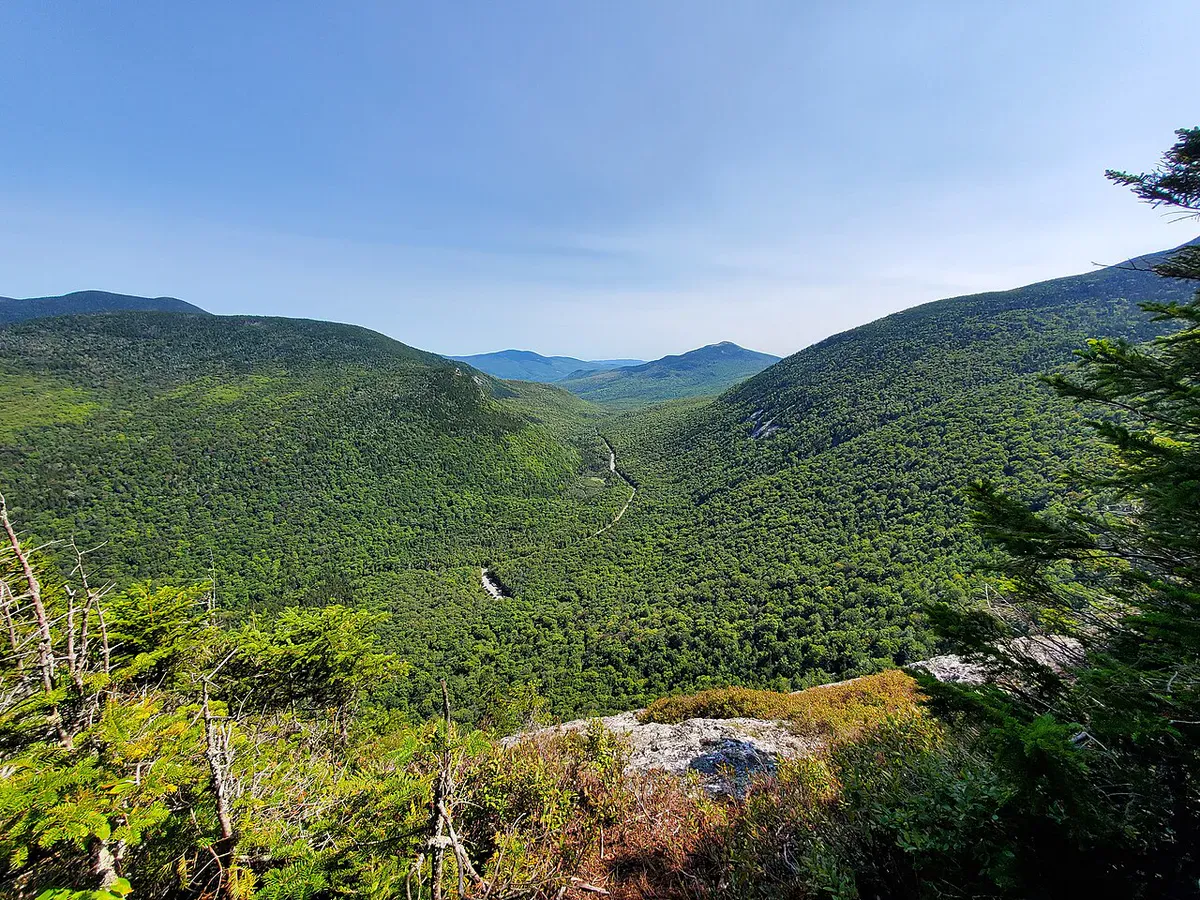
Tumbledown Mountain is one of the most popular hikes in western Maine, and for good reason. The Loop Trail (about 5.5 miles round trip) climbs steeply through birch and spruce forest before reaching Tumbledown Pond, an alpine tarn sitting in a rocky cirque just below the summit ridge. The pond is swimmable in summer and the views from the open ledges above stretch across the entire Weld region. The Brook Trail offers a slightly easier approach. Either way, expect some scrambling near the top.
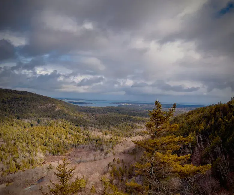
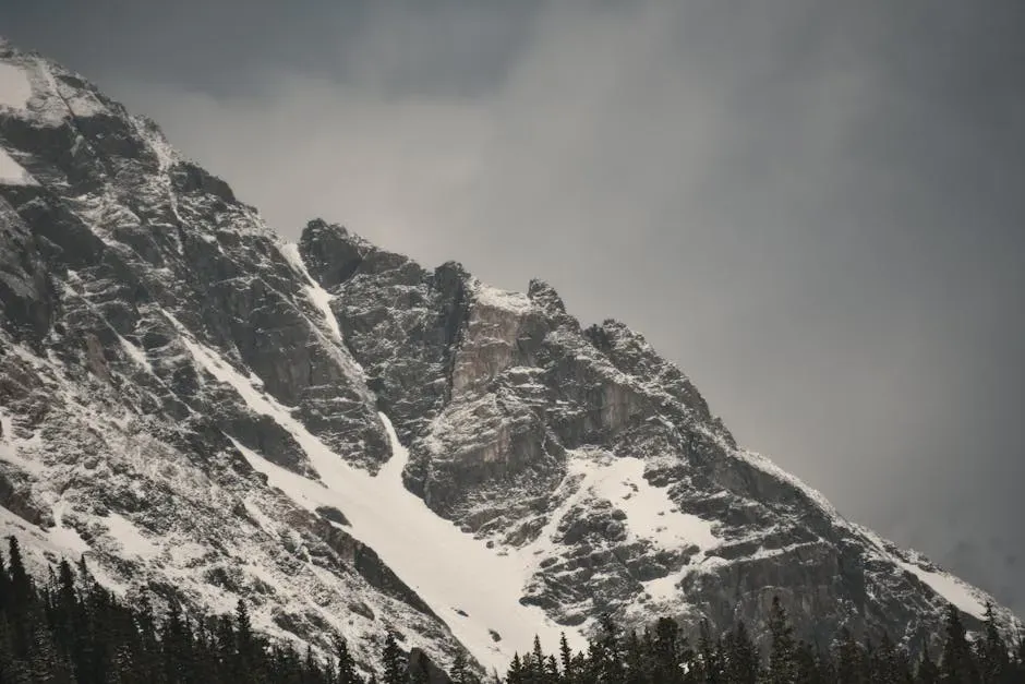
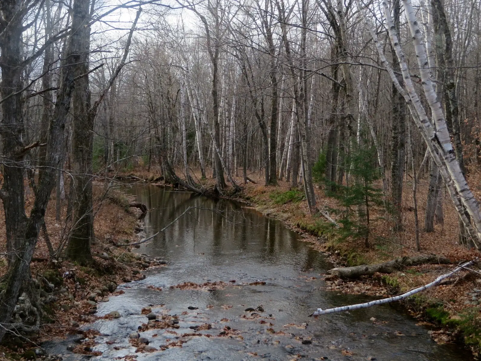
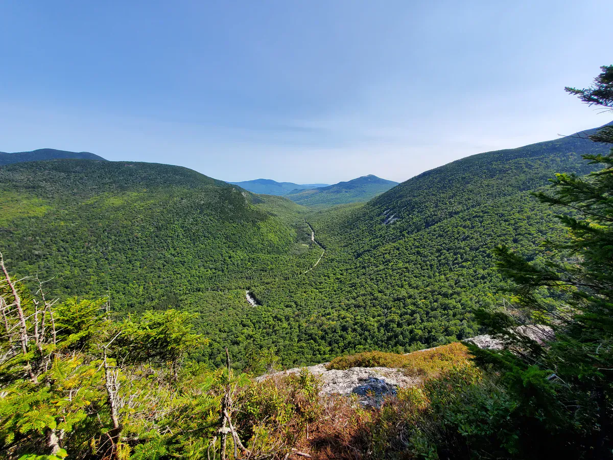
Grafton Notch State Park on Route 26 between Newry and Upton is a concentrated showcase of mountain geology. Screw Auger Falls, a series of cascades twisting through polished granite potholes, sits right off the road. Mother Walker Falls and Moose Cave are short walks from nearby parking areas. Table Rock (2.4 miles round trip) is the standout shorter hike here, climbing through a boulder cave to a flat rock ledge with a direct view down into the notch. For serious hikers, Old Speck Mountain (4,170 feet) rises from the notch via the Old Speck Trail, a 7.6-mile round trip that gains over 2,700 feet and finishes at an observation tower above the trees. The Appalachian Trail crosses Route 26 here, and the Eyebrow Trail offers a dramatic cliff-edge alternative to the lower section of the Old Speck climb.

.jpg)
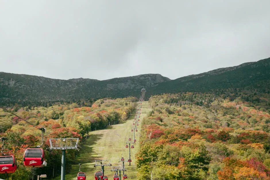
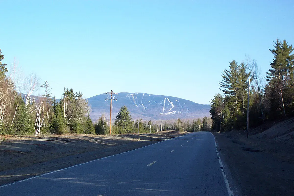
Sugarloaf, at 4,237 feet, is Maine’s second-highest peak and home to the state’s largest ski area. In winter, Sugarloaf offers the only lift-served skiing above treeline in the eastern United States, with snowfields that hold conditions well into April. In summer and fall, the Carrabassett Valley surrounding Sugarloaf is a mountain biking destination, with a growing network of trails maintained by the local recreation department. The town of Kingfield, 15 miles south on Route 27, is the cultural hub of the valley.

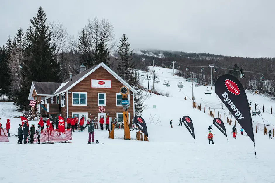
Sunday River in Newry is the other major ski resort, known for reliable snowmaking and a wide variety of terrain. In summer, Sunday River runs a mountain biking park with lift-served downhill trails and a growing cross-country network. The surrounding Bethel area is a four-season base, with cross-country skiing at the Carter’s XC Ski Center in winter and swimming holes along the Androscoggin River in summer. The Androscoggin flows through Bethel and offers easy paddling, tubing, and fishing through a scenic valley.
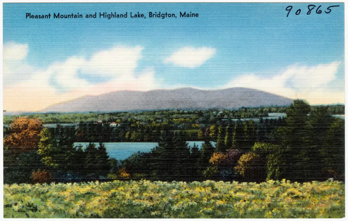
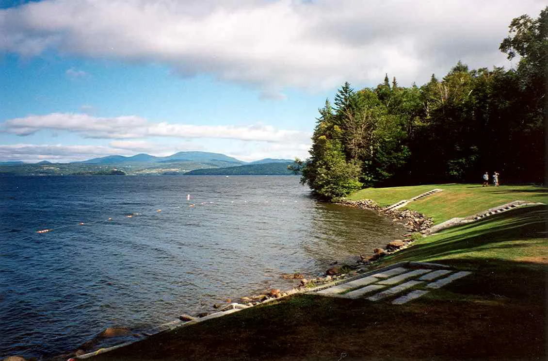
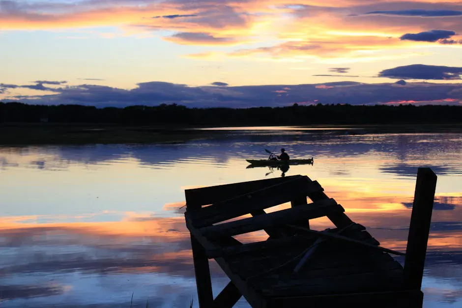
Rangeley Lake and the chain of lakes surrounding it are the paddling and fishing heart of the region. The lake itself is seven miles long and surrounded by forested hills with minimal shoreline development. Mooselookmeguntic Lake, just to the south, is even larger and wilder. Brook trout and landlocked salmon fishing draws anglers from across New England, and the Rangeley Lakes Heritage Trust protects thousands of acres of lakefront and forest that are open to the public.
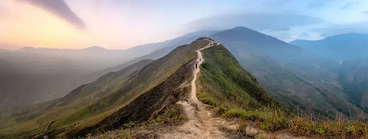
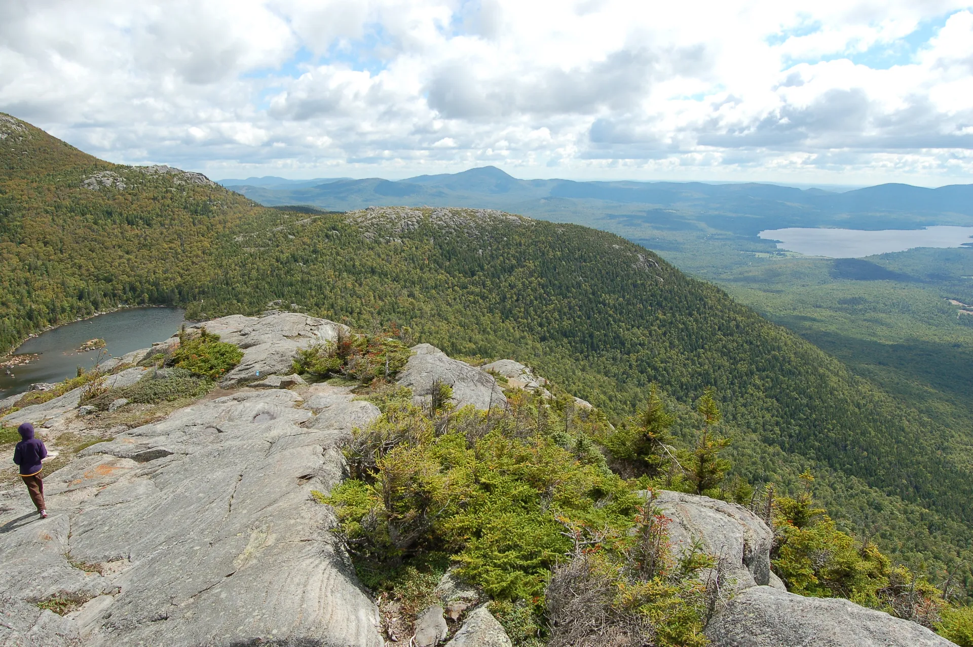
Saddleback Mountain (4,120 feet) reopened its ski area after years of closure and offers some of the most dramatic above-treeline terrain in the East. The Appalachian Trail crosses Saddleback’s summit ridge, and the exposed traverse from Saddleback to the Horn covers about two miles of open alpine ridge with 360-degree views of the Rangeley Lakes and the Bigelow Range.
Saddleback’s above-treeline skiing is the real draw. On a clear powder day, the open snowfields above 3,800 feet feel like a different state entirely. Locals also rate Sunday River Brewing Company in Bethel as the best post-ski stop in the region.
Step Falls Preserve
Step Falls Preserve, managed by The Nature Conservancy, is a short and easy waterfall hike just off Route 26 near Grafton Notch. The trail follows Wight Brook for about half a mile as it cascades down a series of granite ledges, dropping roughly 200 feet through a mossy forest. The upper pools are deep enough to sit in on a hot day, and the smooth rock slabs make good spots for a picnic. This is one of the best family-friendly hikes in the Western Mountains. No fee, no facilities, and the trailhead is just a small pull-off on the road. Combine it with a trip to Grafton Notch for a full day.
The Bigelow Range
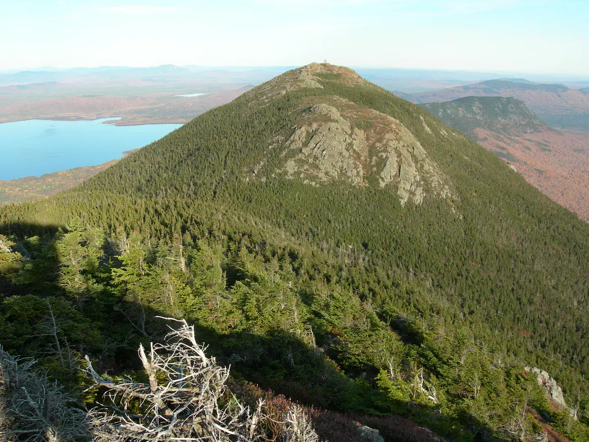
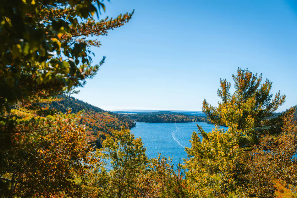
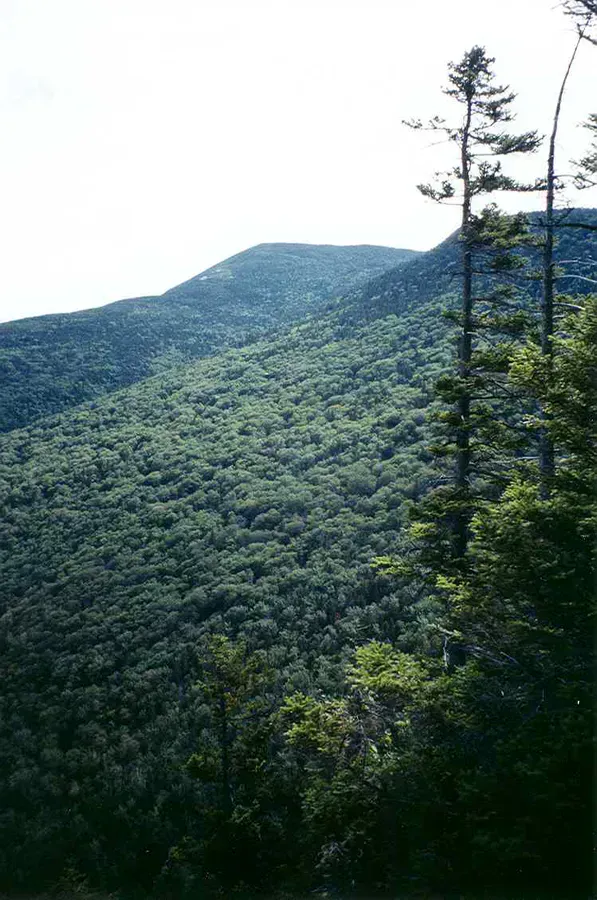
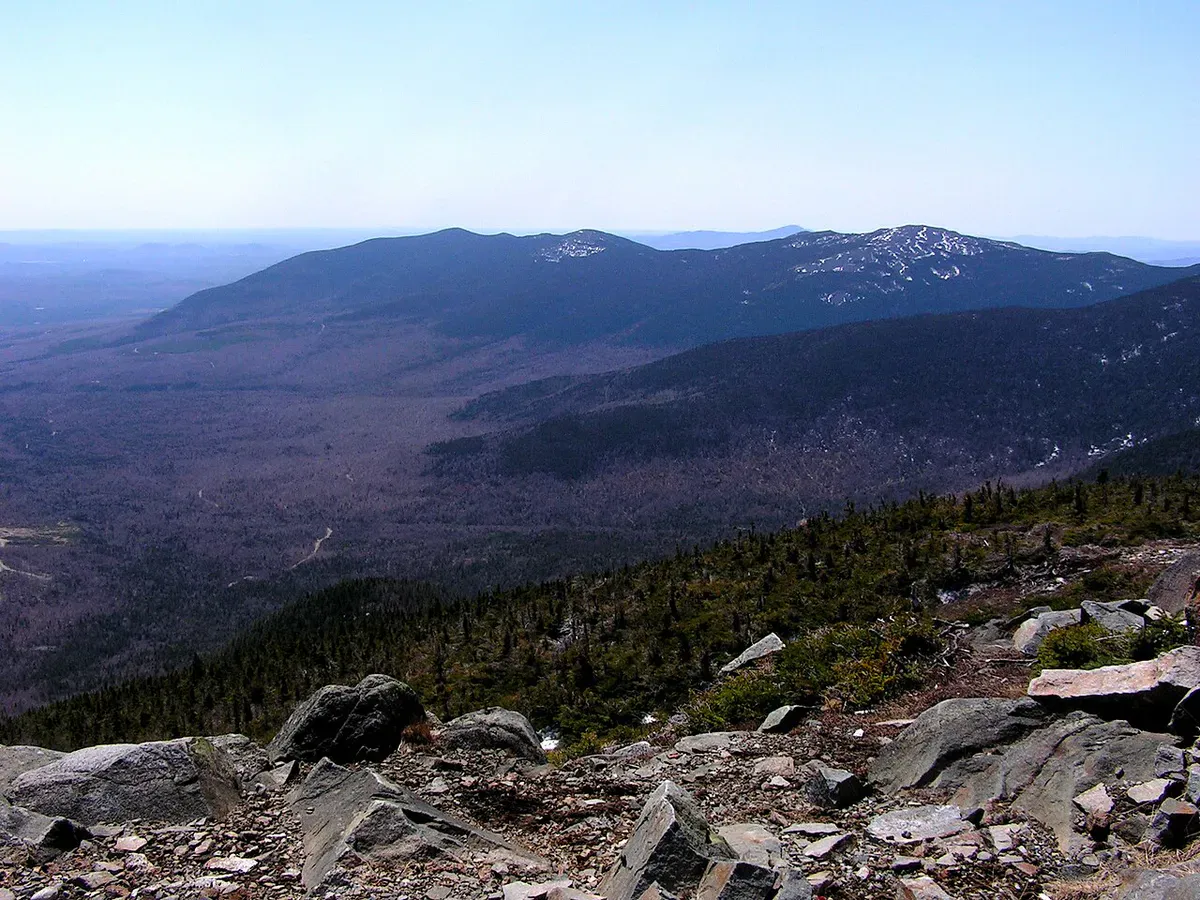
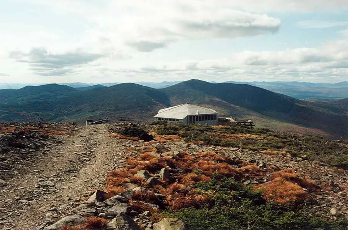
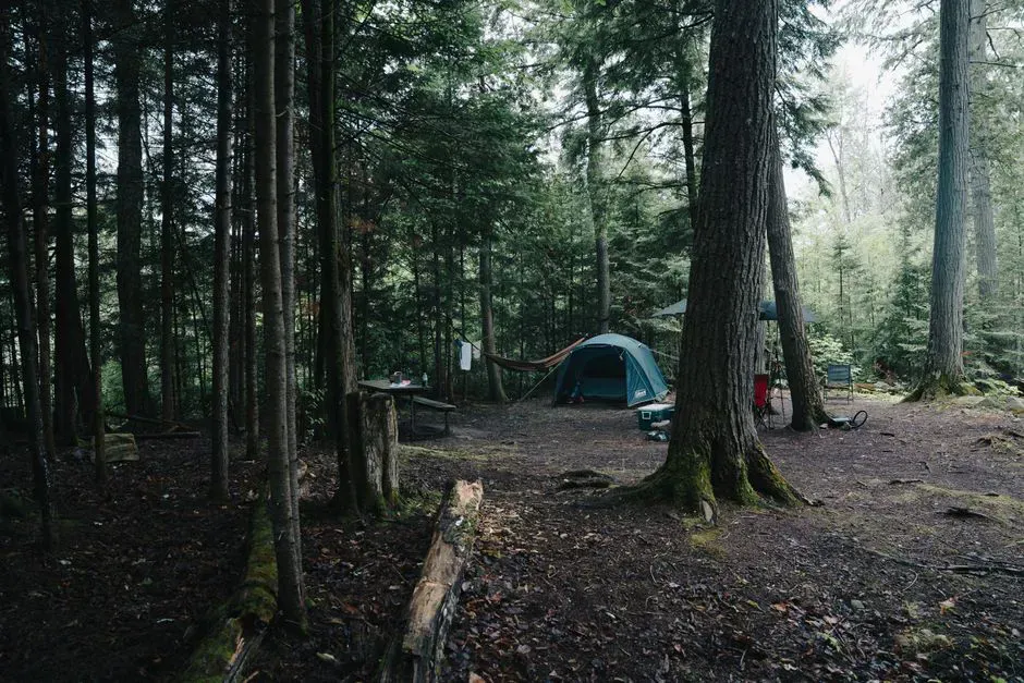
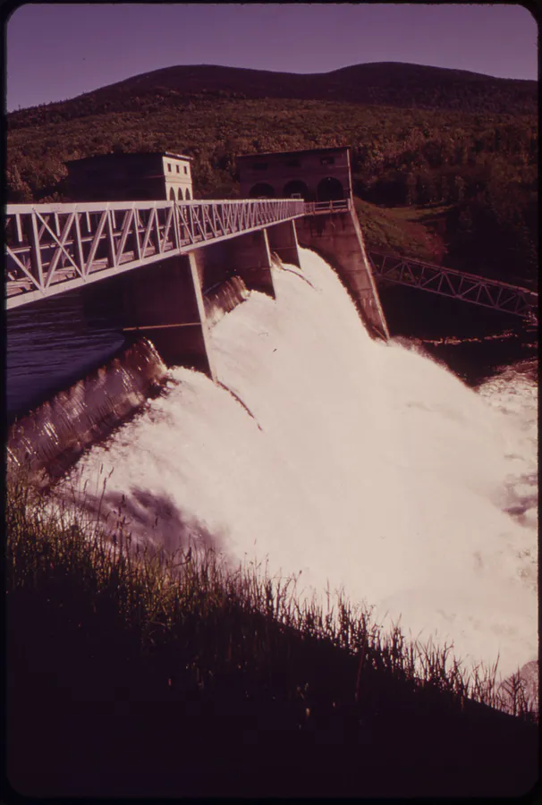
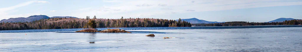
The one major range the itineraries name but the sections above skip is the Bigelow Range, and it deserves a visit. A hard 12-mile loop links West Peak (4,145 feet) and Avery Peak (4,088 feet), two of Maine’s fourteen 4,000-footers, across miles of exposed Appalachian Trail ridge above Flagstaff Lake. The whole range sits inside the Bigelow Preserve, 36,000 acres of state-managed wilderness with free backcountry camping at Horns Pond and 17.6 miles of the AT. For a shorter taste, Cranberry Peak climbs to a 3,213-foot summit on a 5.8-mile round trip from Stratton with views straight across the range. Below it all lies Flagstaff Lake, a 20,300-acre reservoir created when the Dead River was dammed in 1950, flooding two towns and leaving remote island campsites and Bigelow views behind.
More Peaks
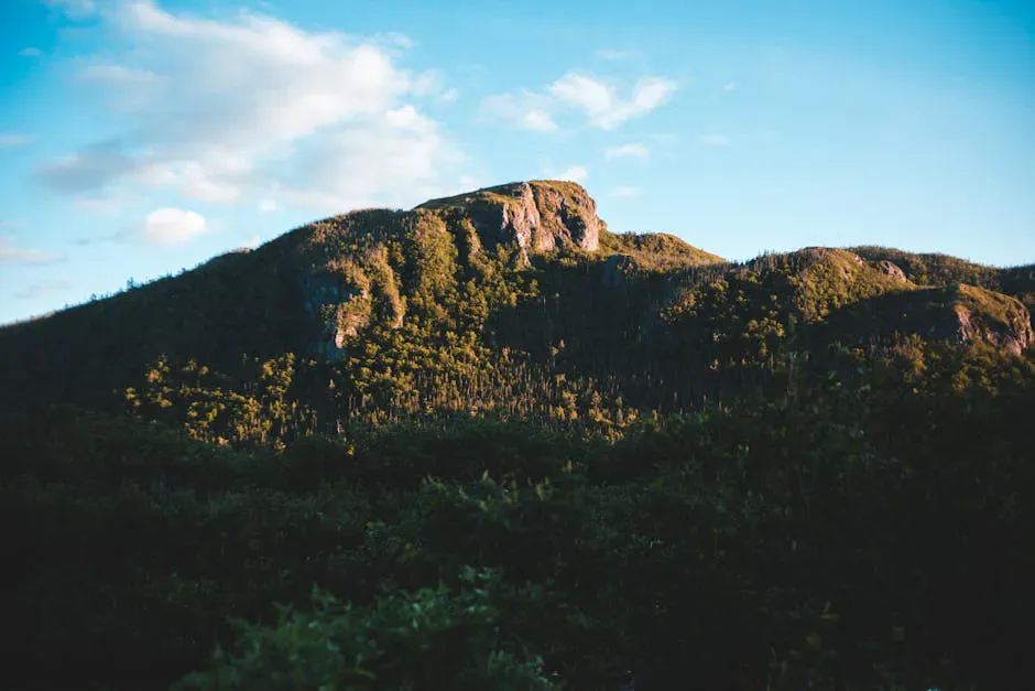
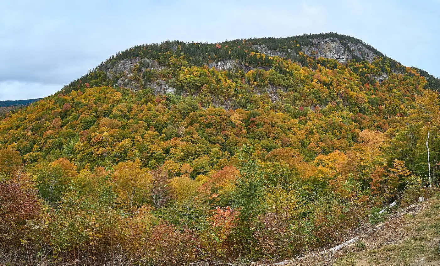
Two of Maine’s finest summits round out the range. Mount Abraham near Kingfield is a long, rewarding 9.3-mile climb to 4,049 feet, holding the second-largest alpine zone in the state on a boulder-strewn summit. Mount Blue in Weld is the region’s iconic perfect cone, a steep 3.2-mile round trip to a restored fire tower at 3,187 feet with views of the Bigelows and Tumbledown. For a bald granite ridge loaded with blueberries, Rumford Whitecap delivers 360-degree views on a 5.3-mile hike across a Mahoosuc Land Trust preserve.
Waterfalls and Swimming Holes
The Rangeley and Bethel areas are thick with falls. Smalls Falls off Route 4 near Rangeley is a colorful 54-foot cascade with natural swimming holes, roadside parking, and picnic tables. Coos Canyon in Byron cuts a dramatic 500-yard gorge through the Swift River, with carved rock, swimming holes, and one of the few spots in Maine where you can pan for gold. Angel Falls near Houghton is a 90-foot plunge set into a 115-foot cliff, reached by a rugged 1.1-mile trail with three stream crossings. Near Bethel, Frenchman’s Hole drops into a deep swimming hole on Bull Branch Stream, and Dunn Falls pairs an 80-foot lower falls with a 70-foot upper falls on a moderate Appalachian Trail loop near Andover.
The Rangeley Lakes and Fishing
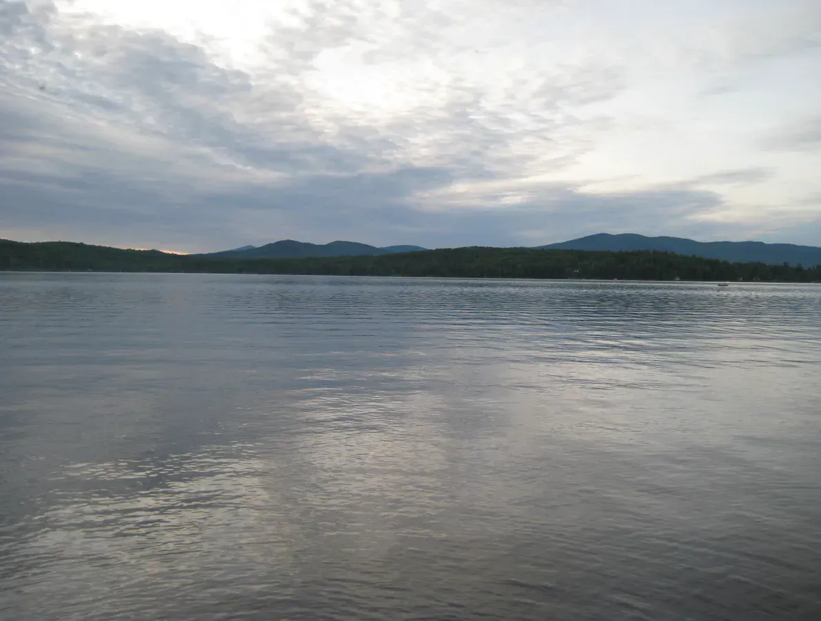
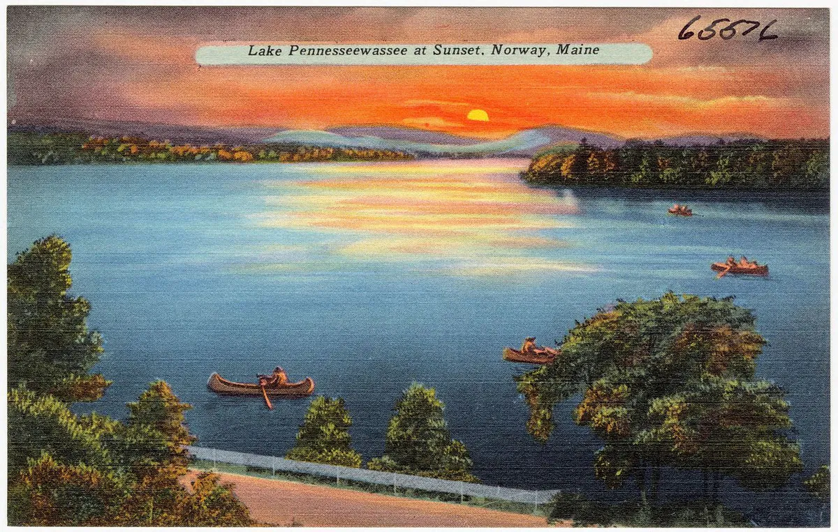
The lakes here draw anglers from across New England. Mooselookmeguntic Lake is the second-largest of the Rangeley Lakes at 16,300 acres and 139 feet deep, with world-class salmon and brook trout and a remote, forested shoreline for big-water paddling. Kennebago Lake is the largest fly-fishing-only lake east of the Mississippi, five miles long in the Rangeley wilderness with native brook trout and traditional sporting camps. For clear water and sandy swimming, Thompson Lake near Oxford ranks in the top 5 percent of Maine’s cleanest lakes, while Kezar Lake in Lovell runs nine miles through the foothills of the White Mountains with a remarkably undeveloped shore.
When to Visit
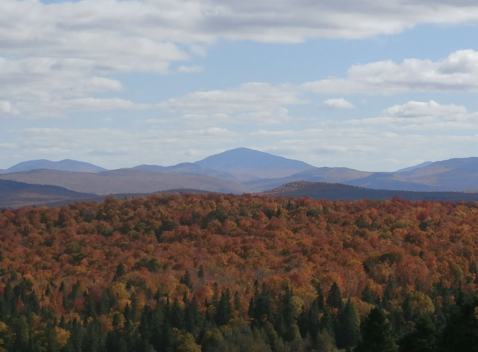
Summer (late June through September) is prime hiking season. The higher peaks can be snowy into late May, and black flies are fierce in June, so July through September is the most comfortable window. Fall foliage peaks in late September to early October in the mountains, earlier than along the coast.
Ski season runs from late November through April at Sugarloaf and Sunday River, with the best natural snow typically falling in January and February. March offers longer days and softer snow.
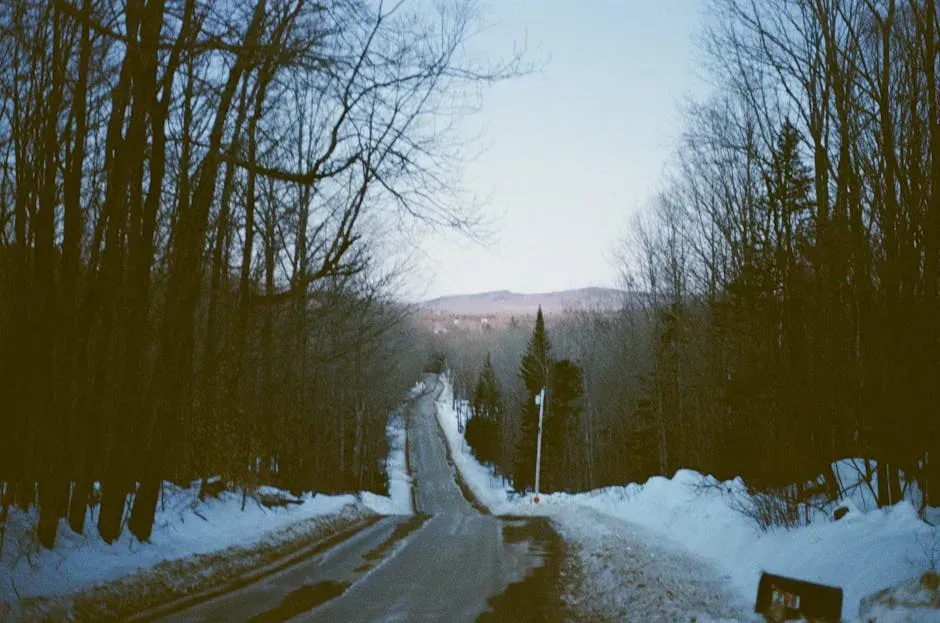
Spring is mud season. Many logging roads and trailheads are impassable from mid-April through mid-May. Plan accordingly and check conditions before heading out.
Spring
Mud season. Most trails are soft and logging roads may be closed. Limited services.
Summer
Prime hiking, paddling, and fishing. July-September is the sweet spot after black fly season fades.
Fall
Foliage peaks late September to early October. Cool temps, fewer bugs, great hiking.
Winter
Ski season at Sugarloaf and Sunday River. Snowshoeing and XC skiing on forest roads.
Getting There
Bethel is about 1.5 hours northwest of Portland via Route 26. Rangeley is roughly 2.5 hours from Portland via Routes 4 and 17. Sugarloaf and Carrabassett Valley are about 2.5 hours north of Portland via Routes 27 and 16. There is no public transit in this region. A car is essential, and in winter, four-wheel drive or snow tires are strongly recommended on the mountain roads.
Tips for Your Visit
Tumbledown Mountain is not a beginner hike despite its moderate distance. The upper sections involve rock scrambling and can be slippery when wet. Start early, bring trekking poles, and leave extra time for the pond.
Cell service is spotty to nonexistent in much of the Western Mountains. Download maps before you leave town, carry a paper backup, and tell someone your plans.
Bug season is real. June through mid-July brings black flies and mosquitoes at higher elevations. Head nets and DEET are not optional during this period.
Rangeley is a great base for exploring the region, with lodging, restaurants, and outfitters. The town sits at the intersection of several excellent day hikes, paddling routes, and scenic drives, making it easy to fill a long weekend without too much driving.
Frequently Asked Questions
What is the best hike in western Maine?
Tumbledown Mountain is the most popular for its alpine pond and open summit ledges. For a longer challenge, Old Speck in Grafton Notch (7.6 miles, 2,700 feet of gain) rewards with an observation tower above the trees. Table Rock in Grafton Notch is a great shorter option with a direct view into the notch.
When is the best time to visit the western mountains?
July through early October. Summer offers the best hiking and paddling conditions once black fly season ends in late June. Fall foliage peaks in late September to early October in the mountains, about two weeks before the coast. Winter is prime ski season at Sugarloaf and Sunday River.
What skiing is available in western Maine?
Sugarloaf has the only lift-served above-treeline skiing in the eastern US, with terrain from beginner to expert. Sunday River in Newry offers reliable snowmaking and varied terrain across eight connected peaks. Saddleback Mountain near Rangeley reopened with dramatic above-treeline runs. Carter's XC Ski Center in Bethel covers cross-country.
Explore the Western Mountains
- Tumbledown Mountain - Alpine pond, open ledges, and rock scrambling near Weld
- Grafton Notch and Old Speck - Waterfalls, Table Rock, and a 4,170-foot summit with observation tower
- Rangeley - Lake town at the center of the region’s best day trips