The Edge of Maine
Boundary Bald Mountain sits just 7.5 miles from the Canadian border, deep in the unorganized townships of northern Somerset County. At 3,638 feet, it is one of the higher peaks in this remote corner of the state, and the craggy summit delivers a 360-degree panorama over an unbroken wilderness that stretches into Quebec. The 8.0-mile round trip from the trailhead on Bald Mountain Road is a true backcountry experience: no crowds, no cell service, and no development visible from the top.
The Trail
From the parking area on Bald Mountain Road, south of Jackman, the trail follows an old skid road into the forest. The first section is relatively flat, crossing a few wet areas and seasonal streams. Be prepared for wet feet early in the season.
After about a mile, the trail begins climbing in earnest through spruce and fir. The grade is moderate and steady, gaining elevation through dense boreal forest. The trail is marked but not heavily maintained; expect blowdowns and rough footing in places.
The upper mountain opens up as the trees thin. The final approach to the summit crosses rocky ground with increasing views. The summit itself is a craggy pile of rock and scrub with open sightlines in every direction.
This is a remote trail with no cell service, no facilities, and limited trail maintenance. Carry a map, compass, and GPS. Tell someone your plans before heading out.
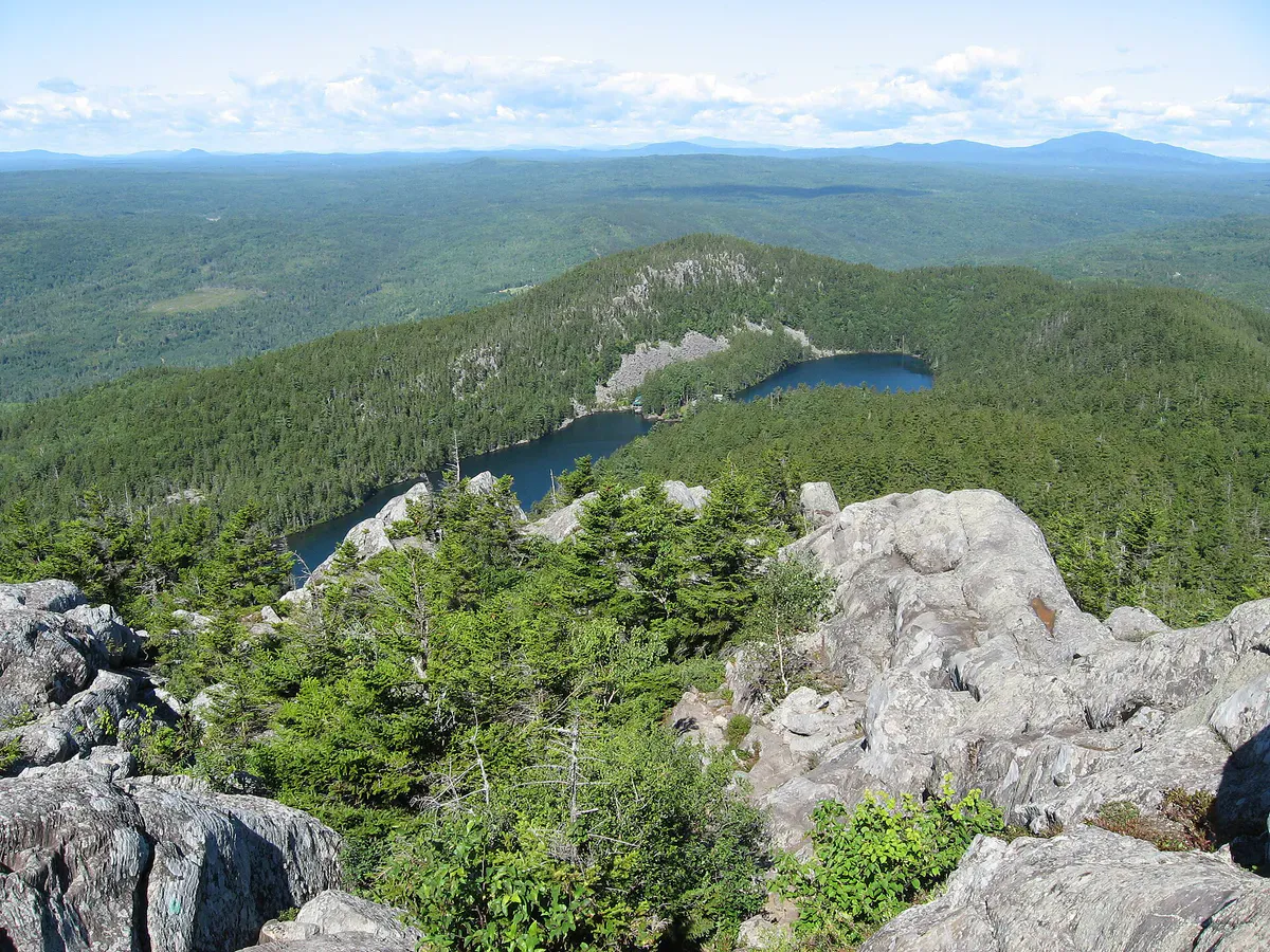
Summit Views
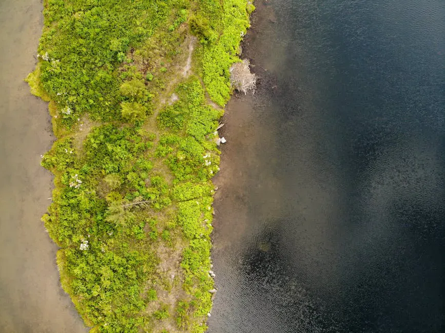
The summit view is all about scale. To the north, the forest extends across the border into Quebec. To the south, the lake country of the upper Moose River region rolls away toward Jackman. On clear days, you can identify the Bigelow Range and Sugarloaf to the southeast. The sense of remoteness is the defining quality of this hike.
When to Go
Spring
Logging roads are typically impassable during mud season. The trail is wet and buggy.
Summer
Best conditions for the access roads and trail. Bring bug spray. Start early.
Fall
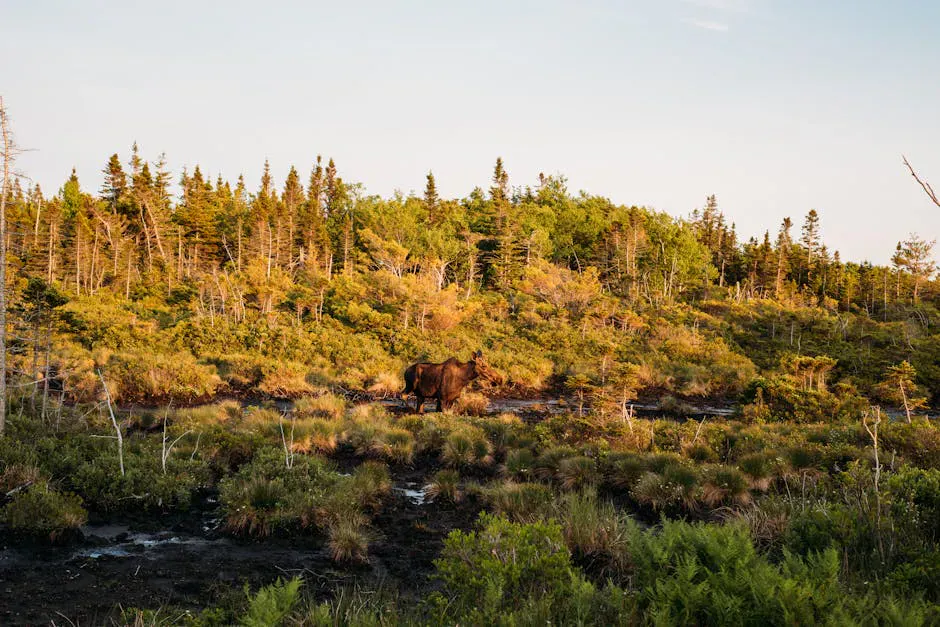
Boreal forest takes on golden and amber tones. Moose are active. Cool, clear days.
Winter
Snowshoeable for experienced winter hikers. Access roads may not be plowed.
Practical Notes
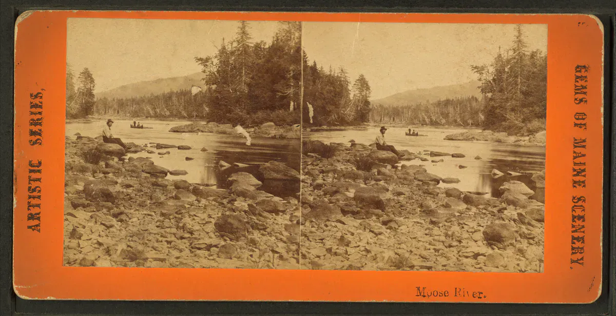
Jackman is a small, friendly town with a few restaurants, a general store, and lodging options. It makes a good base for exploring the surrounding wilderness, including Boundary Bald, Coburn Mountain with its fire-tower summit just south on Route 201, Attean Pond, and the Moose River.
Dogs are allowed. No facilities of any kind at the trailhead. The logging road network in this area can be confusing; study your route on a DeLorme atlas or GPS before driving in.
Packing List
Boundary Bald Mountain
- 3 liters of water per person
- Lunch and snacks
- Sturdy hiking boots
- Bug spray
- Map, compass, and GPS
- Rain jacket
- Warm layer for the summit
- DeLorme atlas for the drive in
Getting There
The trailhead is on Bald Mountain Road, accessed from Route 201 south of Jackman. The road is gravel and can be rough. From Jackman, the drive is about 30 to 40 minutes depending on road conditions. From Bangor, allow about 2 hours 45 minutes total.
FAQ
How long does the Boundary Bald hike take?
Plan for 5 to 7 hours round trip, depending on trail conditions and pace.
Will I see anyone on this trail?
Probably not. Boundary Bald sees very few hikers. It is one of the most solitary summits in Maine.
Is the access road passable for a sedan?
In dry summer conditions, carefully. A high-clearance vehicle is strongly recommended.
Can I see Canada from the summit?
Yes. The Canadian border is about 7.5 miles to the north, and on clear days you can see well into Quebec.