Southern Maine’s Favorite Summit
Mount Agamenticus is a 692-foot monadnock in the town of York, just a few miles inland from the coast. That modest elevation is deceptive. Because Agamenticus rises alone from relatively flat coastal terrain, the views from the summit punch well above its height. On clear days, you can see the Atlantic Ocean, the Isles of Shoals, the White Mountains, and everything in between. For anyone visiting southern Maine who wants to stretch their legs without committing to a full day of hiking, this is the spot.
The mountain sits at the center of a 10,000-acre conservation area, one of the largest remaining areas of intact coastal forest between Acadia and the Pine Barrens of New Jersey. The Mount Agamenticus Conservation Program has protected this land as critical habitat for a surprising diversity of species, including rare turtles, butterflies, and plants at the northern edge of their range. You are hiking through something ecologically significant, even if it feels like a casual walk.
The Trails
Mount Agamenticus has a network of trails totaling over 40 miles, used by hikers, mountain bikers, and trail runners. For the summit, the most popular hiking routes are:
Ring Trail: The classic loop that encircles the summit. About 1.5 miles with roughly 300 feet of elevation gain. Moderate difficulty with some rocky sections. Connects to short spur trails that lead to the top.
Blueberry Bluff / Witch Hazel / Ring Trail Loop: A 1.6-mile route that takes you through blueberry barrens and mixed forest before joining the Ring Trail to the summit. This is the most popular hiking loop and is rated easy.
Summit Road: You can also drive to the summit parking area. This is unusual for Maine mountains and makes Agamenticus accessible to people who cannot hike.
The trails are well-blazed and well-maintained. The footing is a mix of packed dirt, rock, and root. None of the routes involve scrambling or exposure. This is a comfortable hike in trail runners or even sturdy sneakers when conditions are dry.
The Summit
The summit area has a paved parking lot (for those who drive up), an observation platform, informational signs about the conservation area, and a Learning Lodge that hosts educational programs in season. There are also remnants of the old fire tower base and communication towers.
The views from the summit are the real draw:
- East: The Atlantic coastline from York Beach north toward Kennebunk
- Southeast: The Isles of Shoals, about 10 miles offshore
- West and Northwest: The White Mountains, including Mount Washington on clear days
- South: Into New Hampshire’s seacoast region
Bring binoculars. The combination of coastal and mountain views in a single panorama is unusual for a hike this easy.
When to Go
Spring
Wildflowers bloom in May. Trails dry out quickly due to sandy, well-drained soil. Watch for mud in early April.
Summer
Popular with families and tourists. Mornings are less crowded. Blueberries ripen on the barrens in July and August.
Fall
Foliage, clear skies, cooler temps. Peak color mid to late October. Best visibility for White Mountain views.
Winter
Open year-round. The summit road may close but trails remain accessible. Snowshoeing and winter hiking are popular. Parking is free Nov 16 through April 14.
Practical Notes
The blueberry barrens on the northwest side of the mountain ripen in late July and August. The Blueberry Bluff Trail takes you right through them. Picking a few handfuls on the way up is a local tradition, just leave plenty for the wildlife.
Parking at the base trailhead costs $2 per hour via a mobile payment app (scan the barcode at the lot). From November 16 through April 14, parking is free. The summit parking lot, if you drive up, has the same fee structure. Bathrooms are available at the summit area during the warm season.
Dogs are welcome but must be on leash, making Agamenticus one of the top dog-friendly hikes in Maine. The mountain is popular with dog walkers, especially on the lower trail loops.
Cell service is good throughout the hike, which is unusual for Maine mountains.
Packing List
Day Hike
- Water (one bottle is enough for this short hike)
- Sunscreen (summit is exposed)
- Binoculars for coastal and mountain views
- Phone for parking payment app
- Light layer for summit wind
- Bug spray in summer (see our tick and bug protection guide)
Getting There
From Portland, take I-95 south to Exit 7 (York). Follow signs for Route 1 south, then turn right onto Mountain Road. The base trailhead parking is about 3 miles up Mountain Road on the left. The drive takes about 55 minutes.
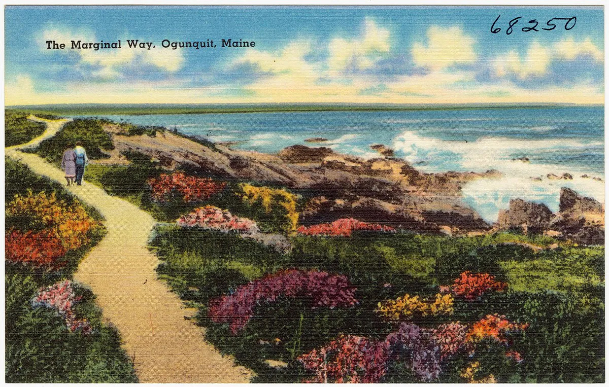
From the York beaches, Mount Agamenticus is about 10 minutes inland. If you are exploring the southern coast, the beach town of Ogunquit is only 15 minutes north and pairs well with a morning hike.
Parking: Paved lot at the base trailhead, additional parking at the summit. $2/hour via mobile app (free in winter). Bathrooms at the summit.
FAQ
Can you drive to the top of Mount Agamenticus?
Yes. A paved road leads to a summit parking area with an observation platform. This makes Agamenticus one of the few mountains in Maine accessible by car, which is great for anyone who cannot hike but still wants the views.
How long does it take to hike Mount Agamenticus?
The most popular hiking loop takes 30 minutes to 1 hour depending on your pace. The summit is less than a mile from the base trailhead. Add time if you want to explore the full trail network.
Is Mount Agamenticus good for kids?
It is one of the best kid-friendly hikes in southern Maine. The trails are short, well-marked, and not too steep. The summit has interpretive signs that keep kids engaged, and the drive-up option provides a backup plan if little legs give out.
Why is Mount Agamenticus important for conservation?
The mountain anchors a 10,000-acre block of intact coastal forest that serves as a critical wildlife corridor and habitat for rare species. Several turtle species, including Blanding's turtles and spotted turtles, depend on the area's vernal pools. The conservation effort has been one of the largest in southern Maine's history.