The Largest Undeveloped Island on the Eastern Seaboard
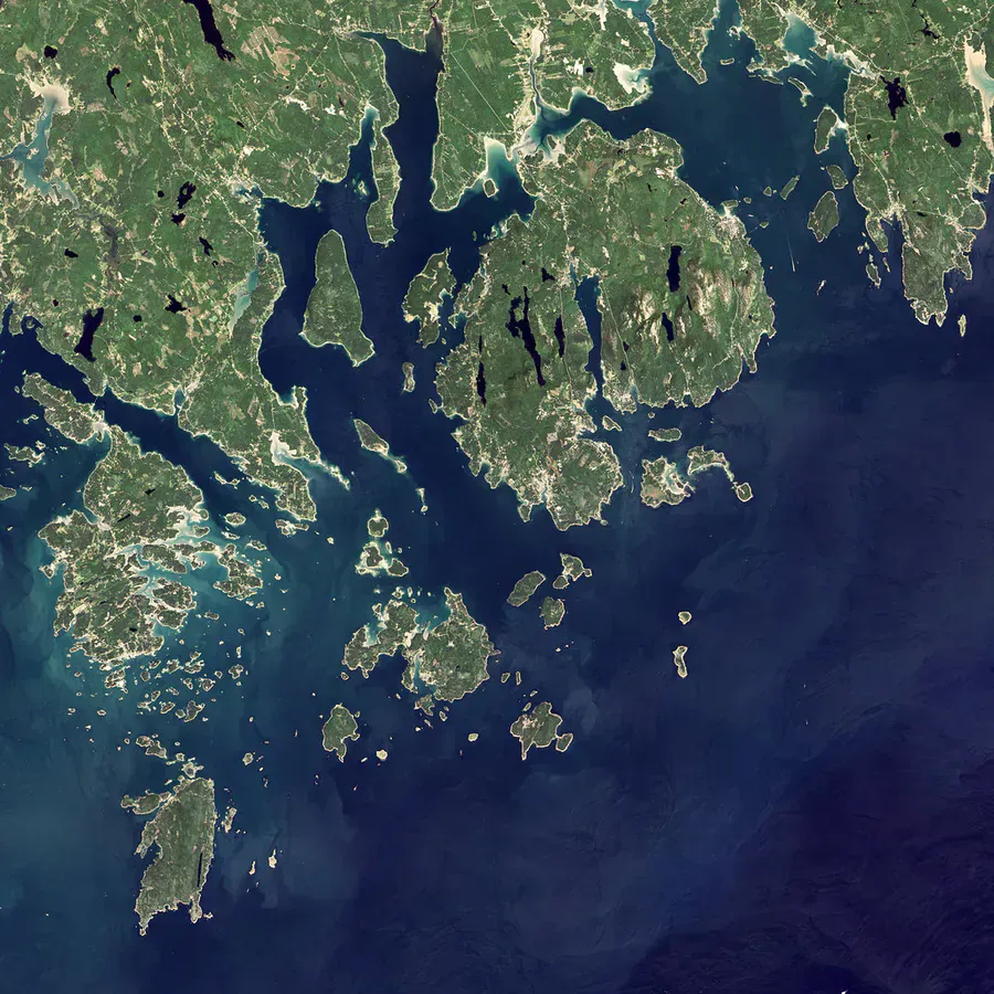
Marshall Island lies south of Swans Island in the waters off Downeast Maine, and at 985 acres it is the largest undeveloped island on the entire eastern seaboard. The Maine Coast Heritage Trust protected the whole island in 2003 as the Ed Woodsum Preserve, drawing on private donors and the state’s Land for Maine’s Future program. There are no houses, no roads, no ferry, and no services. What there is: spruce woods, sand and cobble beaches, granite shore, and more than six miles of quiet hiking trails, with a trail network the Trust describes as totaling about 9.2 miles.
This is a place you reach under your own power or your own boat. For experienced sea kayakers and small-boat owners it is one of the great wild destinations on the coast. For everyone else, it is a reason to hire a local guide or charter.
Getting There by Boat Only
There is no public ferry to Marshall Island. Access is by private boat, sea kayak, or chartered transport. MCHT maintains a dock for easy landing on the northeast side near Ringtown Island, and several beaches allow small-boat and kayak landings. Boaters can find good holding ground and an easy landing beach in the cove near Ringtown Island on the south end, or anchor off Sand Cove or just west of Long Point.
This is exposed, open-water coastal Maine, and the crossing is serious. Tides, current, fog, and cold water make the paddle to Marshall Island a trip for experienced sea kayakers only. Conditions can change fast and there is no quick rescue. If you do not have solid open-water skills and the right boat, hire a local guide or arrange a charter. Check the marine forecast and tides before you launch, and never commit to the crossing in marginal weather.
Packable gear protection
The Trails and Beaches
Once ashore, the island opens up. The trail network loops through dense spruce forest and out to a string of shorelines, including Sand Cove Beach on the south end, Popplestone Cove, and the shores near Ringtown Island and Long Point. The walking is moderate: not steep, but long and remote, over rooty woodland paths and cobble. Give yourself a full day to take in much of the island, and carry everything you need, because there is nothing out here but what you bring.
Sand Cove Beach is the standout, a genuine sand beach on a wild Maine island, and a fine spot for a swim on a warm day.
Camping and Leave No Trace
There are established primitive campsites on the island, including tent platforms in the woods near Sand Cove. Camping is not allowed on the beach itself. MCHT manages these sites with strict Leave No Trace expectations, and the exact rules around reservations, stay limits, and fires are set by the Trust and can change. Confirm the current camping policy directly with the Maine Coast Heritage Trust before you plan an overnight, including whether your chosen site is reservation-based or first-come and what the current fire rules are.
Whatever the policy, the ethic is the same: carry out every scrap of trash, manage human and pet waste responsibly, keep any permitted fire small and below the high-tide line, and leave the island exactly as you found it. A place this wild stays wild only because visitors protect it.
Treat Marshall as a multi-stop trip rather than a single dash. Many paddlers stage out of Swans Island or the Stonington and Deer Isle area and build the crossing into a longer island-hopping route through Merchants Row. Going with people who know these waters, or a guide, turns a risky open-water push into a safe and memorable trip.
When to Visit
Spring
Cold water and unsettled weather make the crossing risky. Black flies and ticks arrive ashore in May.
Summer
The main season for paddling and camping. Warmest water and the best chance of a calm crossing, though fog is always possible.
Fall
Crisp, clear days and fewer bugs, but colder water and shorter daylight raise the stakes on the crossing.
Winter
Cold-water open crossings in winter are dangerous and impractical for nearly everyone.
Packing List
Marshall Island Trip
- Sea kayak or boat with open-water capability (or a guide)
- PFD, marine forecast, and tide tables
- Dry bags for all gear and food
- Tent and warm sleeping bag for the platforms
- All drinking water (there is no potable source)
- Bug spray and a headlamp
- Maps and a way to navigate in fog
- Trash bags to pack out everything, Leave No Trace
Getting There
Marshall Island is reached only by boat, with no public ferry. Sea kayakers and small-boat owners typically launch from Swans Island, which has car-ferry service from Bass Harbor, or from the Stonington and Deer Isle area, and cross south to the island. MCHT’s dock on the northeast side near Ringtown Island and the landing beaches make access manageable for those with the skills and the right craft. There is no vehicle access and nowhere to park on the island.
FAQ
How do you get to Marshall Island?
By private boat, sea kayak, or chartered transport only. There is no public ferry. The open-water crossing is serious and suited to experienced sea kayakers or boaters, or those who hire a guide.
Can you camp on the island?
Yes, at established primitive sites including tent platforms near Sand Cove, not on the beach. Confirm current MCHT rules on reservations, stay limits, and fires before you go, as they can change.
How big is the island and how long are the trails?
Marshall Island is 985 acres, the largest undeveloped island on the eastern seaboard, with more than six miles of trails in a network totaling about 9.2 miles.
Is there water or any services?
No. There is no potable water, no facilities beyond primitive campsites and a privy, and no services. Bring everything and pack everything out.
Is there a fee?
No. Marshall Island is a free Maine Coast Heritage Trust preserve. The cost is in getting there safely by boat.
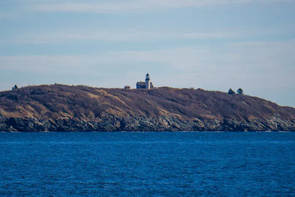
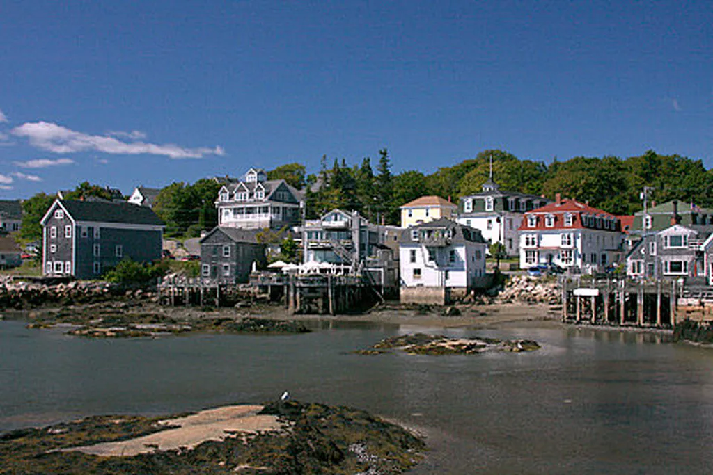
For the gateway island, see Swans Island and the nearby Burnt Coat Harbor Light.