Portland’s River Rediscovered
The Presumpscot River flows from Sebago Lake through Westbrook and into Casco Bay at Falmouth and Portland, tracing a corridor that powered Maine’s industrial revolution and is now being rediscovered as an urban paddling route. Dam removals in 2002 and the ongoing river restoration have transformed stretches that were once inaccessible into paddleable waterway with surprising natural beauty just minutes from downtown Portland.
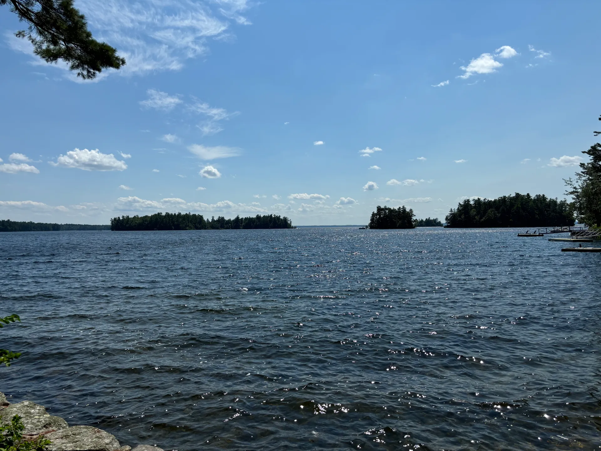
The tidal section below Westbrook offers roughly six miles of calm paddling through a mix of recovering woodland, old mill sites, and quiet neighborhoods. The river here is wide, slow, and influenced by the tides of Casco Bay. It is an easy paddle that works as an after-work outing or a weekend morning trip, and it shows a side of the Portland area that most residents have never seen from the water.
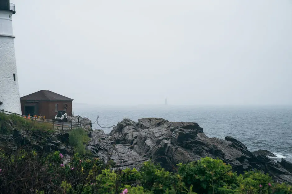
The Presumpscot’s history is visible from your boat. Stone abutments from vanished dams, brick foundations of old paper mills, and the remains of the S.D. Warren dam in Westbrook all tell the story of a river that was heavily industrialized for 200 years and is now in the early stages of a remarkable comeback.
While most dams have been removed, some remnant structures and low-head dams still exist along the Presumpscot. Do not paddle over or near any dam structures. Scout unfamiliar sections from shore. The Saccarappa Falls area in Westbrook has dangerous hydraulics and must be portaged.
Paddling the River
The most accessible section for kayakers runs from the put-in at the Riverton neighborhood in Portland upstream through the tidal estuary. This lower stretch is flat, wide, and easy to navigate, and basic kayaking gear handles it comfortably. The banks are wooded in many places, creating a green corridor that screens out the surrounding development.
For a longer trip, launch at one of the access points in Westbrook below Saccarappa Falls and paddle downstream to the tidal section. This requires passing through the formerly dammed section where the river has been returning to a more natural state since the dam removals. The channel may be braided in spots, and fallen trees occasionally block passage on narrower sections.
The tidal estuary from Riverton to Back Cove is the simplest paddle. The water is calm, the access is straightforward, and you can paddle out to the edge of Casco Bay on a calm day. This section is best within two hours of high tide.
Launch from the Riverton access point about two hours before sunset. Paddle downstream with the outgoing tide toward the bay, watching the light change on the water. Turn around at the bay and let the last of the ebb carry you home. The sunset colors reflecting off the calm water are spectacular, and you will likely have the river to yourself.
History on the Water
The Presumpscot was once called the hardest-working river in Maine. At least seven dams powered mills along its 25-mile run from Sebago Lake to the sea. The S.D. Warren paper mill in Westbrook, which operated from 1854, was one of the largest paper mills in the world.
Paddling the river today, you pass through a landscape in transition. Some mill buildings have been converted to apartments and offices. Others stand as brick ruins slowly being reclaimed by vegetation. The stone foundations of vanished dams create small rapids in spots where the river is reclaiming its natural gradient.
The most dramatic remnant is Saccarappa Falls in downtown Westbrook, where the river drops over a rocky ledge that once powered the first mills on the river. The falls are best viewed from the pedestrian bridge in Westbrook, not from the water.
The stretch of river between the old Smelt Hill Dam site and Presumpscot Falls is where the river restoration is most visible. Trees planted after the 2002 dam removal are now tall enough to form a canopy, and the riverbed has returned to a natural gravel and cobble bottom. Fish that had not been seen in this section for over a century are back. It is a quiet, hopeful stretch of water.
When to Go
Spring
Higher water, alewife and shad runs. River can be fast in the freshwater sections. Good birding.
Summer
Calm water, warm weather, long evenings. Best for casual and family paddling.
Fall
Foliage along the banks, cool mornings, fewer paddlers. Pleasant conditions.
Winter
Cold water and air. Some sections remain ice-free but paddling is not comfortable.
Summer offers the most reliable conditions and longest days for evening paddles. Spring brings fish runs and higher water that can make the freshwater sections more dynamic. Fall foliage along the recovering riverbanks is surprisingly colorful.
Practical Information
Several kayak rental outfitters in the Portland area can set you up with boats. The Riverton launch is the easiest access point and has free street parking nearby. Cell service is good throughout the route.
The Portland Trails network includes the Presumpscot River Trail, a walking and biking path that parallels portions of the river. This makes it easy to scout the river from land before paddling.
Packing List
Presumpscot River Paddle
- Kayak or canoe
- PFD/life jacket for every paddler
- Dry bag for phone and keys
- Sunscreen and hat
- Water and snacks
- Tide chart for tidal sections
- Camera for historic sites
- Water shoes
Getting There
The Riverton access point is in the Riverton neighborhood of Portland, accessible from Riverside Street. From I-295, take Exit 8 (Riverside Street) and follow it west. Access points are near the Riverton Trolley Park area. Free street parking is available.
The Westbrook access is below Saccarappa Falls on Bridge Street in downtown Westbrook, 10 minutes from Portland via Route 302.
GPS coordinates for Riverton access: 43.6870, -70.3520
FAQ
Is the Presumpscot River safe to paddle?
The tidal sections and lower river are safe for paddlers with basic skills. Avoid dam remnants and Saccarappa Falls. Check conditions before your first trip.
Can beginners paddle the Presumpscot?
Yes. The tidal section from Riverton is calm flatwater suitable for beginners. Stay on the tidal portion and avoid the freshwater sections with dam remnants.
How long is the paddle?
The tidal section from Riverton to the bay mouth and back is about 6 miles round trip, taking 2-3 hours. Shorter out-and-back trips work well.
Is the water clean?
Water quality has improved significantly since the dam removals, and the river supports returning fish populations. However, swimming is not recommended in the tidal sections near urban areas.
Can I connect to Casco Bay?
Yes. On calm days, you can paddle from the Presumpscot estuary into Casco Bay. Be aware that conditions change once you leave the sheltered river. Wind, waves, and boat traffic increase.