A Boulder on the Brink
Bubble Rock is a 100-ton boulder of white Lucerne Granite sitting on the edge of a cliff near the summit of South Bubble Mountain in Acadia National Park. It looks like it could roll off at any moment. It has been sitting there for roughly 16,000 years, deposited by the Laurentide Ice Sheet as it melted and retreated northward at the end of the last ice age.
The rock is clearly out of place. South Bubble is made of pink Cadillac Mountain Granite, which formed locally on Mount Desert Island. Bubble Rock is composed of Lucerne Granite, a white variety that formed about 30 miles northwest of Acadia, near the community of Lucerne, Maine. The glacier picked it up, carried it southward, and dropped it here when the ice melted. Geologists call it a glacial erratic, and it is the most famous one in Maine.
Since the late 1800s, visitors have been posing for photos that make it look like they are pushing the boulder off the edge. That tradition continues. On a summer afternoon, you will likely wait your turn for the classic pose.
The Hike
The most common approach to Bubble Rock starts at the Bubble Rock parking lot on Park Loop Road, between Jordan Pond and Eagle Lake. The trail climbs about 450 feet over roughly 0.9 miles to the summit of South Bubble. The footing is a mix of forest floor, exposed roots, and granite ledge. The upper section steepens and involves some scrambling over rock, but nothing requiring hands-and-knees climbing.
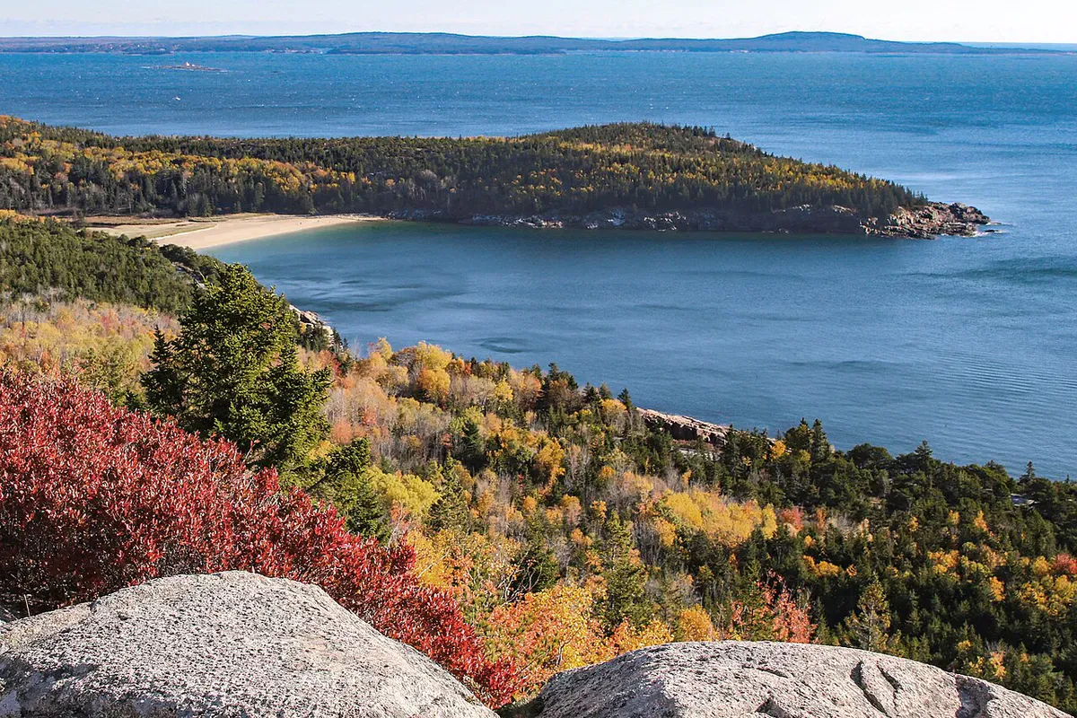
From the South Bubble summit, a short spur trail marked with blue blazes leads to Bubble Rock itself, perched on the eastern cliff face. The viewpoint overlooks Jordan Pond directly below, with the long ridgeline of Penobscot Mountain across the water and Pemetic Mountain beyond that. On clear days the views extend to the ocean.
The round trip from the parking lot takes most people about 1.5 to 2 hours, including time at the rock and summit. If you want a longer hike, continue from South Bubble to North Bubble (766 feet) and loop back via the Jordan Pond Path for a 3 to 4 mile circuit.
The Geology
What makes Bubble Rock valuable beyond the photo opportunity is the story it tells about glaciation. During the last ice age, a sheet of ice more than a mile thick covered all of Mount Desert Island. As the glacier advanced, it scraped up boulders and bedrock, carrying them embedded in the ice. When the ice melted, those transported rocks were deposited wherever the glacier happened to drop them.
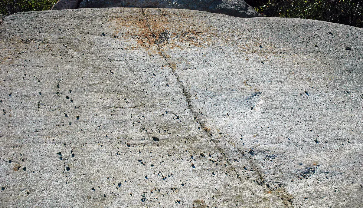
The sharp edges of Bubble Rock were worn smooth during transport, giving it the rounded shape you see today. The difference in rock type between the boulder and the bedrock it sits on is the clearest proof of glacial transport. You can see the color difference immediately: white boulder on pink ledge.
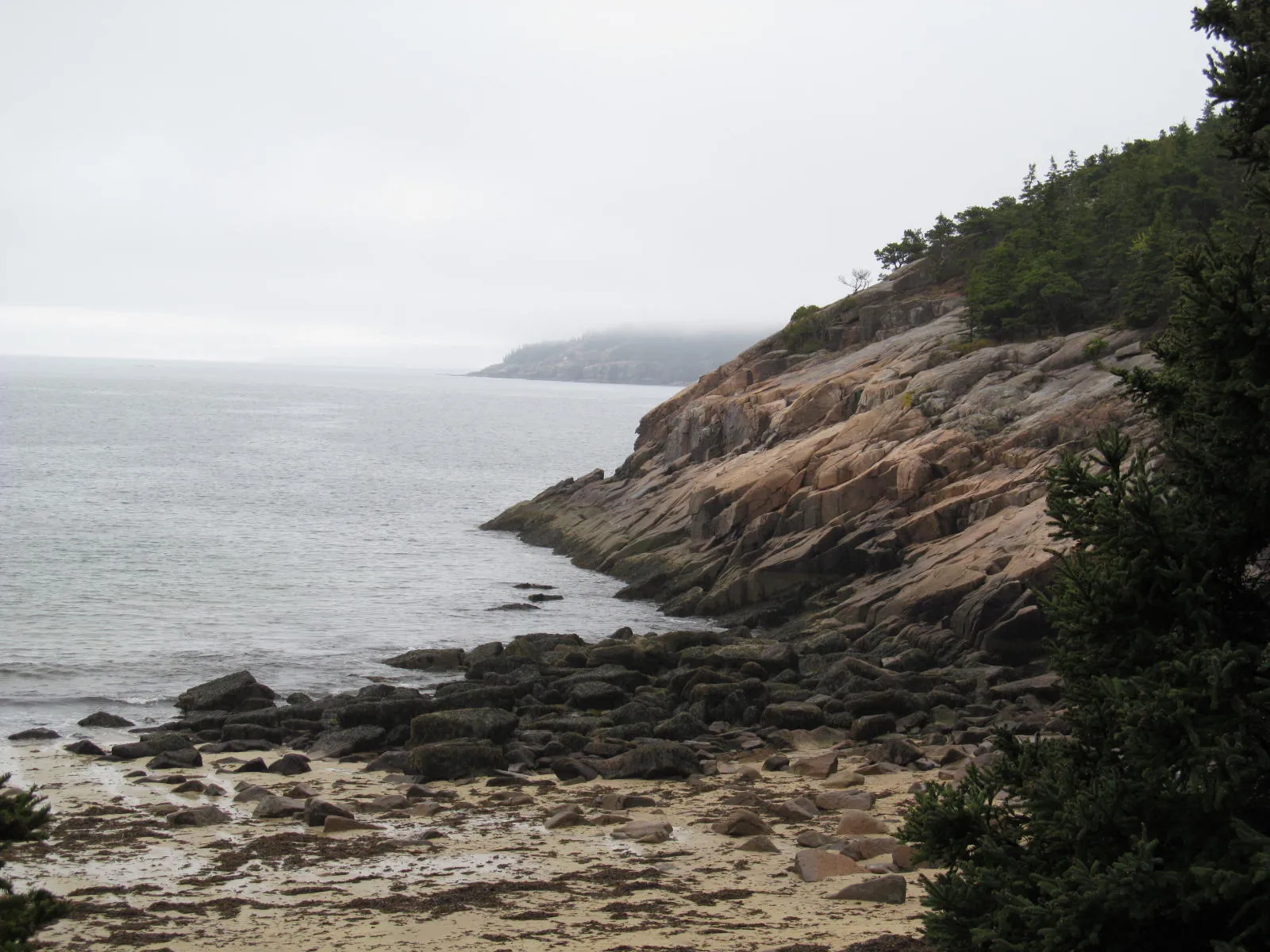
The Bubbles themselves, North and South, were shaped by the glacier too. Their rounded profiles come from ice flowing over and around them, grinding the tops smooth. The steep eastern faces were plucked apart by the glacier as it moved past, creating the cliffs that Bubble Rock now sits on.
When to Go
Summer
Warm weather, dry trail conditions. The Bubble Rock parking lot fills by 9am on weekends. Use the Island Explorer shuttle or arrive early.
Fall
Cooler temperatures, fewer crowds, and foliage color on the surrounding peaks. Clear fall air sharpens the views from the summit.
Winter
Accessible with traction devices. Snow and ice on the upper ledges require caution. Fewer visitors and stark winter views.
Spring
Mud season through May. Trail can be wet and slippery. Wildflowers appear in late spring.
Getting There
From Bar Harbor, follow signs to Park Loop Road. The Bubble Rock trailhead parking lot is on the west side of Park Loop Road, between the Jordan Pond House and Eagle Lake. It is about a 15-minute drive from downtown Bar Harbor. Look for the small lot on the left (if driving the one-way section of the loop road southbound).
GPS coordinates for the trailhead: 44.3410, -68.2505
FAQ
How big is Bubble Rock?
Bubble Rock weighs approximately 100 tons and is composed of Lucerne Granite. It was transported about 30 miles by glacial ice from near Lucerne, Maine, and deposited on South Bubble around 16,000 years ago.
How hard is the hike to Bubble Rock?
The trail is about 0.9 miles each way with 450 feet of elevation gain. It is rated moderate. The upper section involves some scrambling on granite ledge but does not require any technical climbing.
Can I bring my dog to Bubble Rock?
Yes, dogs are allowed on the South Bubble trail on a leash no longer than 6 feet. Be cautious near the cliff edge at the summit.
Will Bubble Rock fall?
Despite appearances, Bubble Rock has been stable for roughly 16,000 years. It is not going to fall. The dramatic perch is part of what makes it such a popular photo spot.
Is there a fee to hike to Bubble Rock?
You need an Acadia National Park entrance pass. The 7-day vehicle pass is $35. Walk-in, bike, or shuttle visitors pay $20 per person. The America the Beautiful annual pass ($80) also works.