Maine’s First River Light
Fort Point Light was built in 1836 to guide the growing traffic of lumber schooners, cargo vessels, and passenger steamers navigating the upper reaches of Penobscot Bay and the Penobscot River. It was the first river lighthouse in Maine, positioned on a strategic point of land where the bay narrows and the river begins. The light marked a turning point in navigation where captains needed guidance to avoid the shoals and ledges that line the channel.
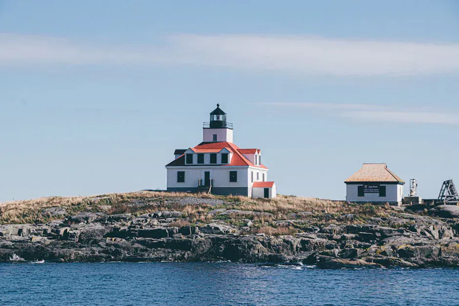
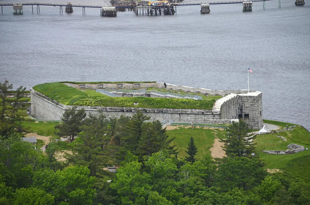
The original 1836 tower served for two decades before being replaced in 1857 with the current structure, a 26-foot square brick tower with an unusual architectural quirk: the exterior is square, but the interior lining is round, fitted with a circular iron spiral staircase. The story goes that builders had a surplus spiral staircase available from another project, so they designed the tower square on the outside but round on the inside to accommodate it. The result is one of the most distinctive lighthouse towers on the Maine coast.
The light sits 88 feet above sea level thanks to the elevation of the point, and its fourth-order Fresnel lens casts a fixed white beam across the bay. The keeper’s house, a handsome white clapboard building, sits beside the tower at the tip of the peninsula.
What to See
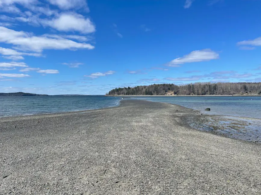
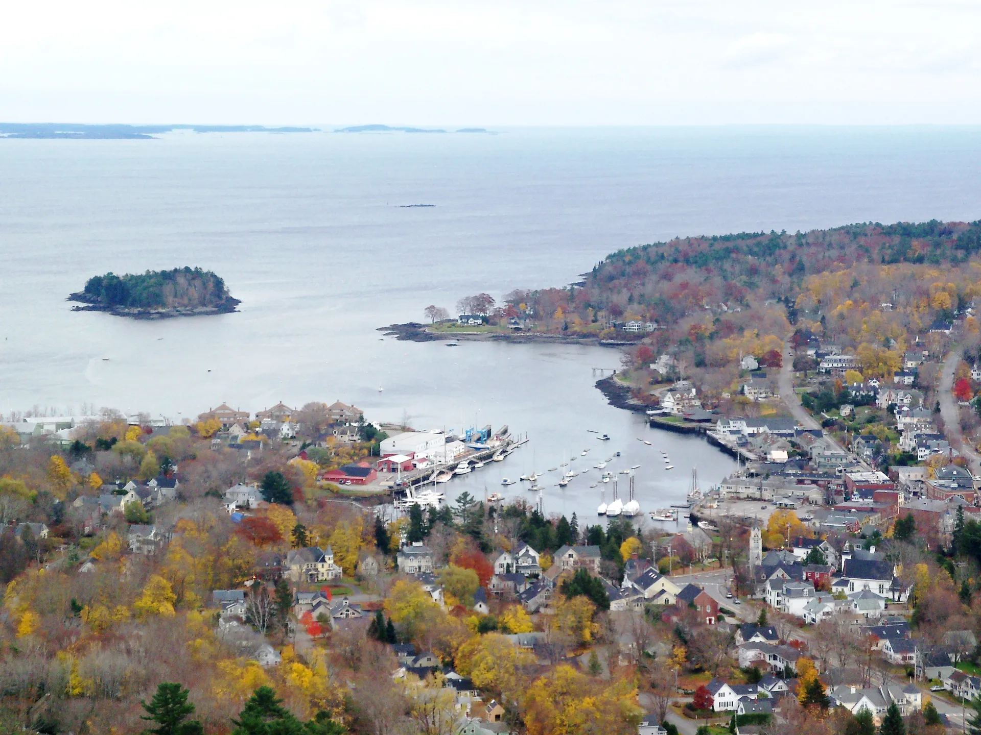
Fort Point Light stands within the 120-acre Fort Point State Park, which occupies the tip of a wooded peninsula jutting into Penobscot Bay. The lighthouse, the keeper’s house, and a bell tower are clustered at the point, with sweeping views of the bay, the Penobscot Narrows Bridge, and the Penobscot River stretching north toward Bangor.
The tower is one of the few in Maine where visitors can enter and see the lantern room. Access policies have varied over the years, so check with the park staff or call ahead at (207) 941-4014 to confirm whether the tower is open during your visit. Even from the base, the square exterior and the weathered brickwork make it an interesting study in lighthouse architecture.
The grounds immediately around the lighthouse are well maintained, with paths along the rocky shore and views in nearly every direction. Looking south, you can see down Penobscot Bay toward the Camden Hills. Looking north, the Penobscot Narrows Bridge and its observatory tower rise dramatically above the river.
Beyond the lighthouse, the park holds the earthwork remains of Fort Pownall, built by the British in 1759 during the French and Indian War. The fort was the northernmost English outpost on the Penobscot at the time and played a role in colonial frontier defense before being burned in 1775 to keep it from British hands during the Revolution. Interpretive signs explain the history. The earthworks are subtle but atmospheric, set among old-growth pines on the bluff above the water.
A network of short trails connects the lighthouse, the fort ruins, and the picnic area. The trails are flat and easy, winding through spruce and pine forest with occasional views of the bay. The total walking on the peninsula is about a half mile.
When to Go
Summer
Best season with warm weather, the park fully staffed, and the longest days. The bay is active with sailboats and lobster boats. Picnic tables near the lighthouse are ideal for a seaside lunch.
Fall
Fall foliage along the Penobscot River and bay is beautiful from the lighthouse point. Fewer visitors and clear skies. Park is open through October 15.
Winter
The park gate is closed but visitors can walk in from the road during daylight hours. The lighthouse is particularly striking against a winter sky or after a snowfall.
Spring
Park reopens May 15. Quiet and green, with migrating birds passing through the peninsula. Cool and sometimes foggy.
History and Context
The area around Fort Point has been strategically important for centuries. The Penobscot people used the peninsula long before Europeans arrived. The British built Fort Pownall here in 1759, recognizing the point’s command of the river approach. During the Revolution, patriots burned the fort rather than let the British reoccupy it.
The lighthouse came in 1836, when the Penobscot River was one of Maine’s busiest waterways. Bangor, upriver, was the lumber capital of the world in the mid-1800s, and ships loaded with timber passed Fort Point daily. The light guided them through the tricky transition from open bay to river channel.
By the twentieth century, river traffic declined, but the light remained important for fishing vessels, pleasure boats, and the occasional cargo ship. The Coast Guard automated the light in 1988 and transferred the property to the State of Maine, which incorporated it into the state park system.
Photography Tips
The lighthouse photographs well from several angles. The classic view is from the south, looking up at the tower with the bay behind it. The square shape of the tower is distinctive and stands out from the round towers that dominate the Maine coast. The bell tower, a separate structure near the lighthouse, adds interest to wider compositions.
For sunset shots, position yourself on the western shore of the peninsula. The light falls across the keeper’s house and tower as the sun drops behind the hills to the west. In fall, the foliage along the shoreline adds warm color to the scene.
Getting There
From Route 1 in Stockton Springs, turn east onto West Main Street (look for the state park sign). Follow West Main Street for 0.6 miles, then turn onto Camp Jellison Road and continue for 2.4 miles to the park entrance. Follow the park road to the parking area near the lighthouse. From Bangor, the drive takes about 40 minutes. From Belfast, it is about 15 minutes. From Portland, plan on roughly 2.5 hours via I-95 and Route 1.
The park charges a day-use fee of $4 for non-residents and $3 for Maine residents from Memorial Day through October 15. During the off-season, visitors can park outside the gate and walk into the park during daylight hours at no charge.
FAQ
Can you climb Fort Point Light?
Access to the tower interior has varied over the years. Check with park staff or call (207) 941-4014 before your visit to confirm whether the tower is open. The grounds around the lighthouse are always accessible during park hours.
Is Fort Point Light free to visit?
There is a state park day-use fee of $4 for non-residents and $3 for Maine residents from Memorial Day through October 15. Off-season walk-in access is free.
What else is at Fort Point State Park?
The park includes the ruins of Fort Pownall (1759), walking trails through spruce and pine forest, picnic tables with grills, restrooms, and views of Penobscot Bay and the Penobscot Narrows Bridge.
Are dogs allowed at Fort Point State Park?
Yes, dogs are allowed on leash throughout the park and on the trails.
How far is Fort Point Light from Belfast?
About 15 minutes north via Route 1. It is roughly 10 miles north of Belfast along the western shore of Penobscot Bay.