Two Waterfalls, One Notch
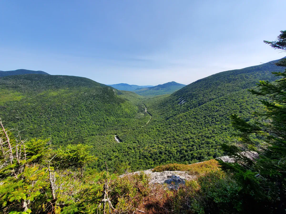
Dunn Falls is not one waterfall but two. The West Branch of the Ellis River drops through a narrow notch in the mountains near Andover North Surplus, creating a lower falls that plunges about 80 feet and an upper falls that drops roughly 70 feet. Between them, the river runs through a tight canyon with cascading pools, old-growth hemlock, and some of the most dramatic scenery in western Maine.
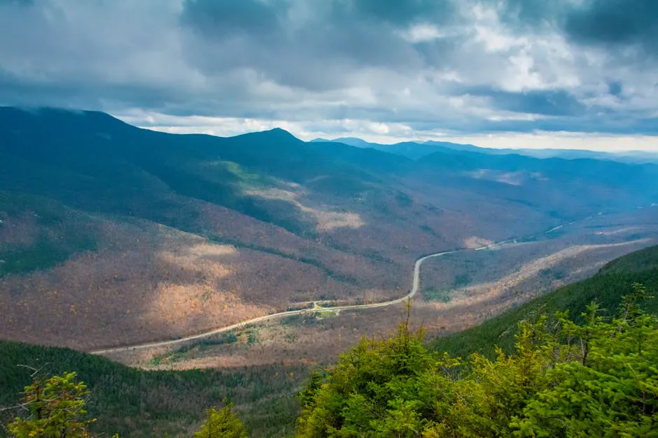
The falls sit along the Appalachian Trail in Oxford County, and the standard loop hike covers about 2.5 miles with roughly 419 feet of elevation gain. It is a moderate hike with roots, rocks, and a river ford, the kind of rugged footing where supportive hiking boots earn their keep, but nothing that will stop a reasonably fit hiker. The reward is two full-sized waterfalls in a setting that feels completely wild, even though the trailhead is only about 6 miles from the center of Andover.
Getting to Dunn Falls requires some effort to find. The trailhead is on East B Hill Road, a rural road that connects Andover with the New Hampshire border toward Upton. The parking area is a small dirt pulloff with room for maybe a dozen cars. There may be a small Appalachian Trail sign, but it is easy to miss.
The loop trail to Dunn Falls requires fording the West Branch of the Ellis River. In summer, the ford is typically ankle to knee-deep. After rain or during spring runoff, it can be deeper and faster. Wear water shoes for the crossing and use trekking poles if you have them. The riverbed is rocky and uneven.
The Hike
The most common route is a loop using the Appalachian Trail and the Cascade Trail. From the parking area on East B Hill Road, you can go in either direction. Most people start on the Cascade Trail (heading left at the junction), which follows blue blazes for about half a mile to the river ford, passing Dunn Notch Cascades along the way.
Dunn Notch Cascades are a series of smaller falls that drop about 40 feet in total across several steps. They are a worthy appetizer for the main event and are worth pausing at. The trail runs close enough that you can see them clearly from the path.
After the Cascade Trail, you reach the river ford. In summer conditions, the water is typically shin to knee-deep. The bottom is rocky, so water shoes or sandals make the crossing much more comfortable. After the ford, the trail climbs to Lower Dunn Falls.
Starting on the Cascade Trail and going counterclockwise means you hit Lower Dunn Falls first, then Upper Dunn Falls, then loop back via the Appalachian Trail. This sequence builds from smaller cascades to the big payoff. Going clockwise works too, but the counterclockwise direction provides a better progression through the hike.
Lower Dunn Falls
The lower falls are the showstopper. The West Branch of the Ellis River drops roughly 80 feet in a powerful plunge into a deep pool at the base of the notch. The walls of the notch rise steeply on either side, covered in moss, ferns, and hemlock. The pool at the base is deep enough for swimming in summer, though the water is cold and the approach requires scrambling over wet rocks.
The falls face a narrow opening in the notch, which means direct sunlight only reaches the base for a few hours in the middle of the day. The rest of the time, the falls are in dappled shade, which creates a moody, atmospheric quality. Photographers tend to prefer the shade for shooting waterfalls anyway, as it eliminates harsh contrast between the white water and dark rock.
Upper Dunn Falls
From the lower falls, the trail continues upstream about a quarter mile to the upper falls. This section of trail is rough, with steep spots and exposed roots. The upper falls drop about 70 feet in a fan shape, spreading wider as the water descends over the rock face. The character is different from the lower falls. Where the lower falls are a concentrated vertical plunge, the upper falls spread out across the rock in a horsetail pattern.
Between the two falls, the river runs through pools and smaller cascades that are excellent for swimming. The water is calmer here than at the base of either waterfall, and the pools are deep enough to submerge in. On a warm day, this stretch between the falls is one of the best swimming spots on any Maine waterfall hike.
When to Go
Spring
Powerful water flow. River ford may be difficult or dangerous. Black flies in June.
Summer
Comfortable ford, warm enough for swimming, lush forest. July and August are ideal.
Fall
Foliage in the notch is spectacular. Lower water but still impressive. September and early October.
Winter
Access road not maintained. Trail conditions are dangerous with ice near the falls.
Summer and early fall are the best times for most visitors. July and August offer the warmest water temperatures (still cold, but swimmable) and the easiest river ford. The forest canopy is fully leafed out, creating a green tunnel effect on the trail.
Fall foliage in the notch is exceptional. The hardwoods on the canyon walls turn vivid orange and gold, contrasting with the dark hemlock and white water. Late September through early October is peak color in this part of Maine.
Spring brings the most dramatic water flow but the trickiest conditions. The river ford may be waist-deep and dangerous during snowmelt. Black flies are brutal in June. By late June, conditions typically settle.
Practical Notes
The trailhead on East B Hill Road is about 6 miles from Andover center. From Andover, turn onto Upton Road, which becomes East B Hill Road in about 2 miles. The trailhead parking is about 6 miles down the road. The road is paved but narrow, with no services along the way. Fill your gas tank in Andover or Bethel before heading out. There is no cell service at the trailhead or along the trail.
The parking area is a small dirt lot with no amenities. No restrooms, no trash cans. Pack out everything in a comfortable daypack that can carry water, a swimsuit, and dry shoes for after the ford. The trail is maintained by the Maine Appalachian Trail Club (MATC).
Dogs are allowed and most dogs handle the trail well. The river ford is the main concern for smaller dogs. Keep dogs leashed near the cliff edges at both waterfalls.
Packing List
Dunn Falls Hike
- Hiking boots with ankle support (rocky, rooty trail)
- Water shoes for the river ford
- Trekking poles (helpful for the ford and rough sections)
- Camera (both falls are worth photographing)
- Water and snacks for a 1.5 to 2 hour hike
- Swimsuit and towel if you plan to swim
- Bug spray (June and July especially)
- Downloaded trail map (no cell service)
Getting There
From Andover, take Upton Road (which becomes East B Hill Road) east for approximately 6 miles. The small dirt parking area is on the right side of the road where the Appalachian Trail crosses. Look for a dirt pulloff with a few cars and a small AT sign.
From Bethel, take Route 2 west to Route 5 north to Andover, then follow East B Hill Road. From Rumford, take Route 2 west to Andover. The total drive from Portland is about 2 hours and 45 minutes. From Bangor, about 3 hours.
GPS coordinates for the trailhead: 44.6647, -70.8962
FAQ
How tall are the Dunn Falls?
There are two waterfalls. Lower Dunn Falls drops approximately 80 feet in a single plunge. Upper Dunn Falls drops roughly 70 feet in a horsetail fan shape. The total combined height of the two falls is about 150 feet.
Can you swim at Dunn Falls?
Yes, swimming is possible in the pools at the base of Lower Dunn Falls and in the pools between the two waterfalls. The water is cold year-round. The pools between the falls are the best and safest swimming spots. Enter gradually and check depth.
Is the Dunn Falls hike hard?
The 2.5-mile loop is rated moderate. The terrain includes roots, rocks, and a river ford. The elevation gain is about 419 feet. Most reasonably fit hikers complete the loop in 1.5 to 2 hours, including time at both waterfalls.
Do I need to cross a river to reach Dunn Falls?
Yes, the loop trail requires fording the West Branch of the Ellis River. In summer, the ford is typically shin to knee-deep. After rain or during snowmelt, it can be deeper. Water shoes and trekking poles are recommended.
Is Dunn Falls on the Appalachian Trail?
Yes, Dunn Falls sits just off the Appalachian Trail in Andover North Surplus. The AT passes through this section, and the falls loop uses a portion of the AT combined with the blue-blazed Cascade Trail.