Waterfalls, Gorges, and No Campground
Grafton Notch State Park covers 3,129 acres of dramatic terrain along Route 26 between Newry and Upton. The park has slot gorges, waterfalls you can walk to in under a minute, and trail access to Old Speck Mountain, the third tallest peak in Maine. What it does not have is a campground.
That catches people off guard. The park is a day-use area only. But there are solid camping options nearby, from a small private campground practically at the park entrance to backcountry sites along the Grafton Loop Trail and Appalachian Trail that put you deep in the mountains.
The Grafton Notch State Park entrance station accepts cash only. There is no ATM at the park or anywhere on Route 26 between Newry and Upton. Get cash in Bethel before you drive up.
Where to Camp: Grafton Notch Campground
The primary option is Grafton Notch Campground, a small private operation with 15 wooded sites on Bear River just south of the state park entrance. Sites run $28 per night. Call (207) 824-2292 to reserve.
Only Site 1 has an electric hookup. The rest are basic tent and small-RV sites with fire rings and picnic tables. There are bathrooms with showers on site. No generators are allowed anywhere in the campground, which keeps things quiet.
The sites sit under a canopy of mixed hardwoods and conifers along the river. You can hear the water from most spots. The campground is small enough that it fills on summer weekends and peak foliage weekends, so call ahead rather than showing up and hoping.
The first two weeks of October are the peak window for fall color in Grafton Notch. The campground books solid for those weekends by late August. If you want a fall foliage trip, reserve in summer.
Alternative: Stony Brook Recreation
If Grafton Notch Campground is full, Stony Brook Recreation in Hanover has about 50 sites with more amenities, including a swimming pool and playground. It is farther from the park (about 25 minutes south) but offers year-round camping and works well for families who want a more developed campground as a base.
Backcountry Camping: Grafton Loop Trail
The Grafton Loop Trail is a 38-mile loop that circles through the mountains surrounding the notch. Seven primitive campsites are spaced along the trail, each with a fire ring and space for a few tents. No water, no toilets, no fees, no reservations. First come, first served.
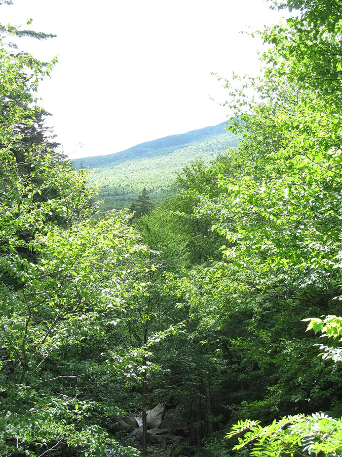
The trail is rugged. Expect steep climbs, exposed ridgelines, and stream crossings that can be tricky after rain. Most people do it as a 3 to 4 day backpacking trip. The campsites at higher elevations have outstanding views of the Mahoosuc Range, but they are exposed to weather and wind.
Backcountry Camping: Appalachian Trail
The AT runs through the park and over Old Speck Mountain. Several lean-to shelters are within a day’s hike:
- Carlo Col Shelter - On the AT between Goose Eye and Mount Carlo, about 4.5 miles from the Route 26 trailhead
- Full Goose Shelter - Between Goose Eye Mountain and Old Speck, exposed terrain nearby
- Speck Pond Shelter - At Speck Pond, the highest tarn in Maine (3,430 feet). The shelter has a caretaker and a $15/night fee in summer.
- Baldpate Lean-to - South of Old Speck, on the AT toward Andover
- Frye Notch Lean-to - Farther south on the AT, quieter and less trafficked
Speck Pond is the most popular and fills on summer weekends. The pond itself is worth the hike even if you are not staying overnight.
There is no cell service anywhere in Grafton Notch or the surrounding backcountry. Not on the summits, not in the valley, not on Route 26. If you are doing the Grafton Loop or AT, bring a satellite communicator. This is not optional for solo hikers.
Park Highlights: Waterfalls and Gorges
Even if you are just camping nearby and doing day trips into the park, the waterfalls and gorges are the main draw.
Screw Auger Falls is a 23-foot waterfall that has carved a narrow gorge through the bedrock. It is a 0.1-mile walk from the parking area on a paved path. This is the most visited spot in the park and for good reason. The geology is striking.
Mother Walker Falls is a 40-foot gorge with sheer rock walls. A short trail leads to viewing platforms above the gorge. Less crowded than Screw Auger and equally impressive.
Moose Cave is a narrow slot gorge with moss-covered walls. The trail is short but can be slippery. Worth the quick detour.
Step Falls Preserve is technically outside the park (managed by The Nature Conservancy) but it is the swimming spot of the area. A series of cascades flow over smooth granite into cold, clear pools. Some of the upper pools have natural rock slides. This is where locals go on hot summer days.
Step Falls parking is a small pulloff on Route 26 and it fills by 10 AM on summer weekends. Get there early or go on a weekday. The lower pools are the most accessible, but the upper falls are bigger and less crowded. Follow the trail along the left side of the stream to reach them.
Major Hikes
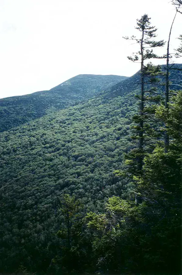
Old Speck Mountain (4,170 feet) is Maine’s third tallest peak. The AT route from Route 26 is about 7.6 miles round trip with 2,700 feet of elevation gain. An observation tower at the summit gives views across the Mahoosuc Range and into New Hampshire. The upper section is steep and rocky. Plan 5 to 7 hours for the round trip.
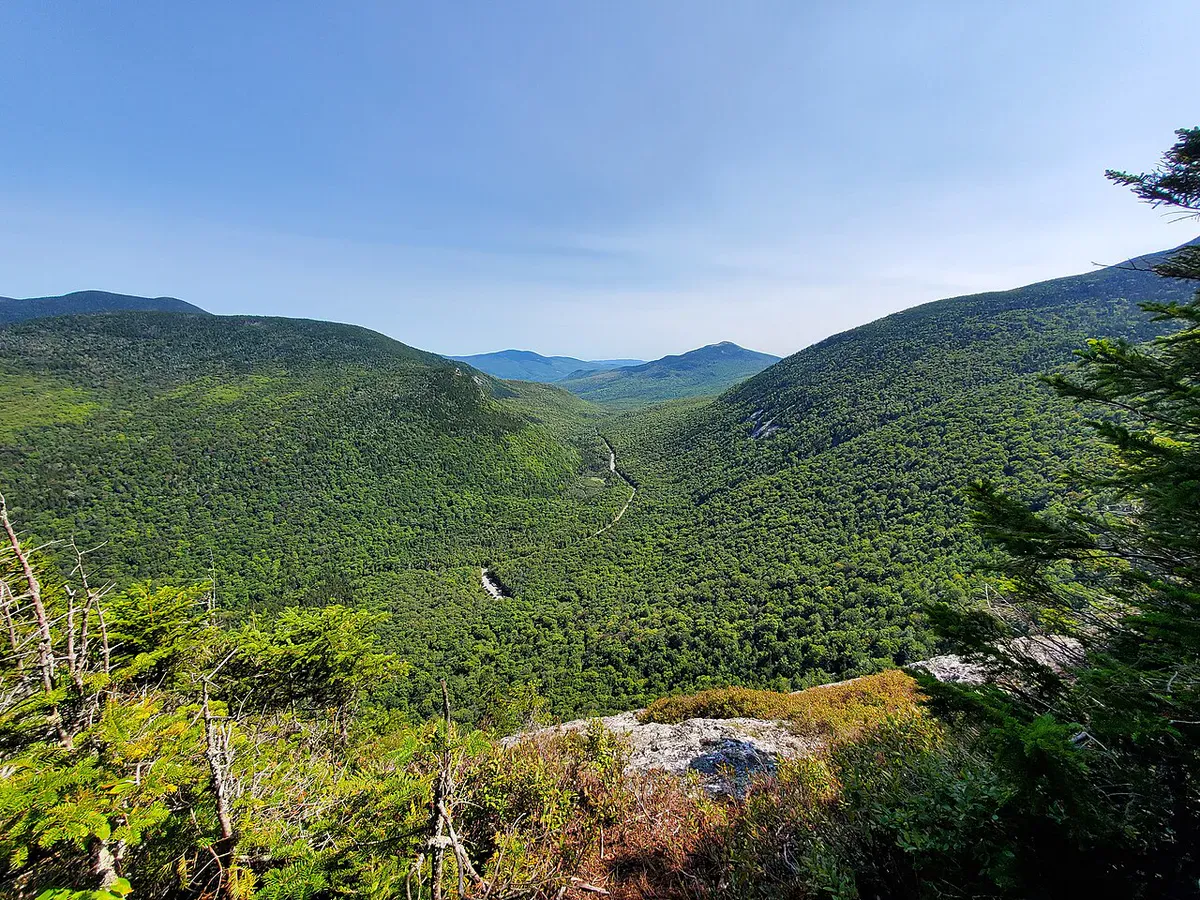
Table Rock (2.4 miles round trip) is the most popular day hike in the park. The trail climbs steeply through forest to a massive slab of rock jutting out over the notch. The views straight down into the valley are vertigo-inducing. The trail has some scrambling sections but nothing technical.
Eyebrow Loop follows the rim of a cliff above Screw Auger Falls. The trail includes ladder sections bolted into the rock face. It is short (about 1 mile) but intense, with real exposure in a few spots. Not recommended in wet conditions or for anyone uncomfortable with heights.
You can link Table Rock and the Eyebrow Loop into a single hike of about 4 miles. Start at the AT trailhead on Route 26, go up to Table Rock, continue on the AT, then loop back via the Eyebrow Trail. It covers the two best viewpoints in the park in one outing.
Wildlife and Moose
Route 26 through Grafton Notch is prime moose country. Dawn and dusk are the best times for sightings, especially in June when moose come to roadsides for mineral licks. Drive slowly. A moose collision at highway speed is a serious accident.
The Bear River corridor through the campground area also sees regular moose activity. Keep your distance. A cow moose with a calf is more dangerous than a black bear.
When to Go
Spring
Mud season. Trails are closed or dangerously slippery through mid-May. Blackflies arrive late May.
Summer
Full access to all trails and waterfalls. Step Falls swimming. Blackflies clear by late June.
Fall
Peak foliage first two weeks of October. Clear views, cool hiking temps, no bugs.
Winter
Route 26 through the notch closes for winter. No access to park or campgrounds.
The blackfly window from late May through mid-June is genuinely rough in this valley. If you can, wait until late June for summer camping. July and August are the sweet spot for combining camping, hiking, and swimming at Step Falls. September has fewer people and the foliage starts early at higher elevations.
Packing List
Grafton Notch Camping Essentials
- Tent with full rain fly
- Sleeping bag (35F rated for shoulder season)
- Water filter or purification tablets
- Headlamp with extra batteries
- Camp stove and fuel (no camp store nearby)
- Cash for park entrance fee
- Bug spray and head net (May-June)
- Hiking boots with ankle support
- Paper map of Grafton Loop or AT section
- Satellite communicator for backcountry
- Bear hang rope or bear canister
- Layers for summit weather
Getting There
Grafton Notch is on Route 26 between Newry and Upton, roughly 2 hours from Portland and 3 hours from Bangor. From Portland, take Route 26 north through Norway and Bethel, then continue north on Route 26 another 14 miles to the park. From Bangor, take I-95 south to Newport and Route 2 west through Skowhegan, Farmington, and Rumford, then pick up Route 26 north in Newry.
The private Grafton Notch Campground (1472 Bear River Road / Route 26) sits just south of the state park entrance. The state park address for reference is 1941 Bear River Road, Newry. Screw Auger Falls is about 9 miles north of the US 2/Route 26 junction in Newry, with Mother Walker Falls, Moose Cave, and the Appalachian Trail crossing each adding another mile or two as you climb through the notch.
Route 26 through the notch closes each winter, typically from late November through late April, and all camping options close with it. Even when open, there is zero cell service in the notch, on the trails, or at the campgrounds. The nearest reliable signal and services are in Bethel, 14 miles south, which has groceries, gas, an ATM, and gear shops. Bring cash for the park entrance fee. There is no ATM anywhere on Route 26 between Bethel and Upton.
FAQ
Is there camping inside Grafton Notch State Park?
No. The park is day-use only with no campground. The closest camping is Grafton Notch Campground, a private facility with 15 sites just south of the park entrance on Route 26. Backcountry camping is available on the Grafton Loop Trail and Appalachian Trail.
Do I need reservations for the Grafton Notch Campground?
Reservations are recommended, especially for summer weekends and fall foliage season. Call (207) 824-2292. The campground only has 15 sites and fills quickly.
Is there cell service at Grafton Notch?
No. There is zero cell service in the notch, on the trails, or at the campground. The nearest reliable service is in Bethel, 14 miles south. Bring a satellite communicator if you are heading into the backcountry.
Can I swim at Grafton Notch?
Step Falls Preserve on Route 26 has natural rock slides and swimming pools. It is the best swimming spot in the area. Screw Auger Falls looks tempting but swimming there is not allowed. Bear River near the campground also has some wadeable sections.
How hard is the Table Rock hike?
Table Rock is 2.4 miles round trip with about 1,000 feet of elevation gain. The trail is steep in sections with some scrambling over rocks, but no technical climbing. Most reasonably fit hikers complete it in 1.5 to 2.5 hours. The views from the top are some of the best in the state.
What is the nearest town to Grafton Notch?
Bethel is 14 miles south on Route 26. It has grocery stores, restaurants, gas stations, and gear shops. There are no services between Bethel and the park.