The Darkest Skies East of the Mississippi
Katahdin Woods and Waters National Monument covers 87,563 acres of northern Maine forest along the East Branch of the Penobscot River. Established in 2016, it is one of the newest units in the National Park Service system and one of the least visited. That obscurity is a feature, not a bug.
In May 2020, the monument was designated as an International Dark Sky Sanctuary, the first in Maine and New England. The sky quality rates a 2 on the Bortle Scale, just one step above the darkest skies on Earth. On a clear night, the Milky Way is not just visible but dominant, stretching in a bright band across the sky. The Andromeda Galaxy is visible to the naked eye, and a good pair of binoculars brings out star clusters and the moons of Jupiter. Northern lights appear with surprising frequency.
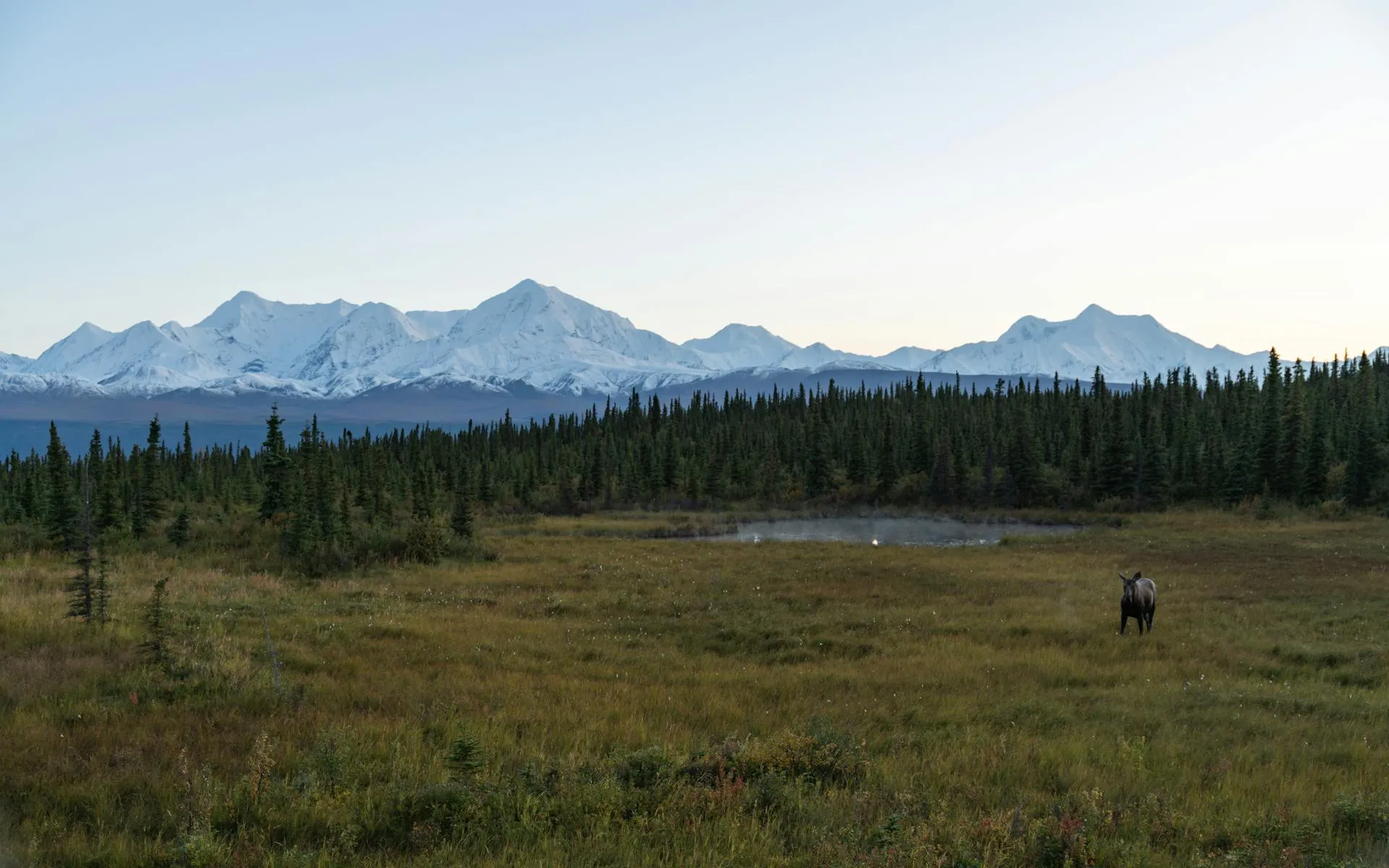
The monument sits just east of Baxter State Park, with views of Mount Katahdin’s profile from several points along the scenic loop road. But while Baxter fills its campsite reservations months in advance and enforces strict capacity limits, Katahdin Woods and Waters sees a fraction of the traffic and charges no entrance fee.
The best stargazing at the monument is during the new moon phase in summer and early fall. The annual Stars Over Katahdin event in September features guided viewing with telescopes and astronomers. Check the monument’s NPS website for the current schedule. Arrive before sunset to set up at one of the designated viewing sites along the loop road.
The Katahdin Loop Road
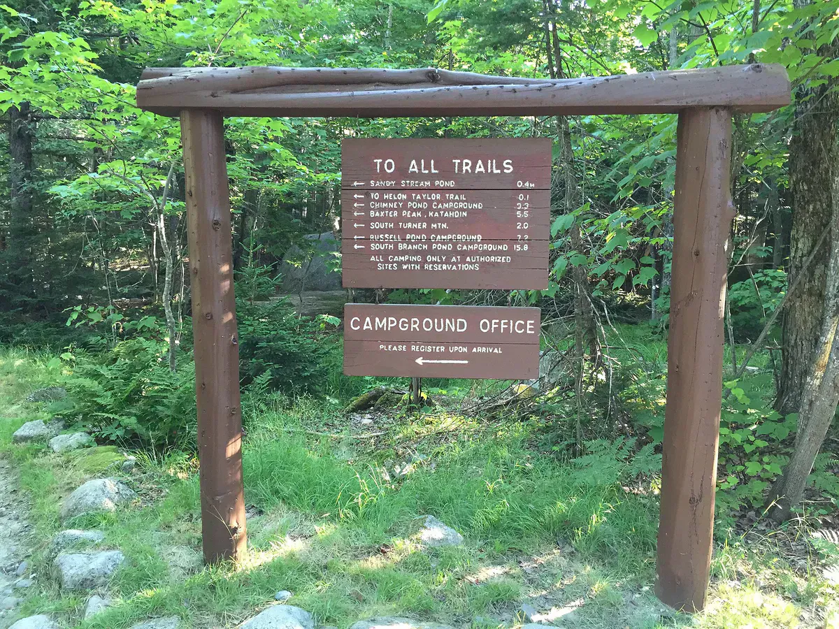
The monument’s primary attraction for day visitors is the Katahdin Loop Road, a scenic driving route through the northern section. The road passes through mature forest with several pulloffs for views of Katahdin, trailheads for short hikes, and interpretive stops. It is unpaved but well-maintained in summer and suitable for regular vehicles in dry conditions.
The road provides access to several short and moderate hiking trails, including routes to overlooks, ponds, and stretches of the East Branch of the Penobscot River.
Camping
The monument has primitive backcountry campsites along the East Branch of the Penobscot and at various locations within the forest. Sites are first-come, first-served, with fire rings and privies. There is no running water, electricity, or cell service at any campsite, so pack a reliable water filter for the river and ponds.
Camping here is the best way to experience the dark sky. Setting up at a riverside site, watching the sun go down over the forest, and then looking up at the stars is the kind of experience that defines what national monuments should be.
There are no services, stores, gas stations, or developed facilities within the monument. Bring everything you need. The nearest supplies are in Patten (north entrance) or Millinocket (south approach). Fill your tank, pack food and water, and tell someone your plan before entering.
The East Branch of the Penobscot
The East Branch of the Penobscot River runs through the monument and is excellent for canoeing, kayaking, and fishing. The river has both flatwater sections suitable for beginners and Class II-III whitewater for experienced paddlers. Brook trout fishing is productive throughout the system.
Multi-day canoe trips on the East Branch, combined with backcountry camping along the banks, are one of the finest wilderness experiences in the eastern United States.
The monument is still relatively unknown, even within Maine. You will meet few other visitors on the trails and loop road, especially on weekdays. This will change as the monument develops. Visit now while it still feels like a well-kept secret.
Getting There
The main access point is via Route 11 from Patten, entering the monument from the north. A southern approach from Millinocket via unpaved roads is also possible but more rough. From Bangor, the drive to Patten is about 90 minutes. From Portland, it is roughly 4 hours.
Patten has a small general store and gas station. Millinocket, about 30 miles south, has fuller services.
When to Go
Spring
May-June. Roads may be muddy. Blackflies fierce in June. River levels are high for paddling.
Summer
July-August. Best weather, driest roads, warmest swimming. Milky Way viewing excellent on clear nights.
Fall
September-October. Peak foliage, stars over Katahdin event, cool nights. Prime stargazing season.
Winter
Roads closed to vehicles. Snowshoe and snowmobile access only. Darkest skies and potential aurora viewing.
Packing List
Katahdin Woods and Waters Visit
- Tent and sleeping gear (for camping)
- Camp stove and fuel
- Water filter (no treated water anywhere in the monument)
- Headlamp with red light mode (for stargazing)
- Binoculars (wildlife and stars)
- Camera with tripod (for night sky photography)
- Bug spray (essential May through July)
- Rain gear and warm layers
- Map of the monument (no cell service for GPS)
- Full tank of gas and all food needed
FAQ
Is Katahdin Woods and Waters free?
Yes. There is no entrance fee. Camping is also free at the primitive backcountry sites.
Can I see Mount Katahdin from the monument?
Yes. Several viewpoints along the Katahdin Loop Road offer clear views of Katahdin's profile to the west. The mountain is in Baxter State Park, not the monument, but the views from this side are excellent.
How dark are the skies?
The monument rates a 2 on the Bortle Scale, making it the darkest certified sky site east of the Mississippi. The Milky Way is clearly visible, the Andromeda Galaxy can be seen with the naked eye, and aurora borealis displays occur with some regularity.
Are dogs allowed?
Yes. Dogs are allowed on trails within the monument but must be on a leash no longer than 6 feet. This is a notable difference from neighboring Baxter State Park, which prohibits dogs entirely.
Is the loop road drivable in a regular car?
In dry summer and fall conditions, yes. The road is unpaved but maintained. After heavy rain, some sections can get muddy. Higher clearance helps but is not required in normal conditions. The road is closed in winter.