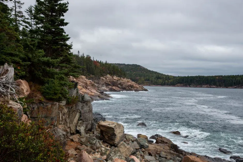
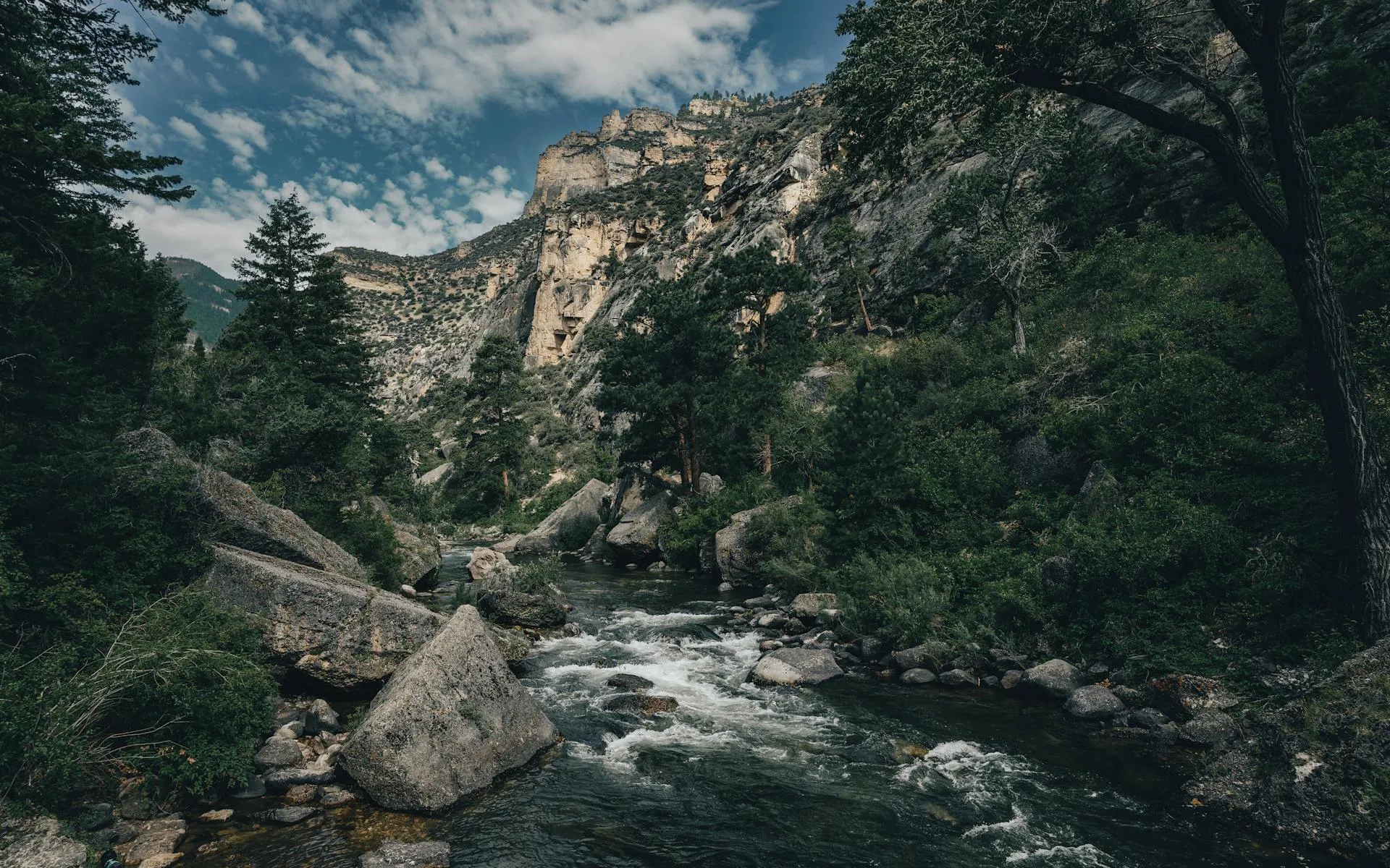
A Cascade in Baxter Country
Sawtelle Falls drops in a series of cascades on Sawtelle Brook in T6 R7 WELS, an unorganized township in northern Penobscot County. The falls sit right in the north woods, a few miles from Shin Pond and within striking distance of the northern entrance to Baxter State Park. This is logging country, and the access roads reflect it. But the cascade itself is a rewarding find for anyone willing to navigate the dirt roads and short trail that lead to it.
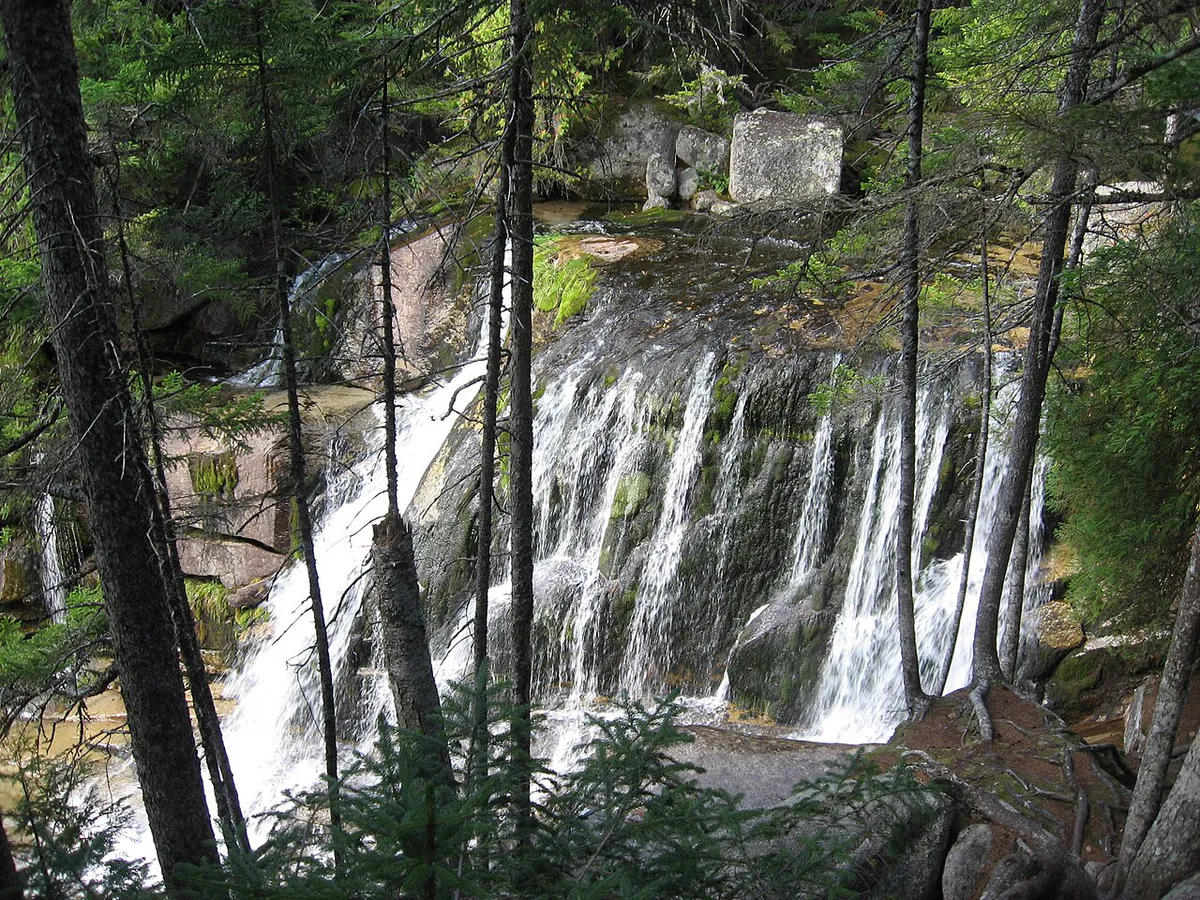
The brook spills over ledges through a corridor of spruce and birch, creating a series of drops that fan out across the rock face. The total drop covers roughly 20 feet across multiple tiers. During spring runoff, the volume turns this into a genuine spectacle. By late summer, the flow thins but the falls still run and the surrounding forest is beautiful.
The Hike
The trail to Sawtelle Falls departs from Scraggly Lake Road, a narrow woods road off the north side of Grand Lake Road. The trailhead is not prominently signed. Look for a small clearing or pulloff near the brook crossing.
From the road, the trail follows yellow blazes generally north for about half a mile. The path is not heavily traveled and may be overgrown in places, particularly early in the season before foot traffic clears the brush. The footing is mostly roots, rocks, and packed earth with a few muddy sections near the brook, so waterproof hiking boots keep your feet dry and planted.
The trail ends at the base of the falls, where you can get close to the cascades and explore the rocks along the brook. The round trip takes most people under an hour including time at the falls.
The logging roads in this area are not well signed and GPS reception can be unreliable. Bring a paper map (DeLorme Maine Atlas & Gazetteer, map 51 or 52) and pay attention to road junctions. It is easy to take a wrong turn.
The Falls
Sawtelle Falls is not a single dramatic plunge but a series of cascading drops where Sawtelle Brook slides and tumbles over bedrock ledges. The rock is dark granite, and the brook cuts through a narrow channel lined with moss, ferns, and overhanging birch trees. The effect is intimate rather than dramatic.
In spring, when snowmelt feeds the brook heavily, the cascades are loud and the spray reaches well beyond the rock face. By July, you can pick your way across the ledges and sit on rocks that are underwater in May. The brook holds native brook trout, and anglers sometimes fish the pools below the falls.
Shin Falls is about 20 miles south of Sawtelle Falls and makes an excellent companion stop. Shin Falls is larger, easier to access, and has a picnic area. Visiting both in a single day gives you a good range of northern Maine waterfall experiences.
When to Visit
Spring
Highest water flow from snowmelt. Roads may be soft and muddy. Black flies peak in June.
Summer
Warmer weather and better road conditions. Water flow drops through the season.
Fall
Fall color in the birch and maple. Cooler temps, fewer bugs. Roads may close by late October.
Winter
Woods roads are typically unplowed and impassable. Snowmobile access may be possible.
May and early June deliver the best water volume but also the worst conditions on the access roads, plus the fiercest black flies, so a head net and strong bug and tick protection are must-haves for an early visit. Mud season in northern Maine is no joke, and a vehicle with good clearance is helpful. Summer is the most accessible time, with warm weather and dry roads. Fall brings bright color to the birch and maple along the brook.
Stop in Patten to top off your gas tank and grab supplies. The Shin Pond Village general store is the last reliable stop before the woods roads. There are no services between Shin Pond and the trailhead.
Practical Notes
There are no fees or permits required. The area is on public land. There are no restrooms or facilities at the trailhead or along the trail.
Cell service is nonexistent at the falls and along the access roads. Plan your route in advance and let someone know where you are going.
Packing List
Sawtelle Falls Visit
- Waterproof hiking boots (trail can be muddy)
- Bug spray and head net (May through July)
- Water bottle and snacks
- Paper map of the area (DeLorme Atlas recommended)
- Camera
- Rain jacket
- First aid kit
Getting There
Sawtelle Falls is in T6 R7 WELS, an unorganized township in northern Penobscot County in the Baxter State Park region. Patten is the nearest town with full services. Top off your gas tank and grab supplies there. The Shin Pond Village general store is the last reliable stop before the woods roads begin.
From Patten, head north on Grand Lake Road. Turn onto Scraggly Lake Road, a narrow woods road off the north side, and watch for a small clearing or pulloff near the Sawtelle Brook crossing. The trailhead is not prominently signed, so bring a paper map, the DeLorme Maine Atlas & Gazetteer (map 51 or 52) is recommended because GPS reception is unreliable in this area.
From the pulloff, the trail follows yellow blazes generally north for about half a mile to the base of the falls. The path is not heavily traveled and may be overgrown early in the season. GPS coordinates for the falls are approximately 46.1100, -68.6200.
Woods roads in this area are active logging roads. Loaded trucks have the right of way and move fast. Conditions are softest and muddiest in spring, typically most passable from midsummer through fall, and usually impassable by passenger car in winter. Cell service is nonexistent at the falls and on the access roads, so tell someone your plans and carry a paper map.
FAQ
How do I get to Sawtelle Falls?
From Patten, take Grand Lake Road north. Turn onto Scraggly Lake Road (a narrow woods road) and look for a small pulloff near Sawtelle Brook. The trail follows yellow blazes for about half a mile to the falls.
Is the Sawtelle Falls trail marked?
The trail has yellow blazes but is not heavily maintained. It can be overgrown early in the season. A map and attention to the blazes are recommended.
Can you swim at Sawtelle Falls?
The pools are shallow and the water is cold. Swimming is not practical, but wading is possible in summer at lower water levels.
Are dogs allowed at Sawtelle Falls?
Yes. Dogs are welcome on the trail and should be kept under control near the falls where the rocks can be slippery.
How far is Sawtelle Falls from Baxter State Park?
Sawtelle Falls is roughly 15 to 20 miles from the northern entrance to Baxter State Park at Matagamon Gate. It makes a good side trip for visitors to the Baxter area.