Getting There Is the Whole Decision
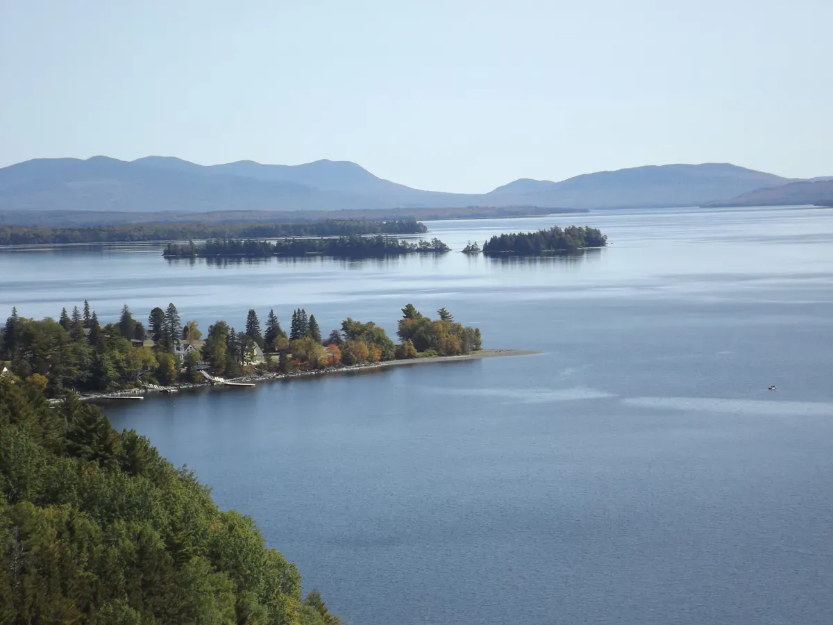
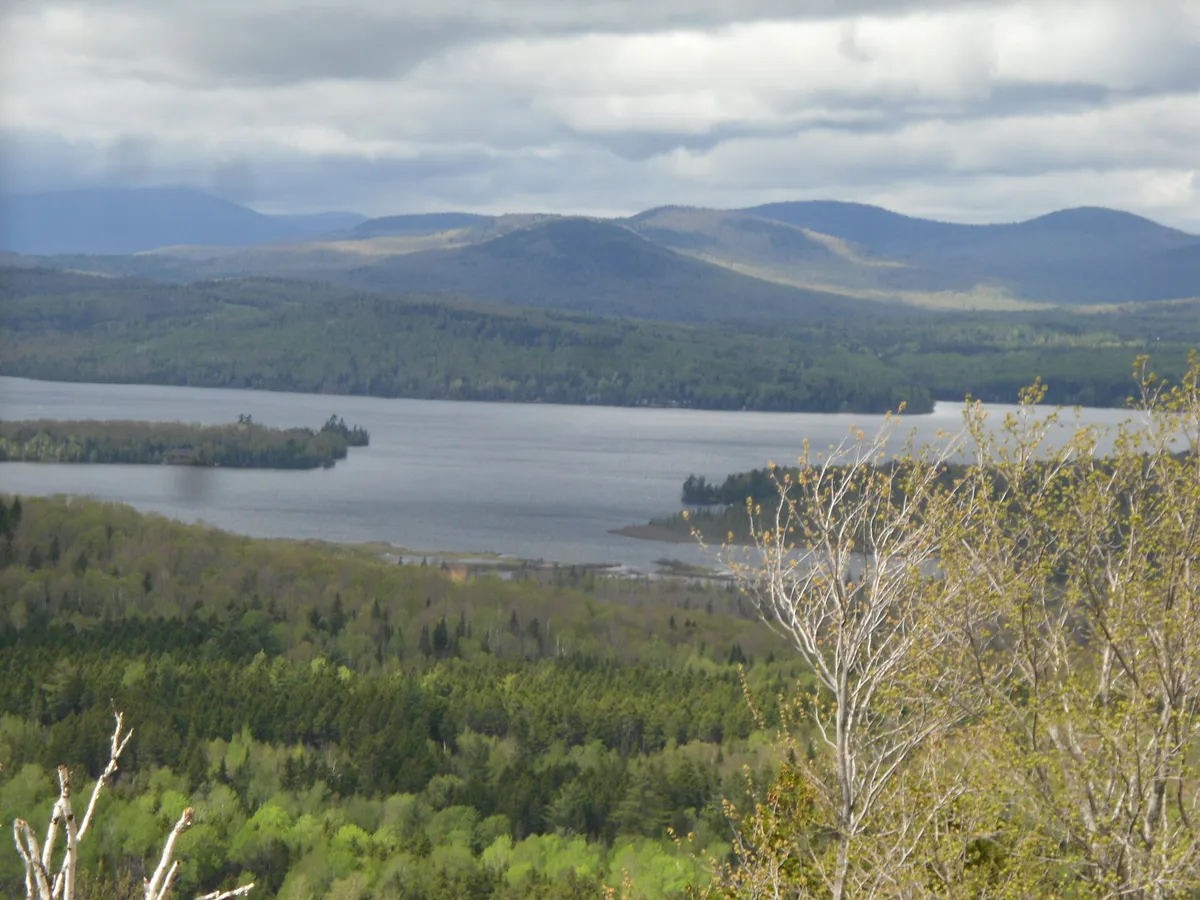
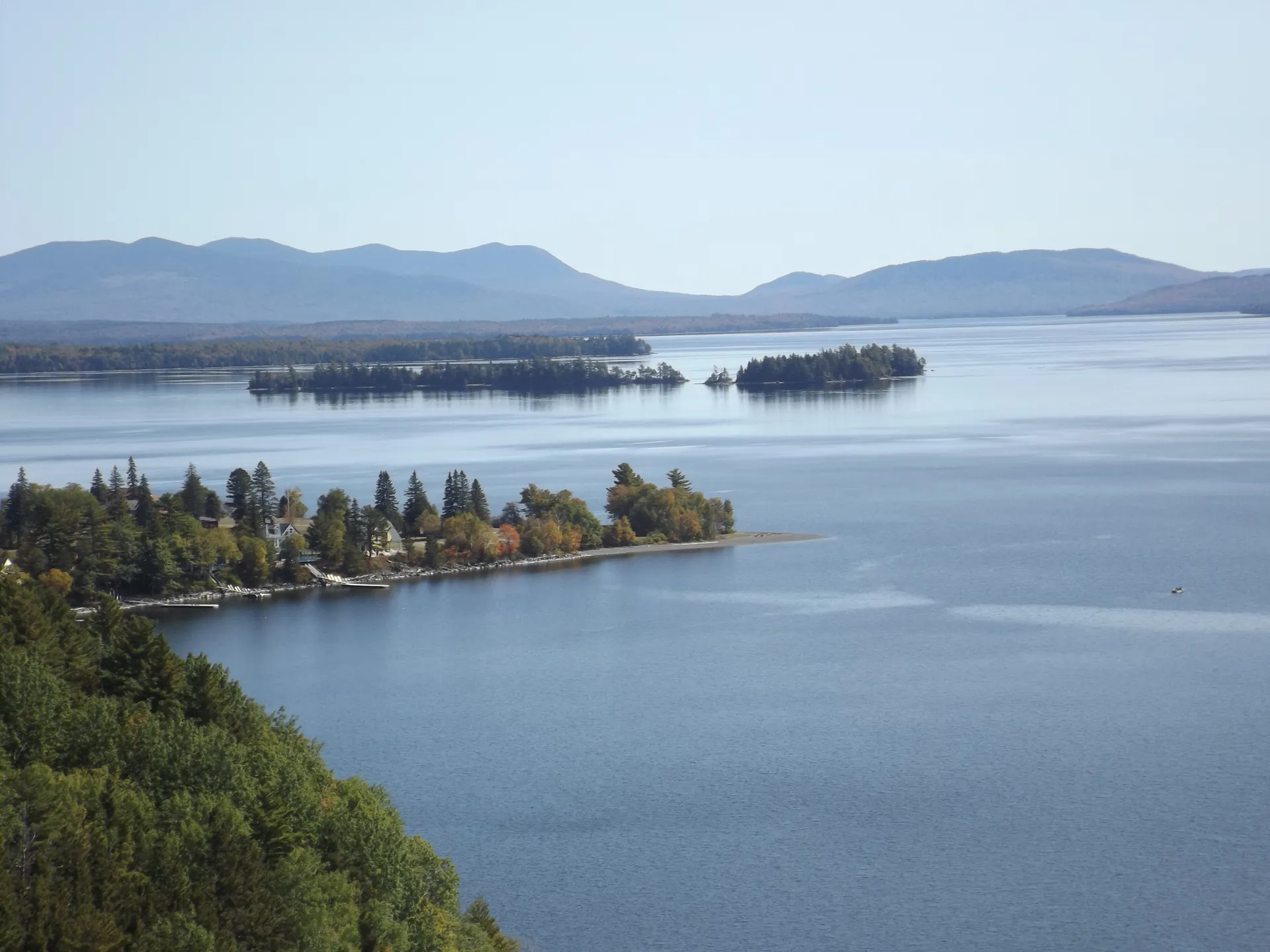
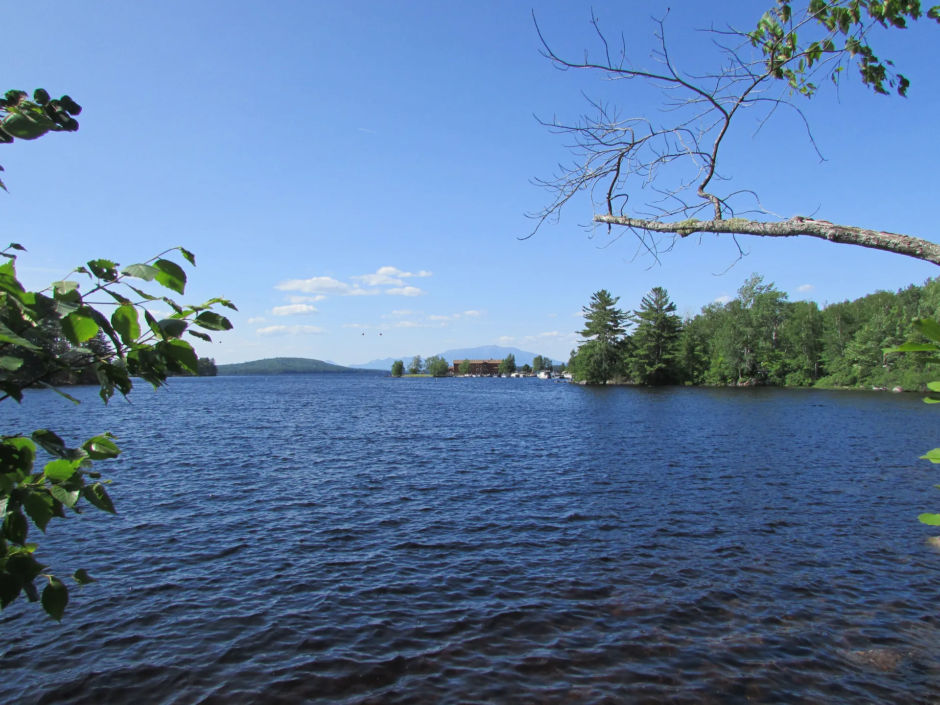
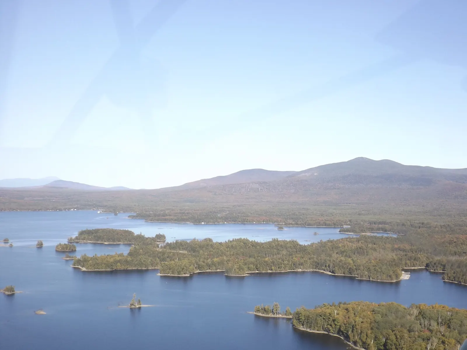
You don’t choose Seboomook the way you choose other campgrounds. You decide whether you can get there. It sits on the far northwest arm of Moosehead Lake in unorganized Seboomook Township, well past the end of the pavement, and there are exactly two ways in: a long haul over gravel logging roads, or a crossing by boat. Everything good about the place (the sandy shore with sites steps from the water, the 45 tent and RV sites, the eight cabins, the marina and the quiet) is on the other side of that access problem.
So this page is built the way you should plan the trip: the route first, then what’s waiting when you arrive. Get the drive wrong here and you are a very long way from help, with no cell signal and no gas station between you and the mistake. Get it right and you have one of the most genuinely remote drive-to campgrounds in Maine. Read the two routes below, then the reality check, before you commit.
Route 1: In by Logging Road
The overland approach is the one most guests take, and it is not a casual drive. By the campground’s own reckoning it runs about 33 miles of dirt logging road from the paved network on the Rockwood and Greenville side of the lake up to Seboomook. These are active, privately managed woods roads shared with loaded log trucks, which always have the right of way. Surfaces change with the weather; washboard, potholes, and soft spots after rain are normal, and there are no services along the way.
The single most important instruction the campground gives is this: do not trust your GPS. Consumer navigation routinely sends people onto gated, washed-out, or dead-end roads out here. Get the current written directions directly from the campground before you leave a signal, and follow those.
Route 2: In by Boat
Because Seboomook is on the water, plenty of guests skip the logging roads entirely and come across the lake. From the Rockwood boat landing it is roughly 22 miles by boat; from Greenville at the south end of Moosehead, it is closer to 42 miles. The campground’s marina takes boat-slip reservations, so you can keep a boat there for the stay. This is a beautiful way to arrive and a serious one. Moosehead is a big, cold, weather-exposed lake, and 22 open miles is a real crossing that can turn ugly fast in wind. Watch the forecast, file a plan with someone onshore, and wear your PFD.
There is no cell service at the sites or cabins. A booster at the store reaches the major carriers, and that is it. There is no fuel or store between the pavement and the campground. Top off your tank before you leave Rockwood or Greenville, carry more water and food than you think you need, and know that the campground itself sells gas, diesel, and groceries once you arrive. Do not rely on your phone’s map to get you there.
Before You Leave the Pavement
Seboomook Access Checklist
- Current written directions from the campground (not GPS)
- Full tank of fuel out of Rockwood or Greenville
- A full-size spare, jack, and the tools to use them
- Extra water, food, and a paper map of the region
- Someone onshore who knows your route and return time
- Life jackets and a checked forecast if you're coming by boat
- Cash or a plan for the gift shop and fuel on-site
What’s Waiting When You Arrive
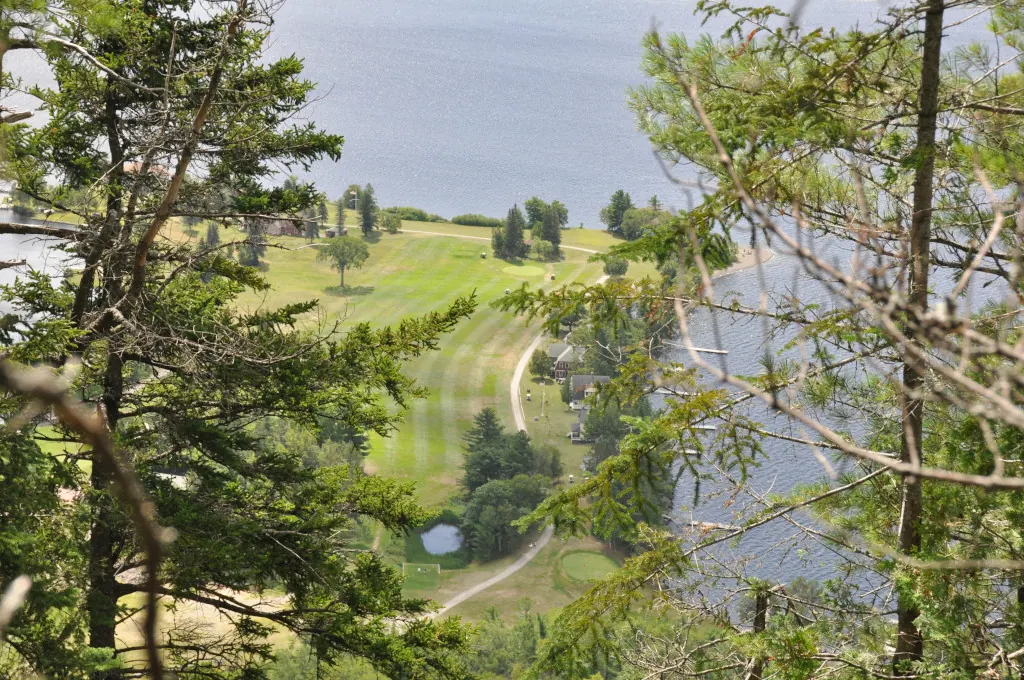
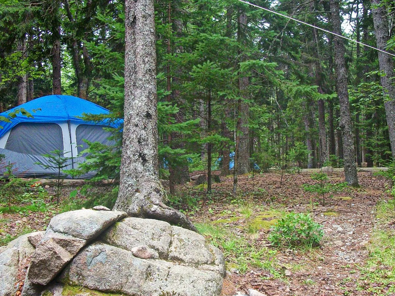
For all the effort to reach it, Seboomook is a real campground, not a bare clearing. There are 45 tent and RV sites and eight cabins. The largest sleeps up to ten, and two are pet-friendly. Select waterfront sites have water and generator-powered electric hookups. The shoreline is sandy, and many sites sit just steps from it. There is a heated bathhouse with flush toilets and free hot showers available around the clock, a gift shop stocked with groceries, ice, snacks, ice cream, beer and wine, plus gas and diesel, and a playground with a pirate ship for kids. The marina rents kayaks, canoes, and stand-up paddleboards if you arrived without your own.
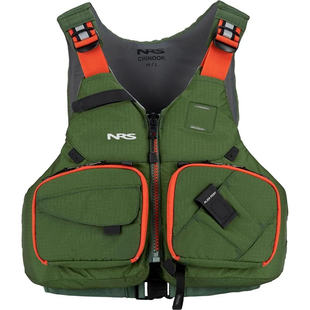
Because so much of the appeal is the open water of the lake’s north arm, and because a big remote lake is no place to improvise safety, a proper personal flotation device you trust is the one piece of gear worth owning rather than renting.
The German POW Camp in the Woods
Seboomook carries a strange, little-known chapter of World War II history. During the 1940s, the Seboomook area held a German prisoner-of-war camp, one of several across northern Maine at places like Houlton, Princeton, and Spencer Lake. The prisoners were put to work logging for the Great Northern Paper Company on the northern end of Moosehead Lake, cutting timber the wartime labor shortage had left standing.
The physical traces are nearly gone; today a remote sign in the woods is about all that marks where the camp stood. A jacket once worn by a prisoner at Seboomook, stenciled “PW” on the sleeves, survives in local hands and has been shown through the Moosehead Historical Society and the American Legion in Greenville. It is worth knowing the story before you go, if only to feel how completely the North Woods reclaim whatever people build out here: a POW camp in one generation, second-growth forest and a quiet campground the next.
Getting to Seboomook costs you half a day either way, so don’t come for one night. Give yourself several days to settle in, paddle the shoreline coves in the calm of early morning, and run the boat out to explore the lake’s wild north end. The far side of Moosehead rewards people who stay long enough to stop watching the clock.
FAQ
How do you get to Seboomook Wilderness Campground?
Two ways: about 33 miles of dirt logging road from the Rockwood and Greenville side of Moosehead Lake, or by boat, roughly 22 miles from the Rockwood landing or about 42 miles from Greenville. Get written directions from the campground and do not rely on GPS.
Is there cell service?
Not at the sites or cabins. A cell booster at the store reaches the major carriers, but plan to be off the grid otherwise.
What kinds of sites and cabins are there?
45 tent and RV sites plus 8 cabins; the largest cabin sleeps up to ten, and two cabins are pet-friendly. Select waterfront sites have water and generator-powered electric.
Can you rent boats or a slip?
Yes. The marina takes boat-slip reservations, and the campground rents kayaks, canoes, and stand-up paddleboards.
Is there fuel and food on-site?
Yes. The gift shop carries groceries, ice, snacks, ice cream, beer and wine, plus gas and diesel, but there is nothing between the pavement and the campground, so fill up first.
How is it booked?
Reservations go through the Campspot platform. Confirm the season's operating dates with the campground before making the trip.
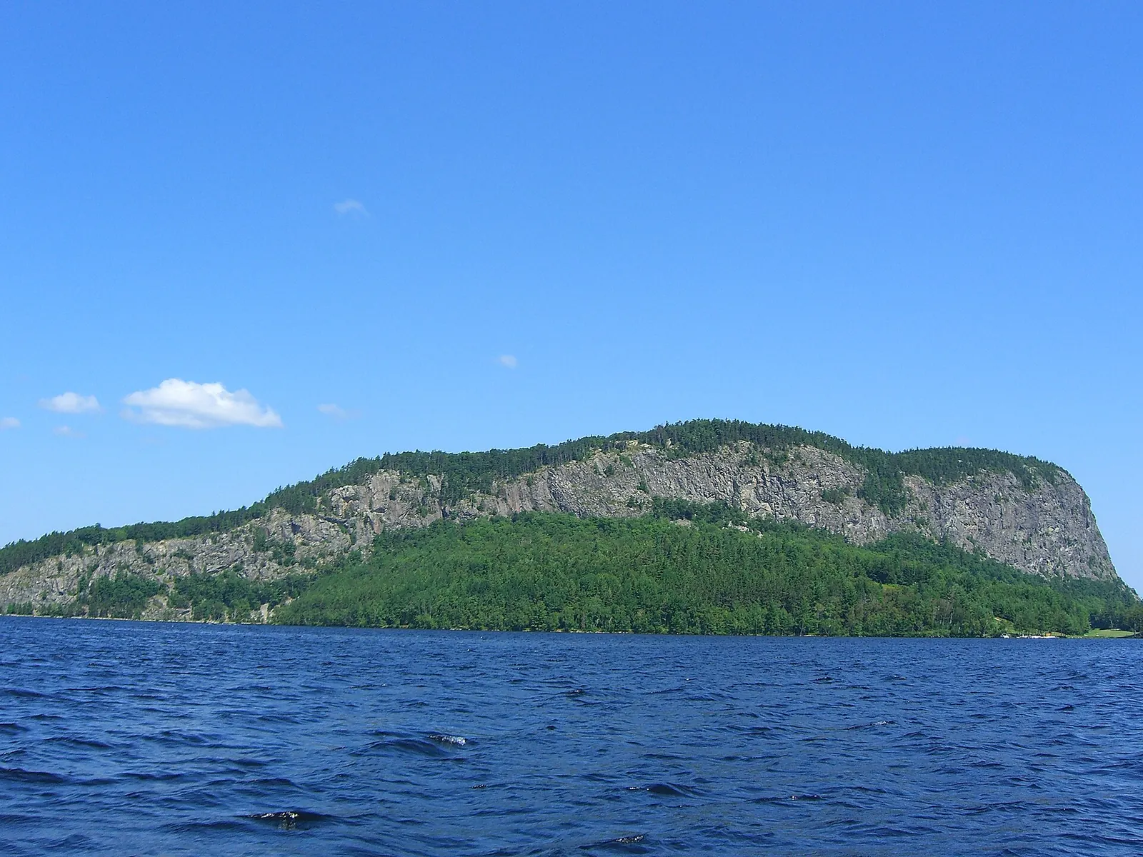
Seboomook is the deep end of the Moosehead region, the wild north arm of Moosehead Lake that most visitors never see. From here you are on the doorstep of the Moosehead Lake backcountry and the paddling on the West Branch of the Penobscot, with the cliffs of Mount Kineo rising from the water to the south.