A Big Payoff for Two Steep Miles
Big Spencer Mountain stands northeast of Moosehead Lake, a hulking, flat-topped ridge that rises alone above the surrounding forest. The summit reaches about 3,205 feet, and the mountain is protected as a Maine ecological reserve covering roughly 4,200 acres of old forest. The trail is only about two miles to the top, but it earns its difficulty rating by climbing close to 1,850 feet in that short distance, with rock staircases and a series of wooden ladders bolted into the steepest, most eroded pitches.
This is a hike where the effort is concentrated. The lower section follows an old jeep track built to serve a fire warden’s cabin around the 1,900-foot mark. Above that the grade steepens hard, the ladders appear, and you haul yourself up through spruce and exposed peat soil to the broad summit.
The Ladders and the View
The wooden ladders are the signature of this trail and the reason it is more of a scramble than a walk near the top. They aid the ascent over short cliff bands and badly eroded sections, and they are sturdy but steep. Take them one at a time, keep three points of contact, and be especially careful coming down, when the descent on slick or icy rungs is the riskier direction.
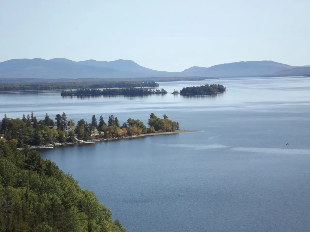
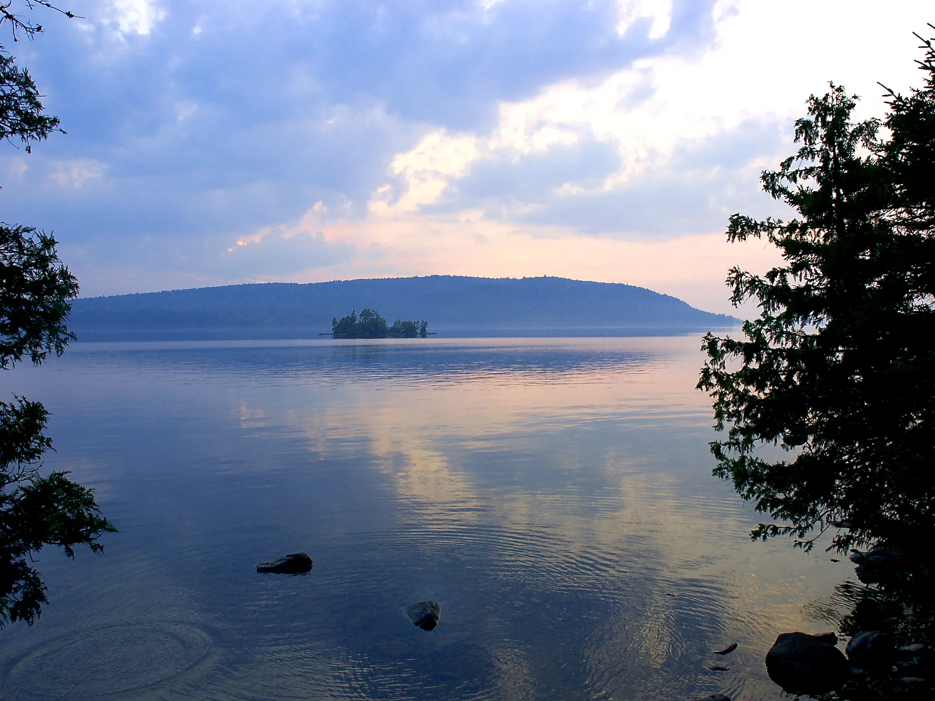
The reward at the top is one of the best summit panoramas in the Moosehead region. The flat summit and old tower site open to a sweep that includes Moosehead Lake to the southwest and, on a clear day, the unmistakable bulk of Katahdin to the northeast. The remoteness keeps the crowds thin even on good summer weekends.
Icy trails & winter hiking
Getting to the Trailhead
The drive is a hike of its own. From Greenville, take the Lily Bay Road north about 19 miles to Kokadjo, bear left onto the Sias Hill Road just past the Roach River, and follow gravel logging roads north and then northeast toward the Big Spencer trailhead, roughly 14 more miles of dirt. These roads are rough and were not friendly to low-clearance cars in recent seasons.
The ladders and steep ledges make this trail genuinely hazardous when wet, icy, or snowy. Avoid it in those conditions. There is no cell service anywhere on the approach or the mountain, the roads are active logging routes, and the climb is short but strenuous. Carry a paper or offline map, plenty of water, and start early. Descend carefully; most ladder mishaps happen on the way down.
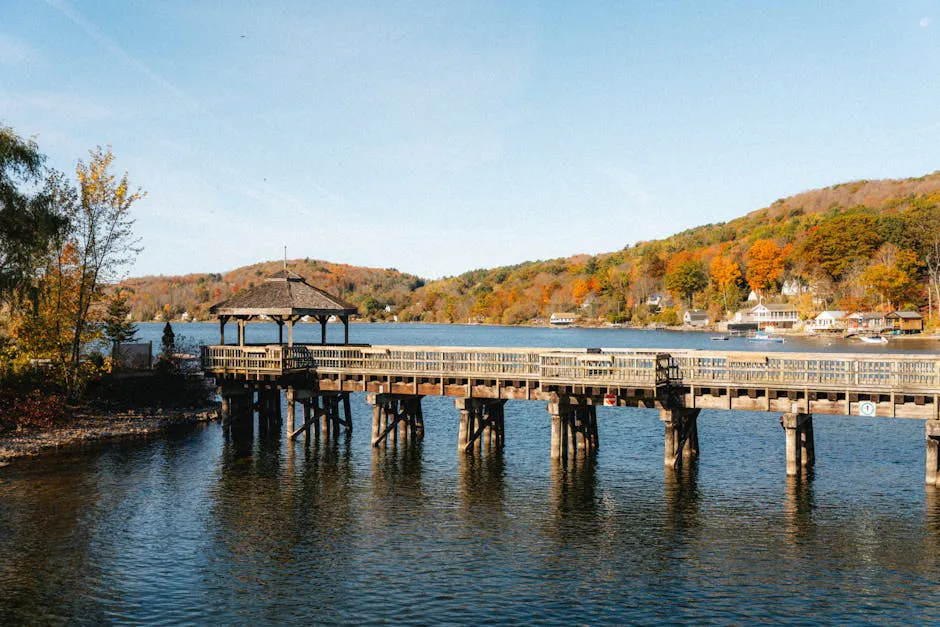
Combine the climb with a paddle. Lobster Lake, off the West Branch of the Penobscot, sits in the same remote country and frames Big Spencer beautifully from the water. A weekend that pairs the summit ladders with a flatwater paddle is a classic way to see this corner of the North Woods.
When to Visit
Spring
Ladders and ledges hold ice and runoff late, and the access roads are muddy. Black flies are fierce by mid-May.
Summer
Dry ladders and firm roads. Bugs persist in the woods, so plan for them and aim for clear days.
Fall
Bug-free, crisp, and the foliage views toward Katahdin are spectacular. The best season for the ladders.
Winter
Iced ladders and unplowed logging roads make this a no-go for casual hikers in winter.
Packing List
Big Spencer Mountain
- Sturdy boots with grippy soles for the ladders and ledges
- Paper or downloaded offline map (no cell service)
- 2 to 3 liters of water for the steep climb
- Bug spray for spring and summer
- Warm layer and shell for the open summit
- Headlamp and spare batteries
- Full tank of gas and a reliable spare tire
- Trash bag to pack everything out
Getting There
From Greenville, drive the Lily Bay Road roughly 19 miles north to Kokadjo. Just past the Roach River, bear left onto the Sias Hill Road and continue north about 8 miles to Bear Pond Brook, where the Bear Brook / Spencer Mountain Road heads northeast roughly 6 miles to the trailhead. The final miles are rough gravel; higher clearance is strongly recommended. Greenville is about two hours north of Bangor and around four hours from Portland.
FAQ
How hard is Big Spencer Mountain?
Hard for its length. The trail is only about two miles up but climbs roughly 1,850 feet, with wooden ladders and steep ledges near the top.
Are the ladders safe?
They are sturdy but steep. Use three points of contact and take special care descending, especially if the rungs are wet or icy. Avoid the trail in icy conditions.
What can you see from the top?
A wide Moosehead-region panorama. On clear days the view reaches Moosehead Lake to the southwest and Katahdin to the northeast from the flat summit.
Can a regular car reach the trailhead?
The final logging roads are rough and were not suited to low-clearance cars in recent seasons. A higher-clearance vehicle is strongly recommended.
Is there a fee?
No. Big Spencer is a Maine Public Reserved Land ecological reserve with free access.
For more in this region, see the Moosehead Lake backcountry and pair the climb with a paddle on Lobster Lake.