New England’s Best Open Ridge Walk
The Baldface Circle Trail is widely considered one of the finest loop hikes in New England. The 9.8-mile circuit climbs South Baldface (3,570 feet) and North Baldface (3,610 feet) via miles of open granite ledge with panoramic views in every direction. The trailhead sits on Route 113 just over the line in Chatham, New Hampshire, but the ridge straddles the Maine border and the mountains are part of the Evans Notch section of the White Mountain National Forest. For Maine hikers in the western mountains, this is a must-do.
This is a serious hike with over 3,600 feet of elevation gain and sustained exposure on open ledges. The granite is dangerously slick when wet. Do not attempt this hike in rain, fog, or icy conditions. Allow a full day and start early.
The Trail
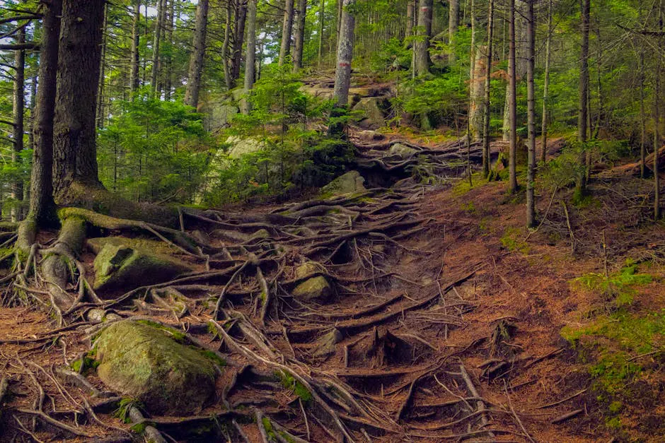
Most hikers go clockwise, ascending South Baldface first. From the parking area on Route 113, the trail enters the forest and climbs moderately for about two miles. Then the ledge begins. The trail breaks out of the trees onto massive granite slabs that stretch upward at a sustained angle. You scramble up the slabs using friction and the occasional handhold, gaining the South Baldface summit after about 4 miles.
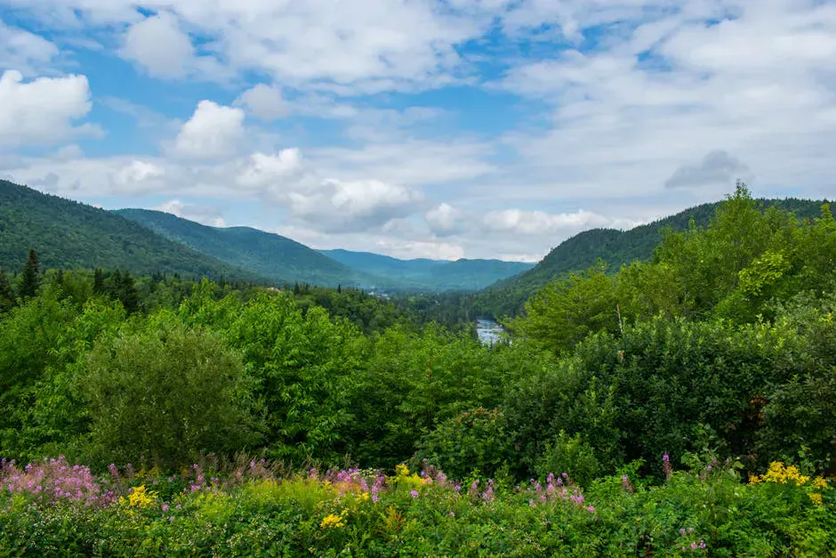
From South Baldface, the trail follows an open ridge north to North Baldface. This 1.5-mile ridge walk is the highlight of the hike. You walk across bare rock with views extending from the Presidential Range to the west, the Evans Notch peaks, and the rolling hills of western Maine to the east. It feels alpine despite being well south of the typical treeline elevation.
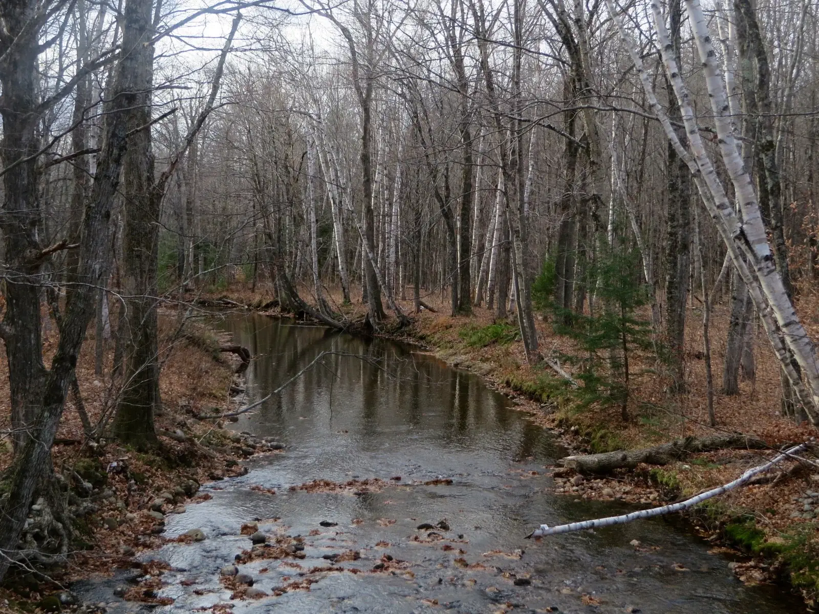
North Baldface is the high point at 3,610 feet. The descent from North Baldface drops steeply back into the forest via the Baldface Circle Trail’s eastern leg, which follows a brook valley back to the trailhead.
Go clockwise (South Baldface first). The ledge scrambles are easier to ascend than descend. The descent off North Baldface via the east side is steep but mostly in the woods with better footing.
When to Go
Spring
Ice on the ledges lingers into May. The brook crossings can be high with snowmelt. Not recommended until late May at the earliest.
Summer
Warm, dry ledges make for excellent hiking. Start early and bring plenty of water. No shade on the ridge.
Fall
The open ridge looks out over miles of red and gold foliage. Late September to early October is peak. Cooler temps make the climbing more comfortable.
Winter
The open ledges are extremely dangerous in ice and snow. Only for experienced winter mountaineers with full traction gear.
Practical Notes
Route 113 through Evans Notch closes in winter. If you are hiking in late fall or early spring, check road conditions before driving out. The trailhead lot has a pit toilet but no other facilities.
Dogs are allowed but must navigate steep granite ledge scrambles. Many dogs struggle with the exposed slabs, so know your dog’s abilities. A White Mountain National Forest parking pass is required.
Packing List
Baldface Circle Trail
- 3 liters of water per person (no shade on the ridge)
- Sturdy hiking boots with excellent grip
- Lunch and plenty of snacks
- Sun protection (sunscreen, hat, sunglasses)
- Wind layer
- Rain jacket
- Map and compass
- WMNF parking pass
Getting There
The Baldface Circle Trailhead is on Route 113 in Chatham, New Hampshire, about 2 miles south of the Evans Notch area. From Fryeburg, Maine, the drive is about 30 minutes via Route 113. From Portland, allow about 1 hour 45 minutes.
FAQ
How long does the Baldface Circle take?
Plan for 6 to 9 hours depending on pace and conditions. This is a full-day hike.
Is this trail in Maine or New Hampshire?
The trailhead is in Chatham, New Hampshire. The ridge straddles the border, and portions of the trail are in Maine.
How do the ledge scrambles compare to other trails?
The ledges here are more sustained than anything in Acadia. You are on open granite for miles, not just a short section. The angle is moderate but constant.
Can I do this hike in the rain?
No. The granite ledges become extremely slick when wet. Postpone the hike if rain is forecast.