Maine’s Piece of the White Mountains
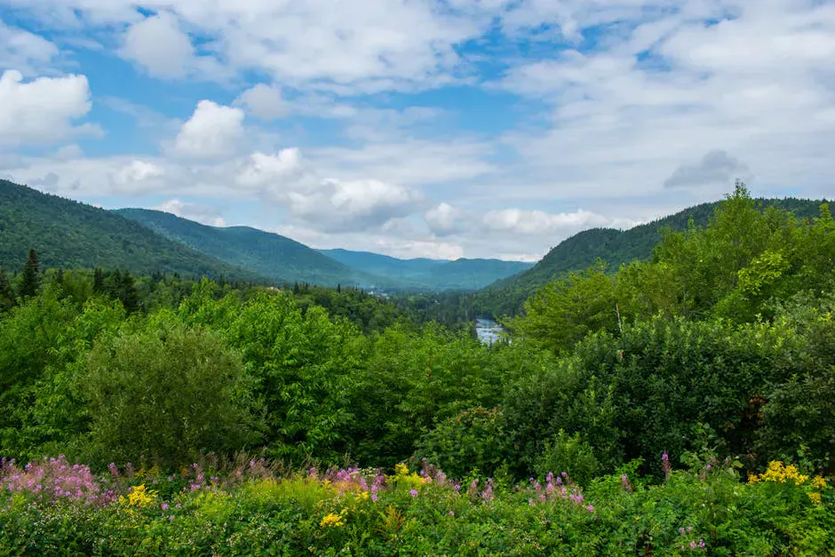
The Caribou-Speckled Mountain Wilderness covers 14,000 acres on the Maine side of the White Mountain National Forest, east of Evans Notch along Route 113. It was designated as a federal wilderness area in 1990, and that protection means no motorized equipment, no mechanized transport, and no developed facilities inside the boundary. What you get instead is a rugged mountain landscape with open ledges, deep notches, glacial features, and about 43 miles of maintained hiking trails that feel more remote than their proximity to civilization suggests.
The highest point is Speckled Mountain at 2,906 feet. Caribou Mountain comes in second at 2,840 feet and is probably the most popular hike in the wilderness, thanks to its open summit with panoramic views. Between and around these peaks, a network of ridges, stream valleys, and smaller summits provides multiday backpacking routes that rival anything in the White Mountains for solitude.
This is a federally designated wilderness. No camping, wood fires, or charcoal fires are allowed within 200 feet of any trail, except at designated sites. Camp stoves are permitted anywhere. Group size is limited to 10. There are no shelters, no outhouses, and no maintained water sources. Pack out everything you bring in.
Key Peaks and Trails
Caribou Mountain (2,840 ft)
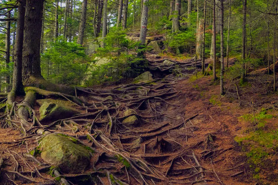
The Caribou Trail is the most popular route in the wilderness. It climbs about 1,900 feet over roughly 3.5 miles from the trailhead on Route 113 to a bald summit with 360-degree views. The rocky, root-laced footing rewards sturdy hiking boots with good ankle support. On a clear day, you can see Mount Washington and the Presidential Range to the west, the lakes of western Maine to the east, and the Evans Notch peaks in every direction. The trail passes through hardwood forest, crosses a few stream beds, and opens onto exposed ledges in the final half mile.
Speckled Mountain (2,906 ft)
The highest peak in the wilderness can be reached via several routes. The Bickford Brook Trail from the Brickett Place on Route 113 climbs to the summit through a series of scenic cascades in the lower section. The Blueberry Ridge Trail offers an alternative approach with outstanding views from open ledges. A loop combining both trails makes a full day hike of about 7 miles with roughly 2,500 feet of elevation gain.
Connecting Ridges
The Spruce Trail and Red Rock Trail connect the various peaks along the ridgeline, allowing multiday traverses. The full ridge walk from Caribou Mountain south to Speckled Mountain covers about 12 miles and can be done as a long day hike or a comfortable overnight with a camp in the valley between the peaks.
The open ledges on Caribou Mountain and the Blueberry Ridge Trail are covered in low-bush blueberry plants. In late July through August, the berries ripen, and you can pick handfuls while sitting on a mountaintop. Bring a small container and enjoy them with your trail lunch.
Backcountry Camping
Primitive camping is permitted throughout the wilderness, with the 200-foot setback rule from trails. There are no designated backcountry campsites, lean-tos, or tent platforms. You choose your own site, and you are responsible for leaving no trace.
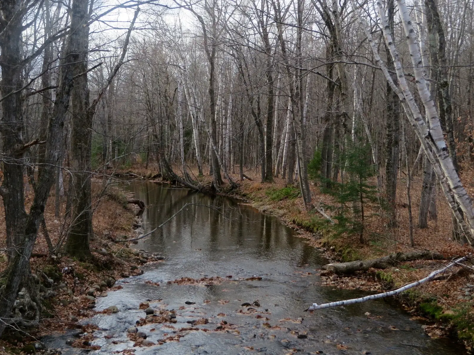
The best camping areas are in the valleys between ridges, where flat ground and water access coincide. The drainage between Caribou Mountain and Speckled Mountain has several suitable spots along stream beds. There are no maintained water sources, so a reliable water filter is essential for treating anything you draw from a stream.
For a less remote option, Hastings Campground on Route 113 just outside the wilderness boundary has developed sites with fire rings and outhouses. It operates on a first-come, first-served basis and is a good base for day hikes into the wilderness.
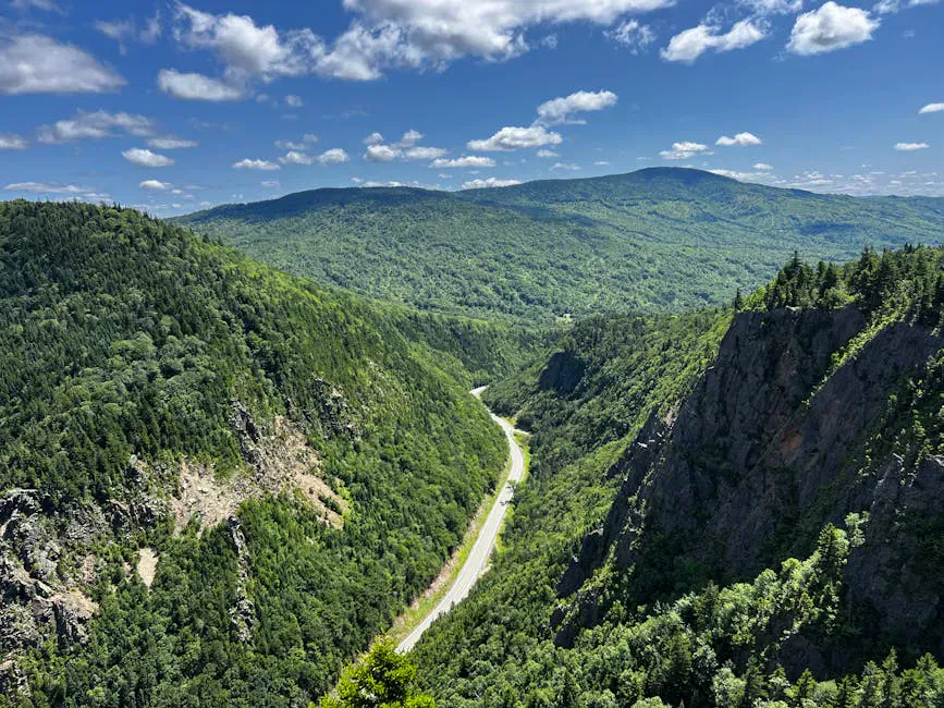
Route 113 through Evans Notch is one of the most scenic driving roads in Maine. It closes in winter, which keeps this area quiet and uncrowded even in summer. If you are coming from the south, the drive through Evans Notch is worth the trip on its own.
Getting There
The main trailheads are along Route 113, which runs north-south through Evans Notch between Gilead, Maine, and Chatham, New Hampshire. From Bethel, take Route 2 east to Gilead and then Route 113 south. From Portland, the drive to the trailheads takes about two and a half hours via Route 2.
The Caribou Trail and Mud Brook Trail share a trailhead parking area on Route 113 between Hastings Campground and the Basin Recreation Area. The Brickett Place, where the Bickford Brook Trail begins, is also on Route 113 and serves as the wilderness information center in summer.
A WMNF parking pass is required at some trailheads ($5 per day or $30 annual). Passes are available at ranger stations, some local stores, and online.
When to Visit
Spring
Snow lingers on the ridges into May. Streams run high. Trails can be muddy and slippery. Not ideal for camping.
Summer
Best weather window. Blueberries ripen in late July. Long days for ridge walks. Bugs decrease by August.
Fall
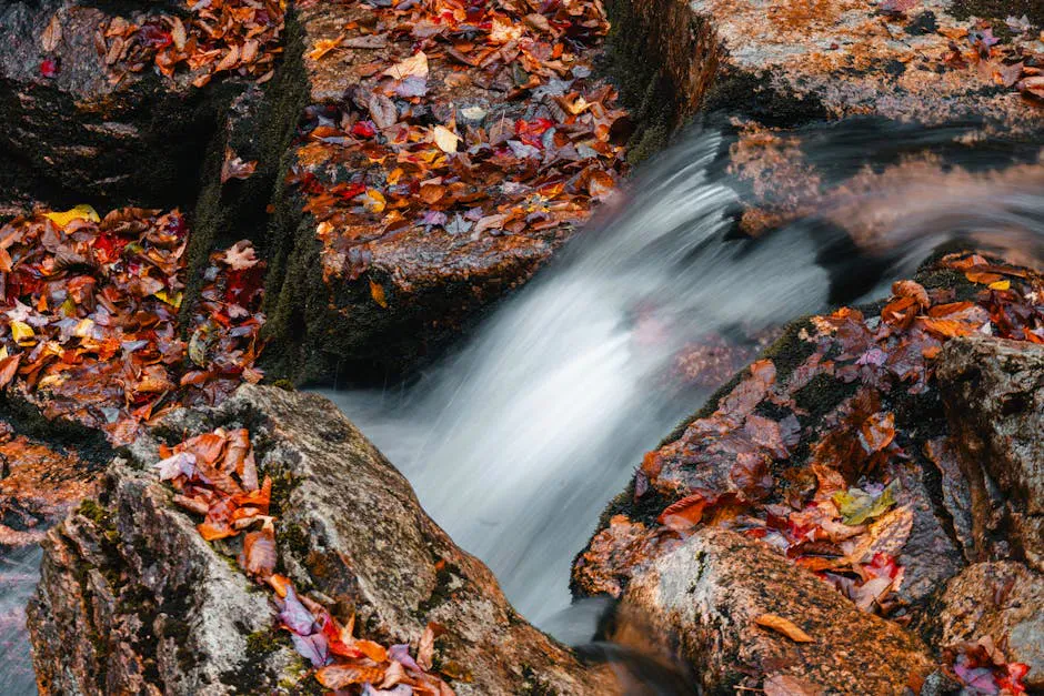
Outstanding foliage from the ridges. Cool nights, no bugs. Prime backpacking season.
Winter
Route 113 closes for winter. Deep snow on trails. Expert winter mountaineering only.
September is the prime month. The foliage from the open ridges is spectacular, the bugs are gone, the nights are cool enough for good sleeping, and the summer hiking crowds have thinned. July and August are warmest and offer the longest days.
Backcountry Packing List
Caribou-Speckled Wilderness Packing List
- Tent (lightweight, three-season)
- Sleeping bag rated to 30F or lower
- Sleeping pad
- Camp stove and fuel (no wood fires within 200 ft of trails)
- Water filter or purification
- 3 liters water capacity minimum
- Rain jacket and wind layer
- Hiking boots with ankle support
- Trekking poles
- Headlamp
- Map and compass (no cell service)
- First aid kit
- Bear hang rope or bag
- WMNF parking pass
FAQ
Do I need a permit to camp in the Caribou-Speckled Wilderness?
No permit is required. You must follow wilderness regulations: camp at least 200 feet from any trail, no wood or charcoal fires within 200 feet of trails, and group size limited to 10. A WMNF parking pass is required at some trailheads.
Which is the best hike in the Caribou-Speckled Wilderness?
Caribou Mountain is the most popular for its bald summit with 360-degree views. The Blueberry Ridge Trail to Speckled Mountain is the most scenic, with extended open ridge walking. A loop combining both peaks makes the best full-day outing.
Is there water in the wilderness?
Several streams flow through the wilderness, but all water must be filtered or treated. In late summer, some smaller streams may run dry. Carry enough water to reach the next reliable source.
Is the Caribou-Speckled Wilderness crowded?
No. Even on summer weekends, the trails beyond Caribou Mountain see light use. The wilderness feels genuinely remote, especially on the connecting ridge trails between peaks.
When does Route 113 close for winter?
Route 113 through Evans Notch typically closes from late November through mid-May, depending on snow conditions. When the road is closed, the trailheads are not accessible by car.