A Downeast Outpost
Lead Mountain is one of those hikes that most people drive right past on their way to Acadia. Rising to 1,475 feet from the flatlands of eastern Hancock County, it is the highest point in the Downeast region between Ellsworth and the coast. The mountain once held a fire tower, and the trail still follows the old fire warden’s path through some of the most distinctive landscape in Maine: vast commercial blueberry barrens that stretch in every direction.
The mountain sits in T28 MD, an unorganized township with no town center, no services, and very few people. It is surrounded by working blueberry land managed by large agricultural operations. In late July and August, the barrens turn a deep green and then shift to brilliant red in the fall. The hike through this landscape is unlike anything else in the state.
The Trail
The Lead Mountain Trail covers roughly 5.3 miles round trip with about 1,164 feet of elevation gain. The trailhead is accessed via logging roads off Route 9 (the Airline Road) between Bangor and Calais. The first section of the trail passes through blueberry barrens on old farm roads, climbing gradually with open sky on all sides.
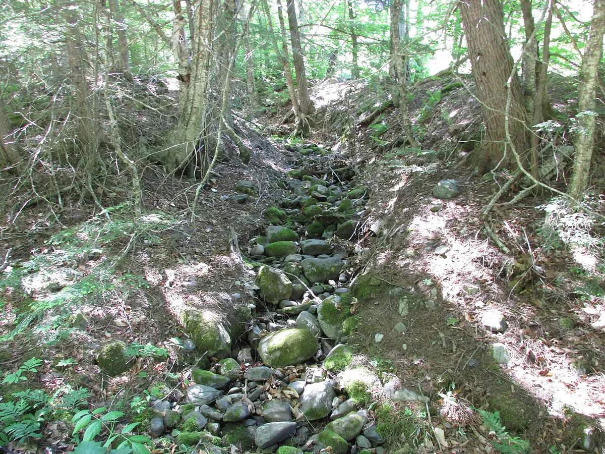
As you gain elevation, the trail enters mixed forest and the grade steepens. The middle section climbs through spruce and hardwood, following the old fire warden’s path with moderate footing. The upper mountain breaks back into the open, and the summit area offers views across the Downeast lowlands to the coast.
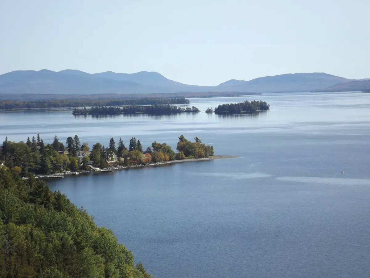
The former fire tower site is at the summit. The tower itself has been removed, but the concrete footings remain. Views from the top extend across the blueberry barrens to the south and east, with the hills around Acadia visible on clear days. To the north, the landscape stretches toward the wilderness of Washington County.
Visit in late August or early September when the blueberry barrens are being harvested. The combination of the deep red barrens, the harvest machinery, and the open sky is a scene unique to Downeast Maine. And the blueberries along the trail edges are usually fair game.
When to Go
Spring
The access road can be muddy. Blackflies are fierce in the barrens through June. Views are good once the snow clears.
Summer
Full access. Blueberry season in late July and August adds color to the landscape. Bring bug spray.
Fall
The barrens turn brilliant red in September. Clear air and cool temps make the hike comfortable. This is when Lead Mountain is at its most photogenic.
Winter
Hikeable with snowshoes. The open barrens are windswept and cold. The access road may not be plowed.
Practical Notes
There is no cell service on Lead Mountain or at the trailhead. The nearest services are in Ellsworth, about 30 to 40 minutes west on Route 9. Bring everything you need.
The access roads cross private blueberry land. Respect posted signs, stay on the trail, and do not drive into the barrens. The landowners have been tolerant of hikers, but that access depends on people being respectful.
The trail crosses private land used for commercial blueberry production. Access for hiking is currently permitted but not guaranteed. Stay on marked trails, do not disturb agricultural equipment or operations, and pack out all trash. Be aware that the barrens may be sprayed or burned during certain seasons.
The drive out Route 9 from Ellsworth is worth doing at sunset after a hike. The road cuts through miles of blueberry barrens and the light on those open fields in September is some of the best scenery in Downeast Maine.
Packing List
Lead Mountain Day Hike
- 2 liters of water per person
- Snacks or lunch
- Bug spray (essential May through July)
- Sunscreen and hat (exposed barrens have no shade)
- Wind layer for the summit
- Sturdy shoes
- Map (cell service is unreliable)
- Camera
Getting There
From Ellsworth, take Route 9 (the Airline Road) east toward Calais. After approximately 20 miles, look for logging road access on the north side of the highway. The trailhead is accessed via these roads. Specific road names and turns vary, and signage is minimal. Consult a DeLorme Maine Atlas (map 34) or download directions before losing cell service.
From Bangor, the drive to the trailhead takes about 50 minutes via Route 9 East.
FAQ
Is Lead Mountain worth the trip?
If you enjoy solitude and unusual landscapes, yes. The blueberry barrens setting is unlike any other hike in Maine. It will not compare to Acadia for dramatic coastline, but for a quiet Downeast outing, it is excellent.
Is the fire tower still standing?
No. The fire tower has been removed. The concrete footings remain at the summit. Views are still open from the summit area.
Are dogs allowed?
Yes. Dogs are welcome on the trail. Keep them under control, especially near blueberry operations.
Is there water on the trail?
No reliable water sources. Carry everything you need from the trailhead.
Can I pick blueberries along the trail?
The barrens are commercial agricultural land and the berries belong to the landowner. That said, wild blueberries growing along the trail margins are generally considered fair game. Use common sense and do not stray into managed fields.