Where Two Rivers Meet
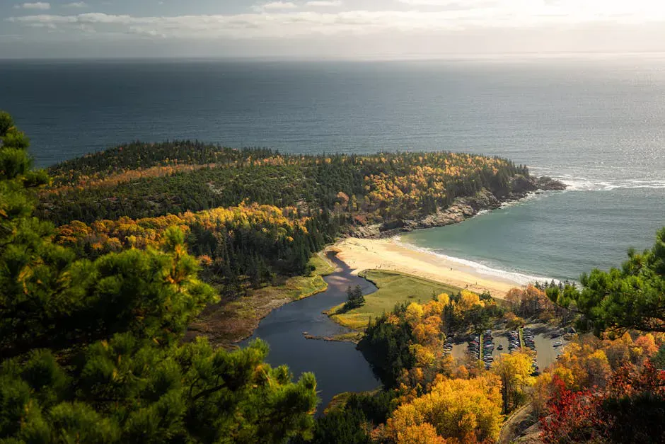
The Ovens Mouth preserve sits on a narrow, finger-shaped peninsula squeezed between the Back River to the east and the Cross River to the west, both tidal rivers that flow into the Damariscotta estuary system. The “ovens” in the name refer to the narrow rocky channels at the northern tip of the peninsula where the two rivers nearly touch. When the tide changes, water rushes through these channels with surprising force, creating a set of reversing falls that you can watch from the trail just a few feet away.
This is one of those hikes that packs a remarkable amount of variety into a modest distance. In 3 miles, you walk through old-growth hemlock groves, scramble down to rocky tidal shores, cross a wooden bridge over a tidal channel, watch river currents reverse direction, and loop back through mixed hardwood forest. The Boothbay Region Land Trust maintains the preserve beautifully, with well-blazed trails, sturdy bridges, and a few strategically placed benches at the best viewpoints.
The preserve is divided into two halves, East and West, connected by a bridge at the narrow waist of the peninsula. Most hikers walk both loops for the full 3-mile circuit, but you can easily shorten the walk by doing just one side.
The East Loop
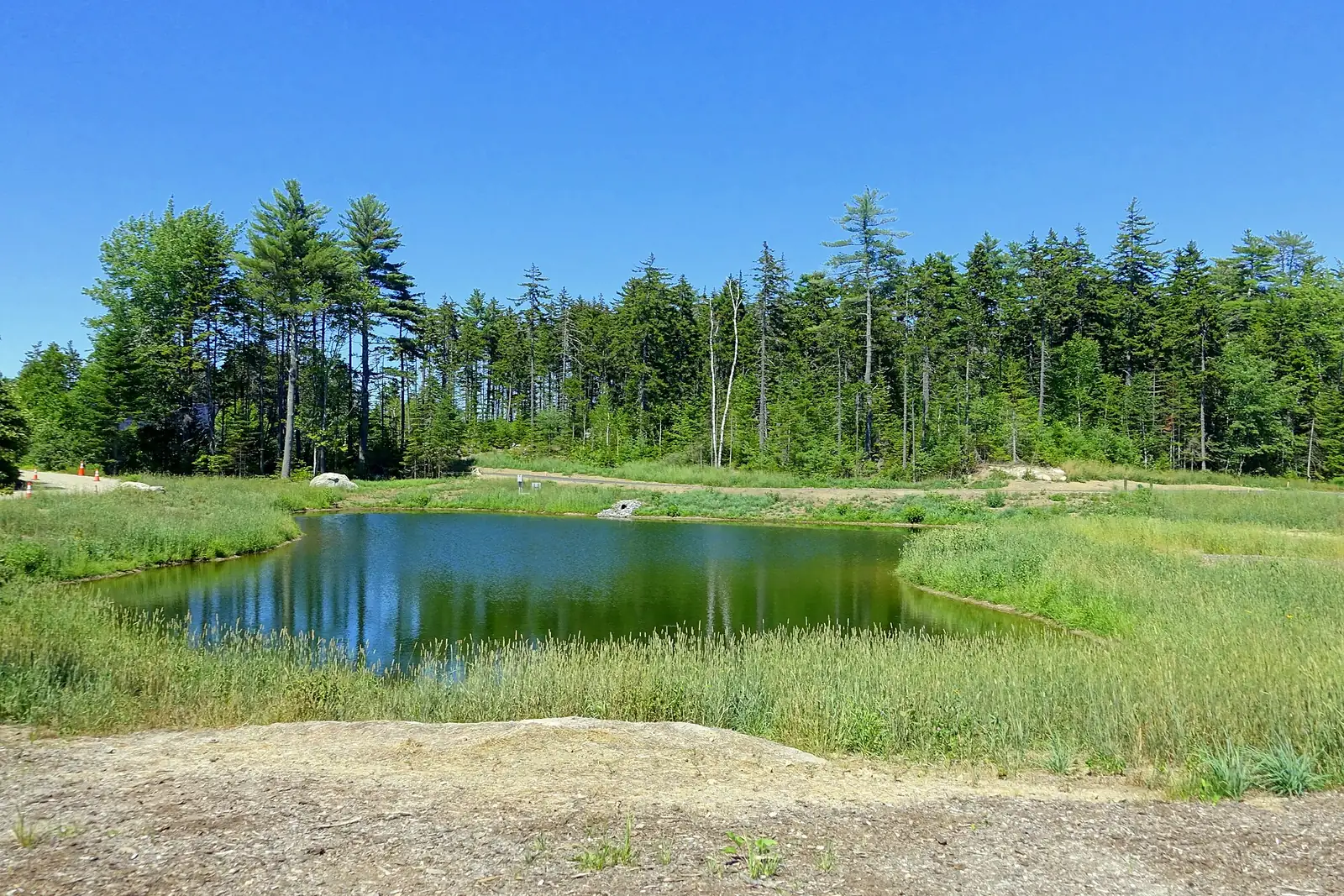
The East Loop follows the shore of the Back River and the interior of the eastern half of the peninsula. The trail passes through some of the oldest hemlock trees in the region, with a few specimens estimated at over 200 years old. The canopy is dense, the forest floor is open, and the light filtering through the needles gives the grove a cathedral quality.
The shoreline sections offer views across the Back River to the far bank, where ospreys nest on tall pines and great blue herons patrol the shallows. At low tide, the mudflats along the river are exposed and you can see the channels where the water flows even when the tide is out.
The reversing falls at the Ovens are best experienced during the middle of the tide change, when the water rushes through the narrow channels with the most force. The effect is visible on both the incoming and outgoing tide, but the outgoing tide typically creates more dramatic flow. Check the Boothbay Harbor tide chart and aim to be at the northern tip about 3 hours after high or low tide.
The Ovens
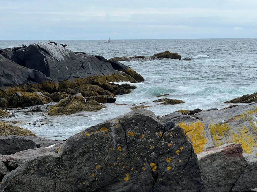
At the northern tip of the peninsula, the trail reaches the ovens themselves, narrow, rocky channels where the Back River and Cross River come within a few dozen yards of each other. The bedrock creates a natural bottleneck, and when the tide is changing, the water funnels through with visible current and small standing waves.
This is a fascinating spot to linger. You can watch the current shift direction as the tide turns, see the water level rise or fall visibly over the course of a few minutes, and observe how the marine life in the channels responds to the changing flow. Seals occasionally appear in the deeper channels, following fish through the narrows.
The rocks along the channels at the Ovens are slippery with algae and often wet from spray. Stay on the marked trail and use caution if you venture onto the shore rocks. The current through the narrows is strong enough to be dangerous if you fell in.
The West Loop
The West Loop follows the Cross River shore and tends to be slightly quieter than the East Loop. The forest here is mixed hardwood, oak, maple, and birch, and in autumn the colors are outstanding. The trail passes through several clearings where you can look west across the river to the woods beyond.
The shoreline on the west side is rockier and steeper than the east, with several places where the trail runs along the top of a low bluff above the river. The views are more open on this side, and you may spot harbor seals hauled out on the exposed ledges at low tide.
The two loops connect via a footbridge at the narrow neck of the peninsula, where the land is barely 50 feet wide between the two rivers. Standing on the bridge, you can see water on both sides. It is a strange and wonderful geographic sensation.
When to Go
Spring
Wildflowers carpet the forest floor in May. The hemlock grove is particularly lush. Trail may be muddy in spots.
Summer
Full leaf canopy provides shade. Best time for seal sightings and tidal activity. Osprey nesting season.
Fall
The hardwood sections on the West Loop turn deep color in October. Fewer visitors, crisp air, active wildlife.
Winter
The hemlock grove stays green and dramatic. The trail is accessible but can be icy near the shore. Quiet and peaceful.
After your hike, drive into Boothbay Harbor for lunch. The harbor is about 10 minutes south, and you can eat right on the water. For something more local and less touristy, try the Boothbay Craft Brewery taproom on Industrial Park Road, which is just a few minutes from the trailhead.
What to Bring
Ovens Mouth Trail Packing List
- Comfortable hiking shoes (some rocky sections near shore)
- Binoculars (osprey, seals, herons along the rivers)
- Camera (the hemlock grove and reversing falls are photogenic)
- Water and snacks
- Tide chart (time your visit to the tide change for the best ovens experience)
- Bug spray in summer
FAQ
How long does the Ovens Mouth Trail take?
The full 3-mile circuit of both loops takes most hikers 1.5 to 2 hours. You can shorten it by walking just the East or West loop, each of which is about 1.5 miles. Add time if you want to linger at the reversing falls.
Is there a fee for Ovens Mouth Preserve?
No. The preserve is maintained by the Boothbay Region Land Trust and is free and open to the public year-round. There is a small parking area at the trailhead.
Are dogs allowed on the Ovens Mouth Trail?
Yes, dogs are welcome on leash. The trail is easy terrain for most dogs. Keep them away from the channel edges where the current is strong.
What are the reversing falls at Ovens Mouth?
The reversing falls occur at the northern tip of the peninsula where narrow rock channels connect the Back River and Cross River. As the tide changes, water rushes through these channels in one direction, then reverses as the tide turns. The effect is most dramatic in the middle of the tide change.