An Appalachian Trail Summit Over the Kennebec Highlands
Pleasant Pond Mountain stands 2,480 feet above the small village of Caratunk in the upper Kennebec River valley. The mountain is part of the Appalachian Trail corridor, and the trail to the summit follows the white blazes of the AT as it climbs from the western approach through dense forest to an open, rocky summit with long views in every direction. This is one of the most rewarding day hikes on the AT in Maine, and one of the few that delivers a genuine above-treeline experience without requiring a full-day commitment.
The hike is short in distance but earns its difficulty rating. Nearly 1,200 feet of elevation gain is packed into just over a mile of steep, root-laced, rocky trail. Hikers who are comfortable with a sustained climb will find the summit views well worth the effort.
The Trail
The western approach starts from a trailhead off Pleasant Pond Road, a short drive from Caratunk village on US Route 201. The trail follows the Appalachian Trail eastbound (northbound for thru-hikers), passing through mixed hardwood and spruce forest on a moderate grade for the first stretch.
The trail passes the Pleasant Pond lean-to and a spur trail that drops down to a sandy beach on Pleasant Pond. This is a beautiful spot and worth a detour, especially on the way back down. The pond is clear and cold, ringed by forest, and feels remote even though the road is not far away.
Beyond the lean-to, the trail steepens significantly. The next mile climbs roughly 1,000 feet through increasingly rocky terrain, with exposed roots, rock steps, and a few sections that require hands. The footing is challenging and the trail is relentless in its upward push. Because this is the AT, the trail is well-blazed and well-maintained, but the terrain is genuinely rugged.
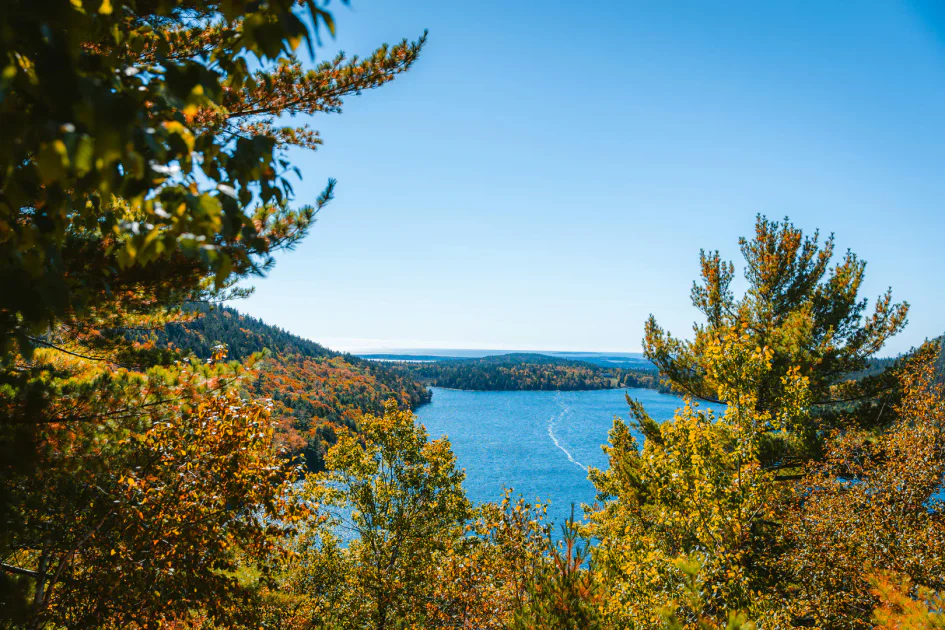
The summit is open and rocky, with views stretching across Pleasant Pond directly below, the Kennebec River valley to the west, and the forested ridges of the Maine highlands in every direction. On clear days, the view is one of the best in the Kennebec region.
The Summit Views
The open ledges on the summit face south and west, giving a wide panorama. Pleasant Pond is the centerpiece, its deep blue water set in a bowl of dark spruce and fir. Beyond the pond, the Kennebec River curves through its valley, and the ridgelines of the surrounding hills layer into the distance. To the north, the terrain rises toward Moxie Bald Mountain and the more remote peaks of the 100-Mile Wilderness region.
There is no shelter on the summit and very little shade. The ledges are fully exposed to sun and wind.
When to Go
Spring
Trail is muddy and the upper sections hold snow and ice into May. Black flies are fierce in late May and June. Not the best season for this hike.
Summer
Warm weather and long days. Bring plenty of water for the steep climb. The beach at Pleasant Pond is a perfect post-hike reward.
Fall
Cool air, clear skies, and foliage in the surrounding valleys. Mid-September through mid-October is ideal. Fewer bugs and the best visibility.
Winter
The steep upper trail is icy and exposed. Microspikes or crampons are essential. Only for experienced winter hikers.
Practical Notes
The sandy beach at Pleasant Pond, accessible via a short spur trail near the lean-to, is one of the best swimming spots in the Kennebec highlands. Bring a towel and plan to stop here after the hike. The water is cold and clean.
Parking is at a small pulloff near the trailhead on Pleasant Pond Road. There are no restrooms or facilities at the trailhead. Cell service is spotty in Caratunk and unreliable on the mountain.
The village of Caratunk is tiny, but US Route 201 connects it to Bingham to the south and The Forks to the north, where services including food, fuel, and lodging are available.
Packing List
Pleasant Pond Mountain Day Hike
- 2 liters of water per person (the climb is steep and exposed)
- Trekking poles (helpful on the rocky descent)
- Sturdy hiking boots with ankle support
- Snacks and lunch for the summit
- Bug spray May through August
- Wind layer for the summit
- Towel and swimsuit for the Pleasant Pond beach
- Camera
Getting There
From Bingham, drive north on US Route 201 for about 14 miles. Turn right at the sign for Caratunk and Pleasant Pond. Follow the road 0.8 miles to Caratunk village, then turn right and head uphill on Pleasant Pond Road to the trailhead. From Portland, the drive takes about 2 hours and 45 minutes. From Bangor, roughly 1 hour and 45 minutes.
The Forks, a popular base for rafting and outdoor recreation on the Kennebec and Dead rivers, is about 15 miles north on Route 201.
FAQ
How long does the Pleasant Pond Mountain hike take?
Most hikers take 2.5 to 3.5 hours round trip, depending on fitness and time spent at the summit and beach. The climb is steep and slow for most people.
Is this part of the Appalachian Trail?
Yes. The trail to the summit follows the white-blazed Appalachian Trail. You will likely see thru-hikers during summer and early fall.
Are dogs allowed?
Yes. Dogs are welcome on the trail. The terrain is rough and steep, so this hike is better suited to dogs that are comfortable on rocky trails.
Can I swim at Pleasant Pond?
Yes. A spur trail near the AT lean-to leads to a sandy beach on Pleasant Pond. The water is cold but clean, and it is a great way to cool off after the climb.
How difficult is this hike?
Hard. The trail gains nearly 1,200 feet in just over a mile, with rocky and root-covered terrain the entire way. It is a real workout but short enough that most reasonably fit hikers can manage it.
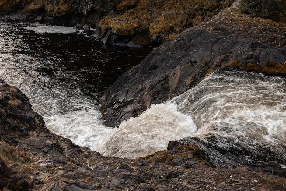
For more in the area, see Moxie Falls, one of the tallest waterfalls in Maine, about 20 minutes north on Route 201.