The AT’s Bald Summit Above Moxie Pond
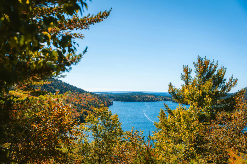
Moxie Bald Mountain is the highest point on the Appalachian Trail between Monson and the Kennebec River, rising to 2,630 feet above the forest and lakes of Somerset County. The bald, open summit offers a 360-degree panorama over Moxie Pond, Bald Mountain Pond, and the rolling green carpet of the northern Maine forest. The 8.0-mile round trip from the parking area on Moxie Pond Road is a moderate but satisfying full-day hike.
The Trail
The hike begins at the Maine Appalachian Trail Club parking area on Moxie Pond Road, south of The Forks. The trail follows a blue-blazed connector to the AT, then turns north on the white-blazed Appalachian Trail.
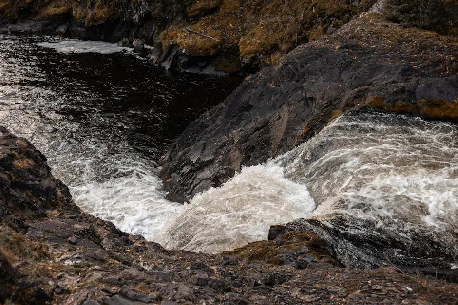
The first couple of miles climb gradually through mixed forest, crossing a few small streams. The grade increases as the trail enters denser spruce and fir. Around 3 miles, the trees begin to thin and the trail crosses open slabs and scrubby terrain.
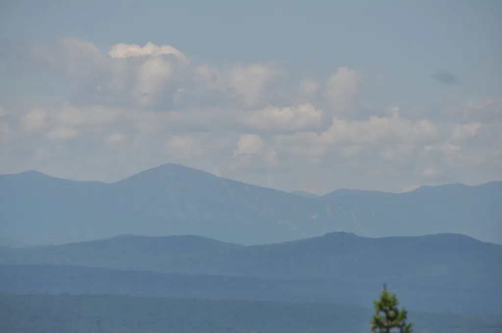
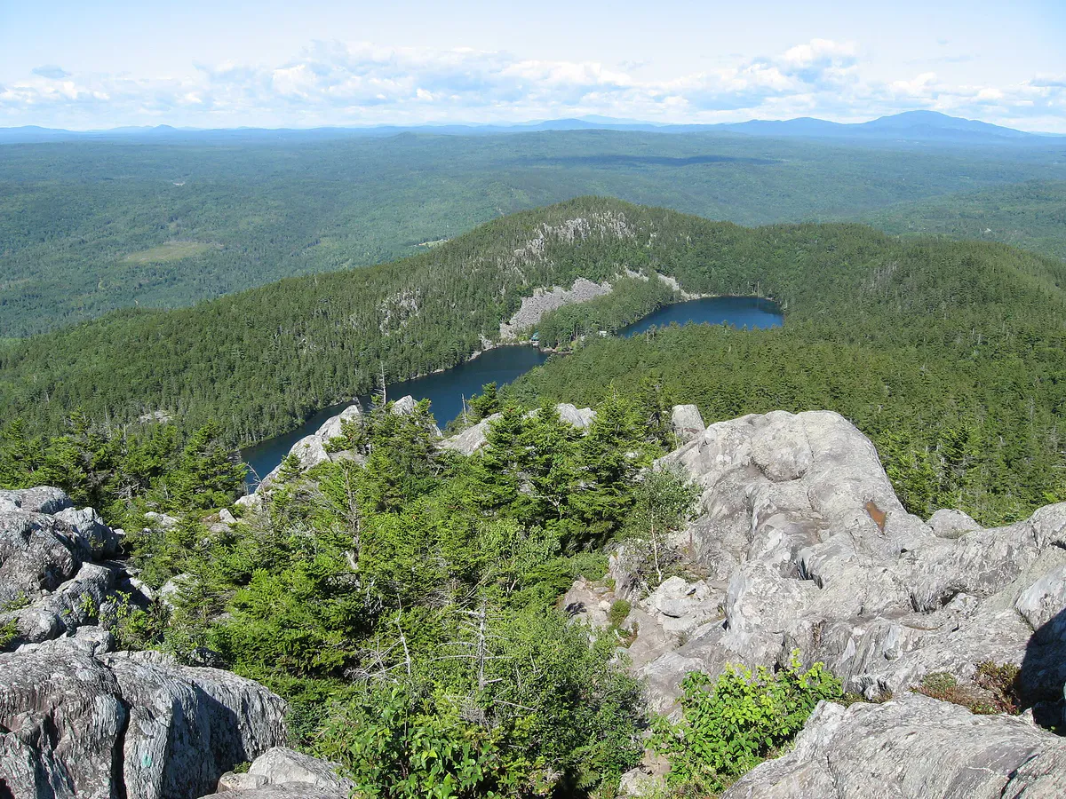
The summit is broad, bald, and open. The footings of a fire tower removed in 1994 mark the high point. From here, Moxie Pond stretches below to the west, and the forest extends to the horizon in every direction. A side trail leads 0.7 miles north to North Peak, which has additional views toward the Moosehead Lake region.
If you have the energy, take the 0.7-mile side trail to North Peak. The open ledges there offer a different angle on the landscape and are usually deserted.
Summit Views
The bald summit is the reward. Moxie Pond dominates the view to the west, a long, narrow lake hemmed in by forest. To the south, the AT corridor disappears toward Monson and the 100-Mile Wilderness. To the north, the Kennebec River valley and the Moosehead region are visible on clear days. The complete absence of development in the viewshed is striking.
When to Go
Spring
Muddy conditions and high water on stream crossings through May. Black flies are thick from late May through June.
Summer
Warm days with blueberries ripening on the summit in late July. Bring bug spray and sunscreen.
Fall
The bald summit is a great vantage point for fall foliage across the northern forest. Cool hiking temps.
Winter
Snowshoeable. Access road may not be plowed.
Practical Notes
The Forks is known for whitewater rafting on the Kennebec and Dead rivers. Pair a Moxie Bald hike with a rafting trip for a great weekend in the northern Maine woods.
Dogs are allowed. No facilities at the trailhead. Cell service is nonexistent. The access road is gravel and generally passable for most vehicles.
Packing List
Moxie Bald Mountain
- 2.5 liters of water per person
- Lunch and snacks
- Sturdy hiking boots
- Bug spray
- Sunscreen and hat for the bald summit
- Wind layer
- Map or GPS
Getting There
The trailhead is on Moxie Pond Road, south of The Forks. From The Forks, drive south on Route 201 and turn east onto Moxie Pond Road. Follow it about 5 miles to the parking area. From Bangor, the total drive is about 1 hour 50 minutes.
FAQ
How long does the Moxie Bald hike take?
Plan for 5 to 7 hours round trip for the 8-mile hike.
Is there still a fire tower?
No. The fire tower was removed in 1994. Only the footings remain. The summit is open and bald, so the views are unobstructed without the tower.
Is this a good hike for AT section hikers?
Yes. Moxie Bald is one of the scenic highlights of the AT between Monson and the Kennebec River. Many section hikers make it a priority.
Can I swim in Moxie Pond?
You can access Moxie Pond from the road, though the trail itself does not go to the shoreline.