A Quiet Summit in Southern Maine’s Biggest Wild Area
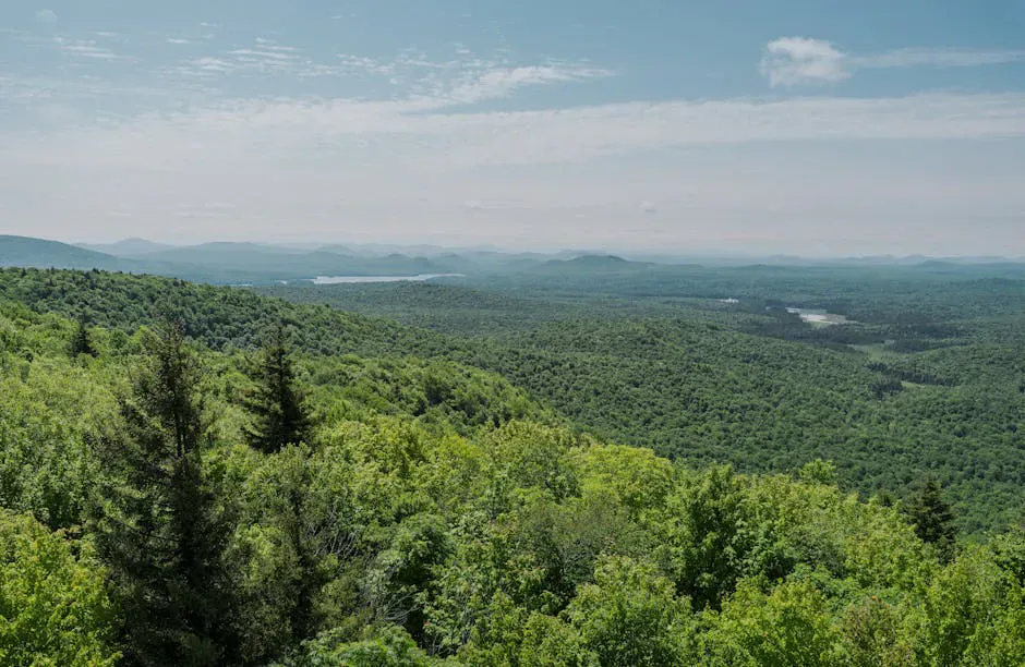
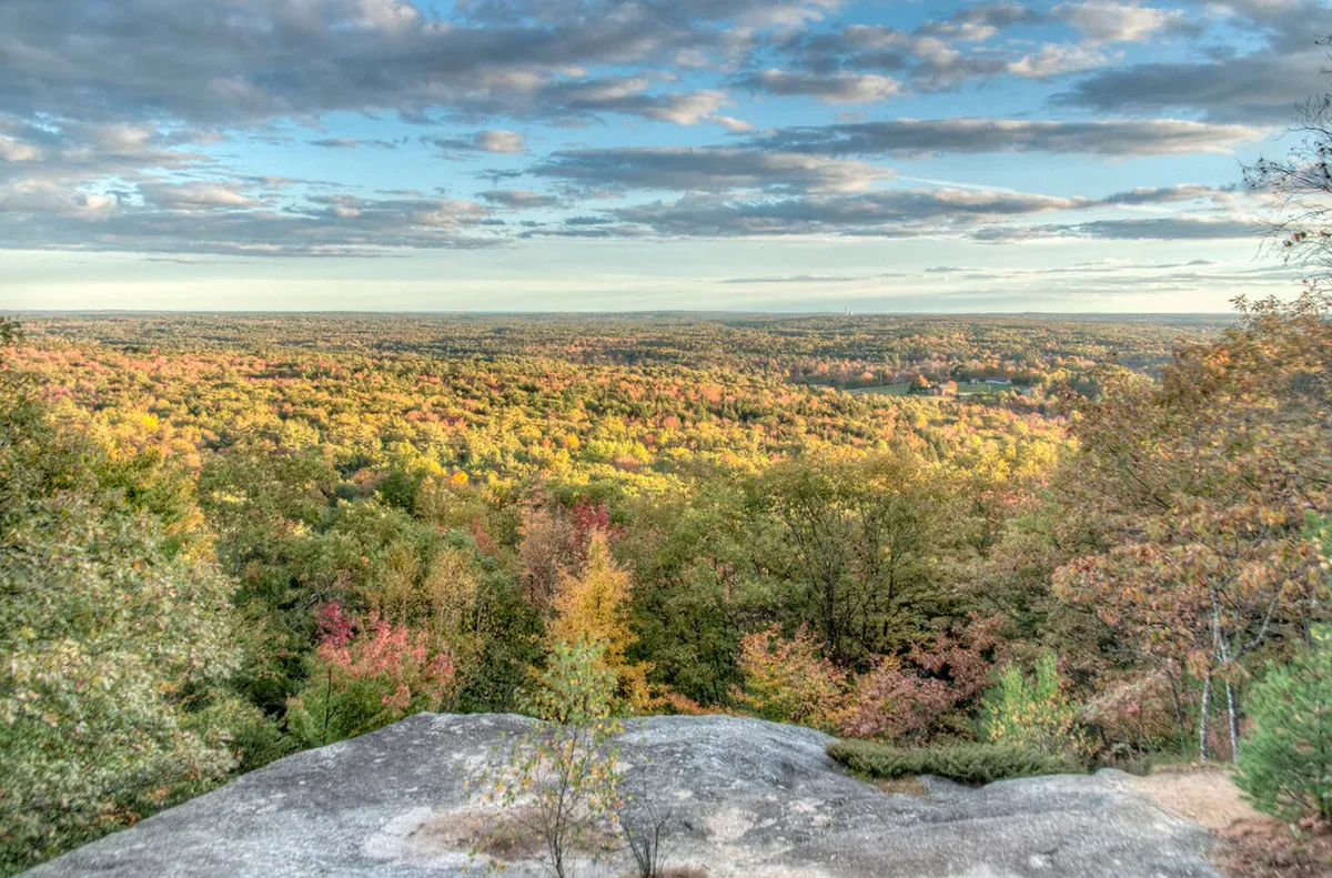
Sawyer Mountain rises 1,213 feet above the rolling countryside of Limington and Limerick, in the largest unbroken block of undeveloped forest in York and Cumberland counties. The summit is modest by northern Maine standards, but for a hike this close to Portland, the payoff is real. On clear days you can see the White Mountains of New Hampshire across the Saco River valley, with the Oxford Hills filling the middle distance and the foothills of western Maine stretching to the horizon.
The mountain is part of the Sawyer Mountain Highlands, a 1,400-acre preserve owned and managed by the Francis Small Heritage Trust. The trust has been protecting land in southern Maine since the 1990s, and Sawyer Mountain is its flagship property. The trails are well-maintained, the trailhead is easy to find, and the whole experience feels like a secret that southern Maine hikers are happy to keep to themselves.
The Trails
Several routes lead to the summit, and you can combine them into a loop.
The Sawyer Mountain Trail is the most direct path, climbing steadily through mixed hardwood forest. The footing is generally good, with a few rocky sections near the top. The trail is blazed and well-marked at intersections.
The Smith Trail starts from the back of the parking area and winds through the woods on a more gradual approach. This is the quieter option and a nice way to warm up before the steeper sections near the summit.
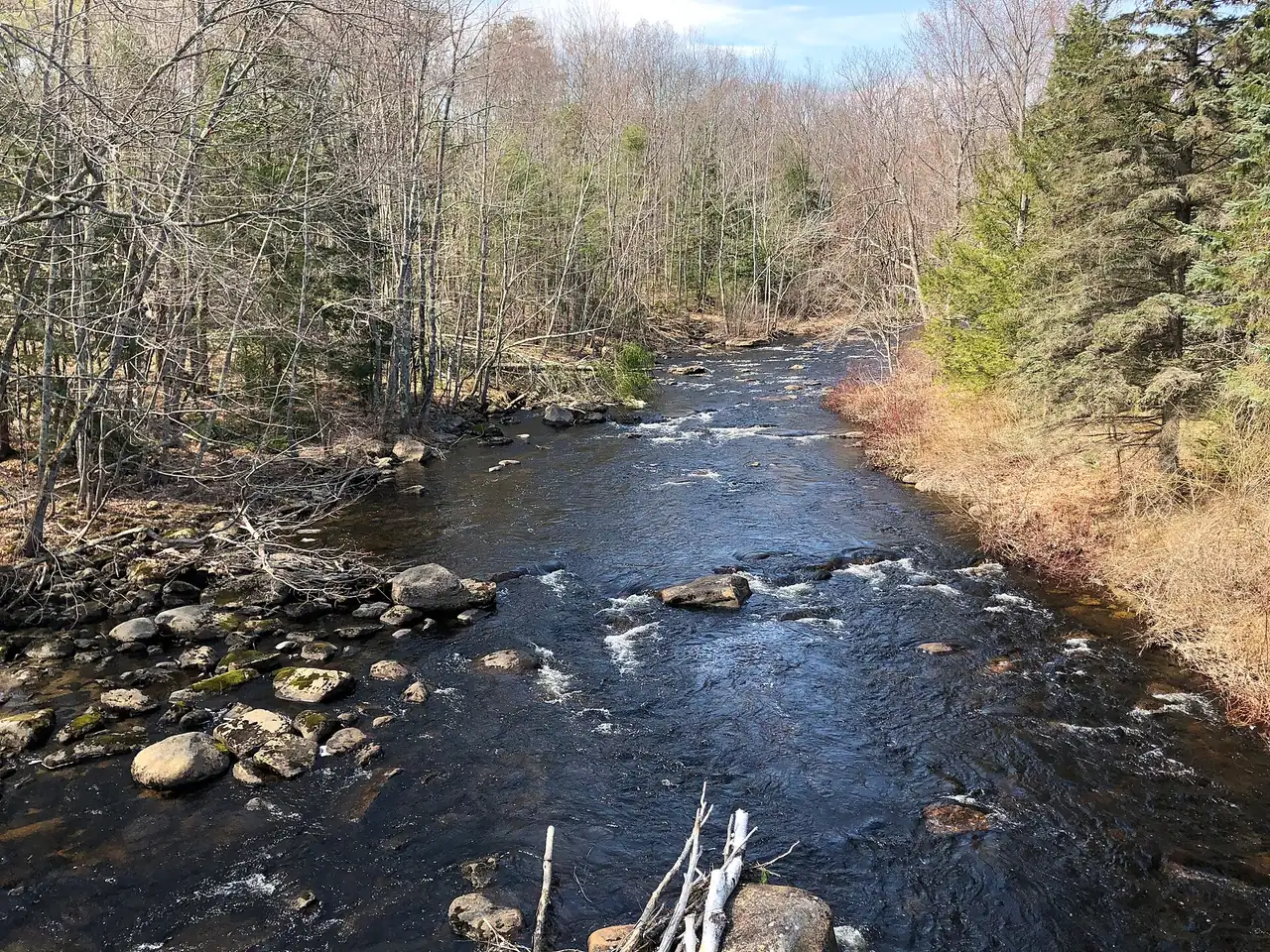
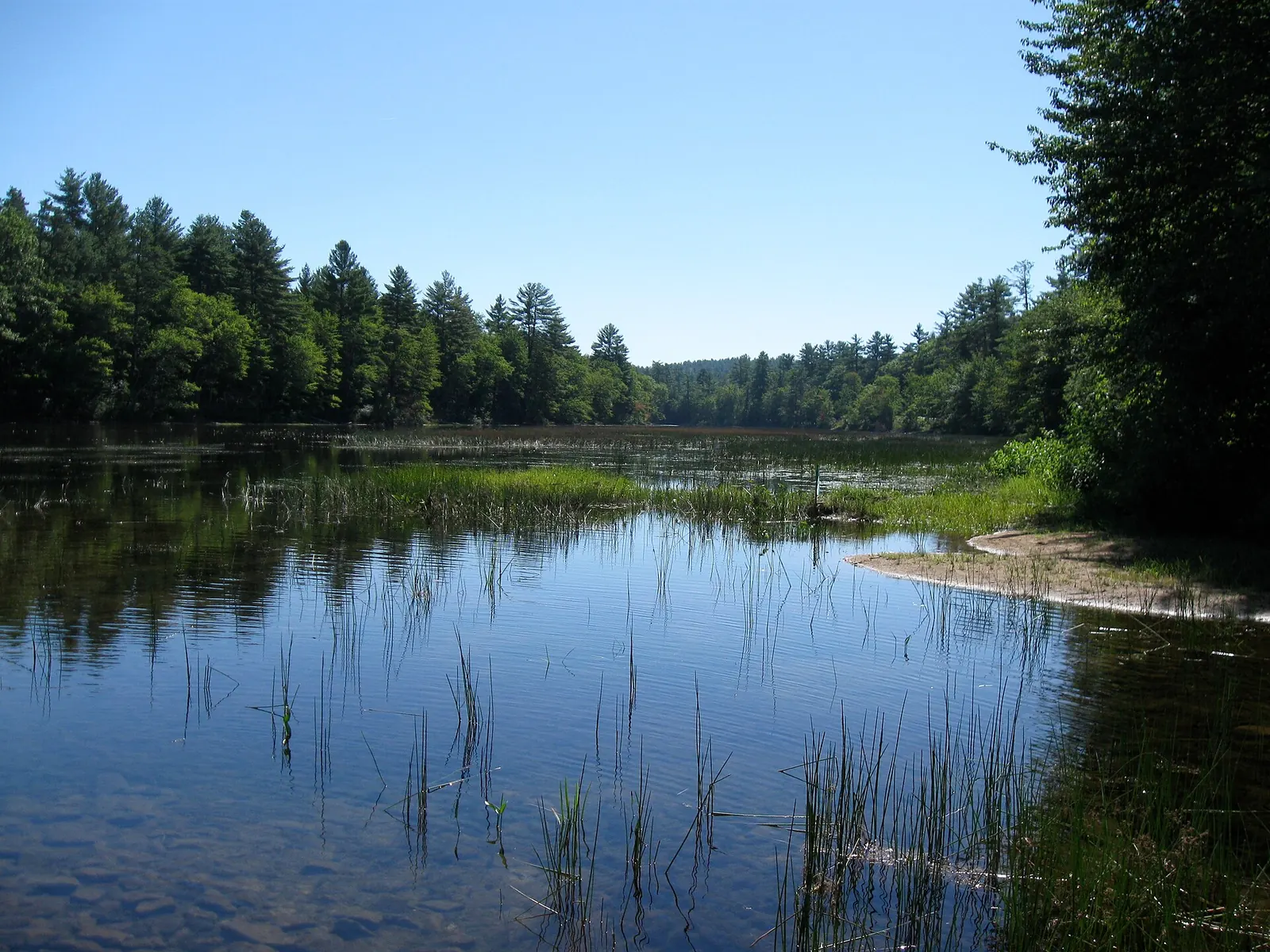
The Nature Trail, marked with blue turtles, includes interpretive stops with a brochure available at the trailhead. It covers natural features along the way, including old homestead foundations, small gorges, and wetland areas. The Estes Cemetery and the remnants of the Sawyer and Ebenezer Walker homesteads are worth a pause.
From the summit, the views open up to the south and west. The Saco River valley spreads below, and on clear days the Presidential Range of the White Mountains is visible on the western horizon.
When to Go
Spring
Muddy through April and into May. Black flies arrive in late May. Wildflowers are a nice reward if you can tolerate the bugs.
Summer
Full canopy provides shade on hot days. Bring water and bug spray. Blueberries ripen on the upper ledges in July and August.
Fall
Foliage peaks in early to mid-October. Clear air and the best views of the White Mountains. Fewer bugs, cooler temperatures.
Winter
Snowshoeing and winter hiking are popular here. Trails are not groomed. The short distance makes this a good introductory winter hike.
Fall is the standout season. The hardwood forest blazes with color, the air is crisp, and the White Mountains views are sharpest when summer haze clears out.
Practical Notes
The parking area is on Route 117 at a sharp turn, about 2.5 miles south of the junction with Route 25. There is also access from the Limerick side on Sawyer Mountain Road, 1.1 miles north of Emerys Corner. The Route 117 lot is easier to find and better marked.
Dogs are welcome on all trails and should be kept under control. The preserve has no restrooms, no trash cans, and no staffed facilities. Pack out what you bring in. Cell service is spotty at the trailhead and unreliable on the mountain.
The trails cross through habitat for a variety of wildlife including deer, moose, wild turkey, and nesting birds. The preserve is an important birding area, with species that depend on large unbroken forest blocks.
Packing List
Sawyer Mountain Day Hike
- 1 liter of water per person (short hike, but no water sources)
- Snacks for the summit
- Bug spray May through August
- Camera for the summit views
- Trail map or screenshot from the FSHT website
- Sturdy shoes (some rocky sections near the top)
Getting There
From Portland, take Route 25 West through Gorham and Standish to the junction with Route 117 in Limington. Turn south on Route 117 and drive about 2.5 miles to the trailhead parking area on the right, at a sharp curve. The drive takes about 45 minutes.
From the south, take Route 11 to Route 117 North. The trailhead is 2.4 miles north of the junction.
There are no services at the trailhead. The nearest gas and food are in Limington village or Standish.
FAQ
How long does the Sawyer Mountain hike take?
Most hikers complete the round trip in about 1 to 1.5 hours. The trails are short and the elevation gain is moderate. Add time if you explore the Nature Trail loop or linger at the summit.
Are dogs allowed on Sawyer Mountain?
Yes. Dogs are welcome on all trails in the Sawyer Mountain Highlands preserve. Keep them under voice control and clean up after them.
Is there a fee to hike Sawyer Mountain?
No. The Francis Small Heritage Trust keeps the preserve free and open to the public year-round. Donations to the trust are always appreciated.
Is Sawyer Mountain good for kids?
Yes. The short distance and moderate grade make it a solid choice for families. The Nature Trail with its blue turtle blazes and interpretive brochure is especially good for younger hikers.
Can I see the White Mountains from the summit?
On clear days, yes. The Presidential Range and other peaks in the White Mountains are visible to the west across the Saco River valley. Fall and winter offer the clearest views.
For more hiking in southern Maine, see Mount Agamenticus in York or Bradbury Mountain in Pownal.