The Best View in Downeast Maine
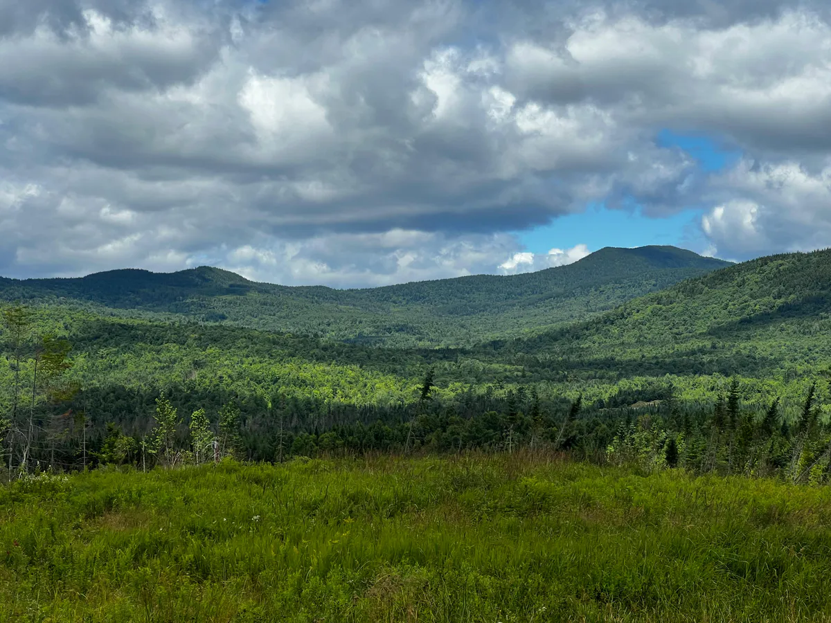
Schoodic Mountain is, summit for summit, one of the best short hikes in the state. The bare, flat summit at 1,069 feet delivers a full 360-degree panorama that takes in Donnell Pond directly below, Tunk Lake to the north, Frenchman Bay and Mount Desert Island to the west, and the open Atlantic to the south. The 2.8-mile round trip from the Schoodic Beach parking area is accessible to most hikers and offers a reward completely out of proportion to the effort.
If you only have time for one hike in the Downeast region outside of Acadia, this is the one.
The Trail
Start at the Schoodic Beach parking area at the end of Schoodic Beach Road. The trail is well-marked with blue blazes and heads east through mixed forest. The first half-mile is gentle, following relatively flat terrain through birch and spruce.
Then the climbing begins. The trail gains about 960 feet over the remaining distance, steepening as it approaches the summit. The upper section crosses open ledge marked by cairns and paint blazes. The granite is grippy in dry conditions but slick when wet.
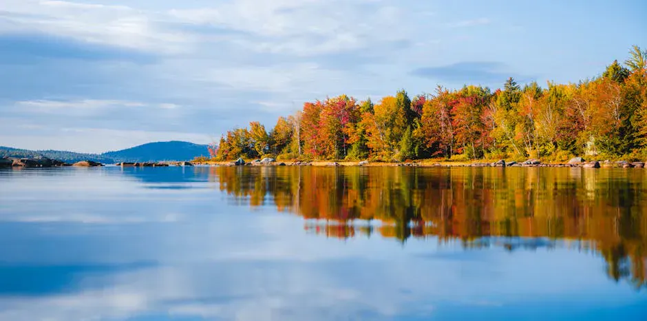
The summit is bare rock with low scrub, wide open in every direction. There is no shelter from wind, but the complete absence of trees means the view is uninterrupted. Donnell Pond sits directly below the southern face, its clear water visible in detail. The islands of Frenchman Bay and the peaks of Acadia form the western horizon.
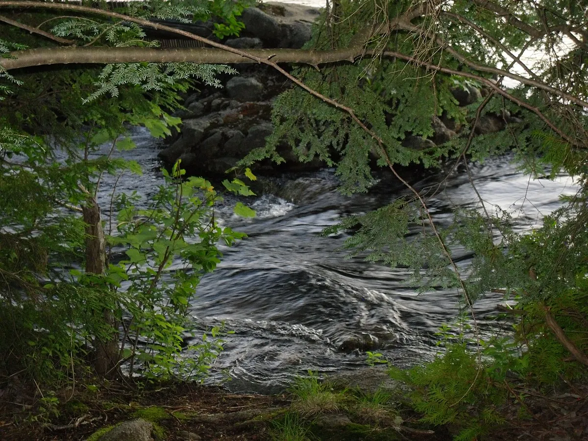
After the hike, drive down to Schoodic Beach on Donnell Pond for a swim. The sand beach is one of the best freshwater swimming spots in the Downeast region, and it is right at the trailhead parking area.
Summit Views
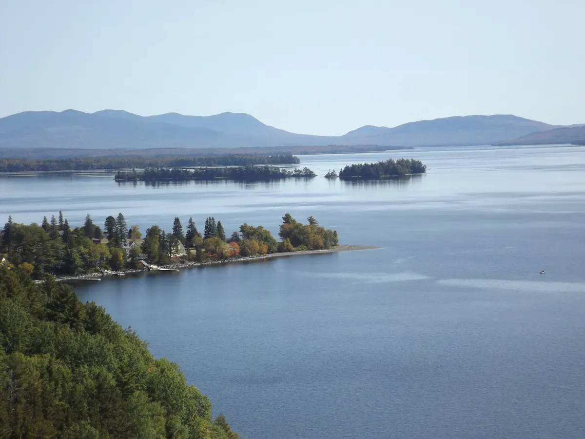
The 360-degree view is the draw. Starting north: Tunk Mountain and the Donnell Pond highlands. East: the Downeast blueberry barrens and the coast toward Steuben. South: Donnell Pond below the cliffs and Frenchman Bay in the distance. West: the full profile of Mount Desert Island, including Cadillac, Sargent, and Penobscot mountains. On clear days, the detail on Mount Desert Island is remarkable from this vantage point.
When to Go
Spring
Muddy in the lower sections. The open summit dries out quickly. Black flies in June.
Summer
Warm, clear days with excellent visibility. The bare summit is hot in full sun. Swim at Schoodic Beach afterward.
Fall
The view over Donnell Pond with fall color is one of the finest autumn scenes in Downeast Maine.
Winter
Hikeable with microspikes. The bare summit is extremely exposed to wind. Dress warmly.
Practical Notes
The gravel road to the Schoodic Beach parking area is about 2.3 miles long. It is well-maintained but narrow. Drive carefully.
Dogs are allowed. No restrooms at the trailhead. Cell service is spotty. The parking area is shared with Schoodic Beach users and can fill on hot summer weekends.
Packing List
Schoodic Mountain Day Hike
- 1.5 liters of water per person
- Sturdy hiking shoes
- Sunscreen and hat for the bare summit
- Wind layer
- Snacks
- Swimsuit for Schoodic Beach afterward
- Camera
Getting There
From US Route 1 in Sullivan, turn onto Route 183 and drive about 4.5 miles south. After crossing the Down East Sunrise Trail, take the first left onto Schoodic Beach Road (gravel) and follow it 2.3 miles to the end at the parking area. From Bangor, the total drive is about 1 hour. From Ellsworth, about 20 minutes.
FAQ
How long does the Schoodic Mountain hike take?
Most hikers complete the 2.8-mile round trip in 1.5 to 2.5 hours.
Is this the same as Schoodic Point in Acadia?
No. Schoodic Mountain is in the Donnell Pond Public Lands, about 15 miles from the Schoodic section of Acadia National Park. They are separate locations.
Is the summit really completely bare?
Yes. The summit is flat, open granite with low scrub. There are no trees blocking the view in any direction.
Can I swim at Donnell Pond?
Yes. Schoodic Beach at the trailhead parking area is a sand beach on Donnell Pond with good swimming.