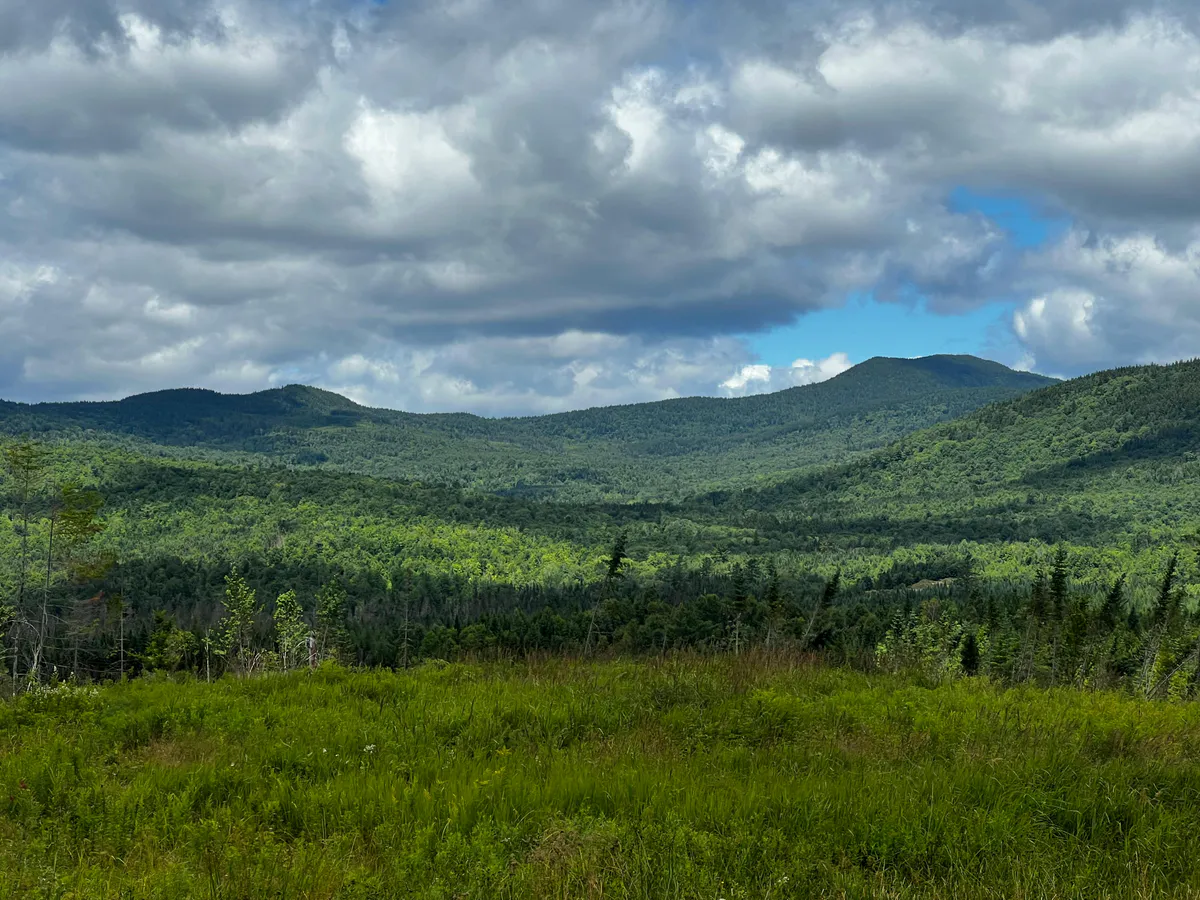
The Downeast Highlands
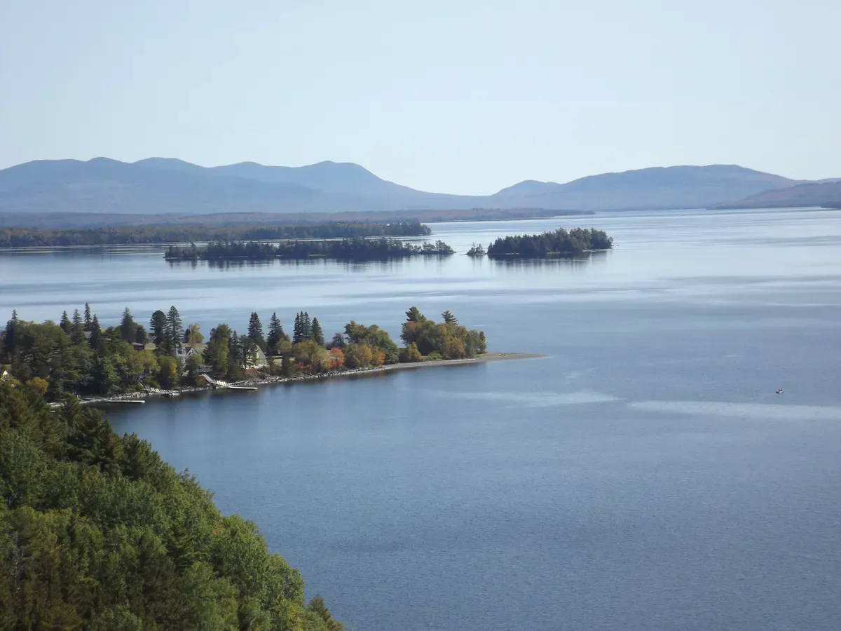
Tunk Mountain is the quiet alternative to Acadia. Located in the Donnell Pond Public Lands, a 14,000-acre tract of wild land managed by the Maine Bureau of Parks and Lands, this 3.6-mile round trip climbs to a 1,157-foot summit with views over Tunk Lake, the surrounding ponds, and the forested highlands of interior Hancock County. The upper summit area sits on land owned by The Nature Conservancy, adding an extra layer of conservation significance.
Most people driving the Blackwoods Scenic Byway (Route 182) pass right by the trailhead without knowing it is there.
The Trail
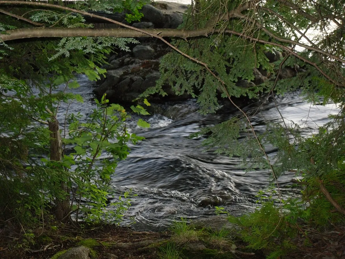
The trailhead is on Route 182, the Blackwoods Scenic Byway, in the unorganized township of T10 SD. The trail heads north from the road, climbing through mixed hardwoods and spruce. The first mile is moderate, following a well-defined path through the forest.
Above 800 feet, the trail steepens and the character changes. Open ledges appear, and the views begin to open up. The final approach to the summit crosses exposed granite with blueberry bushes and scrub spruce. Stone cairns mark the route across the open rock.
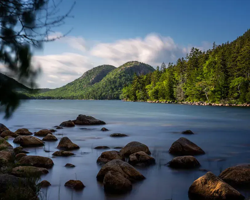
The summit ridge is broad and partially open, with the best views to the south and east. Tunk Lake stretches below, a clear, undeveloped lake surrounded by forest. To the south, the Donnell Pond area and Schoodic Mountain are visible. On clear days, you can see the ocean beyond the Schoodic Peninsula.
Combine Tunk Mountain with a hike up nearby Schoodic Mountain for a full day exploring the Donnell Pond Public Lands. The two trails are about 20 minutes apart by car.
When to Go
Spring
Muddy on the lower trail. The upper ledges dry out faster. Black flies arrive late May.
Summer
Blueberries on the summit ledges ripen in late July. Bring bug spray and sunscreen for the open areas.
Fall
Foliage over Tunk Lake is exceptional. The Blackwoods Scenic Byway is a beautiful drive in peak color.
Winter
Hikeable with microspikes. The open summit ledges can be icy.
Practical Notes
The Blackwoods Scenic Byway (Route 182) between Ellsworth and Cherryfield is one of the most underrated drives in Maine. Tunk Mountain makes a great stop on a scenic byway day trip.
Dogs are allowed. No facilities at the trailhead. Cell service is nonexistent on the mountain. The trailhead parking is a small pulloff on Route 182.
Packing List
Tunk Mountain Day Hike
- 1.5 liters of water per person
- Sturdy hiking shoes
- Bug spray
- Sunscreen for the open summit
- Snacks
- Camera
Getting There
The trailhead is on Route 182 (Blackwoods Scenic Byway) in T10 SD, about 10 miles east of Ellsworth. Look for a small parking pulloff on the north side of the road. From Bangor, the drive is about 1 hour. From Ellsworth, about 15 minutes.
FAQ
How long does the Tunk Mountain hike take?
Most hikers complete the 3.6-mile round trip in 2 to 3 hours.
What is T10 SD?
It is an unorganized township in Hancock County. Much of interior Downeast Maine is divided into unorganized townships rather than incorporated towns.
Is this part of Donnell Pond Public Lands?
Yes. Tunk Mountain is within the Donnell Pond Public Reserved Land, managed by the Maine Bureau of Parks and Lands. The summit area is owned by The Nature Conservancy.
Are there good swimming spots nearby?
Tunk Lake and Donnell Pond both have public access points for swimming and paddling.