The Tallest Peak in the 100-Mile Wilderness
Whitecap Mountain stands 3,644 feet above sea level deep in Maine’s 100-Mile Wilderness, the longest stretch of the Appalachian Trail without a road crossing. It is the highest summit between Katahdin and the Bigelow Range, and on a clear day the views from the top are among the most expansive in the state.
The mountain sits in T7 R9 NWP, deep in Piscataquis County, surrounded by unbroken forest. There are no towns, no cell towers, and no services anywhere nearby. This is genuine backcountry, and the drive to the trailhead is half the adventure. For AT thru-hikers heading north, Whitecap is often where they get their first real look at Katahdin on the horizon. For day hikers, it is one of the most rewarding and demanding outings in central Maine.
The Trail
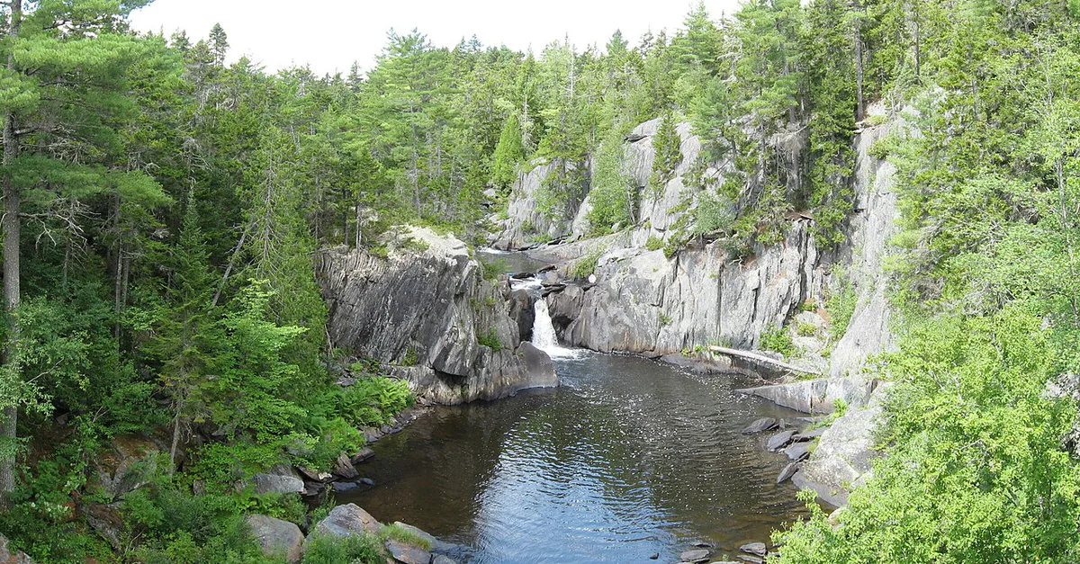
The standard route follows the Appalachian Trail from a parking area off logging roads near the White Brook trailhead. The hike covers roughly 7.7 miles round trip with about 2,700 feet of elevation gain. The first few miles climb steadily through mixed hardwood and spruce forest, crossing small brooks and working through typical AT terrain of roots and rocks.
Above 3,000 feet, the forest thins and the trail breaks into the open. The upper ridge is rocky and exposed, with scrubby spruce giving way to alpine-like conditions near the summit. The final push involves scrambling over granite ledges with views opening in every direction.
The drive to the trailhead requires navigating a network of active logging roads. From Greenville, take Lily Bay Road north about 17 miles, then turn onto Frenchtown Road and continue roughly 14 miles to the parking area near a gate. The roads are unpaved, narrow, and unsigned in places. Bring a DeLorme Maine Atlas or download GPS tracks before you leave cell range. Do not rely on phone navigation.
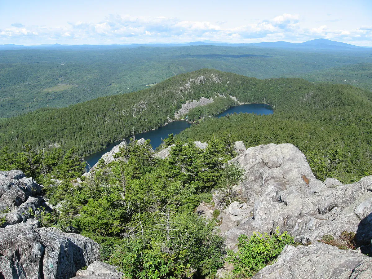
The Summit
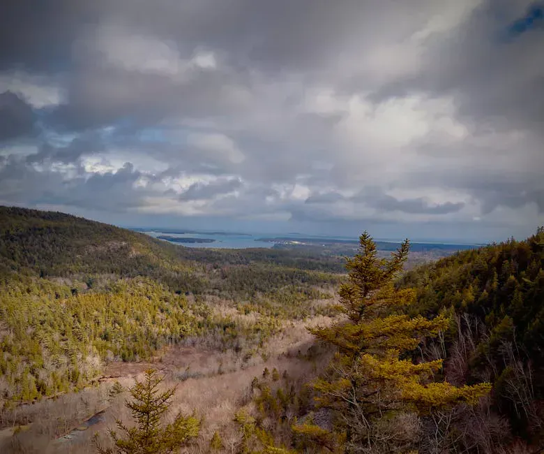
The summit of Whitecap is broad and open, with granite ledges and low scrub offering unobstructed 360-degree views. Katahdin dominates the northern horizon, rising unmistakably above the surrounding ridges. To the south, the Barren-Chairback range stretches along the AT corridor. To the west, the lakes and hills around Moosehead Lake are visible on clear days.
The alpine character of the summit is striking. Wind-stunted spruce, exposed rock, and the sheer scale of unbroken forest below give the top of Whitecap a feel more like the Presidential Range than most Maine summits. It is fully exposed to weather, so plan accordingly.
AT thru-hikers often camp at Logan Brook Lean-to or Sidney Tappan Campsite, both within a few miles of the summit. Day hikers should plan for a full-day outing. Start early, especially in summer, to allow time for the long drive and the hike itself.
When to Go
Spring
Snow lingers on the upper mountain into May. Logging roads may be gated or impassable during mud season. Blackflies arrive late May.
Summer
Best access window. Long days allow a comfortable pace. Bring bug spray through July. Start early to beat afternoon haze.
Fall
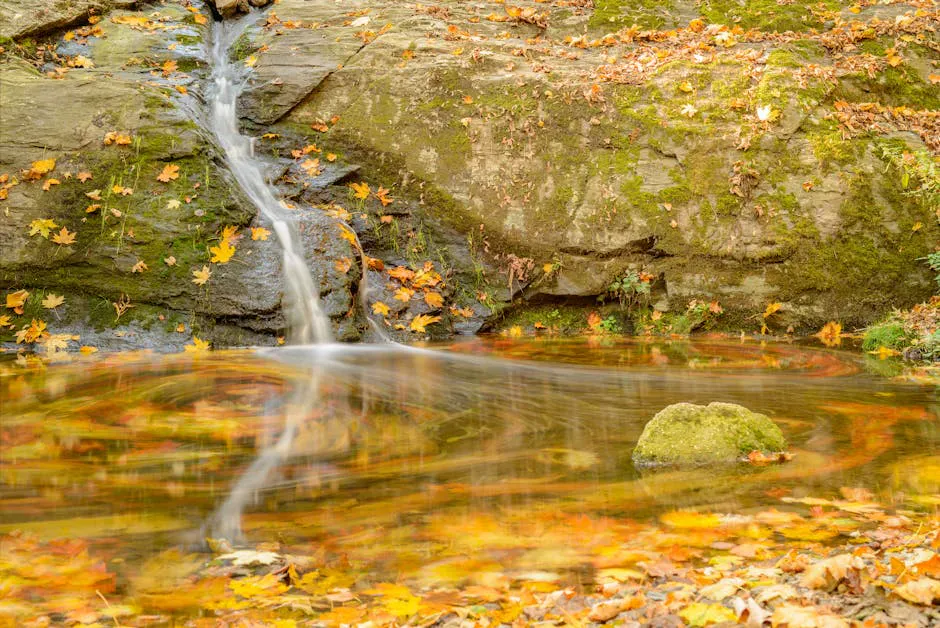
Foliage in the surrounding forest is spectacular from late September. Clear air gives the sharpest views of Katahdin. Cool temps and no bugs.
Winter
Accessible only by snowmobile or ski. The logging roads are not plowed. A serious winter mountaineering objective.
Practical Notes
There is no cell service anywhere near the trailhead or on the mountain. The nearest town with services is Greenville, about an hour’s drive south on logging roads. Top off your gas tank, fill water bottles, and bring everything you need before driving in. There is no water source on the upper mountain, so carry at least 2 to 3 liters per person.
The logging roads are shared with active truck traffic. Drive with headlights on and yield to loaded trucks. Some roads may be gated seasonally.
The White Brook approach is the shortest day-hike route to the summit. Some hikers also access Whitecap via the AT from the south, starting near Gulf Hagas, but this adds significant distance and makes it a two-day trip for most.
Packing List
Whitecap Mountain Day Hike
- 2 to 3 liters of water per person (no reliable water on upper mountain)
- Lunch and snacks for a full day
- Map and compass or GPS (no cell service)
- Bug spray (essential June through July)
- Wind layer for the exposed summit
- Rain jacket (weather changes fast at 3,600 feet)
- Sturdy hiking boots (rocky trail with scrambles)
- Headlamp (in case the drive back takes longer than expected)
- Full tank of gas before leaving Greenville
Getting There
From Greenville, drive north on Lily Bay Road for approximately 17 miles. Turn right onto Frenchtown Road and follow it without turning off any side roads for about 14 miles to the trailhead parking area near a gate. The total drive from Greenville takes roughly 45 minutes to an hour depending on road conditions. From Bangor, the drive to Greenville takes about 1.5 hours, making the total drive to the trailhead around 2.5 hours.
There is no fuel, food, or services between Greenville and the trailhead. Plan accordingly.
FAQ
How long does the Whitecap Mountain hike take?
Most hikers need 5 to 7 hours round trip depending on pace and time spent on the summit. The 7.7-mile route with 2,700 feet of elevation gain is steady and the rocky upper section slows the pace.
Can I see Katahdin from the summit?
Yes. On clear days, Katahdin is clearly visible to the north and is the dominant feature on the horizon. The view is one of the best perspectives of Katahdin outside of Baxter State Park.
Is the trailhead hard to find?
Yes. It requires driving on unmarked logging roads for about 14 miles from Lily Bay Road. Bring a DeLorme Maine Atlas or GPS tracks. Do not rely on cell phone navigation as there is no service.
Are dogs allowed?
Yes. The trail crosses private timberland and the AT, and dogs are permitted. Keep them under control and carry enough water for them as well.
Is this an Appalachian Trail hike?
Yes. The route follows the AT to the summit. Whitecap is the highest point in the 100-Mile Wilderness section of the Appalachian Trail, between Katahdin and Monson.