The Big Water of the Rangeley Chain
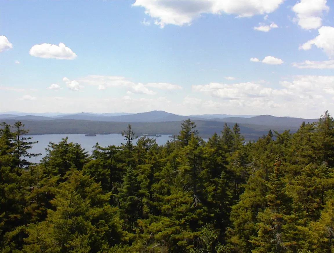
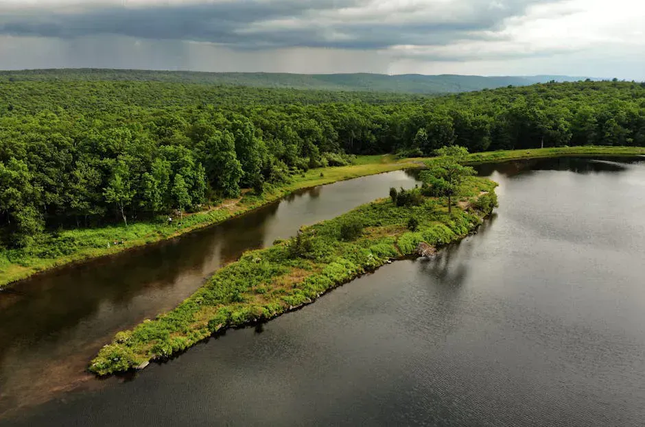
Mooselookmeguntic Lake is 16,300 acres of deep, cold water in the center of the Rangeley Lakes region. The name comes from the Abenaki language and roughly translates to “moose feeding place,” which tells you something about the country surrounding it. At a surface elevation of 1,467 feet, this is high-altitude lake fishing and paddling with a wilderness feel that bigger, more accessible lakes cannot match.
The lake stretches roughly nine miles long and reaches a maximum depth of 139 feet, with a mean depth of 60 feet. That depth keeps water temperatures cold enough for brook trout and landlocked salmon to thrive all summer. Combined with neighboring Rangeley Lake, Upper Richardson Lake, and Lower Richardson Lake, Mooselookmeguntic is part of a connected chain that drains into the Androscoggin River.
Mooselookmeguntic is large enough to build serious waves in wind. Whitecaps and 2-3 foot swells are common on windy afternoons. Small boats and kayaks should stay close to shore and watch the forecast. The lake has claimed boats and lives over the years.
Fishing Mooselookmeguntic
This is one of the premier fishing lakes in Maine. The Rangeley region built its reputation on brook trout fishing in the late 1800s, and Mooselookmeguntic remains a centerpiece of that tradition. Landlocked salmon, brook trout, and lake trout (togue) are the primary game fish.
| Species | Best Season | Method | Where on Lake |
|---|---|---|---|
| Landlocked Salmon | May-June, September-October | Trolling streamers, fly fishing | Open water, near tributary inlets, Haines Landing area |
| Brook Trout | May-June, September | Fly fishing, small streamers | Tributary mouths, Cupsuptic inlet, shallow coves |
| Lake Trout (Togue) | Summer (deep), winter (ice) | Downriggers, lead-core line, tip-ups | Deep basins 60-100+ feet |
| Yellow Perch | Year-round | Worms, small jigs | Shallow bays, weed edges |
Spring fishing after ice-out (typically mid-May at this elevation) is exceptional. Salmon and brook trout cruise the shallows and stack up near tributary mouths. The Cupsuptic River inlet on the north end is a legendary spot. As water warms in summer, cold-water species go deep and trolling with lead-core line or downriggers becomes the primary method.
The Cupsuptic River inlet is fly-fishing-only water and produces some of the best brook trout fishing in the state. Check current IF&W regulations for special rules in this area.
Ice fishing runs from late December through March. Togue fishing through the ice is productive, especially in the deeper basins toward the center of the lake.
A Maine fishing license is required for anyone 16 and older.
Boat Launches
Mooselookmeguntic has three public launch points:
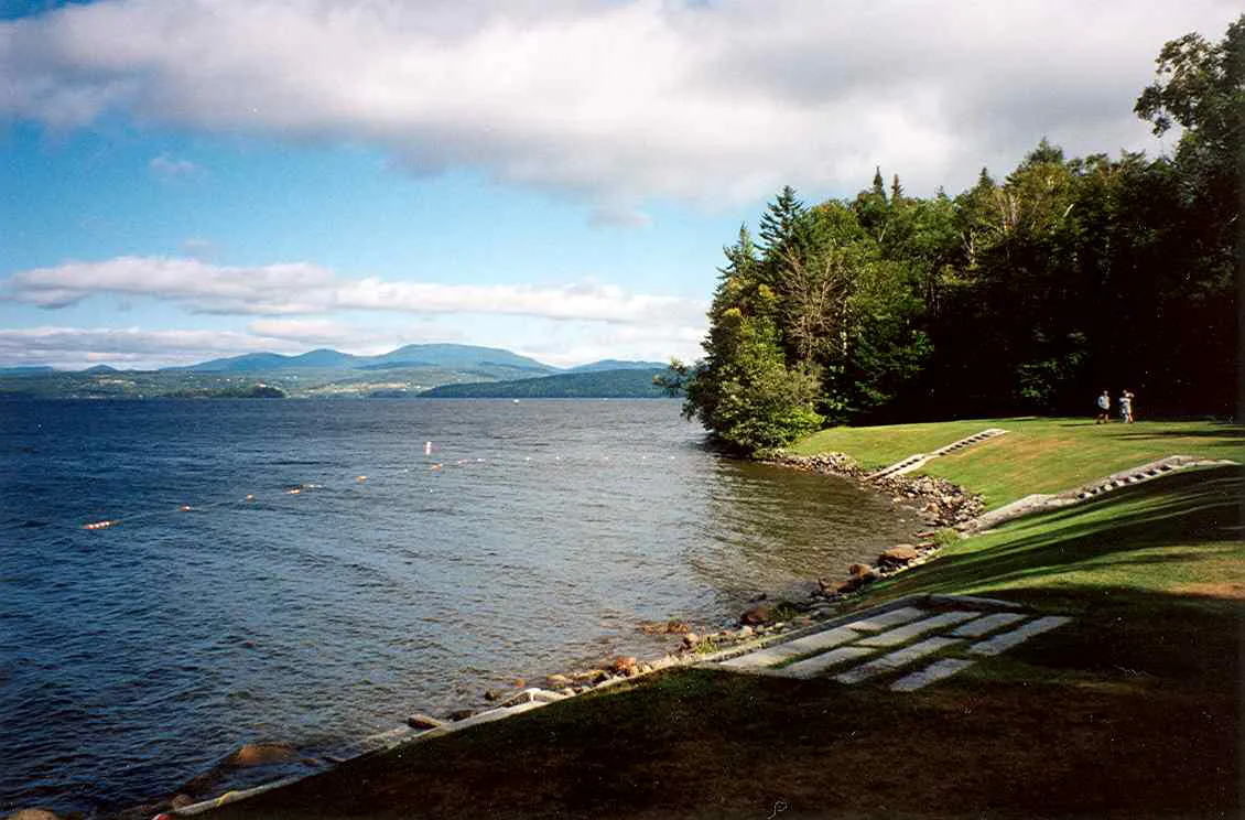
- Haines Landing (Oquossoc): The primary launch at the end of Route 4 in Oquossoc. Paved ramp with parking for trucks and trailers. This is the most popular access point and can get busy on summer weekends.
- Upper Dam Road: A state ramp on the western shore near Upper Dam. More remote, less crowded. Good access to the southern end of the lake.
- Bemis Road: Access from the eastern shore. Rougher road but puts you in less-trafficked water.
Launch from Upper Dam Road if you want solitude. Most boat traffic concentrates around Haines Landing and the northern end. The southern stretches feel genuinely remote.
Paddling
Mooselookmeguntic rewards experienced paddlers who respect the conditions. The shoreline is almost entirely forested and undeveloped, and paddling the coves and inlets feels like backcountry travel. Several small islands offer rest stops and lunch spots.
This is not a beginner paddling lake. The open fetch is long enough to build significant waves, and afternoon thermals create gusty conditions that can catch paddlers off guard. Stick to mornings, stay within reach of shore, and carry a PFD at all times.
For calmer paddling in the Rangeley area, consider the Cupsuptic River or the sheltered coves on the north end of the lake.
Swimming
Mooselookmeguntic is swimmable but cold. The surface temperature reaches the low to mid-60s in August at best. There are no formal beaches or designated swimming areas. Most swimming happens from shoreline access points or off boats. The rocky shoreline makes wading tricky in many spots.
For a proper beach experience, Rangeley Lake State Park on nearby Rangeley Lake has a sandy beach and is a short drive from any Mooselookmeguntic access point.
Where to Stay
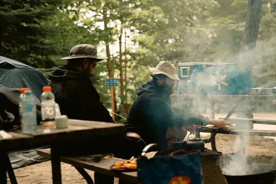
The Rangeley area has lodging options ranging from rustic sporting camps to full-service inns:
- Sporting camps: Several traditional sporting camps on or near the lake offer cabins, guided fishing, and meals. This is the classic Rangeley experience.
- Rangeley village: Hotels, motels, and vacation rentals in the town of Rangeley, about 10 minutes from Haines Landing.
- Campgrounds: Several private campgrounds in the area. Rangeley Lake State Park has campsites on Rangeley Lake.
Planning Your Visit
Spring
Ice-out mid-May. Prime fishing season begins. Blackflies peak late May through mid-June. Many services reopen.
Summer
Warmest water and longest days. Best paddling conditions in mornings. Peak tourist season in Rangeley.
Fall
Foliage peaks late September to early October. Excellent salmon fishing. Fewer visitors. Cool, clear days.
Winter
Ice fishing for togue and salmon. Snowmobiling in the Rangeley trail network. Cold and remote. Limited services.
Mooselookmeguntic Trip Packing List
- PFD (required for all paddlers)
- Layers and wind protection
- Rain gear (weather changes fast at elevation)
- Fishing gear and Maine fishing license
- Bug spray (blackflies June, mosquitoes July)
- Binoculars for wildlife spotting
- Paper map of the Rangeley region
- Sunscreen and sunglasses
Getting There
Mooselookmeguntic Lake is about 2 hours and 45 minutes from Portland and about 2 hours and 30 minutes from Bangor. Take Route 4 north through Farmington to Rangeley. The village of Oquossoc, at the outlet of the lake, is the main access hub.
Cell service is spotty throughout the Rangeley region. Verizon is the most reliable carrier. Do not depend on your phone for navigation once you leave Route 4. Download maps before your trip.
Gas and supplies are available in Rangeley village. There are no services on the lake itself.
FAQ
How do you pronounce Mooselookmeguntic?
MOOSE-look-meh-GUN-tick. Locals often shorten it to 'Mooselook.' The name is Abenaki and roughly translates to 'moose feeding place.'
Is Mooselookmeguntic good for kayaking?
Yes, for experienced paddlers. The shoreline is remote and beautiful, but the lake builds serious waves in wind. Paddle in the morning before thermals pick up, stay near shore, and always wear a PFD.
What fish are in Mooselookmeguntic Lake?
Landlocked salmon, brook trout, lake trout (togue), and yellow perch. The lake is one of Maine's premier cold-water fishing destinations. Spring and fall are the best seasons for salmon and trout.
Is there a swimming beach on Mooselookmeguntic?
No formal beaches. Swimming is possible from shoreline access points, but the water is cold (low to mid-60s in summer) and the shore is mostly rocky. For a sandy beach, head to nearby Rangeley Lake State Park.
Where is the best boat launch on Mooselookmeguntic?
Haines Landing in Oquossoc is the primary launch with a paved ramp and parking. Upper Dam Road on the western shore is less crowded and provides access to the quieter southern end of the lake.