The Crown of Maine’s Quiet River
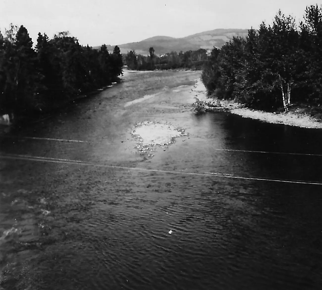
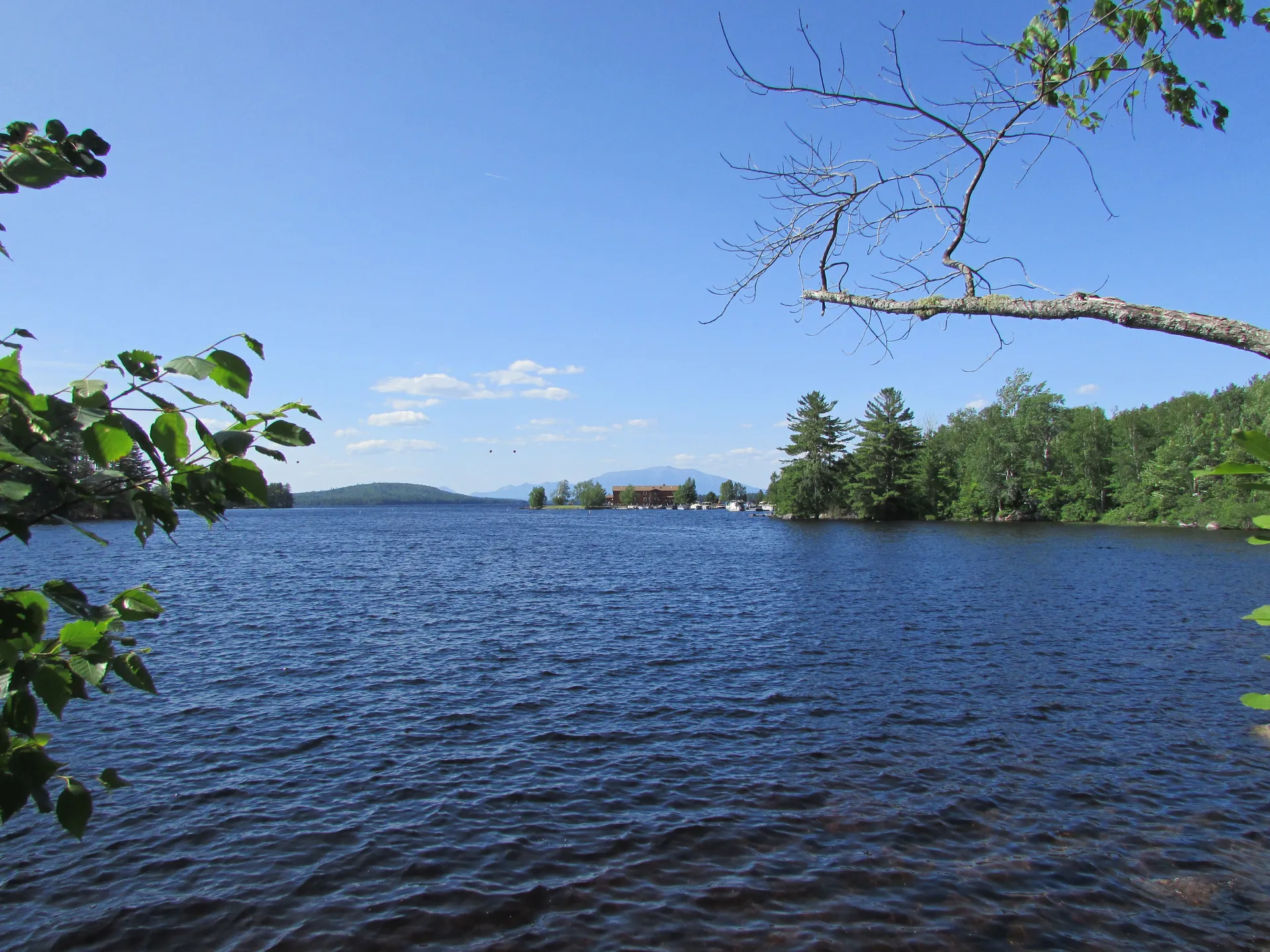
The Aroostook River winds more than 60 miles through the rolling farmland and dense forests of northern Aroostook County, the largest and least populated county east of the Mississippi. This is not a whitewater destination or a famous trout stream. It is a long, gentle flatwater paddle through a landscape that feels more like the Canadian prairies than typical New England, with potato fields stretching to the horizon, farm roads instead of highways, and bald eagles circling overhead so frequently that you stop counting.
The river begins well upstream of the farm country, in township T8 R8 WELS, where Munsungan Stream and Millinocket Stream meet deep in the North Maine Woods. From there it flows north and east past Masardis, Ashland, and Washburn on its way to Presque Isle, Caribou, and Fort Fairfield.
For paddlers, the river breaks into day-length segments between boat launches. The two upper segments covered here run 11.6 miles from Masardis down to Ashland and 21 miles from Ashland down to Washburn, and Maine Trail Finder rates both Level 2: mostly gentle water, with gentle rips above Ashland and some Class I and II rips below it.
What sets the Aroostook apart from every other river in this guide is the raptor population. Bald eagle and osprey nesting density along the Aroostook River corridor is among the highest in the state. On a single day paddle of 15 miles, you may see a dozen or more bald eagles and nearly as many osprey. The nests are visible in the tall dead pines that line the banks, and the birds fish actively along the river, diving for suckers and chub. A good pair of binoculars turns distant specks into close looks at hunting raptors.
Keep binoculars handy and scan the tall dead trees along the riverbank. Both bald eagle and osprey nests are massive, conspicuous stick structures that are hard to miss once you start looking. The Masardis to Ashland stretch, with its islands and backwater channels, is a good place to start. June and July are the best months because the adults are actively feeding chicks and making frequent fishing runs along the river.
Paddling the River
The river flows north from Masardis to Ashland, then on toward Washburn, so the day segments run in that order:
Masardis to Ashland (11.6 miles): The put-in is the public boat launch at the end of River Road in Masardis, just below the confluence with St. Croix Stream. The river winds through farmland and forest with islands and backwater channels, passing the Pollard Flat and Butler Island wildlife management areas. The water is mostly flat, with gentle rips in the last mile. Watch for otter, beaver, waterfowl, and moose. It is best run by canoe at high to moderate water, and kayaks can usually get through in summer except in extremely low water.
Ashland to Washburn (21 miles): From the Fish and Game Club boat launch in Ashland, the river runs through a mix of farms and woodlands to the boat launch in Washburn. Expect mostly gentle water with some Class I and II rips. It is canoeable at high to moderate levels and can be kayaked in summer with a little work. Early in the season, the brook trout fishing on this stretch is good to excellent.
Below Washburn, further mapped segments continue to Presque Isle, Caribou, and Fort Fairfield. Each segment is one-way, so plan on two cars or another way to get back to your put-in.
The Aroostook River flows through sparsely populated country. Between Ashland and Washburn, towns are small and services are limited. There is no cell service along much of the river. Carry all food, water, and emergency supplies. Let someone know your float plan before launching.
Wildlife and Fishing
Beyond the eagles and osprey, the Aroostook River corridor supports a wide range of wildlife. White-tailed deer come to the river to drink at dawn. Black bears are present but rarely seen from the water. Great blue herons, kingfishers, and mergansers fish the shallows. Moose are occasionally spotted in the more forested upstream sections near Ashland.
The fishing is good for smallmouth bass, which grow well in the Aroostook’s warm, rocky water. The bass are not large by southern standards, but they are abundant and willing, so stow fishing gear in the boat. Brook trout are found in the cooler tributary streams that feed the main river. Chain pickerel, white perch, and yellow perch round out the panfish options.
Ashland is the last town with reliable services before you launch. Fill your gas tank, grab food, and pick up ice for a cooler. The Ashland Trading Post has basic supplies. If you need camping gear or fishing tackle, stock up in Presque Isle (30 miles east) before heading to the river.
When to Go
Spring
High water from snowmelt makes paddling fast but cold. Ice-out is typically mid to late April. Eagles are on nests.
Summer
Warm weather, manageable water levels, peak eagle and osprey activity. June and July are best for nest viewing. Blackflies subside by mid-July.
Fall
Cool nights, warm days. Potato harvest brings farm activity to the river corridor. Foliage peaks late September. Eagles are still present.
Winter
River freezes by December. Not a winter paddling destination. Eagles winter along the coast.
Summer is the prime season for the Aroostook River. June and July offer the best eagle and osprey viewing as adults are actively feeding chicks. August brings the warmest water and best swimming. September and October offer fall color and cooler, bug-free paddling.
Packing List
Aroostook River Paddle
- Canoe or kayak (flatwater boat suitable for multi-day gear)
- PFD/life jacket
- Binoculars (essential for eagle and osprey viewing)
- Camera with telephoto lens
- Dry bags for gear and electronics
- Tent and sleeping gear if doing an overnight
- Water filter or purification (no potable water on the river)
- Fishing rod and Maine license (excellent smallmouth bass)
- Bug spray (black flies in June, mosquitoes all summer)
- Sunscreen and hat (limited shade on farm-bordered sections)
Getting There
Ashland is on Route 11 in northern Aroostook County, about 55 miles north of Millinocket. From Bangor, take Interstate 95 north to Houlton, then Route 1 north to Presque Isle and Route 163 west to Ashland, about 2.5 to 3 hours. From Portland, expect a 5.5-hour drive via Interstate 95.
For the Masardis put-in, drive south on ME-11 from ME-163 in Ashland for 9 miles to River Road, and follow it about 400 feet to the boat launch. The Ashland launch, which ends the Masardis run and starts the Washburn run, is at the Fish and Game Club on ME-11, about a mile north of ME-163 on the east side of the river. The Washburn take-out is reached from Presque Isle along Parsons Street, which follows the west side of the river for 9.3 miles to the launch, with a trailerable ramp, ample parking, and a portable toilet.
FAQ
How many bald eagles will I see on the Aroostook River?
Counts vary by day and season. The 11.6-mile run from Masardis to Ashland is a good place to look, and June and July, when adults are feeding chicks, are the best months to watch for eagles and osprey fishing along the river.
Is the Aroostook River difficult to paddle?
Not for paddlers with basic moving-water skills. Masardis to Ashland is mostly flat with gentle rips in the last mile. Ashland to Washburn is mostly gentle but has some Class I and II rips, and both segments are rated Level 2. The bigger challenge is logistics: each segment is one-way, so plan a two-car shuttle.
Can I do the Aroostook River as a day trip?
Yes. Masardis to Ashland is 11.6 miles and Ashland to Washburn is 21 miles, each one-way between boat launches. Leave a vehicle at the take-out before you launch.
Are there campsites on the Aroostook River?
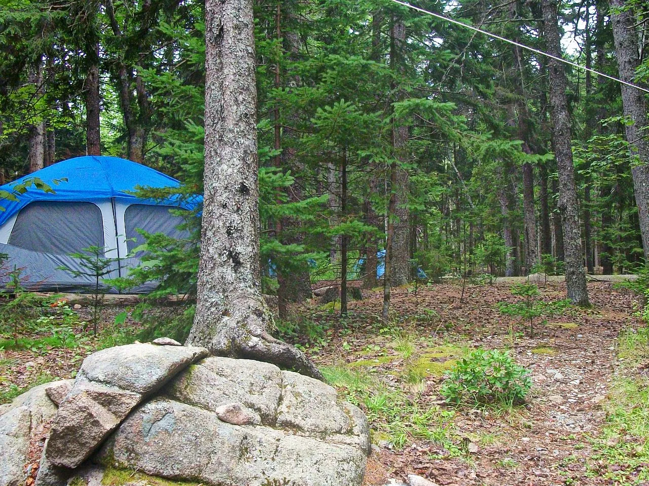
There are no developed campsites. Paddlers camp on gravel bars and open banks along the river. Some riverfront land is private farmland, so look for obvious river bars or forested banks set back from fields. Practice leave no trace.
What is the best section for eagle watching?
Start with the Masardis to Ashland run, which flows north past the Pollard Flat and Butler Island wildlife management areas. Paddle slowly and scan the tall dead trees along both banks. June and July are best when adults are actively feeding chicks.