A Slate Gorge in the Moosehead Foothills
The Piscataquis River runs through the foothills south of Moosehead Lake, and its most beloved paddling stretch is the run from Blanchard down to Abbot. It is the kind of river a lot of Maine paddlers learn moving water on: nearly continuous Class I and II rapids, fast current, and a striking slate gorge with high cliffs rising on either side. The river is shallow and remote through the gorge, with little road access until you near the Abbot take-out, so the run feels wilder and more committing than its modest length suggests.
The Piscataquis is a Class I-III river overall, flowing east through Piscataquis County toward its confluence with the Penobscot. The Blanchard-to-Abbot stretch covered here is the upper whitewater run, distinct from the gentler reaches farther downstream around Dover-Foxcroft. The slate gorge is the highlight, a quiet, cliff-walled passage that few people see except from a boat.
This is a water-dependent run. It is best in spring or after heavy rain, when the shallow riverbed has enough flow to carry a loaded canoe or kayak through the rapids. In low summer water it gets bony.
The Route
The classic run goes from Blanchard to Abbot, about 8 miles of nearly continuous Class I-II rapids, fast current, and whitewater through the slate gorge. It is best suited to intermediate paddlers comfortable in moving water.
The paddling typically begins at Barrows Falls just below Blanchard. The more difficult upper part of the falls is usually portaged, after which you enter the gorge proper, where high slate cliffs flank the river. From there the run is mostly continuous quickwater and Class I-II rapids down to the take-out near Abbot, with the river staying remote and road-free for most of its length.
Because it is shallow and level-dependent, the run is best in spring or after heavy rain. At good water it is a fun, bouncy intermediate trip; at low water it turns into a lot of scraping over slate.
The Blanchard-to-Abbot gorge is remote with little road access until Abbot, and the run depends on adequate water, which means cold spring or rain-fed flows. Portage the difficult upper part of Barrows Falls below Blanchard. Wear a helmet and PFD, dress for the cold water, paddle with others, and scout drops you cannot see from upstream.
Access Points and Put-ins
The upper put-in is at Blanchard (about 45.2672, -69.5842), where paddlers start at Barrows Falls and portage the harder upper drop before entering the gorge. The take-out is near Abbot, where road access returns. There is little access in between, which is part of what makes the gorge feel committing. Set a shuttle vehicle at Abbot before you launch at Blanchard.
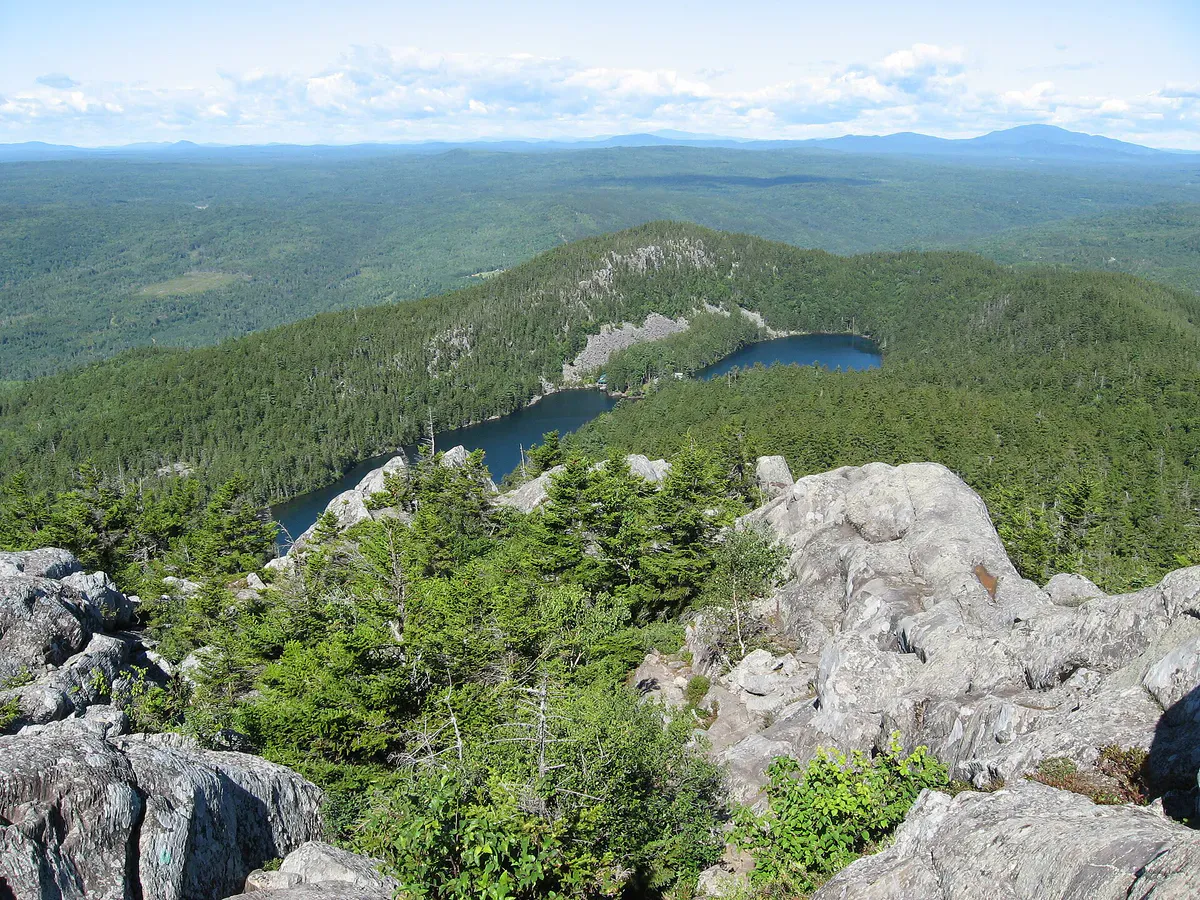
Rocky beaches & streams
Getting There
Abbot and Blanchard are in Piscataquis County, in the foothills south of Moosehead Lake. From Bangor, take I-95 to Newport, then Route 7 and Route 15 north to Guilford and Abbot, about an hour and ten minutes. From Portland, take I-95 north and follow Route 15 toward Guilford, about three and a quarter hours. Blanchard lies northwest of Abbot in the Unorganized Territory of Blanchard.
Scout and set your take-out at Abbot before driving up to the Blanchard put-in, since road access through the gorge is limited.
Run it on good water. The gorge is shallow slate, so the difference between a fun bouncy paddle and a frustrating scrape-fest is all about flow. Spring snowmelt or a day or two after heavy rain is the window. Check the river level before you make the drive, because in a dry summer this stretch is too low to be worth it.
When to Visit
Spring
Snowmelt fills the shallow gorge and the rapids run cleanly. The water is cold and pushy, so dress for immersion and bring rescue gear.
Summer
Runnable after heavy rain, but the shallow slate riverbed goes bony in dry spells. Warmer water when there is enough flow.
Fall
Foliage in the gorge is beautiful, but flows are often too low unless fall rains raise the river. Cold water.
Winter
Ice-covered and not paddleable.
Spring is the prime window, when snowmelt carries enough water through the shallow gorge for clean runs. Summer and fall are runnable only after heavy rain raises the river; in dry weather the slate riverbed is too low.
Packing List
Piscataquis River Gorge Run
- Whitewater kayak or canoe
- Helmet for the rapids
- PFD worn at all times
- Wetsuit or drysuit for cold water
- Throw rope and rescue gear
- Dry bag for a change of clothes
- Water shoes or river footwear
- Shuttle vehicle at the Abbot take-out
- Current water-level check before launching
FAQ
What is the best section of the Piscataquis River to paddle?
The Blanchard-to-Abbot run is the classic stretch, about 8 miles of nearly continuous Class I-II rapids through a striking slate gorge with high cliffs. It is the upper whitewater run, distinct from the gentler reaches downstream near Dover-Foxcroft.
How hard is the Blanchard-to-Abbot run?
It is an intermediate run with nearly continuous Class I-II rapids and fast current. Paddlers usually portage the difficult upper part of Barrows Falls below Blanchard before entering the gorge.
When can you paddle it?
It is best in spring or after heavy rain, when the shallow slate riverbed has enough water. In a dry summer the run goes bony and scrapey, so check the river level before driving out.
Is the gorge remote?
Yes. The Blanchard-to-Abbot gorge has little road access until you near Abbot, so it feels more committing than its 8-mile length suggests. Set a shuttle and paddle with others.
Where do you put in and take out?
Put in at Blanchard, starting at Barrows Falls and portaging the harder upper drop, and take out near Abbot where road access returns. Leave a shuttle vehicle at Abbot before launching.