A Quiet Mountain with Big Views
Great Pond Mountain Wildlands is 4,523 acres of conserved land in Orland, managed by the Great Pond Mountain Conservation Trust. The centerpiece is Great Pond Mountain itself, a 1,038-foot summit topped with a restored fire tower that offers one of the most expansive views in eastern Maine. On a clear day, the panorama stretches from Katahdin to the north, across Penobscot Bay to the east, and south to the Camden Hills, a 360-degree sweep that covers a vast amount of Maine geography.
The property also includes the Dead River, a scenic stream that flows through a gorge on the western edge of the wildlands. The trails here range from easy woodland walks to moderate ridge hikes, totaling about 15 miles of marked paths. The wildlands see far fewer hikers than the better-known Camden Hills or Acadia, which means the solitude-to-scenery ratio is exceptionally good.
The Conservation Trust has been assembling and protecting this land since 2005, creating one of the largest contiguous blocks of conserved land in Hancock County. The property is managed for recreation, wildlife habitat, and sustainable forestry, with the trails and fire tower open to the public free of charge.
The restored fire tower on the summit of Great Pond Mountain is climbable and adds roughly 60 feet of elevation to your view. The cab at the top has interpretive panels identifying landmarks in every direction. On a clear day, you can identify Katahdin, Blue Hill, Camden Hills, and the islands of Penobscot Bay. The tower is the highlight of the hike and worth the extra climb.
Trails
The trail system covers approximately 15 miles and is well-blazed and maintained by the Conservation Trust and volunteers.
The Summit Trail is the most popular route, climbing Great Pond Mountain from the main trailhead on Don Fish Road. The hike is roughly 3 miles round trip with about 800 feet of elevation gain. The trail passes through mixed forest before emerging onto open ledges near the summit. The final approach crosses granite slabs with blueberry bushes and low scrub, with views opening up as you climb. The fire tower sits at the top.
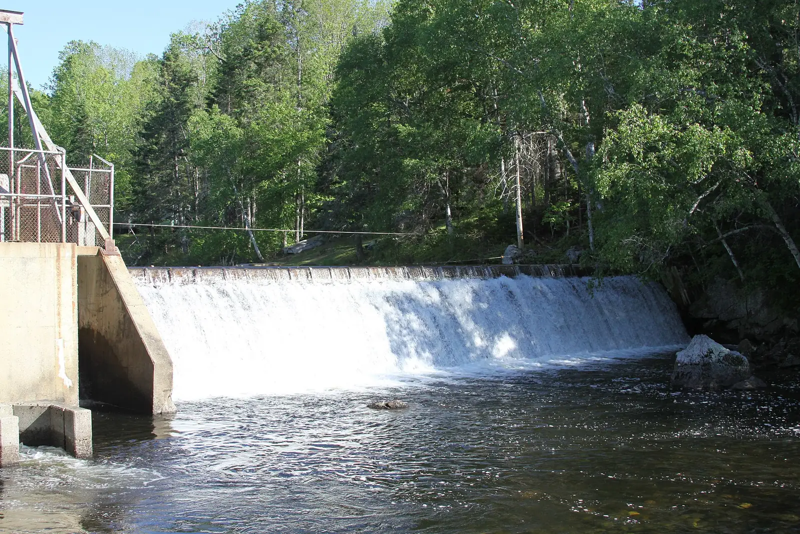
The Dead River Trail follows the Dead River through a scenic gorge on the property’s western side. The trail is relatively flat and follows the river for about two miles, passing through hemlocks and passing several swimming holes and cascading sections. This is a good option for families and anyone who prefers river scenery to summit views.
The Valley Road Trail is a wide, easy path that bisects the property and connects several other trails. It follows an old road through the forest and is suitable for mountain biking and cross-country skiing.
Several connector trails create loop options of varying lengths. The full perimeter loop covers about eight miles of moderate terrain.
While the main trails are well-blazed, some interior connector trails have less prominent markings. Carry a trail map (available at the kiosk or downloadable from the Trust website) and pay attention to blazes. The property is large enough that getting turned around in the interior is possible.
Dead River Gorge
The Dead River section of the wildlands is a hidden treasure. The river flows through a narrow gorge carved through bedrock, creating pools, cascades, and swimming holes surrounded by hemlock forest. The gorge is cool and shaded even on hot summer days, and the swimming holes are deep enough for a full immersion.
The hike to the gorge is easy, about a mile from the Valley Road trailhead on relatively flat ground. The river itself is small and gentle, suitable for wading and splashing rather than swimming in the sense of lake or ocean swimming. But on a hot July afternoon, the cold, clear pools in the hemlock shade are deeply refreshing.
The swimming hole about halfway along the Dead River Trail is the deepest and best for swimming. Look for the spot where the trail descends to the river at a large hemlock tree and a flat granite ledge extends into the pool. The water is over your head at the deepest point and the ledge is perfect for sitting and dangling your feet. Midweek in summer, you will almost certainly have it to yourself.
When to Visit
Spring
Muddy trails, especially on the summit. Dead River is high and scenic. Wildflowers emerging.
Summer
Summit blueberries, Dead River swimming holes, clearest weather. Fire tower at its best.
Fall
Outstanding foliage views from the fire tower. Cool hiking weather, fewer bugs.
Winter
Snowshoeing on the valley trails. Summit can be icy. Beautiful in snow.
Summer offers the full experience: summit hiking, fire tower views, and swimming in the Dead River. Fall is exceptional from the fire tower, with foliage stretching to the horizon in every direction. The October views from Great Pond Mountain are among the best in eastern Maine.
Practical Information
The wildlands are free to visit. The Conservation Trust welcomes donations to support trail maintenance and land protection. Trail maps are available at the main kiosk and on the Trust’s website.
Parking is at the trailheads on Don Fish Road (summit) and off the Valley Road (Dead River and interior trails). The lots are small, accommodating five to ten vehicles each.
Cell service is spotty in the wildlands. Bucksport, the nearest town with full services, is about 10 minutes away.
Packing List
Great Pond Mountain Wildlands Hike
- Sturdy hiking shoes
- Water (at least 1 liter for the summit hike)
- Snacks
- Trail map (from kiosk or downloaded)
- Camera (fire tower views are exceptional)
- Binoculars for identifying distant landmarks
- Swimsuit and towel (for Dead River in summer)
- Bug spray
- Layers (summit can be windy)
Getting There
The main trailhead for the summit is on Don Fish Road in Orland. From Bucksport, take Route 1 east and turn north on Hatchery Road (which becomes Don Fish Road). The trailhead is approximately 3 miles from Route 1, on the right. From Bangor, the drive is about 35 minutes via Route 15 to Bucksport, then Route 1 east.
From Ellsworth, take Route 1 west to Orland, about 15 minutes.
GPS coordinates for summit trailhead: 44.5650, -68.7020
FAQ
How long is the hike to the summit?
The summit trail is about 3 miles round trip with 800 feet of elevation gain. Most hikers complete it in 1.5 to 2.5 hours, including time at the fire tower.
Is the fire tower open?
Yes. The restored fire tower is open to the public and climbable. The cab at the top has interpretive panels. It is free to climb.
Can I swim in the Dead River?
Yes. The Dead River has several swimming holes suitable for wading and swimming in summer. The water is cold and clean. There are no lifeguards.
Is there a fee?
No. The Great Pond Mountain Wildlands are free to visit. Donations to the Conservation Trust are welcome.
Can I mountain bike here?
Yes. Mountain biking is allowed on the Valley Road Trail and some other wider trails. The summit trail is for foot traffic only.