One of America’s First Harbors
Seven miles off the coast of Boothbay, Damariscove Island stretches like a narrow finger pointing south into the Gulf of Maine. The island is barely half a mile wide but nearly a mile and a half long, with a deep, protected harbor on its western side that has drawn mariners for at least four centuries. English fishermen were using the harbor as a seasonal base by the early 1600s, and by 1622 a permanent fishing station was established here, making Damariscove one of the earliest European settlement sites in New England.
When the Pilgrims at Plymouth Colony faced starvation in the winter of 1622, they sent a boat to Damariscove to beg for supplies. The fishing community on this small island, already well established, provided the food that helped the struggling colony survive. That fact alone makes Damariscove one of the most historically significant pieces of land on the Maine coast, though it receives a fraction of the attention given to Plymouth itself.
Today the island is owned and managed by the Boothbay Region Land Trust. The old settlement and fishing station are gone, replaced by open meadows, rocky shoreline, and a few remaining building foundations. The island is managed as a nature preserve with a network of trails that traverse its length.
Getting There
Damariscove is accessible only by boat. There is no ferry service to the island. You need your own boat or kayak, or you need to arrange a charter from Boothbay Harbor. The crossing from Boothbay Harbor is approximately seven miles and takes 30 to 45 minutes by motorboat. The harbor on the island’s west side has a few moorings maintained by the land trust and space to anchor.
Kayaking to Damariscove is possible for experienced sea kayakers, but the crossing involves open ocean with tidal currents, fog potential, and boat traffic. This is not a beginner paddle.
Exploring the Island
The island trail system runs the length of Damariscove from the harbor to the southern tip. The trails pass through open meadows dotted with wildflowers in summer, along rocky shoreline with tide pools, and past the stone foundations of the old Coast Guard station and earlier structures.
The Harbor: The natural harbor on the west side is strikingly deep and narrow, almost fjord-like. Its protection from ocean swells made it invaluable to early mariners. Ruins of old wharves and fish stages are visible at low tide.
The Meadows: The island’s interior is open grassland, maintained naturally by salt spray and wind. In June and July, the meadows fill with wildflowers, including lupines, hawkweed, and daisies. The open terrain makes for easy walking with wide views in every direction.
The Southern Tip: The trail continues to the exposed southern end of the island, where the rocky shore meets open ocean. This is one of the most dramatic landscapes accessible by trail on the Midcoast, with views south to Monhegan Island and the limitless Atlantic.
Wildlife
Damariscove is an important seabird nesting island. Common eiders nest in the meadows and along the shore in large numbers. Black guillemots, double-crested cormorants, and various gull species also breed on the island. During nesting season (May through July), some areas may be roped off to protect ground-nesting birds.
Harbor seals haul out on the southern ledges, and gray seals are occasionally spotted in the deeper water around the island. The surrounding waters support a rich marine ecosystem, and porpoises and even whales are sometimes seen from the island’s shores.
When to Go
Summer
Best weather for the boat crossing. Wildflowers peak in late June. Seabird nesting activity. Warmest temperatures for exploring. Fog can occur any day.
Fall
Migrating birds pass through. Fewer boats in the harbor. Cooler temperatures. Weather windows for crossing become less reliable.
Spring
Early season with cold water temperatures. Seabirds arrive to nest. Crossings can be rough.
Winter
The island is technically accessible year-round but winter crossings are inadvisable for most boaters. No services, no shelter, extreme exposure.
History
The recorded history of Damariscove reaches back to at least 1614, when Captain John Smith noted the harbor during his survey of the New England coast. By 1622, the island supported a fishing station with enough surplus to aid the Pilgrims at Plymouth. Throughout the 1600s and 1700s, Damariscove was a working fishing community.
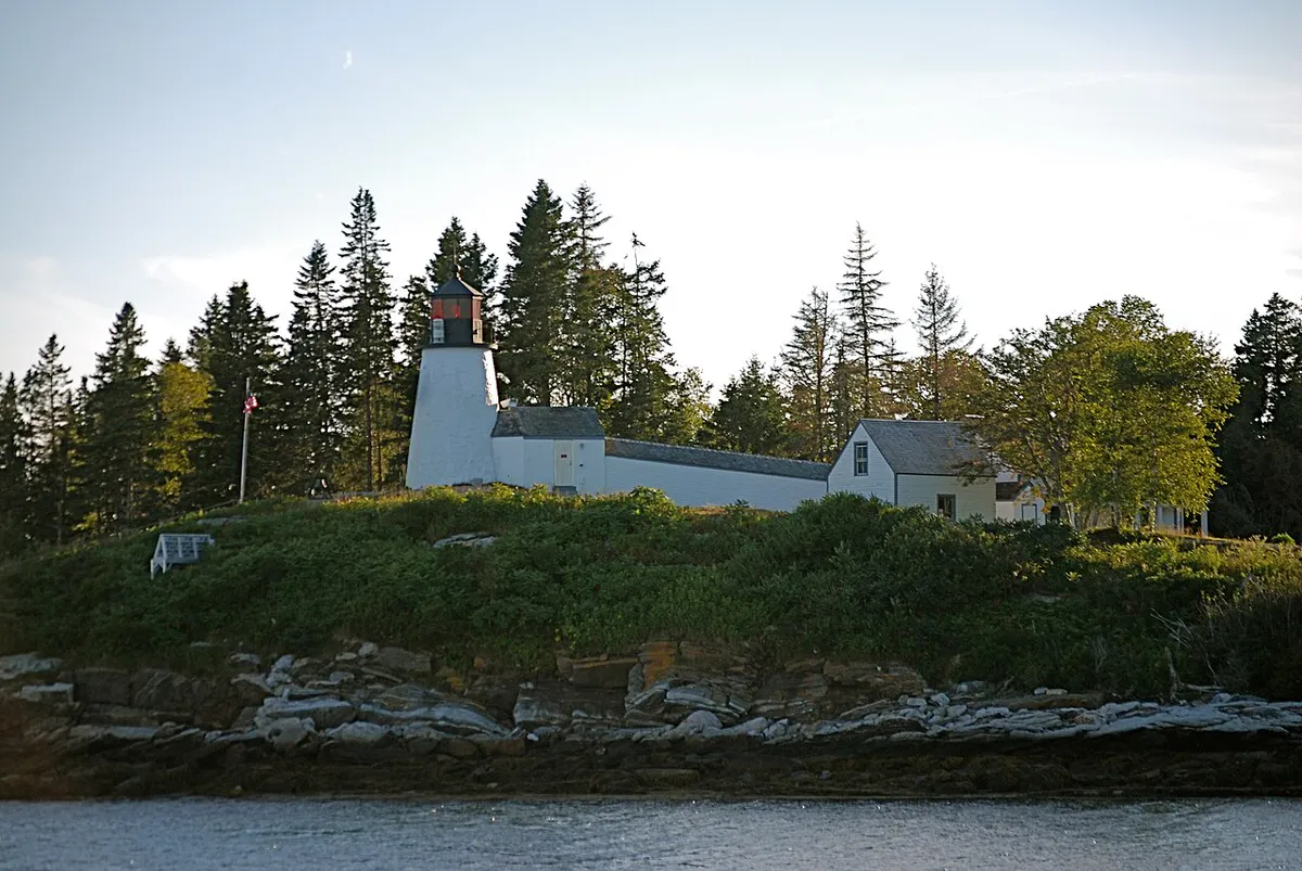
A US Coast Guard station operated on the island from the late 1800s until 1959. The concrete foundations of the station buildings are still visible near the harbor. After the Coast Guard departed, the island passed through private hands before the Boothbay Region Land Trust acquired it, preserving it as a nature and heritage site.
Checklist
What to Bring
- Arrange boat transportation well in advance
- Bring all water and food you need for the day
- Pack layers and rain gear regardless of forecast
- Sunscreen and hat for exposed meadow walking
- Binoculars for seabird and seal viewing
- Tell someone your travel plan and return time
- Check marine forecast before crossing
- Carry out all trash and waste
- Wear sturdy footwear for rocky shoreline
- Allow 3-4 hours minimum on the island
FAQ
Is there a ferry to Damariscove Island?
No. There is no scheduled ferry service. You need your own boat, a kayak (experienced paddlers only), or a charter from Boothbay Harbor. The crossing is about seven miles.
Can you camp on Damariscove Island?
No. Camping is not permitted. The island is a day-use preserve managed by the Boothbay Region Land Trust.
Are dogs allowed on Damariscove?
No. Dogs are not permitted on the island to protect nesting seabirds and other wildlife.
What is the connection between Damariscove and the Pilgrims?
In 1622, the Plymouth Colony sent a boat to Damariscove Island to request food supplies. The fishing community on Damariscove, which was already well established, provided fish and other provisions that helped the colony survive.
Is there cell phone service on the island?
No. There is no reliable cell service on Damariscove. Plan accordingly and inform someone onshore of your schedule.