The Light Above the Penobscot
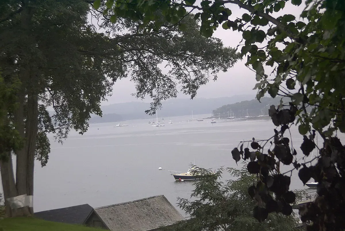
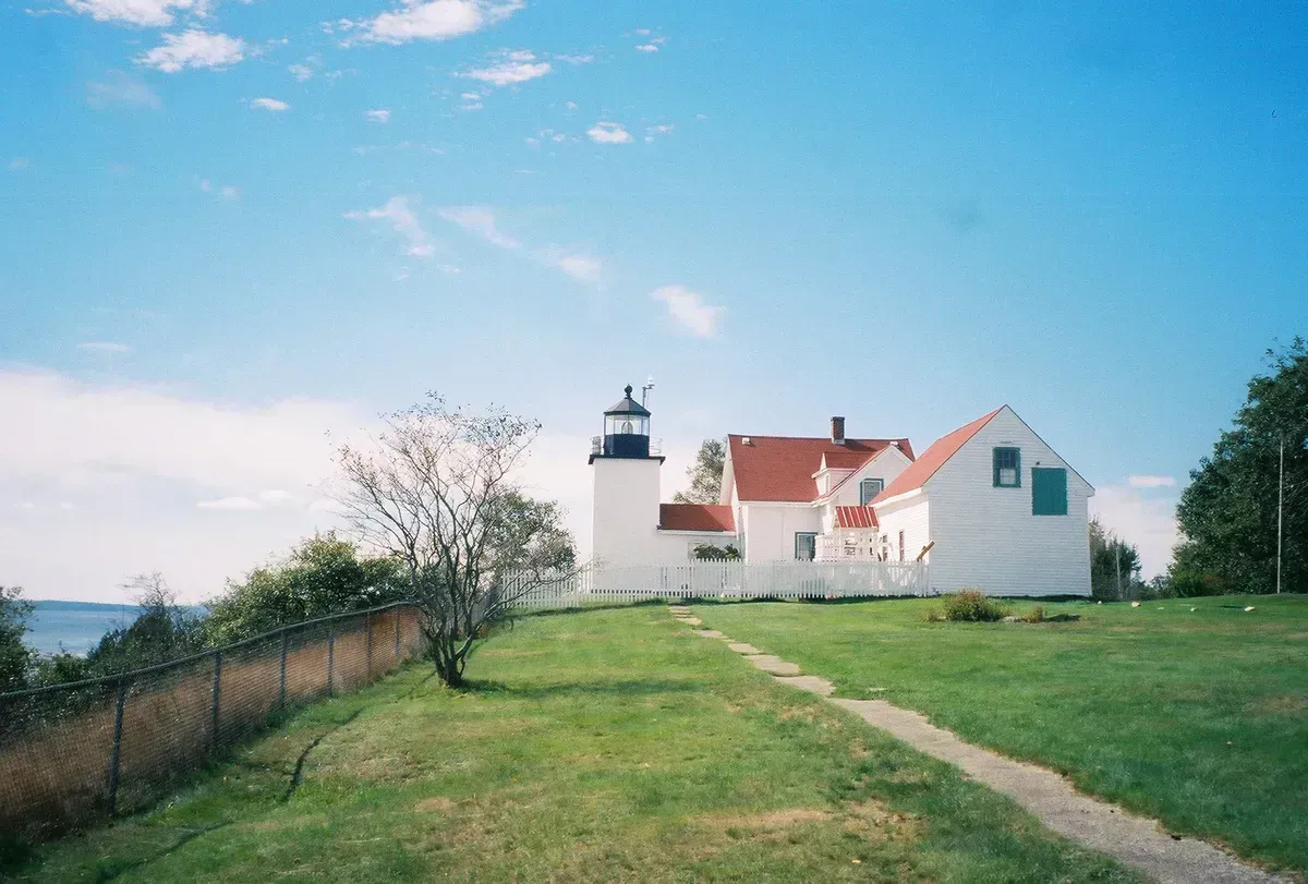
Dice Head Light stands at the southwestern tip of the Castine peninsula, on a high bluff where the Penobscot River opens into Penobscot Bay. The name is also spelled Dyce Head on older charts and on the National Register listing, but locals and the town signs use Dice Head. It is a quietly beautiful spot, set among trees at the end of a residential lane, with the water far below and the green hills of the Penobscot shore across the way.
The tower was built in 1829, making it one of the older lighthouses on the Maine coast. The rubblestone tower rises 42 feet, and because it sits on a bluff, the focal plane of the light once stood about 134 feet above the water. Twelve keepers tended the station between 1828 and 1937. The federal government deactivated the original light in 1937 in favor of a nearby skeleton tower, but after a 2007 microburst destroyed that replacement, the historic tower was relit in 2008 and serves again as an active aid to navigation. The town of Castine now owns the station.
Visiting and Viewing
Unlike the island lights farther out in the bay, Dice Head is one you can actually walk up to. The town-owned grounds are open to the public, and a short footpath lets you circle the base of the tower and take in the view over the river mouth. The tower interior and the attached keeper’s house are not open, so this is a grounds-and-views visit rather than a climb.
A steeper path drops down through the woods from the lighthouse grounds to the rocky shore at the water’s edge. It is short but can be slick and uneven, with roots and loose stone, so wear real shoes and take your time. From the shoreline you get a low-angle look up the Penobscot and out toward the bay, and it is a good spot for watching boat traffic and the occasional seal.
Wildlife & bird watching
The bluff at Dice Head is high and the shore path is steep, rocky, and slippery when wet. Keep children and dogs close near the edge above the water, and do not attempt the shore descent in icy conditions or after heavy rain.
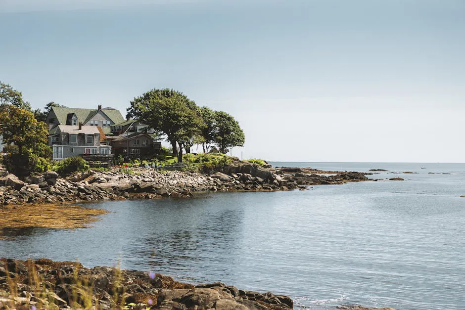
Pair the lighthouse with a slow loop through Castine village. The town is full of well-marked historic sites, big elm-shaded streets, and the waterfront, and it is one of the most walkable historic towns on the coast. Parking at the lighthouse itself is a small pull-off at the end of the lane, so be considerate of the neighbors and do not block driveways.
Getting There
Castine sits at the end of a peninsula off Route 166, reached from US Route 1 at Orland. From Bangor it is about an hour; from Portland, plan on roughly two and three quarter hours via Route 1. The drive out the peninsula is part of the appeal, with water views and the Maine Maritime Academy campus as you come into the village.
In Castine, follow Battle Avenue (Route 166) to its end at the western tip of the peninsula, where the lighthouse grounds and the small parking pull-off are. The path around the tower starts right there, and the steeper shore path leaves from the grounds.
When to Visit
Spring
Grounds reopen as the snow melts. The shore path can be muddy and slick into May, but the river views are clear and crowds are thin.
Summer
Warm, dry footing on the shore path and the full charm of Castine village. The best season for combining the light with a walking tour.
Fall
Foliage across the Penobscot shore and crisp, clear air. Quiet streets and good light for photography.
Winter
The grounds stay open and the view is stark and beautiful, but the shore path is icy and best skipped. Dress for exposed cold on the bluff.
Summer and fall give you the safest footing on the shore path and the liveliest village to explore alongside the lighthouse. The upper grounds and the view are worth a stop in any season.
Packing List
Dice Head Light Visit
- Sturdy shoes with grip for the steep shore path
- Binoculars for boat traffic on the river
- Camera
- A windbreaker (the bluff is exposed)
- Water and a snack
- A Castine village map for the historic walking loop
FAQ
Can you visit Dice Head Light?
Yes. The grounds are owned by the town of Castine and open to the public, with a short footpath around the tower. The tower interior and keeper's house are not open, but you can walk the grounds and a steeper path down to the shore.
When was Dice Head Light built?
The tower was built in 1829. The original light was deactivated in 1937, but the historic tower was relit in 2008 after a storm destroyed its replacement, and it is an active aid to navigation again.
How do you get to Dice Head Light?
Follow Battle Avenue, Route 166, to its western end in Castine. There is a small parking pull-off at the lighthouse grounds. Castine is reached from US Route 1 at Orland, about an hour from Bangor.
Is the shore path at Dice Head difficult?
It is short but steep, rocky, and slippery when wet. Wear shoes with good grip, take it slowly, and skip it in icy or very wet conditions.
What else is there to do in Castine?
Castine is one of the most historic and walkable towns on the coast, with marked historic sites, the Wilson Museum, the Maine Maritime Academy waterfront, and big shaded streets to stroll.
Down the bay you can also visit Fort Point Light in Stockton Springs or explore the trails at Holbrook Island Sanctuary just across the harbor.