A Wild Waterfall at the End of a Dirt Road
Grand Falls is a 40-foot horseshoe-shaped waterfall that spans over 100 feet across the Dead River in Lower Enchanted Township, Somerset County. It is one of the most impressive waterfalls in Maine, and reaching it is part of the experience. There are no paved roads. No visitor centers. No guardrails. The Dead River earned its name from long stretches of flat, slow-moving water between the rapids, but at Grand Falls it drops with real force over a wide ledge of bedrock and crashes into a pool below.
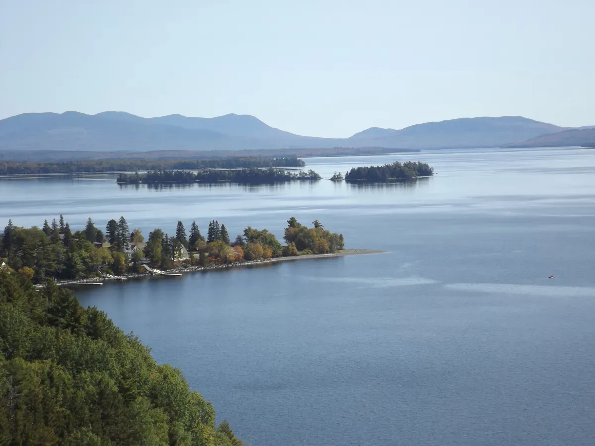
The setting is remote. The falls sit in a stretch of unorganized territory northwest of The Forks, surrounded by commercial timberland and the kind of dense Maine forest that goes on for miles without a house or a road. The only sounds are the river, the wind, and whatever birds are working the forest edge. If you want a waterfall experience that feels genuinely wild, this is it.
Getting to the Falls
The most common access is from the Dead River whitewater rafting launch parking area at the end of Lower Enchanted Road, a 14-mile dirt road off Route 201. The road is rough in places but passable for most cars in summer. From the parking lot, follow Grand Falls Road about a third of a mile, cross a bridge over the river, then walk roughly 500 feet along an easy trail to the falls. The total round trip is well under a mile.
The trailhead is not heavily signed, but the path is well-worn by visitors and the sound of the falls guides you in for the last stretch. The trail is mostly flat with some roots and uneven ground, nothing technical, though a pair of sturdy hiking boots handles the rooty footing and the slick rock near the falls best.
Alternatively, you can reach Grand Falls via the Maine Huts Trail, a long-distance trail system with backcountry huts. The Grand Falls Hut sits about a mile east of the falls and serves hikers, skiers, and mountain bikers. The hut trail approach from The Forks is roughly 14 miles, making it a multi-day trip. Most day visitors use the dirt road approach described above.
The Falls
What makes Grand Falls striking is the combination of height, width, and isolation. The water pours over a broad ledge in a horseshoe shape, similar in form (if not in scale) to Niagara Falls. At peak spring flow, the volume of water coming over the edge is enormous, and the spray cloud rises well above the falls. The pool at the base is deep and turbulent during high water.
In summer, the flow drops and the falls spread into multiple channels across the rock face. You can see the geological structure of the ledge more clearly at lower water: layers of slate and other sedimentary rock that the river has been working on for thousands of years.
Below the falls, the river calms into pools where swimming and fishing are possible. Brook trout live in the Dead River system, and fly fishing in the pools downstream of the falls can be productive if you pack the right fishing gear. The water is cold year-round.
When to Go
Spring
Snowmelt creates peak water volume. The falls are thunderous in May and early June. Black flies are fierce. The access road may be muddy.
Summer
Warm weather, good for swimming below the falls. Water flow decreases through the season. Best combined with rafting on the Dead River.
Fall
Foliage in the surrounding forest is striking. Water levels are moderate. Fewer visitors than summer.
Winter
The falls partially freeze into dramatic ice formations. The access road is not plowed. Snowmobilers reach the falls in winter. The Grand Falls Hut offers winter access via the trail system.
Packing List
Grand Falls Visit
- Sturdy shoes (trail is short but the ground is uneven)
- Bug spray (essential May through July in this area)
- Camera (morning light hits the falls from the east)
- Water and snacks (no services anywhere nearby)
- Swimsuit and towel if you plan to swim in summer
- Fishing gear if you want to try the pools below the falls
- Flashlight if staying near dusk (the dirt road back is dark)
Getting There
From The Forks on Route 201, head west on Lower Enchanted Road (also called Dead River Road). This is a dirt logging road. Follow it approximately 14 miles to the Dead River raft launch parking area. The road has some washboard sections and potholes but is passable for most vehicles in dry conditions. From the parking area, walk about a third of a mile to the bridge crossing, then follow the short trail to the falls.
From Bingham, take Route 201 north to The Forks, about 25 miles. From Portland, expect a drive of roughly 4 hours.
GPS coordinates for the falls: 45.2650, -70.1350
FAQ
How tall is Grand Falls on the Dead River?
Grand Falls drops approximately 40 feet and spans over 100 feet across the Dead River in a horseshoe shape.
Can you swim at Grand Falls?
Swimming is possible in the pool below the falls and in calmer sections downstream during summer. The water is cold, and the current near the falls can be dangerous at high flow. Stay away from the top of the falls.
How do you get to Grand Falls Maine?
The most common approach is a 14-mile dirt road (Lower Enchanted Road) from Route 201 near The Forks, followed by a short walk of about a third of a mile to the falls. The road is rough but passable for most cars in summer.
Is Grand Falls remote?
Yes. Grand Falls is in unorganized territory with no cell service, no restrooms, and no facilities beyond a parking area. The nearest town with services is The Forks, about 14 miles by dirt road. Come prepared.
Can you camp at Grand Falls?
The Grand Falls Hut, part of the Maine Huts Trail system, is about a mile from the falls and offers bunks, meals, and backcountry hospitality. Backcountry camping is also possible in the area. There is no formal campground at the falls.