The Waterfalls of Maine’s Grand Canyon
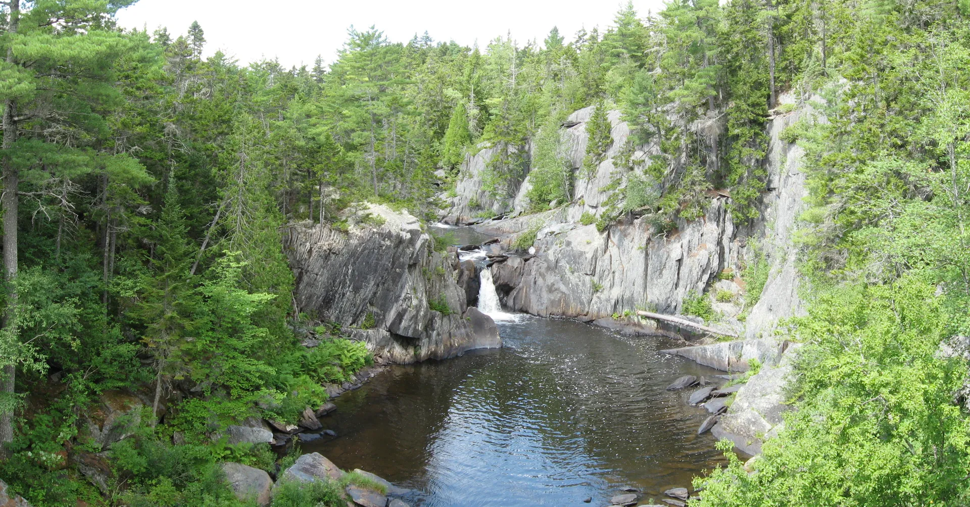
Gulf Hagas is a three-mile gorge where the West Branch of the Pleasant River has cut deeply into slate bedrock, creating a canyon filled with waterfalls, cascades, and plunge pools. Known as the Grand Canyon of Maine, it holds more named waterfalls in a single stretch than anywhere else in the state. Stair Falls, Billings Falls, Buttermilk Falls, The Jaws, and Screw Auger Falls are the headliners, but smaller unnamed cascades appear around nearly every bend in the gorge.
This is not a roadside attraction. Reaching the falls requires an 8.6-mile loop hike through remote forest on the Gulf Hagas rim trail and the Pleasant River Tote Road return. The terrain is rugged, the footing is rocky and rooted, and the trail runs along the edge of the gorge with steep drops. This is a full-day outing that rewards hikers with some of the most dramatic waterfall scenery in New England.
The Gulf Hagas rim trail is not a casual walk. It covers 8.6 miles of rocky, rooted terrain with over 1,000 feet of elevation change and exposure along the gorge edge. Allow 5 to 7 hours for the full loop. Start early, carry plenty of water and food, and be prepared for the trail to take longer than you expect. The Pleasant River ford at the start can be knee-deep or higher in spring.
The Named Falls
Stair Falls
Stair Falls is the first major waterfall you encounter on the rim trail, near the junction where Bear Brook meets the Pleasant River. The name describes it well: the river drops over a series of angular rock ledges that resemble a giant staircase. The water spreads wide over the steps, creating a gentle cascade that is beautiful to watch and photograph. This is also a popular swimming spot in summer, with a pool at the base deep enough to wade into.
Billings Falls
Continuing along the rim trail, Billings Falls drops about 20 feet in a dramatic plunge. A viewpoint high above the canyon provides one of the best aerial perspectives of any waterfall along the trail. The water crashes through a narrow channel in the slate, and the sound echoes off the gorge walls. This is where the true depth of the canyon becomes apparent, looking down from the rim to the river far below.
Buttermilk Falls
About halfway along the rim trail, Buttermilk Falls earns its name from the foamy, churning water the river produces as it cascades down a long rock face. The falls are more of a steep slide than a vertical drop, and the white, frothy water against the dark slate creates a distinctive appearance. This is one of the wider falls in the gorge and a popular rest stop.
The Jaws
Between Buttermilk and Screw Auger, the river narrows dramatically at a section called The Jaws. The walls of the gorge close in and the water is compressed into a narrow, violent flume. This is not technically a waterfall but the constriction creates turbulent rapids and standing waves that are mesmerizing to watch from the rim above.
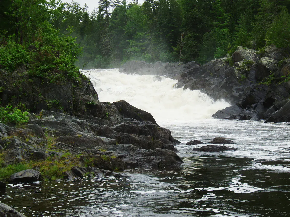
Screw Auger Falls (Gulf Hagas)
Screw Auger Falls is the highlight for most visitors. This is a different waterfall from the Screw Auger Falls in Grafton Notch State Park. The Gulf Hagas version drops 26 feet through a slot only about four feet wide. The water spirals as it descends, which is how the “screw auger” name originated, referring to the boring, twisting pattern that carved the rock. The narrow slot amplifies the sound, and on a high-water day the falls are thunderous.
The gorge runs roughly north-south, and morning light penetrates deeper into the canyon than afternoon light. If photography is a priority, start the rim trail early and work south. Screw Auger Falls and Buttermilk Falls both photograph better before noon when the light reaches the water.
The Rim Trail Loop
The standard 8.6-mile route starts at the trailhead near the Head of the Gulf. The hike begins with a ford of the West Branch of the Pleasant River. In summer, the ford is typically ankle to shin deep. In spring or after heavy rain, it can reach knee-deep or higher, with enough current to make crossing with a heavy pack tricky. Bring sandals or water shoes for the crossing.
After the ford, the trail follows the rim along the east side of the gorge heading south, with side trails dropping down to viewpoints at each of the major falls. The rim trail is where all the elevation and difficulty live. Roots, rocks, blowdowns, and narrow sections along the gorge edge make the going slow, and stiff, supportive hiking boots protect your ankles over miles of this uneven terrain.
The return is via the Pleasant River Tote Road, a flat and easy path that follows the river back to the start. Plan for about 5 to 7 hours for the full 8.6-mile loop, depending on how much time you spend at each waterfall. With no treated water sources along the way, a packable water filter lets you refill safely from the river instead of hauling all 3 liters from the car.
If you want to see just one waterfall without the full loop, Screw Auger Falls (Gulf Hagas) can be reached as an approximately 3.5-mile out-and-back from the Pleasant River trailhead.
The access road to Gulf Hagas passes through KI Jo-Mary Multiple Use Forest, a private timberland that charges a day-use fee at the gate (currently around $15 per vehicle). Have cash ready. The gate attendant can give you current trail and river conditions. Ask about recent blowdowns and the river level at the ford.
When to Visit
Spring
Highest water flow and the most dramatic falls, but the Pleasant River ford can be dangerous. Muddy trail. Black flies.
Summer
Safe river crossing, dry trail conditions, long daylight. Water flow is lower but falls are still impressive. Swimming possible at Stair Falls.
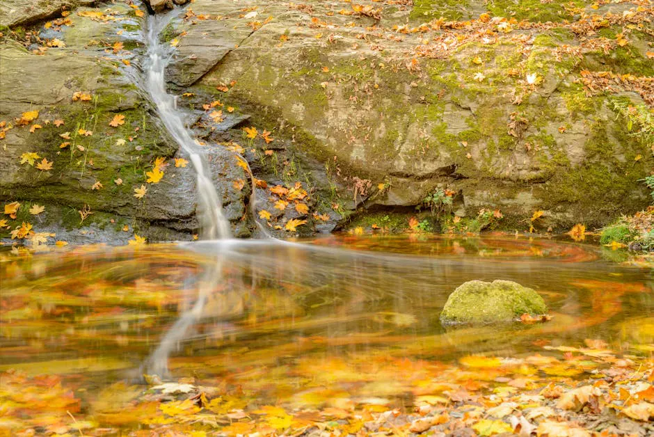
Fall
Foliage in the gorge is spectacular. Cooler temperatures and fewer bugs. Trail can be slippery with wet leaves.
Winter
Access road is gated and not maintained. Deep snow on the trail. Not recommended.
Late June through early October is the window. September and early October bring foliage color to the hardwoods along the gorge rim, and the contrast of orange and gold leaves against the dark slate walls and white water is among the best fall scenery in Maine. Summer offers the driest trail conditions and the safest river crossing.
Packing List
Gulf Hagas Falls Day Hike
- Hiking boots with good ankle support
- Trekking poles (rocky, rooted terrain with gorge-edge exposure)
- Water filter or 3 liters of water
- Lunch and snacks (this is a 5-7 hour hike)
- Rain jacket (weather changes fast)
- Water shoes or sandals for the river ford
- Camera
- Bug spray (June through August)
- Map (no cell service for navigation)
- Cash for KI Jo-Mary gate fee (~$15)
Getting There
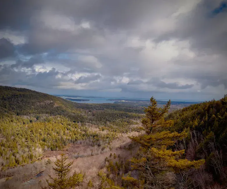
Gulf Hagas is in Bowdoin College Grant East Township, Piscataquis County, in the 100-Mile Wilderness region west of Baxter State Park. Brownville Junction and Milo are the nearest towns with services on the eastern approach. Greenville to the west is another common starting point. Top off fuel and pick up supplies before heading to the gate. There are no services once you leave pavement.
The access road passes through the KI Jo-Mary Multiple Use Forest, a private timberland that charges a day-use fee at the gate (currently around $15 per vehicle). Have cash ready. From the gate, gravel roads lead to the trailhead parking area near the Head of the Gulf.
From Bangor, the drive to the trailhead takes about 1 hour 45 minutes via Route 11 north to Brownville Junction, then west on gravel roads. From Portland, expect roughly 4 hours. From Greenville, the approach is about 45 minutes on gravel.
GPS coordinates for the central gorge area: 45.4750, -69.2950. Cell service is nonexistent. Carry a paper map and plan your navigation before you leave town.
FAQ
How many waterfalls are in Gulf Hagas?
There are at least five named waterfalls along the rim trail: Stair Falls, Billings Falls, Buttermilk Falls, The Jaws, and Screw Auger Falls. Numerous smaller unnamed cascades and slides appear throughout the three-mile gorge.
Is the Gulf Hagas Screw Auger Falls the same as the one in Grafton Notch?
No. They are two different waterfalls that share the same name. The Grafton Notch Screw Auger Falls is a roadside waterfall in a state park near Newry. The Gulf Hagas version is deep in the backcountry and requires an 8.6-mile hike to reach.
How long does the Gulf Hagas hike take?
The full 8.6-mile rim trail loop takes 5 to 7 hours for most hikers. The terrain is rocky and rooted, with steep sections along the gorge edge. Allow extra time for stops at each waterfall.
Do I need to ford a river to reach Gulf Hagas?
Yes. The hike starts with a ford of the West Branch of the Pleasant River. In summer, the water is typically ankle to shin deep. In spring or after rain, it can be knee-deep with a strong current. Bring water shoes for the crossing.
Is there a fee to access Gulf Hagas?
The access road passes through KI Jo-Mary Multiple Use Forest, which charges a day-use fee of approximately $15 per vehicle. Have cash ready. There is no additional fee for the trail itself.
Can I see just one waterfall without doing the full loop?
Yes. Screw Auger Falls in Gulf Hagas can be reached as an approximately 3.5-mile out-and-back hike from the Pleasant River trailhead, avoiding the full rim trail loop.