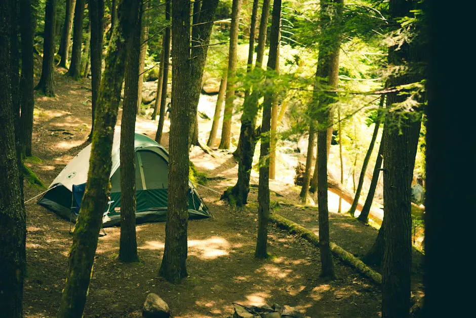
A Lean-to in the Saddleback Backcountry
Poplar Ridge Lean-to is a classic Adirondack-style shelter on the Appalachian Trail in Redington Township, west of the Sugarloaf area and east of Rangeley. It sits just below Saddleback Junior, on the long and demanding stretch of the AT that links the Saddleback summits with the Spaulding and Sugarloaf country to the north. The Maine Appalachian Trail Club maintains it, and it is a no-fee, first-come shelter with a few tent sites and a privy.
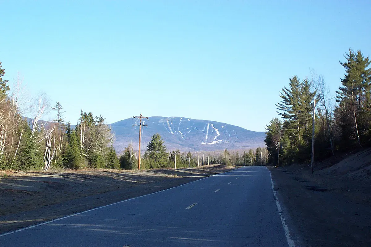
The lean-to is best understood by its neighbors. Saddleback Junior rises about 1.4 miles to the south. The next shelters are a long way off in either direction, roughly nine miles north and nearly nine miles south, which tells you everything about how committing this section is. There is no road and no bailout point nearby. You are out here.
Hard Miles in Both Directions
This is one of the more underrated tough sections of the Maine AT. South of the lean-to, the trail climbs over Saddleback Junior, The Horn, and Saddleback Mountain itself, all of which carry long stretches of exposed alpine ridge. North of the lean-to, the trail descends to Orbeton Stream, a notable water crossing about 2.7 miles away, then climbs steeply toward the Spaulding Mountain area.
The footing here is the rough, rocky, root-laced surface the Maine AT is known for. The mileage between shelters is real-world long, not map-short, and the alpine sections of Saddleback are fully exposed to weather. Plan conservatively.
Backcountry water filtration
Camping at the Lean-to
The lean-to itself sleeps a handful of hikers, with additional tent sites nearby for when it is full, which it often is during the northbound thru-hiker bubble in summer. There is a privy, and water comes from a nearby source that should be filtered or treated. Some streams in this area run tannic and dark; the water is fine once treated, but it does not look like tap water.
The exposed alpine ridges of Saddleback just south of here are dangerous in bad weather. There is no shelter on the open summits, lightning is a real threat, and conditions change fast at elevation. The miles to the next shelter in either direction are long with no easy exit. Carry warm layers and a shell, filter all water, start early, and turn back from the ridge if the weather is deteriorating. There is no cell service.
If you are section-hiking, the stretch from Route 4 near Rangeley over Saddleback to Poplar Ridge makes a strong, hard overnight, with the option to continue north toward Spaulding and Sugarloaf the next day. Sleeping at Poplar Ridge sets you up to cross the Saddleback ridge in the morning when the weather window is usually best.
When to Visit
Spring
Snow lingers on the Saddleback ridge into spring and the trail is very wet. Black flies arrive in May. Not a spring objective.
Summer
The main season. Long days, the most stable weather for the alpine ridge, and the busiest stretch for thru-hikers.
Fall
Cool, clear, and bug-free with foliage on the lower slopes. Weather windows shorten quickly into October.
Winter
The exposed Saddleback ridge becomes a serious winter mountaineering route. The shelter and approaches are committing in snow.
Packing List
Poplar Ridge Overnight
- Tent for backup when the lean-to is full
- Warm sleeping bag for cold ridge-country nights
- Water filter or purifier (some sources run tannic)
- Waterproof shell and warm midlayer for the alpine ridge
- Trekking poles for the rough, rocky footing
- Headlamp and spare batteries
- Map and compass or offline map (no cell service)
- Trash bag to pack everything out
Getting There
Poplar Ridge Lean-to is reached on foot only, as part of an AT hike. The common approach is from the Appalachian Trail crossing on Maine Route 4 south of Rangeley, climbing over the Saddleback range and continuing to the lean-to, or from the north as part of a longer point-to-point toward Spaulding and Sugarloaf. There is no road to the shelter. Rangeley is about three hours from Portland and roughly three hours from Bangor.
FAQ
Who maintains Poplar Ridge Lean-to?
The Maine Appalachian Trail Club. It is a traditional Adirondack-style lean-to with no fee and no caretaker.
How far is it to the next shelter?
A long way in both directions, roughly nine miles north and close to nine miles south. This is a committing section with no nearby road bailout.
Where is the water and how is it?
From a nearby source that must be filtered or treated. Some area streams run tannic and dark but are fine once treated.
What is the terrain like nearby?
Rugged. Saddleback Junior is about 1.4 miles south, with exposed alpine ridge over the Saddleback summits, and Orbeton Stream is a notable crossing about 2.7 miles north.
Can you drive to it?
No. The lean-to is only reachable on foot via the Appalachian Trail, typically from Route 4 near Rangeley over the Saddleback range.
For the peaks just south, see Saddleback Mountain, and base your trip out of Rangeley.