Two 4,000-Foot Peaks in One Push
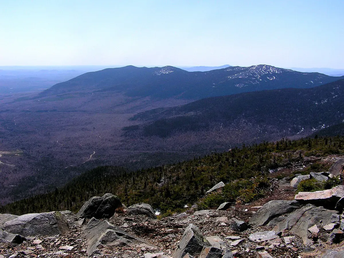
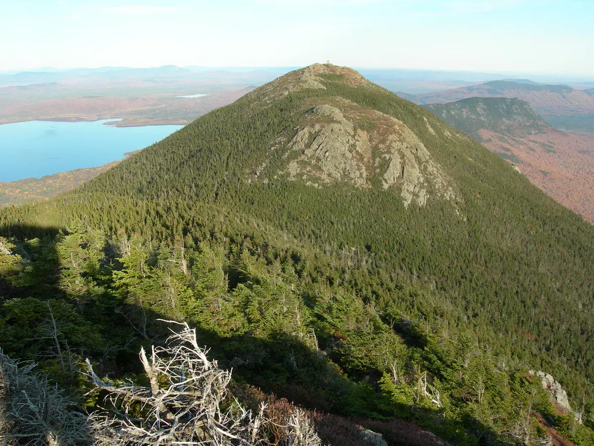
Crocker Mountain (4,228 feet) and South Crocker Mountain (4,049 feet) are two of Maine’s fourteen 4,000-foot peaks, and they are the only pair you can bag in a single out-and-back on the Appalachian Trail. The 10.4-mile round trip from Caribou Valley Road climbs through dense boreal forest to two wooded summits. The views are limited compared to the Bigelows or Katahdin, but for peak baggers working through the Maine 4,000-footer list, the Crockers are essential.
The Trail
The hike begins where the Appalachian Trail crosses Caribou Valley Road, about 5 miles south of Stratton. The road itself is rough gravel and can be very muddy in spring; high-clearance vehicles are recommended.
From the trailhead, the AT climbs gradually through hardwoods and birch for the first couple of miles. The grade increases as you enter spruce and fir forest. The trail follows the ridgeline, dipping into a col between the two peaks. South Crocker comes first, at about 4 miles from the trailhead. The summit is wooded with limited views.
From South Crocker, the trail drops into the col and then climbs again to North Crocker (the higher of the two) at about 5.2 miles from the trailhead. North Crocker’s summit is also mostly in the trees, though a short side path leads to a partial overlook.
Return the same way.
If you have a second car, you can do a shuttle hike by continuing north on the AT from North Crocker down to Route 27. This turns the hike into a one-way traverse of about 7 miles and avoids the return climb over South Crocker.
When to Go
Spring
Caribou Valley Road is often impassable due to mud. The upper trail is wet and snow-covered into May. Black flies arrive late May.
Summer
Dry conditions and long days. The boreal forest is cool even on warm days. Bring bug spray.
Fall
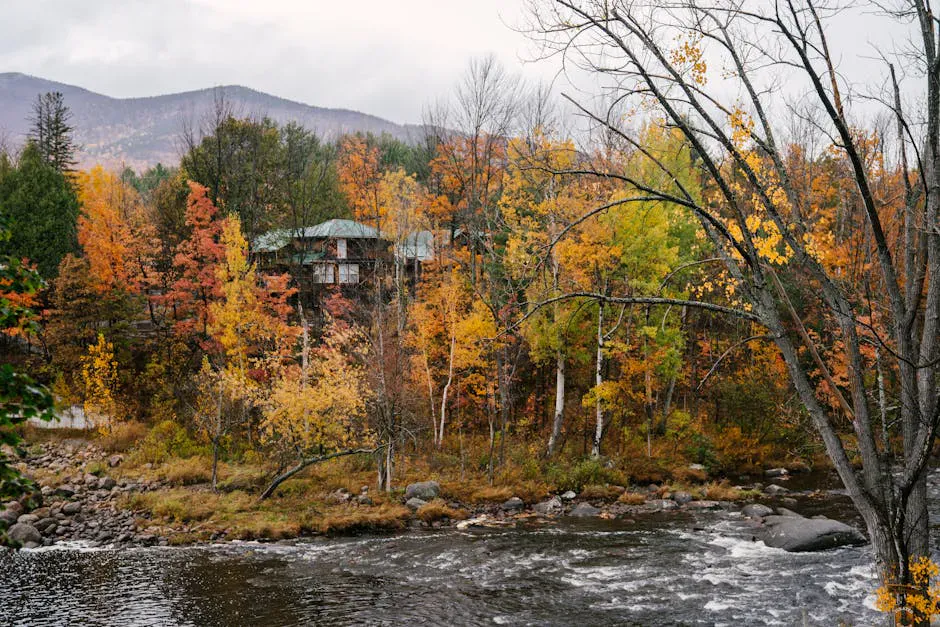
Foliage in the birch forests is beautiful. Cool, dry conditions make the climb more comfortable.
Winter
Snowshoeable, but the approach road may not be plowed. A long day in short daylight.
Practical Notes
Caribou Valley Road is rough and can be impassable during mud season (April through mid-May) and after heavy rains. Check conditions before driving in. A sedan may not make it to the trailhead.
Dogs are allowed. No facilities at the trailhead. Cell service is nonexistent on the mountain and unreliable at the trailhead.
Packing List
Crocker Mountain
- 2.5 to 3 liters of water per person
- Lunch and snacks for a full day
- Sturdy hiking boots
- Bug spray in summer
- Rain jacket
- Warm layer for the upper elevations
- Map or GPS (limited to no cell service)
Getting There
The trailhead is on Caribou Valley Road, which branches off Route 27 about 5 miles south of Stratton. The road is rough gravel for about 4.5 miles to the AT crossing. From Stratton, the drive is about 20 minutes. From Portland, allow about 2 hours 45 minutes.
FAQ
How long does the Crocker Mountain hike take?
Plan for 6 to 9 hours round trip for the full out-and-back over both peaks.
Are there views from the summits?
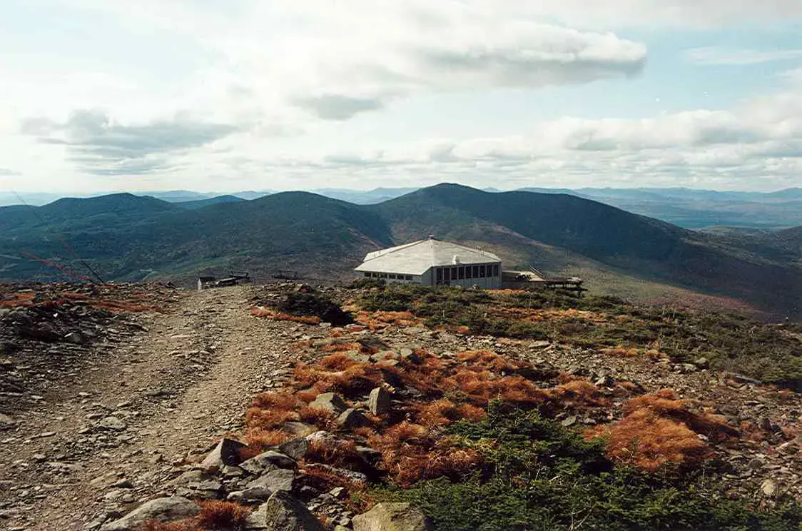
Limited. Both summits are mostly wooded. North Crocker has a partial overlook. The Crockers are a peak-bagging hike, not a views hike.
Can I camp on the trail?
There is a lean-to between the two summits along the AT. Backcountry camping follows standard WMNF and AT corridor rules.
How does this compare to the Bigelows?
The Bigelows are more scenic with open alpine ridgeline. The Crockers are a woods hike. The Crockers are less trafficked and feel more remote.