Two Waterfalls Below Sugarloaf
Poplar Stream Falls is really two waterfalls a few hundred feet apart, fed by two different streams in the Carrabassett Valley near Sugarloaf. The upper falls, a 24-foot horsetail cascade on Poplar Stream, is the easier to reach and has a swimming pool at its base. The lower falls, an impressive 51-foot horsetail on South Brook, is the taller and more dramatic of the pair. Together they make one of the best waterfall hikes in western Maine, combining easy access with genuine scenic reward.
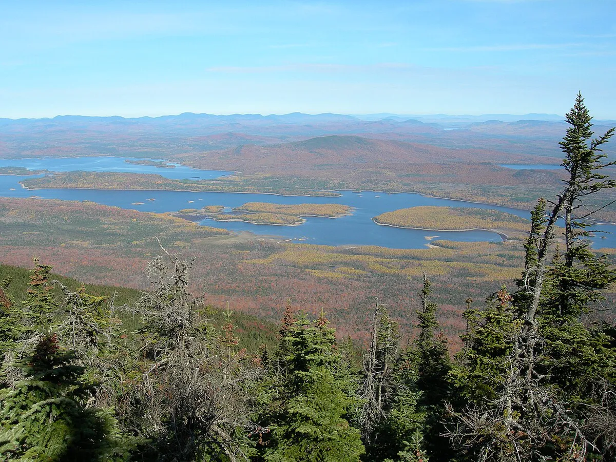
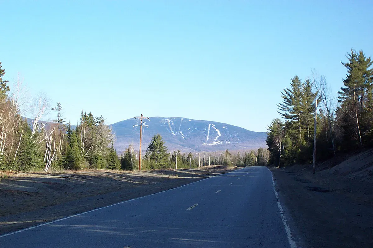
The Carrabassett Valley is better known for Sugarloaf Mountain’s ski slopes, but the surrounding hills and streams hold excellent hiking. Poplar Stream Falls is the most accessible waterfall destination in the area, linked into the Maine Huts & Trails network that connects backcountry huts across the western mountains.
The Hike
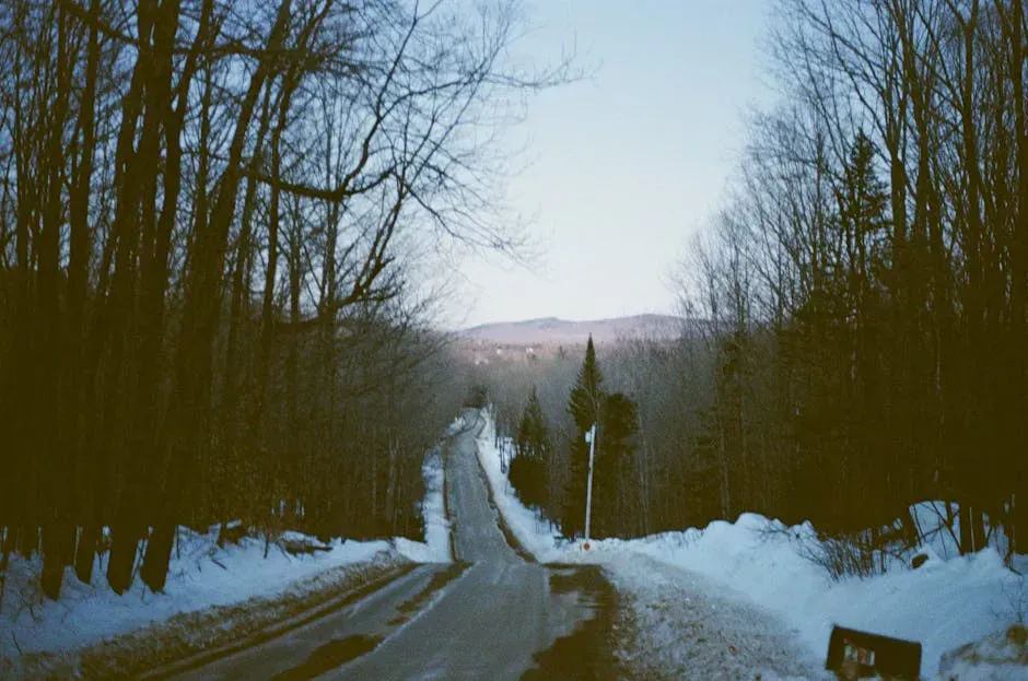
The most common approach follows the Maine Huts & Trails system from the Carrabassett Valley area. From the trailhead, follow the marked trail through mixed hardwood and softwood forest. The trail is well-maintained, following an old carriage road for much of its length before narrowing as it approaches the streams.
The upper falls on Poplar Stream is reached in about 2 miles via Warren’s Trail. A signed viewing vista sits just off the main trail, about a 100-foot walk from the junction, giving you a clear view of the 24-foot cascade dropping over granite ledges into the pool below.
To reach the lower falls on South Brook, backtrack to the main trail and continue a short distance further. The lower falls is about a quarter mile beyond the upper falls. The 51-foot horsetail is the taller of the two and drops down a steep granite face with the water fanning out as it descends.
The round trip to see both waterfalls covers approximately 4 miles with roughly 200 feet of elevation gain. The grade is gentle and the footing is good, with a few root-crossed sections and one or two muddy patches after rain, where hiking boots with solid traction keep you steady on the slick granite near both cascades. Most people complete the round trip in 2 to 3 hours, including time at both falls.
The granite ledges around both waterfalls are slippery when wet. Use caution near the top of the upper cascade and when scrambling to the base of the lower falls. The angled rock at the lower falls is steep enough that a slip could cause a serious fall.
The Upper Falls (Poplar Stream)
The upper falls drops 24 feet over a series of tilted granite shelves on Poplar Stream. The water slides and cascades over the angled rock, spreading out as it goes and gathering into a pool at the base. In spring, when snowmelt from Sugarloaf and the surrounding mountains feeds the stream, the falls run wide and loud. By late summer, the flow narrows to a few main channels, but the falls remain photogenic.
The pool at the base is shallow enough for wading and deep enough in spots for a full dip. On hot summer days, this is a popular swimming hole for locals and Sugarloaf visitors. The water is cold, fed by mountain runoff, and the granite ledges around the pool offer natural seating for drying off in the sun.
Visit in late May or early June for the best water flow. The snowmelt from Sugarloaf and the Bigelow Range feeds both streams heavily in spring, and the cascades are at their most impressive. By August, the volume drops significantly, especially on the upper falls.
The Lower Falls (South Brook)
The lower falls is the star of the pair. South Brook drops 51 feet down a steep granite face in a horsetail pattern, with the water maintaining contact with the rock as it descends. The falls are narrower than the upper cascade but significantly taller, and the vertical scale is impressive when you stand at the base and look up.
The approach to the base of the lower falls involves a short descent on a rougher path. The rock at the base is jumbled and wet from spray. There is no formal pool for swimming at the lower falls, though the spray zone stays cool and refreshing. The lower falls is fed by South Brook, a separate stream from Poplar Stream, which means the two waterfalls can have different water levels depending on rainfall patterns.
If you are visiting Sugarloaf for skiing in winter, the frozen falls are worth a snowshoe hike. The upper cascade freezes into ice columns and curtains that look completely different from the summer waterfall. The Maine Huts & Trails network is groomed for cross-country skiing in winter, making the approach straightforward. Bring microspikes or similar traction devices for the icy final approach to the falls.
When to Go
Spring
Peak water flow from snowmelt. Both falls are at their most impressive. Trail can be muddy. Black flies in June.
Summer
Warm enough for swimming in the upper falls pool. Reduced water flow by August. Good trail conditions.
Fall
Foliage along the trail is beautiful. Moderate water flow. Cool temperatures make for pleasant hiking.
Winter
Accessible on snowshoes or cross-country skis via the Maine Huts & Trails system. The falls may partially freeze into dramatic ice formations.
Practical Notes
Parking is free at the trailhead. During ski season, the nearby Sugarloaf Outdoor Center is a full-service facility with rentals, restrooms, and food. In summer, the area may have limited services but the parking and trails are accessible.
There are no fees or permits required for the hike. Dogs are welcome on leash.
The Carrabassett Valley has restaurants and lodging near the Sugarloaf base area, about 5 minutes from the trailhead. The town of Kingfield, about 15 minutes south on Route 27, has additional dining options and a general store.
Cell service is spotty in the Carrabassett Valley. You may get a signal near the main road but will likely lose it on the trail.
Getting There
From Route 27 in the Carrabassett Valley, look for trail access near the Sugarloaf area. The Maine Huts & Trails Airport Trailhead is located off Route 27, 0.25 miles beyond the Sugarloaf Airport entrance. Alternatively, you can park at the Carrabassett Valley town office and walk up Carriage Road to where the Maine Huts Trail crosses.
From Portland, take the Maine Turnpike to the Farmington exit, then Route 27 North through Kingfield. The drive takes about 2.5 hours. From Bangor, take Route 2 West to Farmington, then Route 27 North, roughly 2.5 hours.
GPS coordinates for the falls: 45.1012, -70.1940
Packing List
Poplar Stream Falls Visit
- Hiking boots or sturdy trail shoes
- Water shoes if planning to swim at the upper falls pool
- Camera (both falls are very photogenic)
- Water and snacks
- Bug spray (June and July especially)
- Rain jacket
- Towel and swimsuit (summer visits to the upper falls pool)
FAQ
How tall is Poplar Stream Falls?
There are two waterfalls. The upper falls on Poplar Stream drops 24 feet over angled granite ledges. The lower falls on South Brook drops 51 feet in a horsetail pattern. They are a few hundred feet apart and fed by different streams.
Can you swim at Poplar Stream Falls?
Yes. The pool at the base of the upper falls (24-foot cascade) is a popular swimming spot in summer. The water is cold but refreshing on hot days. The lower falls does not have a suitable swimming pool.
How long is the hike to Poplar Stream Falls?
About 2 miles one way to see both waterfalls (roughly 4 miles round trip) via Warren's Trail. The trail is easy with gentle elevation gain. Most people complete the round trip in 2 to 3 hours.
Is Poplar Stream Falls near Sugarloaf?
Yes. The trailhead is in the Carrabassett Valley, about 5 minutes from the main Sugarloaf ski area. The falls are part of the Maine Huts & Trails network.
When is the best time to visit Poplar Stream Falls?
Late May and early June for maximum water flow from snowmelt. Summer is best for swimming at the upper falls pool. Fall brings beautiful foliage along the trail. Winter offers dramatic ice formations accessible by snowshoe.
Are there really two waterfalls?
Yes. Poplar Stream Falls is really a pair of waterfalls: a 24-foot cascade on Poplar Stream and a 51-foot horsetail on South Brook. They are a few hundred feet apart and both accessible from the same trail.