A Working Farm Turned Conservation Land
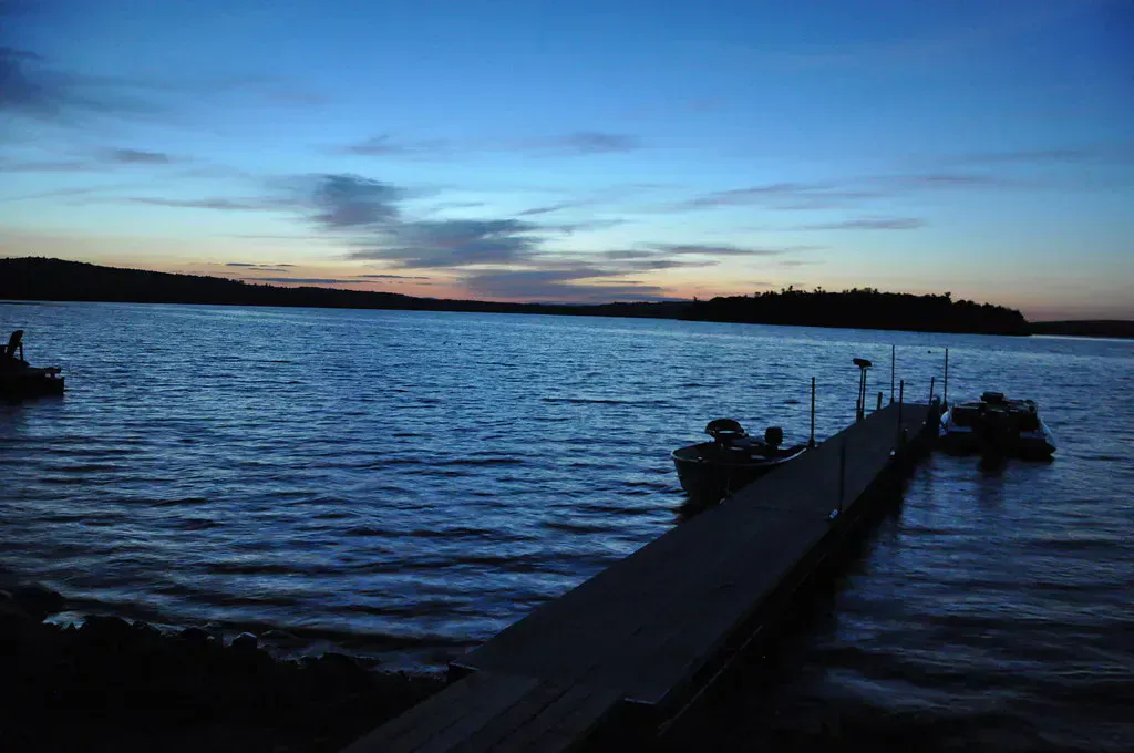
The Curtis Homestead Conservation Area is a 360-acre property in Leeds that was once the childhood farm of Kenneth Curtis, who served as Maine’s governor from 1967 to 1975. The Kennebec Land Trust now owns and manages the land, and its network of easy trails threads through old fields, mature woodlots, wetlands, and a bog, telling the story of how a New England farm slowly returns to forest. It is a gentle, family-friendly place to walk, watch birds, or ski in winter, with no real climbing and plenty of open ground.
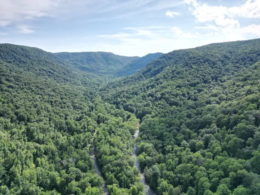
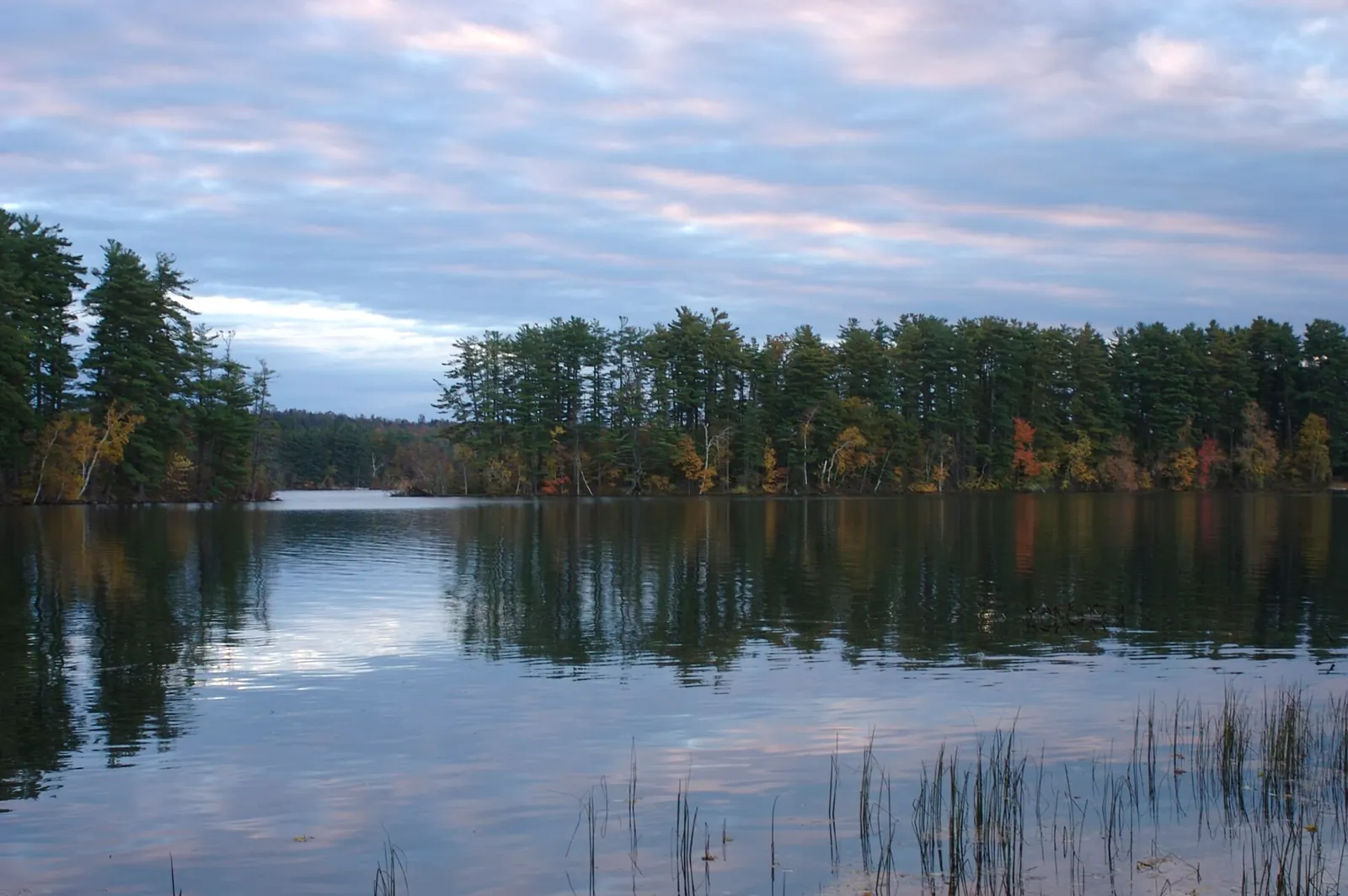
The land reads like a lesson in forest succession. You move from open hay fields edged with stone walls into stands of mixed hardwoods, then out to a bog overlook, watching the landscape change from farmland to woods as you go. Birding here is excellent, especially along the edges where field meets forest, so it is worth bringing binoculars.
The Trail
The conservation area has four interconnected trails totaling about 3.6 miles, and you can stitch them together into loops to suit the time you have. The Lower Fields Loop runs a flat, easy mile, and the Upper Fields Loop adds a half mile through the open ground. The Curtis Rock Trail, about 1.4 miles and rated easy to moderate, leads to a bog overlook at Curtis Rock, a large glacial erratic. The Woodlot Trail covers another 0.7 miles through mixed hardwood forest at a moderate grade.
None of it is hard. The terrain is mostly level field and rolling woods, which makes this a good choice for a relaxed walk, a trip with kids, or an early-season hike before the bigger hills dry out. Trails are open year-round and double as cross-country ski and snowshoe routes once the snow falls.
Wildlife & bird watching
Getting There
From Leeds, take Route 106, then turn onto Bog Road, crossing the railroad tracks. The parking area and trailhead kiosk are a short distance down Bog Road on the left, with the gravel lot and a KLT sign marking the spot. The trails all start from the kiosk, so it is easy to plan your loop before you set out.
The land is open year-round, free, and managed for low-impact recreation. Cell service in the area is spotty, so take a photo of the trail map at the kiosk before you head out.
Parts of the Curtis Rock and Woodlot trails close seasonally from April through July to protect nesting birds, so check the kiosk before you plan a full loop in late spring or early summer. The Lower and Upper Fields loops stay open and make a fine walk on their own during that stretch.
When to Visit
Spring
An early-season option while the hills are still muddy, though parts of two trails close for bird nesting from April. Ticks pick up in the fields.
Summer
Green fields and shaded woods. Bring bug spray and watch for ticks in the tall grass, especially along the field edges.
Fall
Crisp air, color in the hardwoods, and excellent birding along the field-forest edges. The most comfortable walking of the year.
Winter
Quiet and open for snowshoeing and cross-country skiing across the fields and woods. A pleasant low-key winter outing.
Fall is the standout for birding and color, but the easy terrain makes Curtis Homestead a good year-round walk. In winter the open fields are a fine place to ski or snowshoe.
Packing List
Curtis Homestead Walk
- Comfortable trail shoes or boots
- 1 liter of water
- Bug spray and tick protection for the fields
- Binoculars for birding along the edges
- A photo of the kiosk trail map (cell service is spotty)
- Snowshoes or skis in winter
FAQ
How long are the trails at Curtis Homestead?
There are four trails totaling about 3.6 miles, which you can combine into loops. The Lower Fields Loop is a flat, easy mile; the longest single trail, Curtis Rock, runs about 1.4 miles to a bog overlook.
How hard is the hike?
Easy. The terrain is mostly level field and gently rolling woods, with no significant climbing, which makes it a good choice for families and early-season walks.
Are dogs allowed?
Yes. Dogs are allowed on a leash or under voice control. Please clean up after them.
Are any trails closed seasonally?
Yes. Portions of the Curtis Rock and Woodlot trails close from April through July to protect nesting birds. The Fields loops stay open year-round.
Who was the homestead's namesake?
The land was the childhood farm of Kenneth Curtis, governor of Maine from 1967 to 1975. The Kennebec Land Trust now manages it as a conservation area.
For more easy walking nearby, see the quiet shore of Androscoggin Lake or the songbird trails at Thorncrag Nature Sanctuary in Lewiston.