Grafton Notch’s Iron-Rung Adventure
The Eyebrow Trail is a 1.2-mile cliffside path that clings to the western wall of Grafton Notch, ascending 800 feet on a route that includes iron rungs bolted into the rock, wooden ladders, and exposed ledge traverses. It is the most exciting and technically demanding short trail in the Notch, a concentrated dose of adventure that rewards sure-footed hikers with close-up cliff views and an unforgettable sense of exposure.
The trail forms a loop with the Appalachian Trail on Old Speck’s lower slopes. Most hikers ascend the Eyebrow and descend via the AT, creating a 2.4-mile lollipop loop from the same trailhead used for Old Speck. The Eyebrow is a spur off the AT, not part of the AT itself, and it was built specifically to showcase the dramatic cliff band on Old Speck’s east face.
This is not a trail for beginners, those uncomfortable with heights, or anyone who balks at using iron handholds to haul themselves up steep rock faces. In wet conditions, the trail becomes genuinely dangerous. But in good weather, with dry rock and confidence, it is one of the best short hikes in Maine.
The Trail
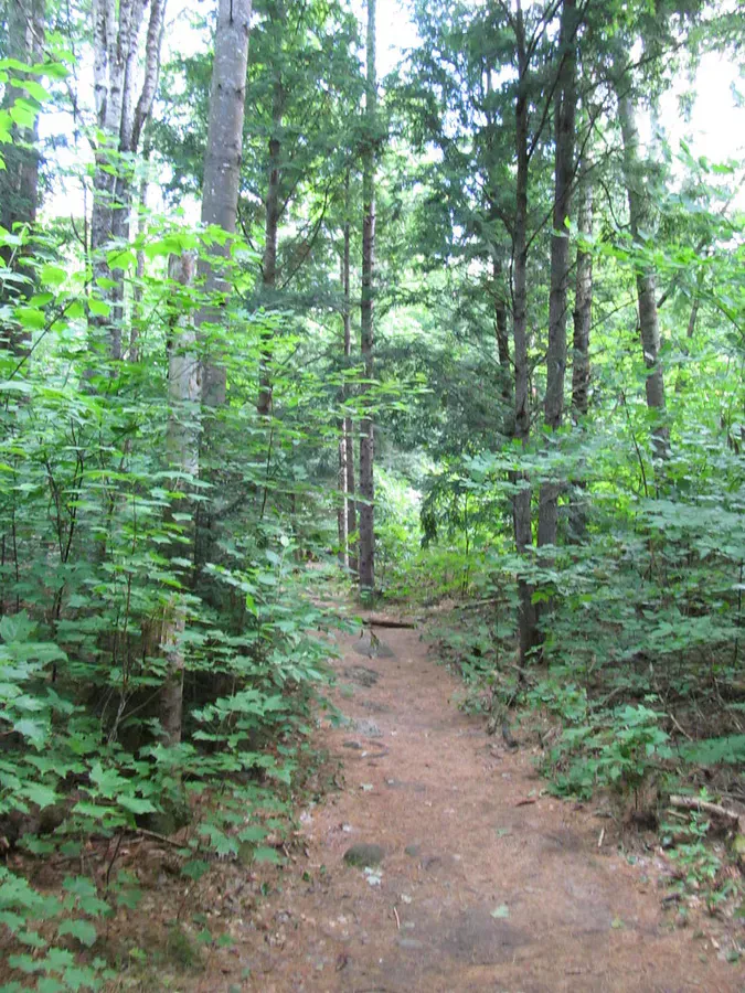
Start at the Grafton Notch State Park parking area on the west side of Route 26, the same lot used for Old Speck. Follow the AT northbound for about 0.5 miles through mixed hardwood forest. At the Eyebrow Trail junction, bear left onto the Eyebrow.
The trail immediately steepens, climbing through birch and spruce on a narrow, rocky path. Within the first quarter-mile, you reach the cliff band. The next half-mile is the meat of the experience: the trail traverses a series of ledges on the cliff face, using iron rungs, wooden ladders, and natural rock steps to navigate terrain that would otherwise require technical climbing gear.
The iron rungs are U-shaped metal bars driven into the rock, similar to what you would find on a via ferrata in the Alps, though less elaborate. They are solid and well-maintained, but they require hand strength and confidence. In several sections, you pull yourself up a near-vertical face using the rungs while your feet find purchase on the rock below. The exposure is real. You are on a cliff face with open air below you.
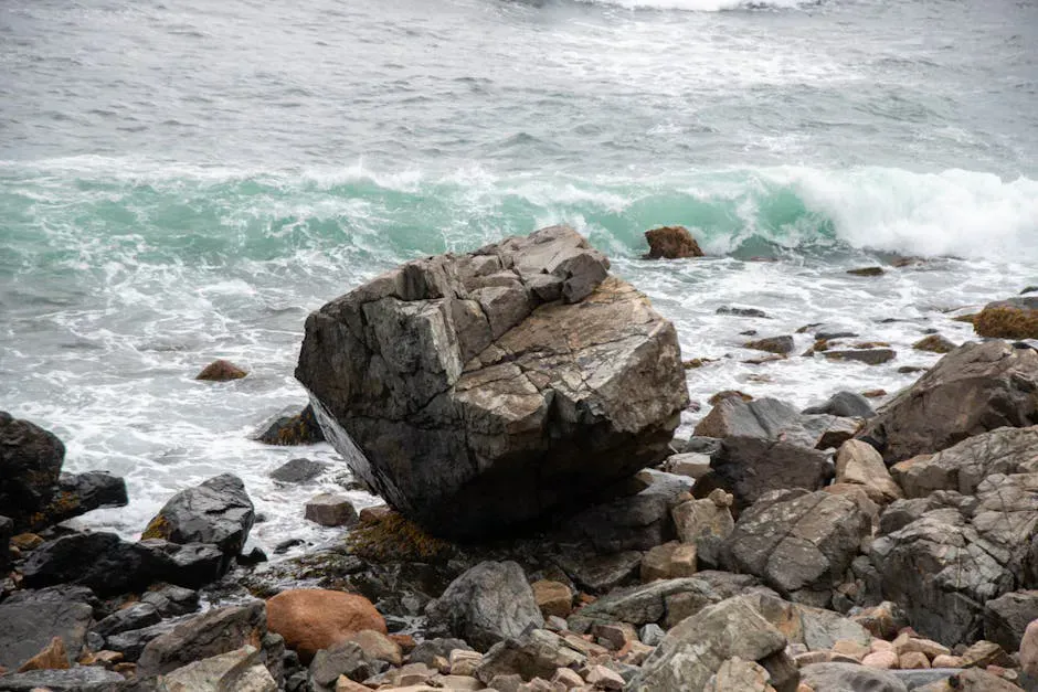
Between the rung sections, the trail follows narrow ledges with views east across the Notch to Baldpate Mountain and Table Rock. The cliff itself is granite and gneiss, fractured into angular blocks and draped with rock tripe lichen.
At the top of the cliff band, the trail levels somewhat and traverses through dense spruce forest before reconnecting with the AT. From here, turn right (south) on the AT to descend back to the parking area, completing the loop.
Hike the loop clockwise, ascend via the Eyebrow and descend via the AT. The rung sections are much easier and safer to climb up than to climb down. Descending the iron rungs requires downclimbing on steep, exposed rock, which is significantly more strenuous and nerve-wracking than going up.
What You’ll See
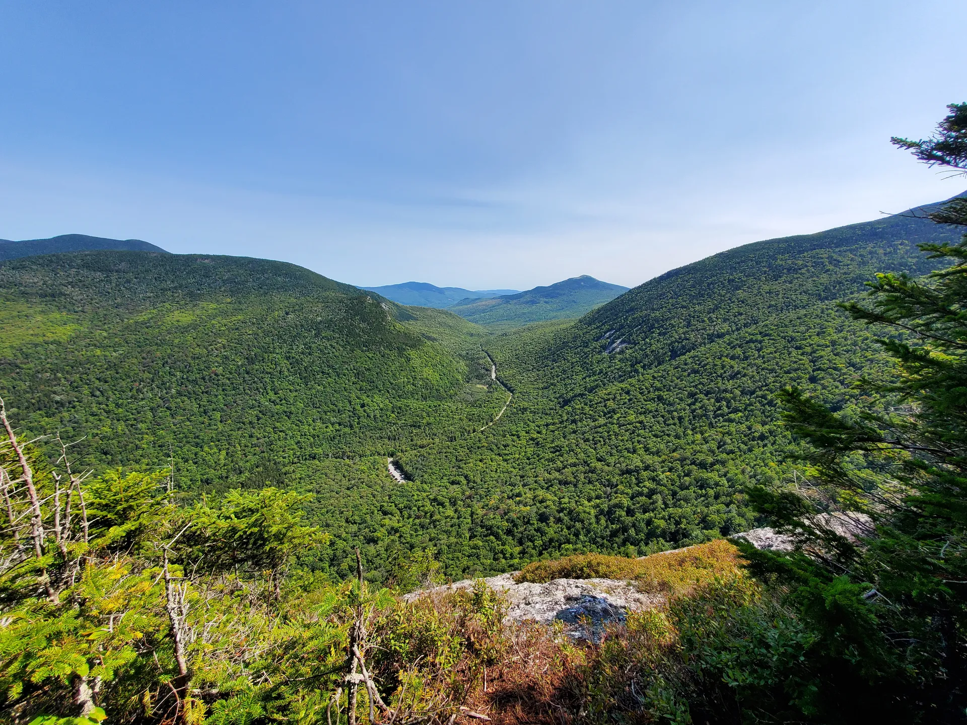
The cliff-face views are the highlight. As you traverse the ledges, the Notch opens below you in a sweeping panorama. Baldpate Mountain’s twin summits stand across the valley, and Table Rock is visible as a distinct slab on the east wall. Route 26 threads through the valley floor far below, and the Bear River glints through the trees.
The cliff itself is home to a small community of specialized plants. Polypody ferns grow from cracks in the rock face. Rock tripe, a large, dark lichen, covers many of the granite surfaces. In spring, columbine blooms in the crevices. Common ravens nest on the cliffs, and you will hear their deep croaking calls echoing off the rock walls.
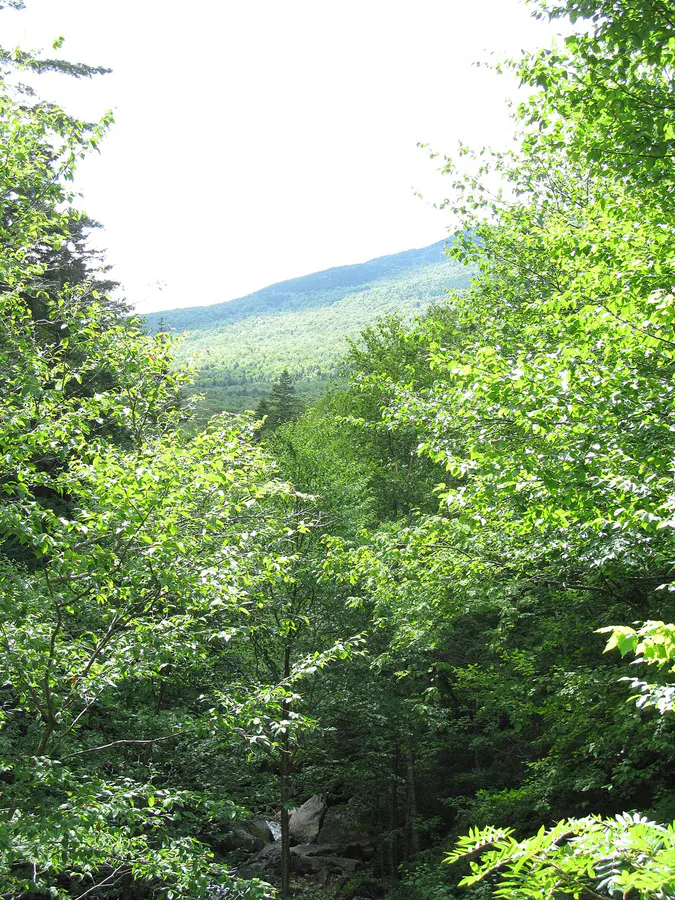
The upper sections of the trail pass through mature spruce-fir forest that has been shaped by wind and ice. The trees are stunted and gnarled, growing close together for mutual protection against the harsh conditions on the exposed mountainside.
The Eyebrow Trail is dangerous when wet. Iron rungs become slippery, rock surfaces lose traction, and the consequences of a fall are severe. Do not attempt this trail in rain, fog, or when the rock is wet from recent precipitation. The trail is also not suitable for dogs, the rung sections are not passable for four-legged companions. Children should only attempt this trail if they have genuine scrambling experience and are comfortable with exposure.
When to Go
Spring
Snow and ice linger on the cliff face into late May. The rungs can be coated with ice. Wait until the rock is reliably dry, typically mid-June.
Summer
July and August offer dry rock and the safest conditions on the rungs. Mornings are best before afternoon humidity makes the rock damp.
Fall
September and early October are excellent if the rock is dry. The cliff face looks out over a valley of red and gold foliage. Shorter days mean starting earlier.
Winter
The iron rungs and exposed rock are extremely dangerous with ice. This trail should not be attempted in winter conditions.
Getting There
From Bethel, take Route 26 north through Newry into Grafton Notch. The trailhead is on the west side of Route 26 at the height of the Notch, the same parking area used for Old Speck Mountain. Signs mark the state park area. The drive from Bethel is approximately 25 minutes.
From Portland, take the Maine Turnpike to Gray, then Route 26 north. Total drive time is about 2 hours 25 minutes.
If the Eyebrow Trail sounds too intense, try Table Rock across the road instead. It offers similar views of the Notch with less exposure and no iron rungs. If the Eyebrow is not enough, continue up the AT from the top of the Eyebrow to Old Speck’s summit, the Eyebrow makes a dramatic opening act for the full Old Speck ascent.
Packing List
- Hiking boots with excellent traction (not trail runners)
- Gloves for gripping iron rungs
- 1-2 liters of water
- Small daypack that sits tight against your back
- Camera secured with a strap (do not carry it loose on the rungs)
- Rain jacket (but turn back if rain starts)
- First aid kit
- Helmet (optional but wise on the cliff sections)
FAQ
How long does the Eyebrow Trail take?
The full loop, Eyebrow up, AT down, takes 1.5 to 3 hours for most hikers. The rung sections slow people down, and most linger on the ledges to enjoy the views.
Can I bring my dog on the Eyebrow Trail?
No. The iron rung sections are not navigable for dogs. Leave your dog at camp or choose a different trail in the Notch.
Is the Eyebrow Trail as scary as the Precipice in Acadia?
They are comparable in style, both use iron rungs on exposed cliff faces. The Eyebrow is shorter and arguably slightly less exposed than the Precipice, but both require comfort with heights and hand-over-hand climbing.
Can I do the Eyebrow as part of the Old Speck hike?
Yes. Many hikers use the Eyebrow as the lower portion of the Old Speck ascent, reconnecting with the AT above the cliff band and continuing to the summit. This adds minimal extra distance and makes for a more interesting climb.
What if I get halfway up and want to turn back?
The rung sections are harder to descend than ascend. If you are uncomfortable, it is generally better to continue up through the remaining sections and descend via the easier AT route than to try to reverse the rungs.