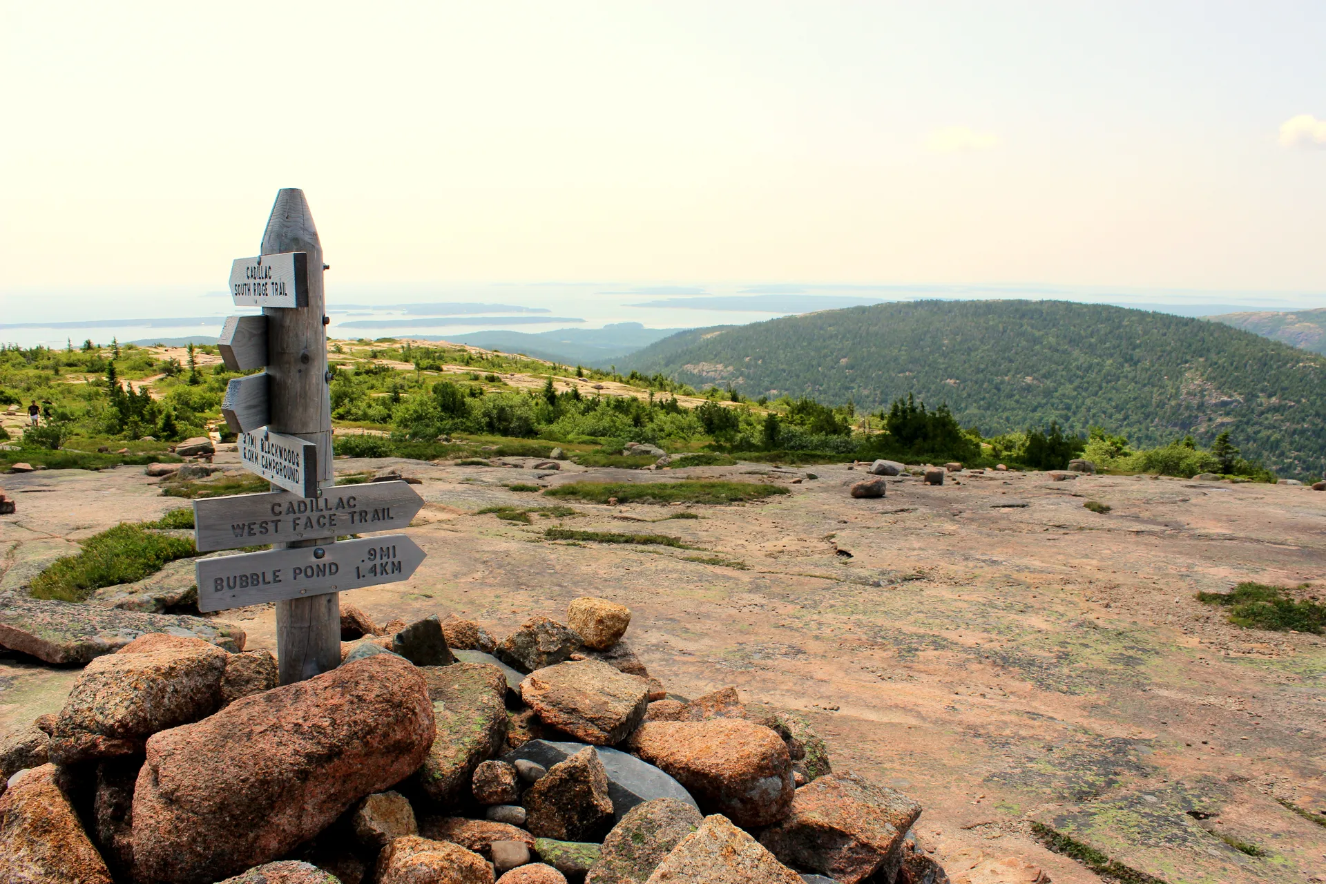
Acadia’s Forgotten Summit
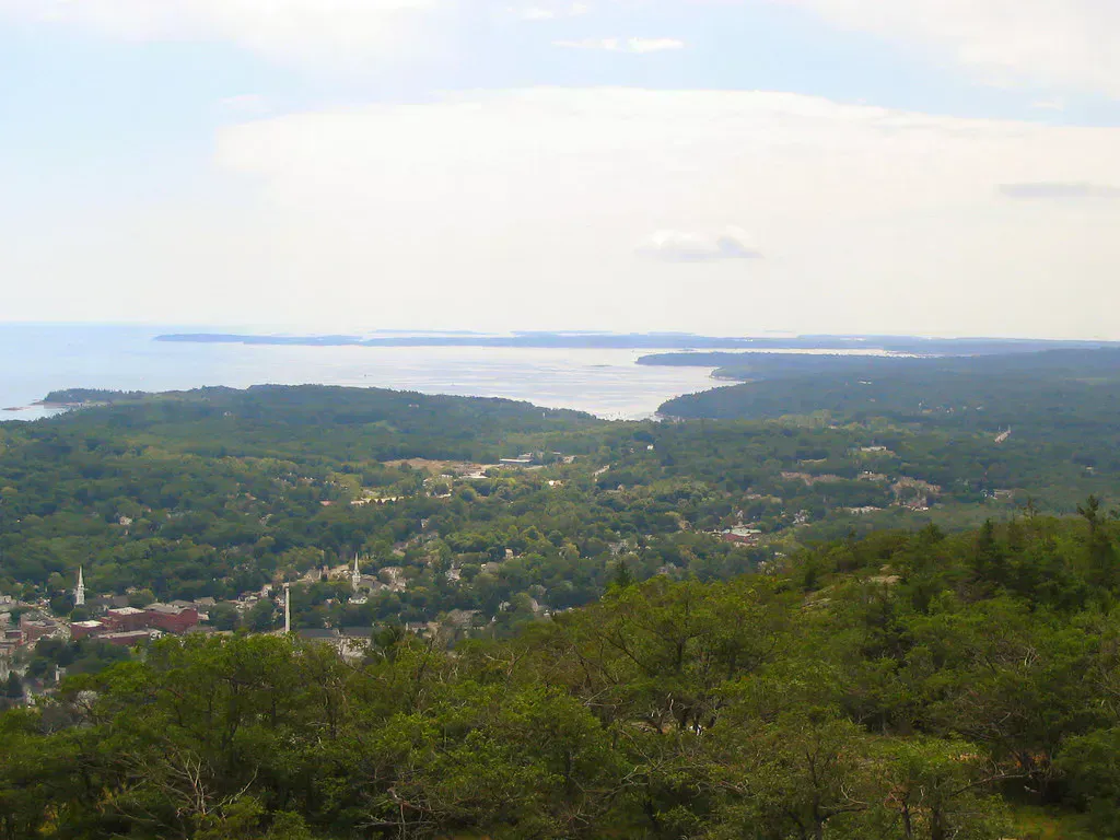
Sargent Mountain rises to 1,373 feet, just 157 feet shy of Cadillac, but draws a fraction of the visitors. There is no road to the top. The reward for the climb is a long open granite ridge with views in every direction — Somes Sound and the western half of Mount Desert Island to the west, Cadillac and the Atlantic to the east, and on clear days, lake-stippled woods stretching to the mainland. It is one of the best hikes in Acadia National Park.
This is the hike Acadia regulars do when they want the views without the Cadillac sunrise crowd.
Routes to the Summit
There are several approaches. The most popular is the South Ridge Trail from the Jordan Pond House parking area, a roughly 5-mile round trip with about 1,150 feet of climbing. The route gains the ridge gradually and stays open and exposed for the upper half of the climb.
The Hadlock Brook / Maple Spring approach from the Norumbega trailhead is shorter but steeper. The Penobscot-Sargent traverse — climbing Penobscot Mountain first and continuing across to Sargent — is the classic ridge walk in Acadia and well worth the extra mileage.
The summit is exposed granite at 1,373 feet, well above tree line by Acadia standards. Wind and fog roll in fast off the Atlantic. A windbreaker and a warm layer make a 20-degree difference at the top, even on a hot July day.
What You Will See From the Top
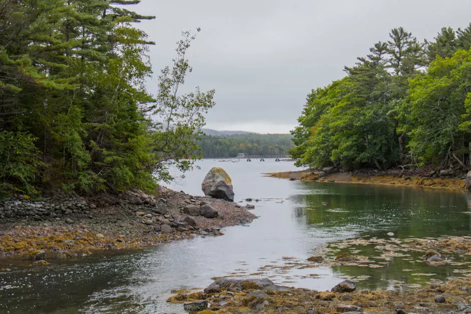
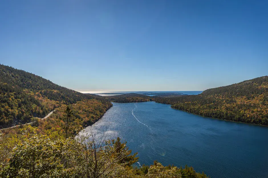
The summit itself is broad open granite with a small cairn. From north to east the view sweeps across Eagle Lake and the Bubble Pond ridge to Cadillac. To the south you look down on Jordan Pond, the Bubbles, and the harbor below. To the west, Somes Sound, the only true fjard on the eastern US coast, cuts the island in two.
There is no fire tower or summit register. The view is the reward.
For a less-crowded approach, start from the Parkman Mountain trailhead on Route 198 and traverse Parkman, Bald Peak, Gilmore Peak, and Sargent in a 6-mile out-and-back. You will see almost no one before the Sargent summit, and you tag four named peaks in the process.
When to Go
Spring
Snow lingers above 1,000 feet into April. Lower trails muddy through May.
Summer
Long days and clear ridge walking. Bring water. There are no reliable summit sources.
Fall
September-October peak foliage from the ridge is one of the best views in Maine.
Winter
Ice and snow on the ridge. Microspikes minimum, often needs full crampons.
Getting There
From Bar Harbor, take Park Loop Road south past Sieur de Monts to Jordan Pond House. Park in the South Ridge Trail lot near the Pond House. The trail leaves the lot heading west and climbs gradually onto the ridge. Make sure to bring sturdy boots for the open granite slabs on the upper ridge.
The Park Loop Road typically opens mid-April and closes in late November depending on conditions. An Acadia entrance pass is required May through October.
FAQ
Is Sargent Mountain easier than Cadillac?
It is comparable in elevation gain (~1,150 ft on the South Ridge route vs ~1,500 ft on the South Ridge route up Cadillac), but Sargent has no auto road and far fewer hikers. Most people consider Sargent more enjoyable as a hike.
Are dogs allowed?
Yes. Sargent's trails are part of Acadia's standard pet-friendly trail network. Dogs must be on a six-foot leash.
How long does the South Ridge route take?
Most hikers take 3 to 4 hours round-trip from the Jordan Pond House.
Can I link Sargent and Penobscot?
Yes. The Penobscot to Sargent traverse is one of the classic Acadia ridge walks. Add about 1 mile to the round trip from Jordan Pond.
Is there cell service on the summit?
Spotty. Verizon and AT&T usually get a signal on the open ridge but it disappears below tree line.