The Quiet Side of Baxter State Park
While most Baxter State Park visitors focus on Katahdin and the southern mountains, the park’s northern end holds some of its most rewarding and least-visited terrain. South Branch Mountain sits deep in the Traveler Range in northern Baxter, offering a 3.4-mile round trip hike to a 2,599-foot summit that provides sweeping views of one of the most remote mountain landscapes in the eastern United States. On a summer Saturday when Katahdin has 200 hikers on its slopes, you might see two or three people on South Branch Mountain.
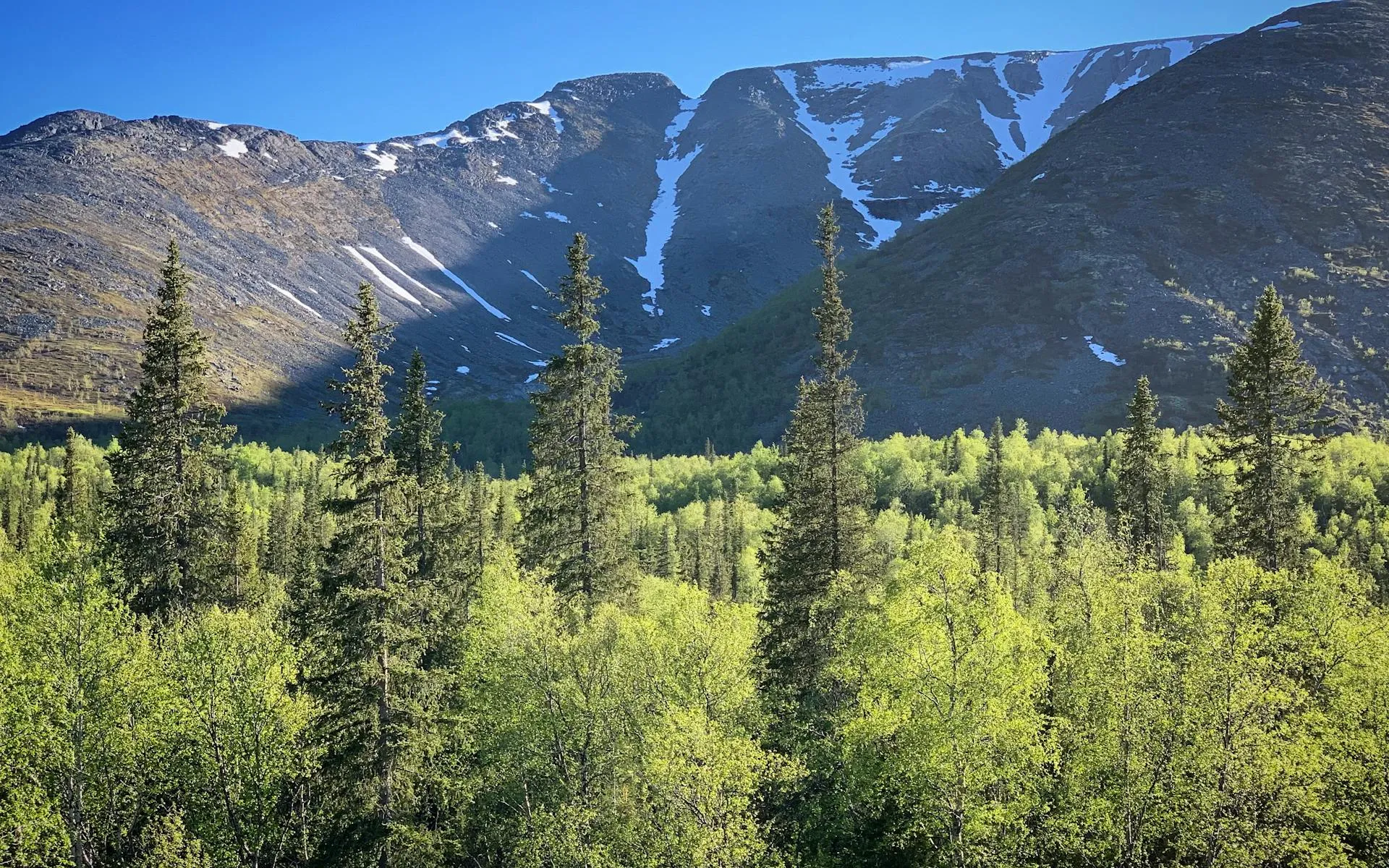
The Traveler Range is a geologically distinct group of peaks in the northern third of Baxter State Park, formed from ancient rhyolite lava flows rather than the granite that makes up Katahdin. The rock is lighter in color and breaks into sharp, angular fragments that give the peaks a rugged, almost alpine character. South Branch Mountain is the most accessible summit in this range, with a well-maintained trail that gains about 1,400 feet in 1.7 miles.
The views from the summit encompass the full sweep of the Traveler Range: North Traveler, The Traveler, Center Ridge, and Peak of the Ridges spread across the skyline in a dramatic horseshoe. Below the peaks, the South Branch ponds and the vast spruce-fir forest of northern Baxter stretch to the horizon. On clear days, Mount Katahdin is visible to the south, its massive profile unmistakable even at 20 miles distance.
The Trail
The trailhead for South Branch Mountain is located in the South Branch Pond area at the northern end of Baxter State Park, accessible via the park’s Perimeter Road from either the Togue Pond gate (south entrance) or the Matagamon gate (north entrance). The Matagamon gate is considerably closer, about 8 miles of gravel road to the trailhead.
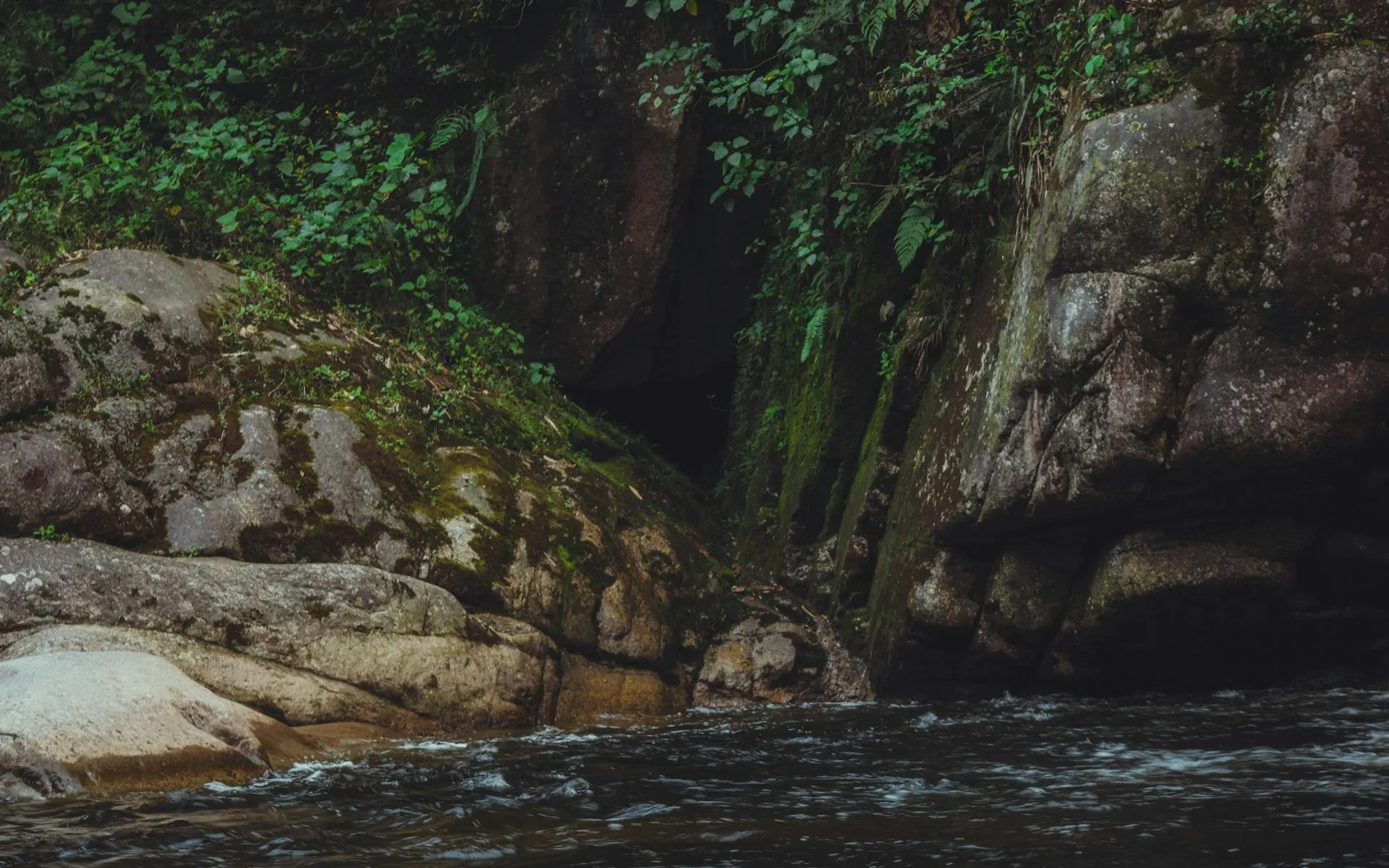
The South Branch Mountain Trail departs from near the South Branch Pond Campground and immediately enters a dense spruce-fir forest. The first half-mile is relatively gentle, following the contours of the lower slope through a mix of spruce, fir, and birch. The forest floor is thick with moss, bunchberry, and clintonia, and the air smells of balsam fir.
After about half a mile, the trail begins to climb in earnest. The grade steepens and the footing becomes rougher, with exposed roots and angular rock fragments underfoot. The trail follows a series of switchbacks through the forest, gaining elevation steadily. At about 1.2 miles, the trees begin to thin and the first views appear through gaps in the canopy.
The upper trail breaks out of the dense forest and crosses a zone of scrubby spruce and blueberry before reaching the exposed summit ridge. The final push to the summit involves a short scramble over angular rhyolite blocks. The rock is rough and provides good grip, though some of the blocks are loose and require testing before committing your weight.
The summit itself is a rocky dome with views in nearly every direction. A small cairn marks the high point. There is no trail sign or register at the top, just the rock, the wind, and the view.
Enter Baxter State Park through the Matagamon gate (north entrance) to reach the South Branch Pond area most efficiently. The drive from the south entrance via the Perimeter Road is much longer and rougher. The Matagamon gate opens at 6:00 AM. Arrive early, especially on summer weekends, as the park limits the number of vehicles admitted.
What You’ll See
The summit panorama is dominated by the Traveler Range. North Traveler Mountain (3,152 feet) rises directly to the northeast, its sharp ridgeline cutting the sky. The Traveler (3,541 feet) and Peak of the Ridges extend the range to the east. The peaks are bare and angular above treeline, with light-colored rhyolite rock that contrasts sharply with the dark green spruce forest below.
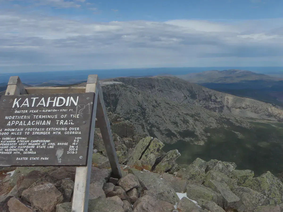
To the south, Upper and Lower South Branch Ponds lie in the valley between South Branch Mountain and the Traveler Range. These remote ponds are renowned for their crystal-clear water and brook trout fishing. The outlet stream connecting the ponds glints through the forest below. Further south, the mountains of central Baxter rise in succession, culminating in Katahdin’s massive profile on the horizon.
To the west and north, the view is vast, unbroken forest. This is the Maine North Woods at its most expansive: millions of acres of spruce, fir, and birch stretching to the Canadian border without a road, building, or clearing in sight. It is one of the largest undeveloped forest landscapes remaining in the eastern United States.
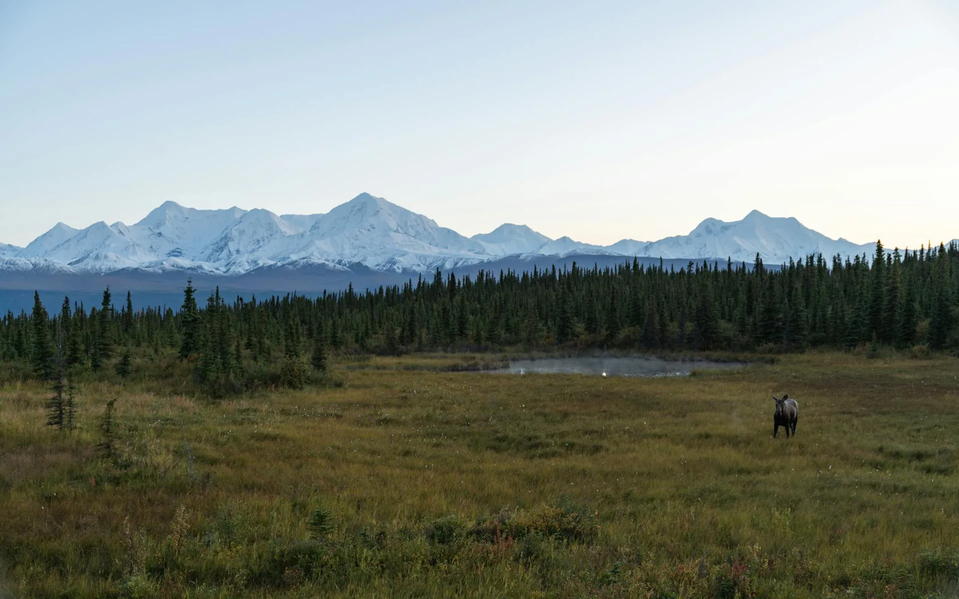
Wildlife in this part of Baxter is abundant. Moose are common around the South Branch Ponds and are frequently seen feeding in the shallows at dawn and dusk. Black bears inhabit the surrounding forest. Loons call from the ponds. Spruce grouse, boreal chickadees, and gray jays are regular forest residents. In fall, the forest canopy around the ponds blazes with birch and maple color against the evergreen backdrop.
Baxter State Park is a wilderness area with no cell service, limited facilities, and strict rules. The park closes its gates when day-use capacity is reached. Weather in the Traveler Range can change rapidly. Carry warm layers and rain gear even on clear days. The rhyolite rock on the upper trail can be slippery when wet. Know the park rules: no pets, no glass containers, no audio devices. This is genuine wilderness where you are responsible for your own safety.
When to Go
Spring
The park opens May 15 but the South Branch Pond road may not open until late May or early June due to snow and mud. Blackflies are intense in June.
Summer
July and August offer the most reliable weather and the driest trail conditions. Bugs diminish by mid-July. Long days allow for a relaxed pace.
Fall
Late September and early October bring spectacular foliage around the ponds and peaks. Cool temperatures, no bugs, and the fewest visitors of the hiking season.
Winter
The park is inaccessible by vehicle in winter. The Perimeter Road and South Branch Pond road are not plowed. Winter access requires significant backcountry skills and a long approach.
Getting There
From the Matagamon Gate (recommended): From Patten, take Route 159 west for about 24 miles to the Matagamon Gate entrance of Baxter State Park. From the gate, drive approximately 8 miles on the park’s gravel Perimeter Road to the South Branch Pond Campground and trailhead. The road is unpaved and rough in spots but passable for standard vehicles.
From Portland: Take I-95 north to Sherman (exit 264). From Sherman, take Route 11 north to Patten, then Route 159 west to Matagamon Gate. Total drive is about 5 hours.
From Bangor: Take I-95 north to Sherman, then Route 11 to Patten and Route 159 to Matagamon Gate. About 2.5 hours.
The South Branch Pond parking area has limited space. Arrive before 8:00 AM on busy summer weekends to ensure entry.
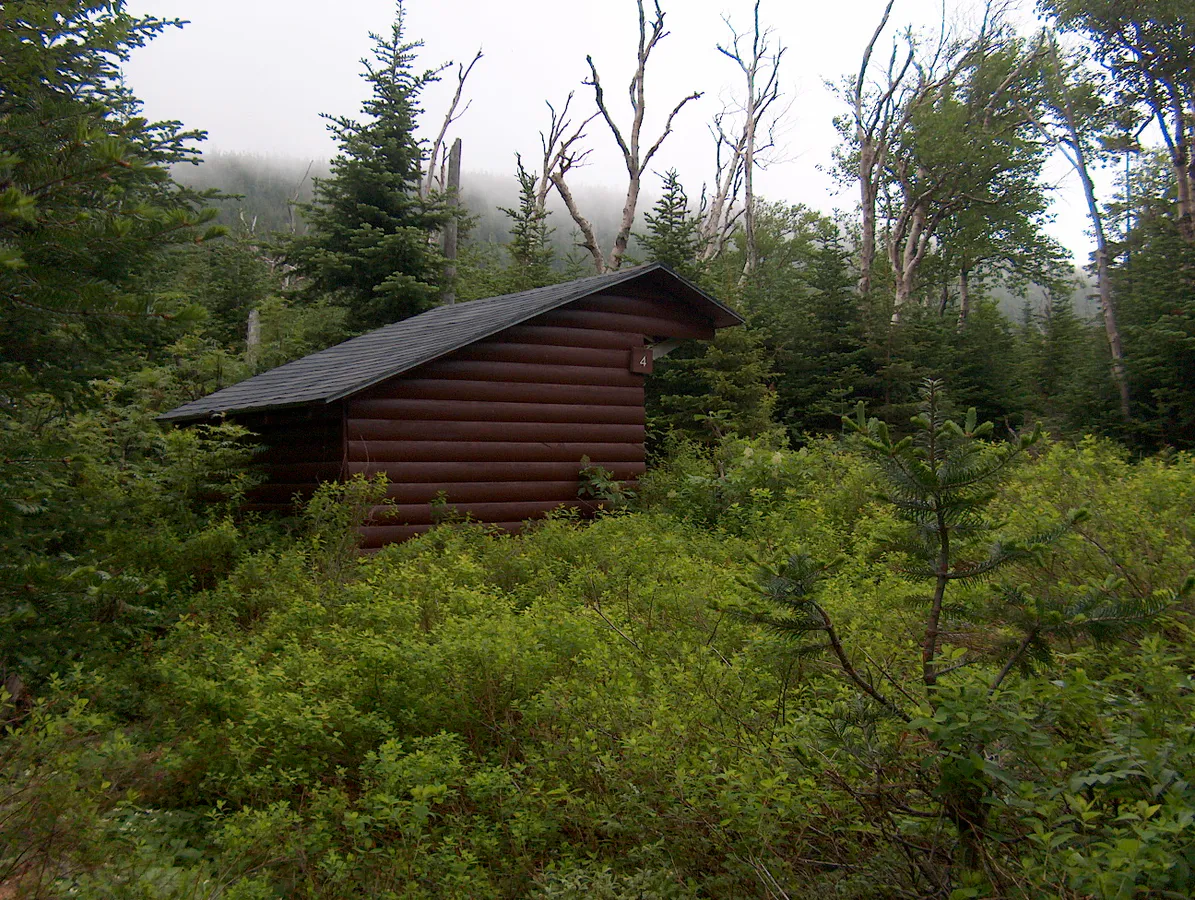
If you can swing a multi-day trip, reserve a campsite or lean-to at South Branch Pond Campground. This is one of the most beautiful campground settings in all of Baxter State Park, with sites right on the pond shore and views up to the Traveler Range. A night here followed by an early-morning hike up South Branch Mountain is a quintessential northern Maine experience. Reserve well in advance through the Baxter State Park reservation system.
Packing List
- Sturdy hiking boots (rocky, rooty trail)
- 1.5-2 liters of water
- Lunch and snacks
- Rain jacket and warm layer (mountain weather changes fast)
- Bug spray (essential June through mid-July)
- Map of Baxter State Park (no cell service for GPS)
- First aid kit
- Trekking poles for rocky descent
- Baxter State Park entrance fee (cash or check preferred)
- Binoculars for spotting moose and distant peaks
FAQ
How long does the South Branch Mountain hike take?
Most hikers complete the 3.4-mile round trip in 2.5 to 3.5 hours, including time on the summit. The trail is steep in sections but the distance is short.
Can I bring my dog to South Branch Mountain?
No. Dogs are not allowed anywhere in Baxter State Park. This is a park-wide rule with no exceptions.
Is South Branch Mountain crowded?
Almost never. This is one of the least-visited summits in Baxter State Park. On a typical summer day, you might see a handful of other hikers. It is common to have the summit entirely to yourself.
How do I get to the north end of Baxter State Park?
Use the Matagamon Gate (north entrance), accessible from Patten via Route 159. The road from the south entrance (Togue Pond) through the park to South Branch Pond is very long and rough.
What is the Traveler Range?
The Traveler Range is a group of peaks in northern Baxter State Park formed from ancient rhyolite volcanic rock. It includes North Traveler (3,152 ft), The Traveler (3,541 ft), Peak of the Ridges, and South Branch Mountain. The range is geologically distinct from the granite mountains of southern Baxter.