Downeast Maine’s Wild Whitewater
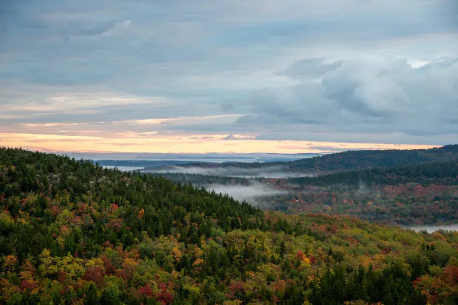
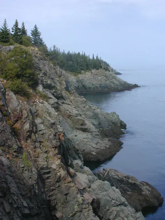
The Machias River drops out of the interior forests of Washington County and runs southeast to the coast at Machias Bay, passing through some of the most remote and least-visited terrain in the eastern United States. The paddling sections offer continuous Class II rapids with several Class III drops, all set in a wilderness corridor where you are more likely to see moose than other paddlers.
The river has deep historical significance. Machias was the site of the first naval battle of the American Revolution in 1775, and the river powered sawmills that built the town into a lumber center. More recently, the Machias has been central to Atlantic salmon restoration efforts. The river is one of eight remaining salmon rivers in Maine, and the cold, clean water and gravel spawning beds make it critical habitat.
The paddling season is relatively short. The Machias is a smaller river that depends on snowmelt and rain for navigable water levels. By late summer, the upper sections can become too shallow for comfortable paddling. Spring and early summer are the prime window.
The Machias River is remote, with limited road access along most of its length. Cell service is nonexistent in the upper sections. Class III rapids require solid whitewater skills. This river is not suitable for beginners. Paddle with a partner, carry rescue gear, and leave a float plan with someone who will call for help if you do not check in on time.
Paddling the River
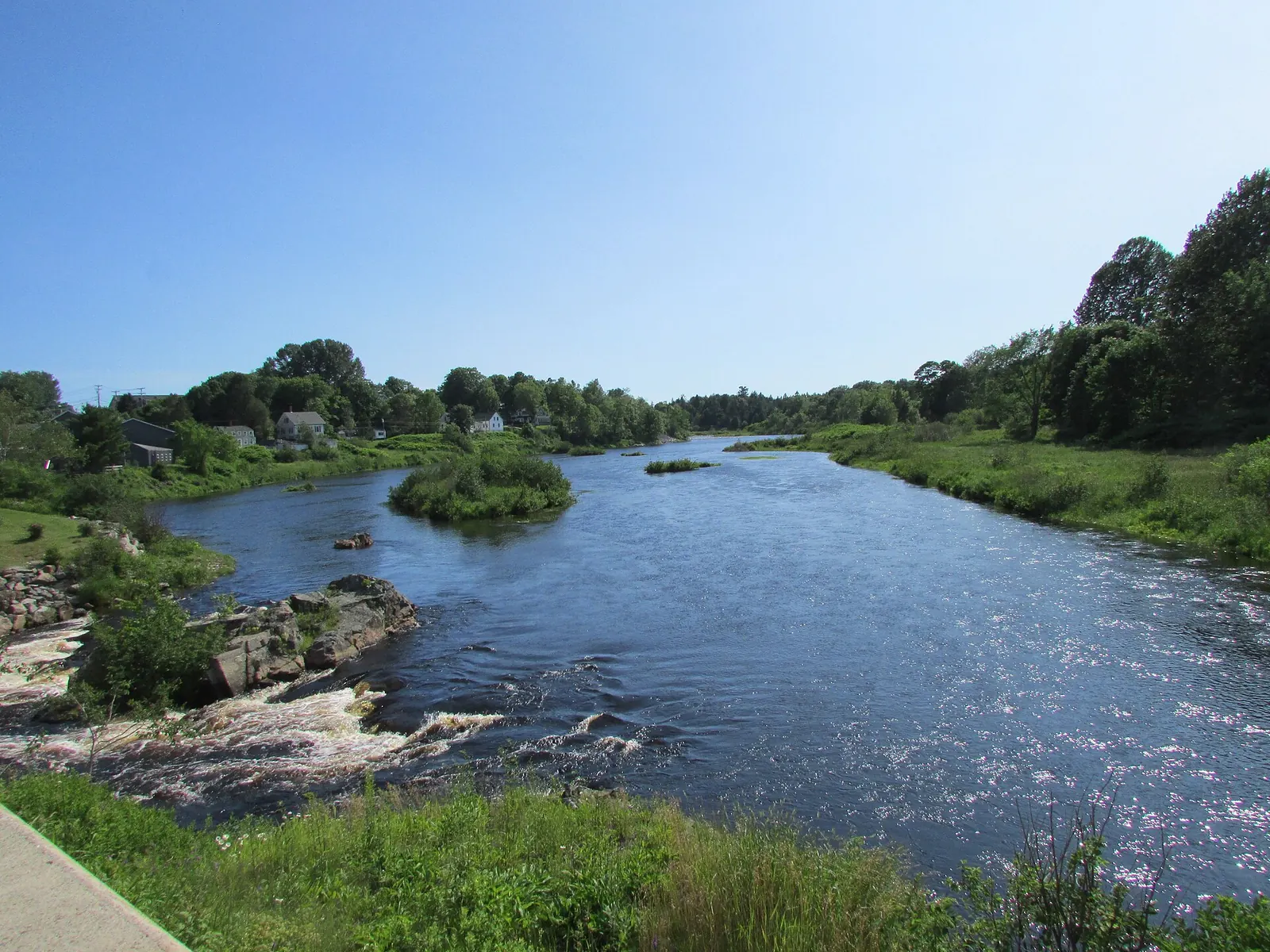
The most commonly paddled section runs roughly 30 miles from the upper access points near Fifth Machias Lake downstream to the town of Whitneyville, just above tidewater. This is typically done as a two-day trip with a riverside camp, though strong paddlers can cover it in a long day when water levels are adequate.
The upper stretch from the lake outlets is the most remote. The river flows through dense spruce-fir forest with no roads or buildings. Rapids here are mainly Class II, formed by ledge drops and boulder gardens. The channel is narrow in places, requiring quick maneuvering around rocks and downed trees, so come with proper whitewater paddling gear.
The middle section around the Holmes Falls area contains the hardest whitewater. Holmes Falls itself is a Class III drop that should be scouted from shore. The lead-in rapid pushes into a constriction with a significant hydraulic at higher water levels. A portage trail exists on river left for those who prefer not to run it.
Below Holmes Falls, the river continues through Class II water with occasional ledge drops before gradually calming as it approaches Whitneyville and the tidal influence.
The Machias is a gauge-dependent river. Check the USGS gauge at Whitneyville online before committing to the drive. Levels between 3.5 and 5.0 feet provide the best paddling. Below 3.0, expect rock-scraping. Above 6.0, the Class III drops become serious and rescue is difficult in the cold, fast water.
Holmes Falls
Holmes Falls is the signature rapid on the Machias and the crux move of the trip. At moderate water levels, it is a clean Class III drop over a ledge into a pool with a strong eddy on river left. At higher water, the hydraulic below the ledge becomes sticky and the approach rapids push harder. Scout from the portage trail on river left, which gives a clear view of the entire drop and the runout below.
The portage is short and well-defined. Many paddlers who are comfortable with Class II water choose to portage Holmes Falls and enjoy the rest of the river without pushing their limits. There is no shame in walking a rapid, especially on a remote river where rescue options are limited.
Fishing and Wildlife
The Machias is a designated Atlantic salmon river, and all salmon fishing is catch-and-release with strict regulations. Brook trout are the more accessible target, and they are present throughout the river system. The cold, clean water supports healthy populations of native brook trout in the 8- to 12-inch range, with occasional larger fish in the deeper pools below rapids, so it is worth stowing fishing gear for the calm stretches.
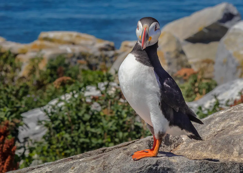
Moose sightings are common, particularly in the upper stretches near the lake outlets where marshy areas provide feeding habitat. Black bears, white-tailed deer, and river otters are also present. Bald eagles and osprey fish the river regularly.
The best brook trout fishing on the Machias is in the pools immediately below the Class II rapids. The churning water creates oxygen-rich holding spots where trout stack up to feed on insects and baitfish. A small Woolly Bugger or Muddler Minnow worked through the tailout of a rapid is deadly here. Fish early morning and evening when the bugs are hatching.
When to Go
Spring
Highest water levels, most exciting rapids. Cold water requires drysuits or wetsuits. Blackflies in June.
Summer
Dropping water levels but still runnable through July. Warmer water, fewer bugs after mid-July.
Fall
Often too low to paddle comfortably. Beautiful foliage but water levels are unpredictable.
Winter
River is frozen or too cold. Not paddleable.
May and June offer the best water levels and most exciting rapids, though the water is cold and blackflies are intense. July is often still runnable and more comfortable. By August, many sections become too shallow unless recent rain has boosted levels.
Practical Information
There are no outfitters on the Machias River. You need your own boat, your own shuttle, and your own gear. The upper put-ins are reached via logging roads that require a North Maine Woods access pass. The roads are generally passable by car but can be rough.
Machias, the town at the river’s mouth, has basic services: gas, groceries, a few restaurants, and modest accommodations. It is a small Downeast community, not a tourist town. Stock up in Ellsworth or Bangor before heading east.
Packing List
Machias River Whitewater Trip
- Whitewater canoe or kayak
- PFD/life jacket (whitewater-rated)
- Helmet for Class III rapids
- Throw rope and rescue gear
- Dry suit or wetsuit for spring trips
- Dry bags for all gear
- Camping equipment for overnight trips
- Water filter (no potable water on river)
- First aid kit
- Satellite communicator, no cell service
- USGS gauge reading (checked before departure)
- Detailed river map
Getting There
The upper access points are reached via logging roads from Route 9 (the Airline Road) between Bangor and Machias. The most common put-in is near Fifth Machias Lake, approximately 2 hours from Bangor on gravel roads. The take-out at Whitneyville is on Route 1, about 5 miles north of Machias.
From Portland, the drive to Machias is approximately 4.5 hours via I-95 and Route 1. From Bangor, Machias is about 2 hours east on Route 9 or Route 1A.
GPS coordinates for Whitneyville take-out: 44.8620, -67.6900
FAQ
How difficult is the Machias River?
The Machias has continuous Class II rapids with one major Class III drop at Holmes Falls. It requires solid whitewater skills, the ability to read water, and comfort with remote paddling. Not for beginners.
Can I paddle the Machias in summer?
Water levels permitting, yes. July is usually still runnable. Check the USGS gauge at Whitneyville before going. Below 3.0 feet, expect too many shallow spots for comfortable paddling.
Is there camping along the Machias River?
Informal camping is possible on gravel bars and clearings along the upper river. There are no designated campsites with facilities. Practice leave-no-trace camping.
Can I fish for Atlantic salmon on the Machias?
Atlantic salmon in the Machias are strictly catch-and-release with barbless hooks. Check current Maine DIFW regulations for season dates and gear restrictions. Brook trout are the more accessible game fish.
How do I arrange a shuttle?
There are no commercial shuttle services on the Machias. You need two vehicles or a willing friend. Leave one vehicle at the Whitneyville take-out and drive the other to the put-in.