A Small Mountain With a Big View
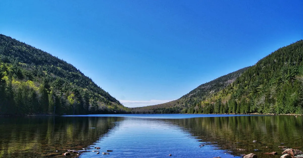
Bauneg Beg Mountain is a modest 866-foot summit in North Berwick, protected within an 89-acre conservation area that the Great Works Regional Land Trust assembled in three pieces across 2000 and 2001. The mountain has three peaks, and despite its low elevation it earns its reputation as one of the better short hikes in York County. From the open ledge on the Middle Peak, the best lookout, you can see northwest to New Hampshire’s White Mountains and east to the Atlantic on a clear day.
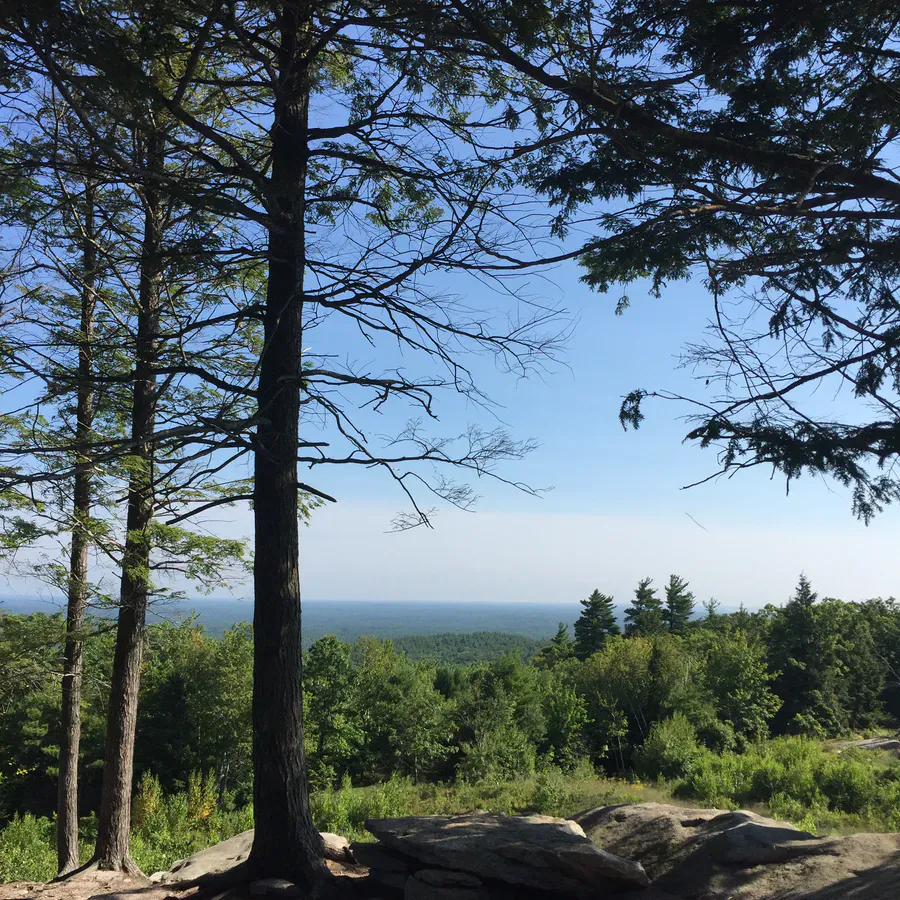
The forest here is a tidy mix of hardwoods and conifers, with a pine grove and granite ledges along the way. The signature feature is the Devil’s Den, a jumble of large boulders near the summit that gives the climb a bit of scramble for anyone who wants it. It is a popular family destination precisely because you get a real summit and a real view for a fairly short, manageable effort.
The Trails
There are about two miles of trail in the conservation area. From the trailhead on Fox Farm Hill Road, the well-built Bauneg Beg Mountain Trail climbs gently for roughly half a mile to a junction. Bear left onto Ginny’s Way for the easier route that loops around and up to the summit while skirting the boulders. Bear right onto Linny’s Way if you want the rockier line through the Devil’s Den, with a brief scramble that is steep but not technical for most hikers. The full out-and-back to the summit runs well under two miles round trip.
Overall the hike is moderate, mostly because of the short steep pitches and the boulders rather than any real distance. It is a good first summit for kids who are ready for a little clambering. Note that the conservation area’s separate South parcel does not currently connect to the main trail system by trail.
Rocky beaches & streams
Sites & Amenities
This is a simple trailhead preserve. There is a small parking area on Fox Farm Hill Road at the address 281 Fox Farm Hill Road, a trail kiosk, and that is about it. There are no restrooms, no drinking water, and no trash service, so come prepared and carry everything out. Dogs are welcome and the area is family-friendly. The preserve is open year-round and is used for cross-country skiing and snowshoeing in winter as well as hiking the rest of the year.
Getting There
From Route 4 or Route 9 in the North Berwick area, follow local roads to Fox Farm Hill Road; the trailhead and small lot are on the road at number 281. It is roughly an hour up from Portland and well off the beaten path, so cell service can be spotty on the approach. The roads are quiet and rural, so watch your turns and use a downloaded map if you are unsure.
When to Visit
Spring
A pleasant early-season hike once mud season passes. Black flies arrive in mid to late May.
Summer
Full leaf cover on the climb and clear views from the Middle Peak ledge on dry days.
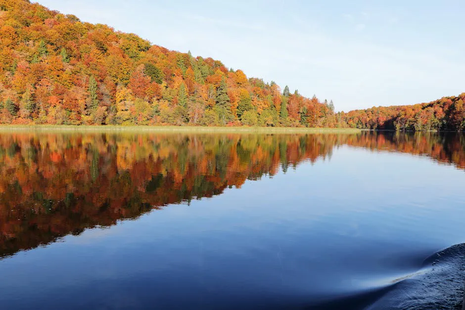
Fall
Foliage across southern Maine and the clearest long-distance views to the White Mountains.
Winter
Open for snowshoeing and skiing; the Devil's Den boulders get icy, so the easier Ginny's Way route is safer.
Fall is the standout for the views, but this is a reliable hike any time the trail is clear of ice.
Packing List
Bauneg Beg Mountain Day Hike
- Sturdy shoes or hiking boots for the boulders
- 1 liter of water
- Bug spray in late spring and early summer
- A snack for the summit ledge
- Downloaded offline map (rural roads, spotty service)
- Microspikes in winter for icy ledges
FAQ
How long is the Bauneg Beg Mountain hike?
The trail network is about two miles total. The out-and-back to the summit is well under two miles round trip, so most families finish in one to two hours.
How tall is Bauneg Beg Mountain?
The highest of its three peaks reaches 866 feet. The best view is from the Middle Peak ledge.
What is the Devil's Den?
A section of large granite boulders near the summit. Linny's Way leads through them with a short steep scramble; Ginny's Way loops around them for an easier climb.
Are dogs allowed?
Yes. The Great Works Regional Land Trust preserve is dog-friendly and family-friendly. Carry out all pet waste.
Is there a fee or parking?
No fee. There is a small free parking area on Fox Farm Hill Road at the trailhead.
For another southern Maine summit with coastal views, try Mount Agamenticus, or chase a waterfall nearby at Orris Falls.