Ice in the Maine Summer
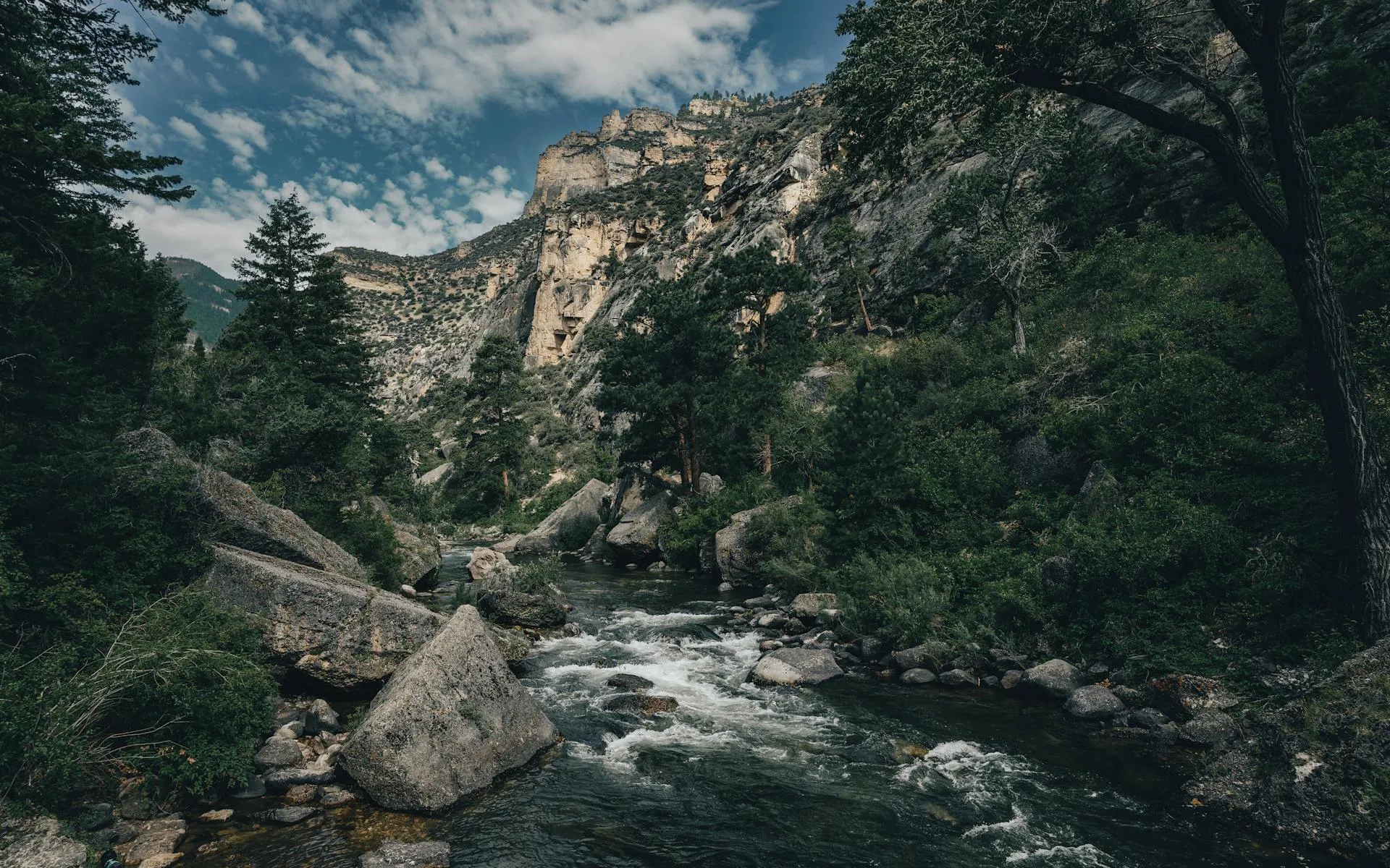
In the deep woods south of Baxter State Park, a tumble of massive granite boulders holds a secret: ice that persists well into summer, sometimes year-round, in the dark spaces between the rocks. The Debsconeag Ice Caves are not caves in the traditional sense. They are a talus field, a chaotic pile of house-sized boulders left behind when glaciers retreated roughly 12,000 years ago. The boulders piled against each other in such a way that deep passages and chambers formed between them, shielded from sunlight and insulated from warm air. Cold air, being denser, settles into these voids and stays trapped. The result is a natural icebox where temperatures inside the caves can hover near freezing even when it is 80 degrees in the forest above.
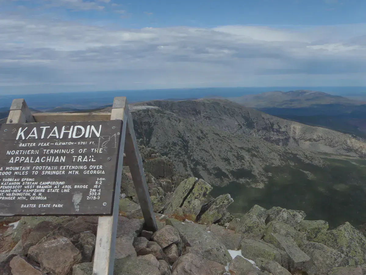
The ice caves sit within the Debsconeag Lakes Wilderness Area, a 46,271-acre preserve acquired by The Nature Conservancy in 2002. The preserve lies in the shadow of Mount Katahdin, connected to Baxter State Park by a 195,000-acre working forest conservation easement that TNC helped secure at the same time. Together, these protected lands form one of the largest contiguous conservation areas in the eastern United States. The ice caves are the most visited feature of the preserve, but the wilderness area also includes pristine ponds, old-growth forest, and remote backcountry that sees very few visitors.
The Hike
The Ice Caves Trail is approximately 2 miles round trip, beginning at the parking area at the end of Hurd Pond Road. The trail leads through northern spruce-fir and hardwood forest, climbing gradually through the woods before reaching the boulder field. The footing is rooty and rocky in places, typical of North Woods trails, but the distance is short and the elevation gain is modest.
At the boulder field, the trail winds up, over, and between granite boulders. Some scrambling is required to explore the deeper passages where ice forms. The main cave entrance is a gap between two large boulders that leads into a dark passage extending 20 to 30 feet into the pile. Inside, the temperature drops dramatically. In early summer, you may find ice formations on the walls and floors. By late summer in warm years, the ice may have melted completely, but the interior remains cold.
The Glacial Story
The boulders that form the ice caves were transported and deposited by the Laurentide Ice Sheet, which covered Maine in ice up to a mile thick during the last glacial maximum about 20,000 years ago. As the glacier retreated, it left behind enormous quantities of rock debris. In this location, a concentrated mass of large granite boulders piled up against a hillside, creating the talus formation.
The ice-trapping mechanism works through a combination of factors. The deep passages between boulders are shielded from direct sunlight. Cold winter air fills the voids and, because cold air is denser than warm air, it settles to the bottom and resists displacement by warmer summer air. The rock mass itself acts as a thermal sink, slowly absorbing and releasing heat. The result is a microclimate inside the caves that can be 40 to 50 degrees colder than the surrounding forest.
The Wilderness Area
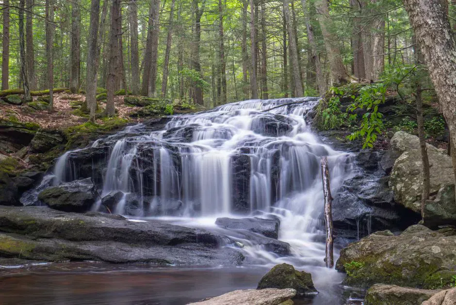
The Debsconeag Lakes Wilderness Area extends well beyond the ice caves. First Debsconeag Lake, accessible from the same parking area, is a pristine pond surrounded by old-growth forest with a shoreline that shows no signs of development. The preserve contains several other remote ponds, wetlands, and forest that harbor moose, black bear, loons, and a variety of boreal bird species.
The preserve is managed by The Nature Conservancy with a philosophy of light-touch access. There are no fees, no reservations, and minimal facilities. The parking area has room for about 10 vehicles, and the trail is marked but not heavily improved. This is a place designed to remain wild.
When to Go
Spring
The best time to see the most ice inside the caves. Road opens late May. Black flies are fierce. Trails can be muddy from snowmelt.
Summer
Ice diminishes through the season but the contrast between the cool caves and warm forest is most dramatic. Best trail conditions. Bugs ease by late July.
Fall
No ice remaining in most years, but the surrounding forest foliage is beautiful. Cool days make for pleasant hiking. Road conditions depend on logging activity.
Winter
Road is not maintained. Access is not practical for most visitors. The caves are fully frozen and buried in snow.
Getting There
From Millinocket, take the Golden Road west approximately 18 miles to Abol Bridge. Immediately after crossing the bridge, turn left and keep left at the fork onto Hurd Pond Road. Follow the road about 4 miles to the parking area at the end. The road is gravel and generally passable in a regular car in dry conditions, though high clearance is helpful.
From Bangor, the drive to Millinocket takes about 1.5 hours via I-95 to Exit 244, then Route 11/157 north. From the Millinocket town line to the trailhead is about 30 minutes on the Golden Road. From Portland, expect about 4 to 4.5 hours total.
GPS coordinates for the parking area: 45.8600, -68.9700
FAQ
Are the Debsconeag Ice Caves real caves?
Not in the geological sense. They are a talus formation: a pile of massive glacial boulders with passages and chambers between them. The spaces between the boulders trap cold air and retain ice well into summer.
When is the best time to see ice in the caves?
Late May through June offers the most ice. By August in a warm year, the ice may have melted completely, though the interior remains noticeably cold. Visit as early in the season as road access allows for the best chance of ice.
Is there a fee to visit the ice caves?
No. The Debsconeag Lakes Wilderness Area is managed by The Nature Conservancy and is open to the public at no charge.
Do I need special equipment?
Sturdy hiking boots, a headlamp, and careful footing are essential. The rocks are often wet and slippery. No ropes or climbing gear are needed, but a headlamp is critical for exploring the dark passages.
Is there cell service at the ice caves?
No. There is no cell service at the trailhead, on the trail, or at the caves. Download offline maps and tell someone your plans before heading out.