Two Thousand Years of Oyster Shells
On the banks of the Damariscotta River, just a short walk from the center of the twin villages of Damariscotta and Newcastle, a mound of oyster shells rises from the riverbank. The Glidden Midden is a shell heap deposited by Indigenous peoples over approximately 2,000 years, from roughly 200 BC to 1600 AD. The pile of discarded oyster shells, clam shells, and other food remains once stood over 30 feet high and stretched hundreds of feet along the river. Even after centuries of erosion and commercial mining for chicken feed and road material in the 1800s, the remaining deposit is one of the largest and most significant shell middens on the eastern seaboard. It was designated a National Historic Landmark in 1978.
The Great Salt Bay Heritage Trail loops three miles around the shore of the Great Salt Bay, the tidal basin where the Damariscotta River widens before narrowing again on its way to the ocean. The trail passes through the midden site, along the estuary shore, through mixed forest, and across tidal flats, offering a walk that combines natural beauty with a tangible connection to thousands of years of human history.
The Trail
The trail begins at the parking area off Belvedere Road in Damariscotta and follows the shoreline of the Great Salt Bay in a roughly three-mile loop. The path is maintained by the Damariscotta River Association and is well-marked with occasional interpretive signs.
The Midden Section: The trail passes directly through the Glidden Midden site, where eroded banks expose cross-sections of the shell deposit. The layers of white oyster shells are clearly visible, compressed and compacted by centuries. The oyster shells themselves are enormous compared to modern Damariscotta River oysters, some exceeding a foot in length, evidence of a time when the river’s oyster population was vast and the individual animals grew to extraordinary size.
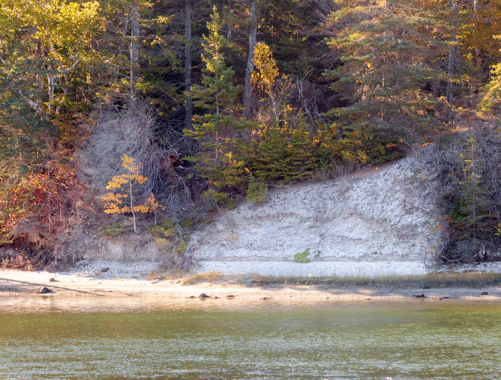
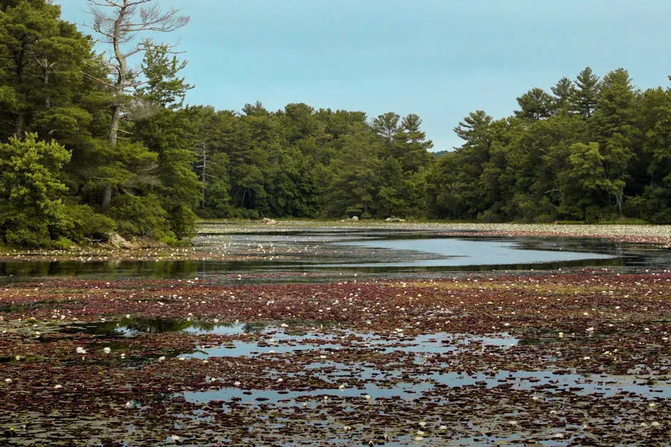
The Estuary Shore: Beyond the midden, the trail follows the edge of the Great Salt Bay, a shallow tidal basin that fills and drains with each tide cycle. At low tide, exposed mudflats attract shorebirds, herons, and egrets. At high tide, the bay becomes a broad, calm body of saltwater reflecting the surrounding forest.
The Woodland Section: The inland portions of the trail pass through mixed hardwood and softwood forest. In spring, wildflowers carpet the forest floor. In fall, the maples and birches turn color against the dark backdrop of spruce and fir.
The Oyster Story
The Damariscotta River was once one of the great oyster rivers of the Northeast. The Indigenous peoples who gathered here harvested oysters from the river for centuries, cooking them on the riverbank and adding shells to the growing middens. The size of the shells, some ten to fourteen inches long, indicates a population of old-growth oysters that had been growing for decades before harvest.
European colonization disrupted the oyster population, and by the early 1800s, the native oysters were gone from the Damariscotta. Today, the river supports a thriving aquaculture industry, and Damariscotta River oysters are among the most prized in New England. The modern farmed oysters are a different species (Crassostrea virginica) than the large native oysters of the midden (also C. virginica, but growing to much larger sizes in the pre-contact ecosystem).
Wildlife
The Great Salt Bay is productive habitat for coastal wildlife. Great blue herons stand in the shallows at low tide. Bald eagles nest along the river and hunt over the bay. Osprey are common in summer, diving for fish in the tidal waters. At low tide, the mudflats attract yellowlegs, sandpipers, and plovers during migration season.
The forest sections support woodpeckers, warblers, and thrushes. In winter, the open water of the bay attracts ducks and the occasional loon.
When to Go
Summer
Warm weather for a comfortable walk. Ospreys and eagles active. Tidal flats alive with shorebirds. Can be buggy in the wooded sections.
Fall
Foliage colors the forest sections. Shorebird migration peaks. Fewer bugs. The Oyster Celebration in September.
Spring
Wildflowers in the forest. Returning osprey and eagles. Muddy in spots after snowmelt.
Winter
Trail is open but can be icy. Wintering ducks on the bay. Quiet and reflective. The midden site is accessible year-round.
Getting There
From Route 1 in Damariscotta, take Belvedere Road north. The trailhead parking area is about 0.5 miles on the right, marked with a Damariscotta River Association sign. The lot holds about 15 cars. From downtown Damariscotta, the trailhead is a five-minute drive or a 15-minute walk.
Checklist
What to Bring
- Start at Belvedere Road trailhead for the full loop
- Visit the Glidden Midden section first (clockwise)
- Read the interpretive signs about the archaeology
- Bring binoculars for shorebirds on the tidal flats
- Wear waterproof shoes for muddy trail sections
- Apply tick repellent in warmer months
- Allow 1.5 to 2 hours for the full 3-mile loop
- Check tide schedule for shorebird viewing at low tide
- Bring water, no services on the trail
- Stop in Damariscotta for oysters after your walk
FAQ
What is the Glidden Midden?
A 2,000-year-old oyster shell midden (refuse heap) deposited by Indigenous peoples along the Damariscotta River. It is one of the largest shell middens on the eastern seaboard and is designated a National Historic Landmark.
Is the trail free?
Yes. The Great Salt Bay Heritage Trail is free and open to the public year-round. It is maintained by the Damariscotta River Association.
How long is the trail?
The full loop is approximately 3 miles. Most people complete it in 1.5 to 2 hours at a leisurely pace with stops at the midden and along the estuary.
Are dogs allowed?
Yes, dogs are allowed on leash. Please clean up after your pet and keep dogs on the trail to protect the archaeological site and wildlife habitat.
Why are the oyster shells in the midden so large?
The shells are from native oysters that grew for decades in a pre-contact ecosystem with no commercial harvest pressure. Individual shells can reach 10 to 14 inches, much larger than modern farmed Damariscotta River oysters.
For another Midcoast nature and history walk, see our guide to Rachel Carson Salt Pond Preserve in New Harbor, about 20 minutes south.