Paddling Through Oyster Country
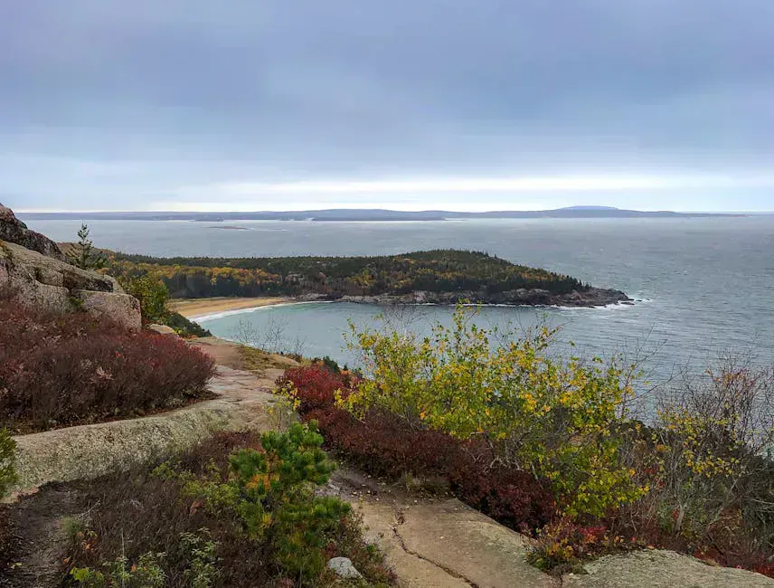
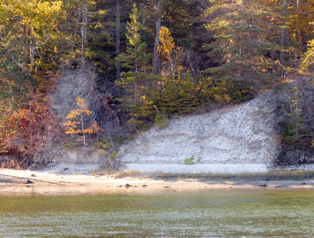
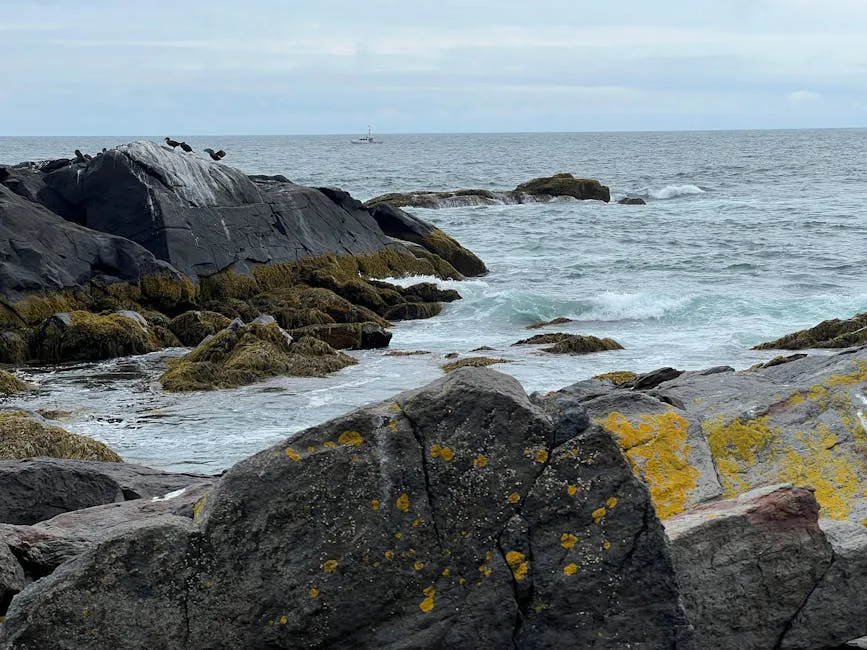
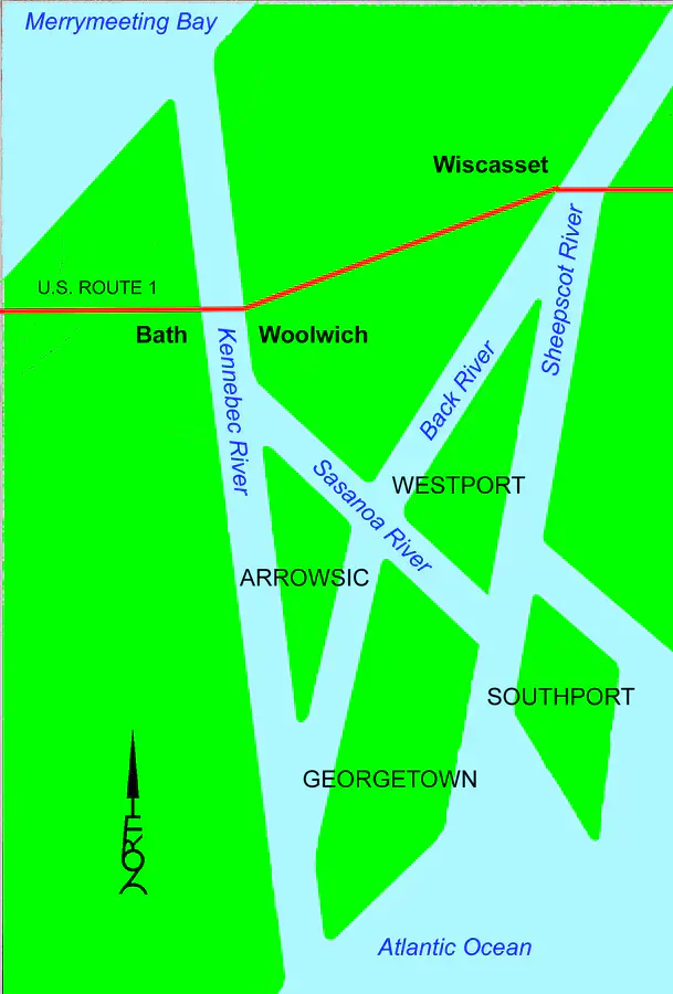
The Damariscotta River is a 12-mile tidal estuary that cuts deep into the midcoast Maine landscape between the towns of Damariscotta and Newcastle. It is one of the most scenic estuary paddles on the Maine coast, combining working waterfront culture, lobster boats, oyster farms, old fish houses, with genuine natural beauty. Harbor seals lounge on ledges, osprey dive for fish, and the shoreline alternates between dark spruce forest and granite ledges that glow in the afternoon sun. A pair of binoculars brings the hauled-out seals and osprey nests into close view.
The Damariscotta River has become synonymous with oysters. The estuary’s cold, nutrient-rich waters produce some of the finest oysters on the East Coast, and the floating cages and rack-and-bag systems of oyster farms dot the river from Damariscotta Mills to the open bay. Paddling past these working farms, you see the aquaculture industry up close and understand why this estuary has supported shellfish harvesting for thousands of years. Ancient oyster shell middens along the banks, some 30 feet tall, testify to the Wabanaki people’s use of this river for millennia.
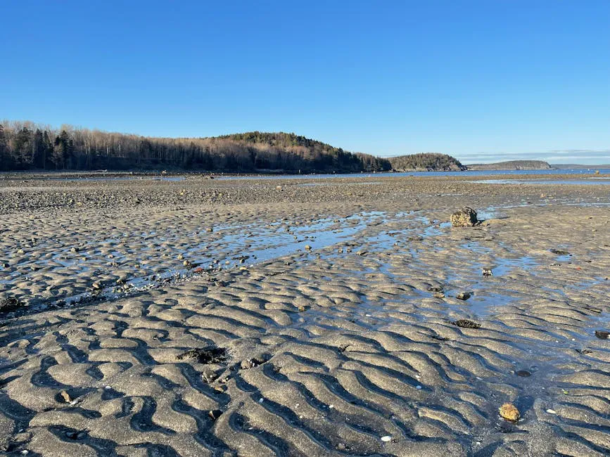
The paddle itself is easy, requiring only basic boat-handling skills and an awareness of tidal timing. The estuary is wide and well-protected from ocean swells, making it suitable for recreational kayakers and canoeists with standard kayaking gear.
The Glidden Midden, about two miles downstream from Damariscotta, is one of the largest oyster shell middens on the East Coast. Preserved by the state, the exposed bank of ancient shells rises dramatically from the water’s edge. Landing a kayak on the rocky shore below and walking up to examine thousands of years of discarded shells is a unique experience. Time your visit for mid-tide so you have a place to land.
Paddling the Estuary
The standard launch is at the town landing in Damariscotta, where a public ramp provides easy access to the river. From here, you paddle downstream (south) through the narrowest section of the estuary, passing under the twin bridges that connect Damariscotta and Newcastle.
Below the bridges, the river widens into a broad estuary flanked by conservation land and scattered homes. Oyster farms appear on both sides, marked by buoys and floating cages. The farms are working operations, maintain a respectful distance and do not disturb the gear.
The estuary opens further as you approach the lower reaches, eventually widening into Damariscotta Bay. The bay is more exposed, and on windy days whitecaps can build. Most kayakers turn around somewhere in the mid-estuary, making a round trip of six to ten miles depending on how far they go.
For a different experience, paddle upstream from Damariscotta toward Damariscotta Lake. The river narrows above the twin bridges and the tidal influence diminishes. The upstream paddle reaches the falls at Damariscotta Mills, where alewives migrate in late spring. The alewife run here draws thousands of spectators and is one of Maine’s signature wildlife events.
The Damariscotta River is an active working waterway. Lobster boats, oyster farm tenders, and recreational vessels share the water. Stay to the edges of the channel, wear a bright PFD, and be especially cautious near the twin bridges where the river narrows and boat traffic concentrates.
Oyster Farms and Aquaculture
Paddling past the oyster farms is one of the unique experiences on the Damariscotta. The industry has grown significantly since the early 2000s, and the estuary now supports dozens of farms producing millions of oysters annually. The floating cages and surface bags are visible from your kayak, and you may see farm workers sorting and grading oysters on floating platforms.
Several Damariscotta restaurants serve locally farmed oysters. After your paddle, walking to one of the waterfront restaurants for a dozen oysters on the half shell, eaten within sight of where they were grown, is the perfect way to end the trip.
After paddling, walk to the Damariscotta River Grill or any of the waterfront restaurants in the twin villages for fresh Damariscotta River oysters. Ask for a sampler plate with oysters from different farms. Each farm’s oysters taste slightly different depending on their exact location in the estuary, a concept called merroir, the shellfish equivalent of terroir. The differences are subtle but real.
When to Go
Spring
Alewife run at Damariscotta Mills in May. Cool weather, fewer paddlers. Estuary is productive for birding.
Summer
Warm weather, calm conditions, seals on ledges, oyster farms in full operation. Peak season.
Fall
Bright foliage, cool mornings, fewer boats. Oyster season continues through fall.
Winter
Cold and windy. The estuary remains ice-free but paddling is uncomfortable.
Summer is the most comfortable season for paddling, with warm air, calm mornings, and long days. Fall offers beautiful foliage along the estuary banks and fewer boats on the water. The alewife run in late May is worth a special trip.
Practical Information
Kayak rentals and guided tours are available in the Damariscotta area. Some outfitters offer specific oyster farm paddle tours that include natural history interpretation and sometimes an oyster tasting component. If bringing your own boat, the Damariscotta town landing is the primary launch with free parking.
Damariscotta and Newcastle are charming twin villages with excellent restaurants, galleries, and shops. The town is a good base for exploring the midcoast, with Pemaquid Point, colonial Pemaquid, and several preserves nearby.
Packing List
Damariscotta River Estuary Paddle
- Kayak or canoe
- PFD/life jacket (bright color for visibility)
- Binoculars for seal and osprey viewing
- Sunscreen and hat
- Water and snacks
- Dry bag for phone and keys
- Tide chart (check before launching)
- Camera
- Cash for post-paddle oysters
Getting There
The Damariscotta town landing is on Main Street in downtown Damariscotta, accessible from Route 1. From Portland, take I-295 north to Brunswick, then Route 1 north to Damariscotta, about 75 minutes. From Camden, Damariscotta is about 30 minutes south on Route 1.
GPS coordinates for Damariscotta town landing: 44.0320, -69.5220
FAQ
Can I visit the oyster farms by kayak?
You can paddle past the farms and observe from a respectful distance. Do not land on or touch farm equipment. Some outfitters offer guided tours with farm access and tastings arranged in advance.
Is the Damariscotta River safe for beginners?
Yes. The estuary is sheltered, calm, and well-suited for recreational paddlers. Basic kayaking skills are sufficient. Be aware of tidal current and boat traffic.
How long is the paddle?
A round trip from Damariscotta to the mid-estuary and back is 6-10 miles, taking 2-4 hours at a relaxed pace.
Will I see seals?
Harbor seals are regularly seen on ledges in the lower estuary, especially in summer. Sightings are common but not guaranteed.
When is the alewife run?
The Damariscotta Mills alewife run peaks in late May and early June. The fish ladder viewing area is open to the public and draws large crowds.