Deep Wilderness on the Appalachian Trail
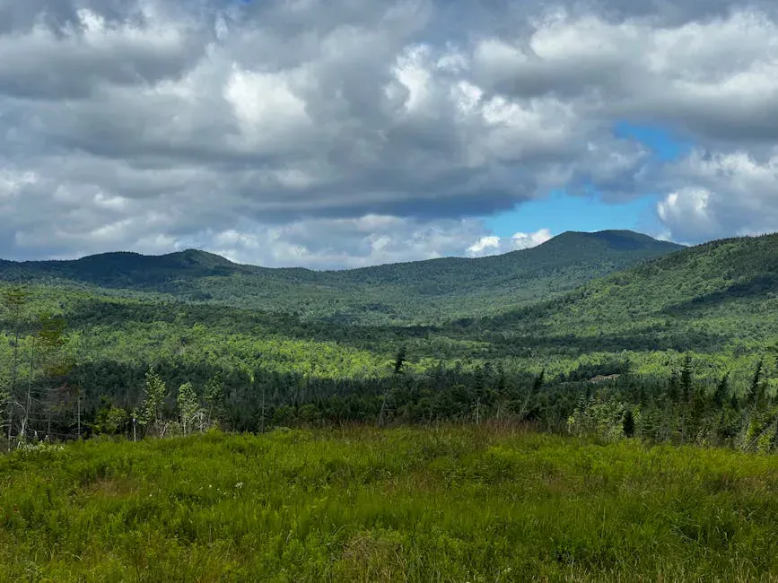
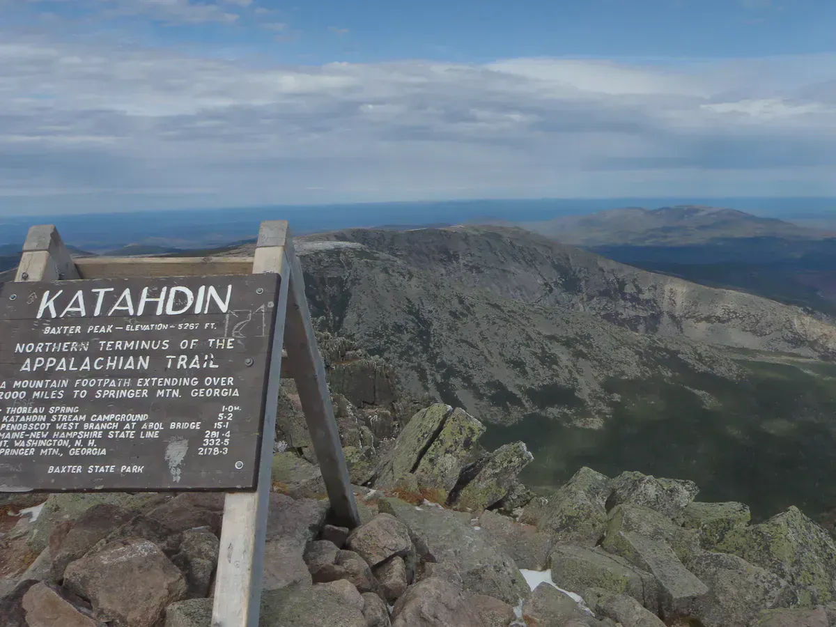
Nahmakanta Public Reserved Land covers roughly 43,000 acres of unbroken forest, ponds, and streams deep in northern Piscataquis County. The centerpiece is Nahmakanta Lake, a clear, cold body of water surrounded by dense spruce-fir forest with no development on its shores. The Appalachian Trail passes directly through the property, skirting the western shore of the lake on its way between the 100-Mile Wilderness and Baxter State Park.
This is one of the most remote publicly accessible places in Maine. The nearest paved road is over an hour of gravel driving from the property. Cell service does not exist here. What you get in return is genuine wilderness solitude, outstanding fishing, reliable moose sightings, and some of the darkest night skies in the eastern United States.
The roads into Nahmakanta are private logging roads that require navigating unmarked intersections for miles. A DeLorme Maine Atlas or downloaded offline maps are essential. GPS signal is unreliable, and cell service is nonexistent. Do not rely on your phone for navigation. Carry a paper map.
Campsites
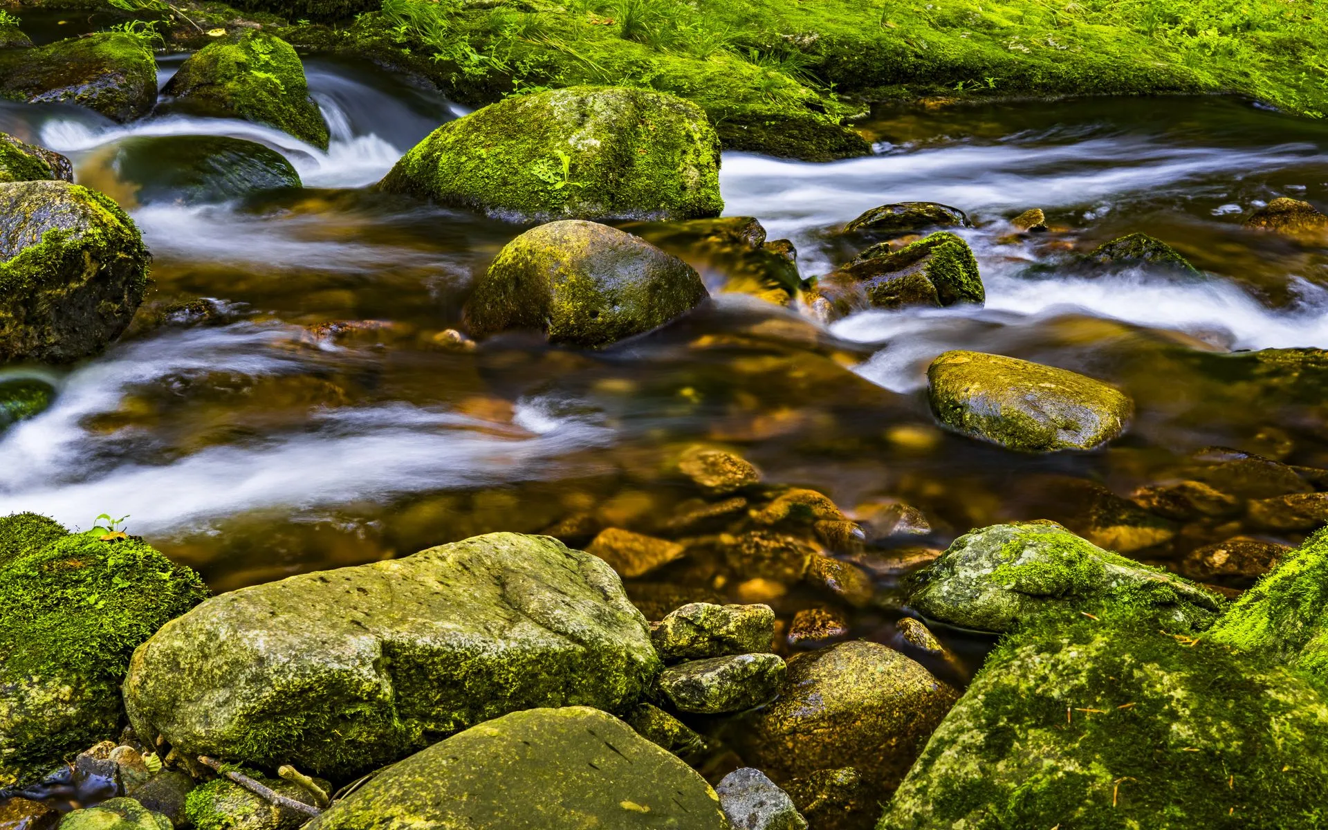
Primitive campsites are scattered along the shores of Nahmakanta Lake and nearby ponds. Most sites have a fire ring, a cleared tent area, and access to the water. There are pit privies at some locations. All camping is free and first-come, first-served with no permits required. There is no treated water out here, so carry a reliable water filter for the lake and streams.
The shoreline sites on Nahmakanta Lake itself are the most popular. They put you right on the water, and in the morning you can watch fog lift off the lake while loons call from somewhere in the mist. Some sites are accessible by car (or at least by high-clearance vehicle on rough tracks), while others require paddling or hiking in.
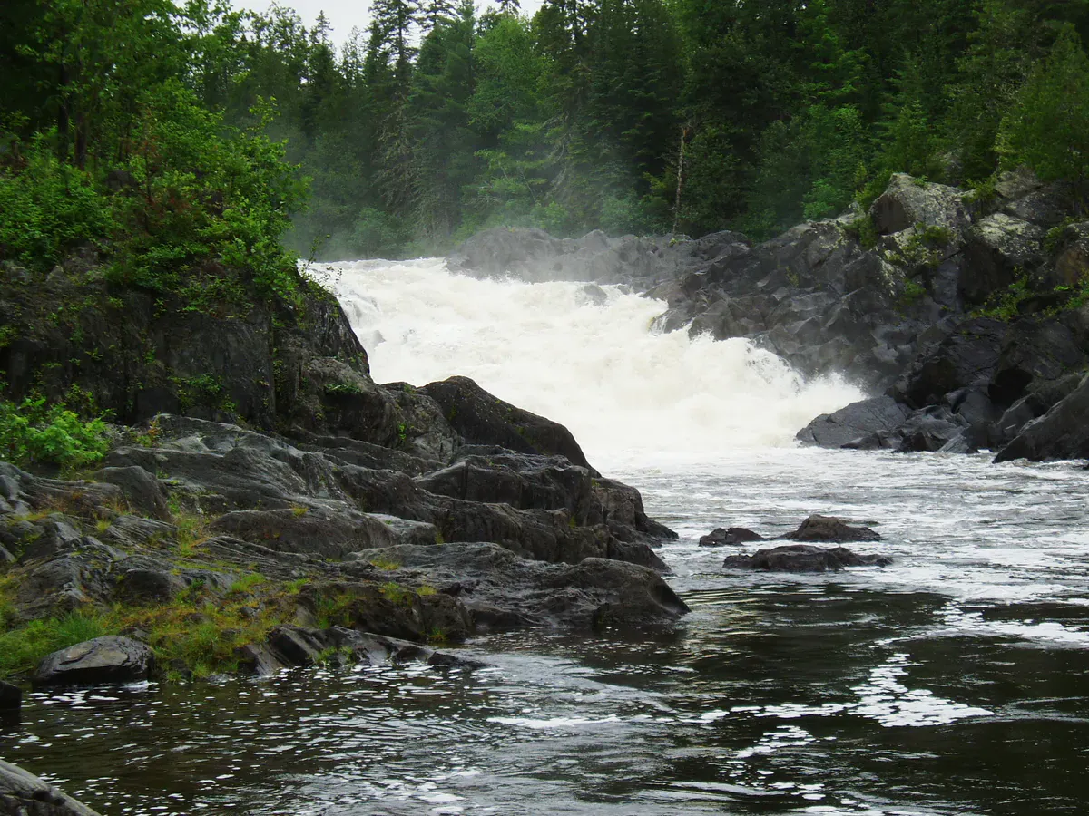
The AT shelter at Nahmakanta Lake Stream is a three-sided lean-to that thru-hikers use during the summer season. It is available to anyone on a first-come, first-served basis, but during peak thru-hiker season (July and August), expect it to be occupied.
Some of the best and most private campsites on Nahmakanta Lake are only reachable by canoe or kayak. If you can bring a boat, paddle the eastern shore to find sites that car campers never reach. The lake is calm most mornings and manageable for intermediate paddlers.
Moose Country
Nahmakanta is one of the most reliable places in Maine to see moose. The boggy shorelines, wetland edges, and pond margins throughout the property are prime moose habitat. Dawn and dusk are the best times. Drive slowly on the access roads and scan the edges of ponds and bogs.
Moose feed in the shallows of Nahmakanta Lake and the smaller ponds in the area, especially in June and July when they wade into the water to eat aquatic plants and escape black flies. A good pair of binoculars lets you watch them from a safe distance. Watching a bull moose standing chest-deep in a remote Maine lake at sunrise is one of those experiences that stays with you.
The small ponds near the access road, particularly Pollywog Pond and Crescent Pond, are often better for moose sightings than the main lake. Moose prefer the shallow, weedy edges of smaller water bodies. Drive the access road slowly at dawn and you will likely see at least one.
Fishing
Nahmakanta Lake holds brook trout and lake trout. The lake trout fishing can be excellent, particularly in spring soon after ice-out when the fish are near the surface. By midsummer, lake trout move deep and you need a boat with downriggers or deep-trolling gear to reach them. Brook trout are found in the inlet and outlet streams as well as several of the smaller ponds in the area.
You need a valid Maine fishing license. The regulations for this area include gear restrictions on some waters, so check the current MDIFW rules before you go.
Getting There
From Millinocket, take the road toward Baxter State Park and then follow logging roads southwest toward Nahmakanta. The drive from Millinocket takes roughly 90 minutes on gravel roads, depending on conditions. From Bangor, expect about 2 hours to Millinocket plus the logging road drive.
The logging roads are active during the week. Loaded trucks have the right of way. Pull over completely when you see one coming. On weekends the roads are quieter. Road conditions vary by season and recent weather. A vehicle with decent clearance is strongly recommended. Low-slung cars will struggle with the washboard and potholes.
Stock up on everything in Millinocket. There are no stores, no gas stations, and no services of any kind between town and the property.
When to Go
Spring
Ice-out on the lake is typically mid-May. Black flies are brutal in June. Roads can be muddy and soft.
Summer
Warm water for swimming, good fishing, peak moose activity. AT thru-hikers pass through July and August.
Fall
Foliage reflected in the lake. No bugs, cool nights, fewer visitors. Some access roads close by late October.
Winter
Access roads are not plowed. The property is effectively inaccessible by vehicle from November through April.
September is the ideal month. The bugs are gone, the moose are still active, the lake water is still swimmable, and the foliage starts turning in the surrounding hills. Weekdays in September you may have the entire lake to yourself.
Packing List
Nahmakanta Packing List
- Tent and full camping gear
- Water filter (lake water must be treated)
- Camp stove and fuel
- 3+ days of food (no resupply possible)
- Bug spray and head net (June and July)
- Maine Atlas or offline maps
- Fishing gear and valid Maine license
- Canoe or kayak if possible
- Headlamp with extra batteries
- First aid kit
- Bear hang rope or bag
FAQ
Do I need a permit to camp at Nahmakanta?
No. Camping is free and first-come, first-served at all primitive sites on the property. No permits or reservations are required.
Can I drive to the campsites?
Some campsites along Nahmakanta Lake are accessible by vehicle on rough logging roads. Others require paddling or hiking. A high-clearance vehicle is recommended for all access roads.
Will I see moose?
Very likely. Nahmakanta is prime moose habitat. Dawn and dusk at pond edges and boggy shorelines are the best times and places. June and July are peak months for moose in the water.
Is there cell service at Nahmakanta?
No. There is zero cell service anywhere on the property or on the access roads. Plan accordingly and leave your itinerary with someone before you go.
How do I get to Nahmakanta?
From Millinocket, follow signs toward Baxter State Park and then take logging roads southwest. The drive is about 90 minutes on gravel. Carry a Maine Atlas or downloaded offline maps, as intersections are unmarked and GPS is unreliable.