The Easternmost Beach in the United States
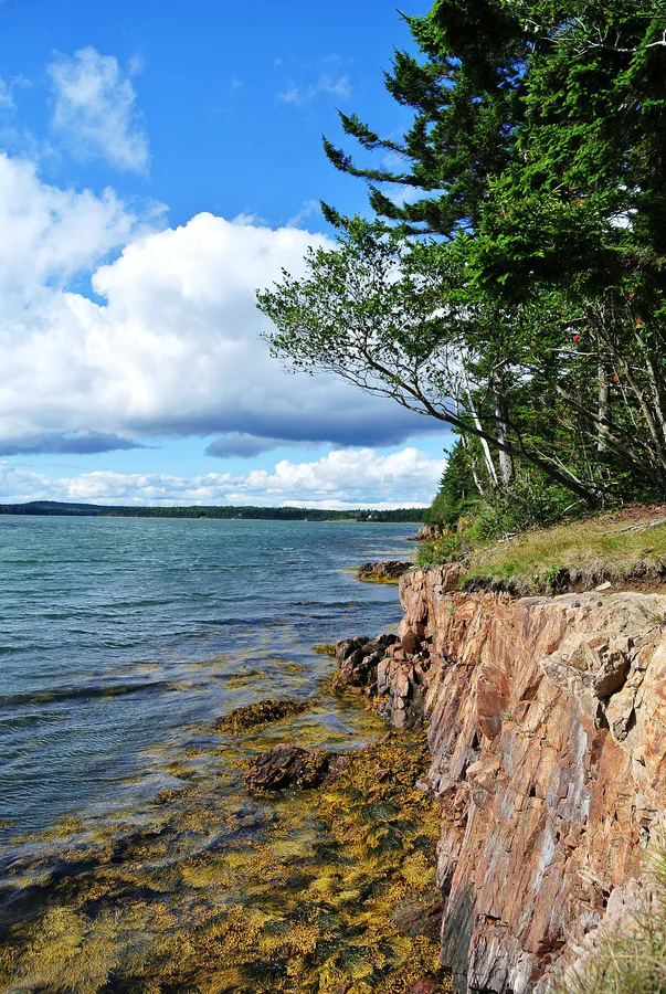
Mowry Beach Preserve sits at the eastern edge of Lubec, Maine, which makes it one of the easternmost points of land in the United States. The 1,800-foot shoreline faces Lubec Channel, with Campobello Island, New Brunswick, clearly visible across the narrow strait. On a calm day, you can see the buildings and shoreline of the Canadian island as if they were just across the street.
The preserve is owned and managed by the Downeast Coastal Conservancy. A 1,700-foot wooden boardwalk, designed to meet ADA guidelines, passes through coastal-scrub woodland, skirts a sphagnum bog and cattail swamp, and delivers you to the beach. The walk is flat, smooth, and short, about a third of a mile. A wheelchair can navigate the entire route.
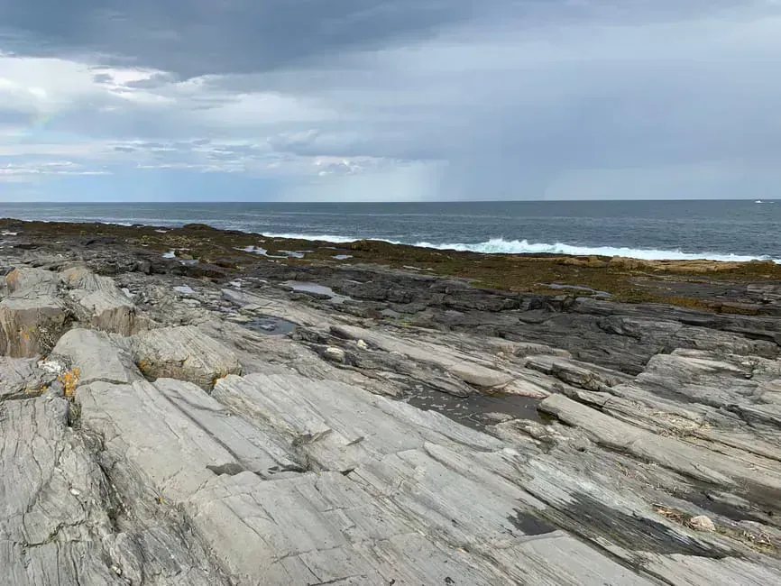
The beach itself is a mix of sand, gravel, and cobble, with a long tidal flat that expands dramatically at low tide. This is not a swimming beach. The currents in Lubec Channel are strong, the water is cold, and the tidal range is among the largest on the East Coast, often exceeding 20 feet. But as a place to walk, explore, and stand at the far eastern edge of the country, Mowry Beach is hard to beat.
The Drowned Forest
The most unusual feature at Mowry Beach appears only at low tide. As the water recedes across the tidal flat, the stumps and root systems of ancient trees emerge from the sand and mud. This is a drowned forest, the remains of trees that grew here thousands of years ago when sea levels were lower. Rising seas gradually inundated the forest, preserving the stumps in the anaerobic mud.
The stumps are dark, weathered, and unmistakable. They stand in clusters across the lower beach, some barely visible, others rising a foot or more above the sand. Walking among them at low tide is an eerie and humbling experience, a physical reminder of how much the coastline has changed.
Check the tide chart before visiting. The drowned forest is only visible at low tide, and the best viewing is during a spring low tide when the water drops to its lowest point. Arrive about an hour before dead low to watch the stumps gradually emerge as the tide falls.
The Boardwalk
The ADA-accessible boardwalk is the primary trail at Mowry Beach Preserve. It begins at the parking area on Pleasant Street and winds through dense coastal scrub, passing interpretive signs about the local ecology. The boardwalk crosses sections of sphagnum bog and cattail marsh before reaching the beach.
The woodland along the boardwalk is characteristic of Downeast Maine: stunted spruce and fir, bayberry, wild rose, and alder. In summer, the cattail marsh buzzes with dragonflies and red-winged blackbirds. The boardwalk is well-maintained and suitable for wheelchairs, strollers, and anyone with mobility challenges.
The sunrise from Mowry Beach is among the earliest in the United States. If you are staying in Lubec, walk down to the beach before dawn. The light comes up over Campobello Island and hits the water first. Lubec is one of the first places in the country to see the morning sun.
Campobello Island Views
Lubec Channel separates Mowry Beach from Campobello Island by less than a mile. The Franklin Delano Roosevelt Memorial Bridge connects Lubec to Campobello, making it easy to combine a visit to the beach with a trip to Roosevelt Campobello International Park on the Canadian side. You will need a passport or passport card to cross.
From the beach, you can see the rocky shoreline and spruce forests of Campobello, a view worth a pair of binoculars for the shorebirds on the flats and the boats in the channel. Boat traffic in the channel includes lobster boats, pleasure craft, and occasionally the Old Sow whirlpool, the largest tidal whirlpool in the Western Hemisphere, which forms between Deer Island and Campobello when the tides are running hard.
Lubec Channel has powerful tidal currents. Do not attempt to swim or wade into the channel. The tidal range here regularly exceeds 20 feet, and the current can reach several knots during tidal exchanges. Stay on the beach and tidal flats.
When to Go
Spring
Cool and breezy. Beach accessible but exposed. Shorebird migration along the tidal flat.
Summer
Warmest and calmest conditions. Best for exploring the tidal flat and drowned forest. Long daylight hours.
Fall
Fewer visitors, crisp air. Fall foliage frames the boardwalk. Dramatic light on the channel.
Winter
Boardwalk accessible year-round. Cold and exposed. Dramatic winter tides reveal more of the drowned forest.
Practical Details
The parking area at the end of Pleasant Street holds about 10 cars. Parking is free. There are no restrooms, picnic tables, or other facilities at the preserve. The nearest services are in Lubec village, a short drive away.
Dogs are welcome at Mowry Beach. No leash requirement, but keep your dog under control.
Cell service is spotty in Lubec. You may get a signal in the village, but coverage at the beach is unreliable.
Mowry Beach Essentials
- Tide chart (drowned forest visible only at low tide)
- Binoculars (Campobello views, shorebirds)
- Camera (the drowned forest is photogenic)
- Windbreaker (exposed to channel winds)
- Layers (Downeast is cooler than southern Maine)
- Water shoes (cobble and tidal flat walking)
- Passport (if crossing to Campobello Island)
Getting There
From Bangor, take Route 1A East to Ellsworth, then Route 1 East through Machias to Whiting, and Route 189 South to Lubec. The drive is about two and a half hours. From Portland, it is roughly five hours via I-95 and Route 1.
In Lubec, head south on Pleasant Street. The parking area and trailhead are at the end of the road. Look for the Downeast Coastal Conservancy sign.
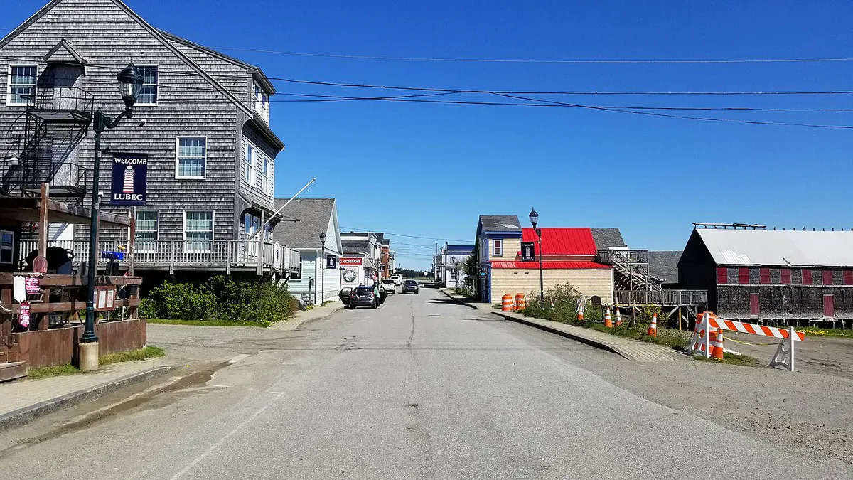
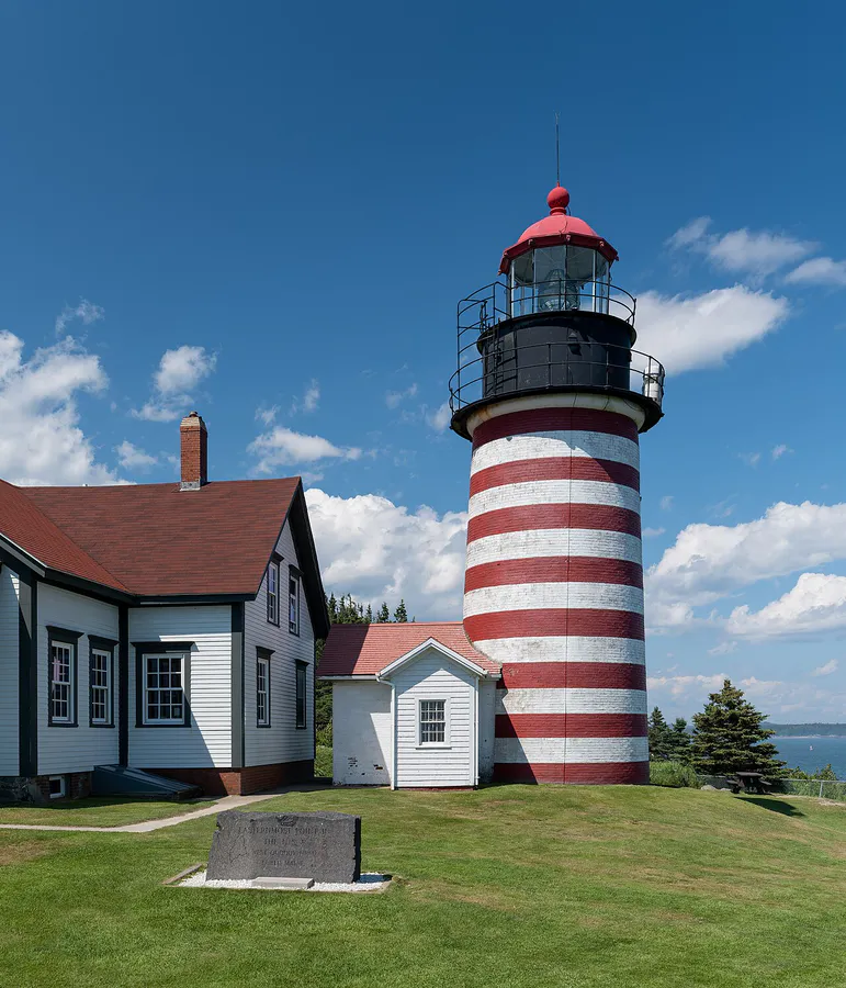
Lubec has a few restaurants, a general store, and gas. Stock up in Machias if you need more options. West Quoddy Head State Park, home to the iconic red-and-white striped lighthouse, is just a few minutes south of Lubec and pairs well with a visit to Mowry Beach.
FAQ
Is Mowry Beach wheelchair accessible?
Yes. The 1,700-foot boardwalk is designed to meet ADA guidelines and is smooth and nearly level. A wheelchair can navigate the entire route from the parking area to the beach.
Can you see the drowned forest at Mowry Beach?
Only at low tide. Ancient tree stumps emerge from the sand and mud as the water recedes. The best viewing is during spring low tides when the water drops to its lowest point.
Can you swim at Mowry Beach?
No. The tidal currents in Lubec Channel are strong and dangerous, and the water is very cold. This is a walking and exploring beach, not a swimming beach.
Is Mowry Beach really the easternmost beach in the US?
Lubec is one of the easternmost towns in the United States. Mowry Beach sits on the eastern shore of Lubec, making it among the easternmost accessible beaches in the country. West Quoddy Head, just south, is the easternmost point of the contiguous US.
Are there restrooms at Mowry Beach?
No. There are no restrooms or facilities at the preserve. The nearest restrooms are in Lubec village.