America’s Great Northern Forest
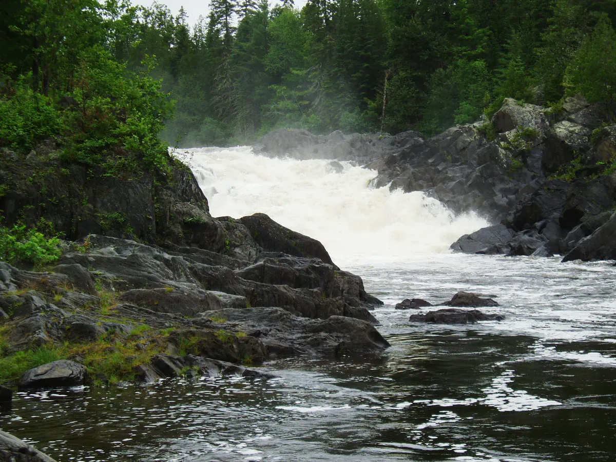
The North Maine Woods is the largest contiguous block of undeveloped forest east of the Mississippi River, covering approximately 3.5 million acres of northern Maine. Most of this land is privately owned by timber companies and managed for commercial forestry, but through a unique arrangement between landowners and the nonprofit North Maine Woods, Inc., the public has access to over 500 primitive campsites scattered across this vast landscape of lakes, rivers, streams, and boreal forest.
This is not a park in the traditional sense. There are no visitor centers, no rangers at every turn, and no marked hiking trails in most areas. What there is: an enormous wilderness with hundreds of ponds and lakes, thousands of miles of rivers and streams, and a road network of logging roads that serve as the only routes in and out. You enter through staffed checkpoints, pay a gate fee and per-person camping fee, and then you are on your own in a landscape that stretches to the Canadian border.
The North Maine Woods system represents something genuinely unusual in American recreation: a vast wilderness open to the public on private land, managed cooperatively between industrial landowners and a nonprofit. It has provided camping, fishing, hunting, and paddling access to Maine residents and visitors for decades, and it remains one of the greatest bargains in outdoor recreation.
The Campsites
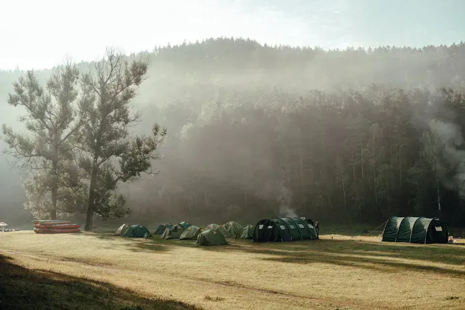
The 500-plus campsites are distributed across the entire North Maine Woods territory, concentrated around lakes, ponds, and river access points. Each site is primitive: a fire ring, a picnic table, and sometimes a privy (outhouse). There is no running water, no electricity, no showers, and no camp stores. Many sites are beautifully positioned on lakeshores, riverbanks, or forest clearings.
Site quality varies widely. Some are well-maintained with level tent pads, solid picnic tables, and clean fire rings. Others are rougher, with minimal clearing and basic fire rings. The best sites tend to be on the larger, more popular lakes that see regular maintenance. Remote sites on smaller ponds may be less maintained but offer greater solitude.
Sites are first-come, first-served with no reservations. On busy summer weekends, popular sites near the checkpoints fill first. The further you drive on the logging roads, the more likely you are to find solitude. With over 500 sites across millions of acres, there is almost always somewhere to camp.
The campsite network is organized into regions, each accessed through specific checkpoints. The major checkpoint areas include:
- Jo-Mary/Katahdin Region: Accessed from Millinocket, covering the Jo-Mary lakes, Nahmakanta Lake, and areas near Baxter State Park
- Telos/Allagash Region: Accessed from Millinocket via the Golden Road, covering Telos, Chamberlain, and the Allagash headwaters
- Greenville Region: Accessed from Greenville, covering Chesuncook Lake, Caucomgomoc Lake, and the western interior
- Aroostook Region: Accessed from Ashland, Portage, or Shin Pond, covering the northern tier near the Canadian border
Stop at the checkpoint and ask the attendant for recommendations. The gate staff know which sites are occupied, which roads are in good condition, and where the fishing has been productive. They are an invaluable resource and can save you hours of driving on roads that lead to full or poorly maintained sites.
Things to Do
Fishing is the number one draw. The North Maine Woods contains some of the best brook trout fishing in the eastern United States. Hundreds of remote ponds hold wild brook trout populations that see minimal fishing pressure. Salmon, lake trout, and smallmouth bass are found in the larger lakes. The streams and rivers hold native brook trout that will take a well-presented dry fly on a summer evening. A Maine fishing license is required.
Paddling opportunities are virtually unlimited. The Allagash Wilderness Waterway begins in this territory. The St. John River, Penobscot River headwaters, Aroostook River, and dozens of other waterways offer everything from flatwater lake paddling to whitewater river trips. Many of the best paddling routes connect through chains of lakes and thoroughfares that can be linked for multi-day trips.
Hunting is popular in fall, with Maine’s deer, moose, bear, and bird seasons drawing hunters to the North Maine Woods. The logging road network provides access to vast tracts of habitat that are difficult to reach any other way.
Wildlife watching is constant. Moose are everywhere, particularly at dawn and dusk along the road edges and in boggy areas. Black bears, deer, loons, bald eagles, and osprey are common. The boreal forest supports species like spruce grouse, boreal chickadee, and gray jay that are difficult to find further south.
The North Maine Woods has no services once you pass the checkpoint. No gas stations, no stores, no medical facilities, no cell service. You are on your own. Carry adequate fuel, food, water treatment, tools, a spare tire, and first aid supplies. Tell someone your itinerary and expected return date. If you break down or get injured, help may be hours away.
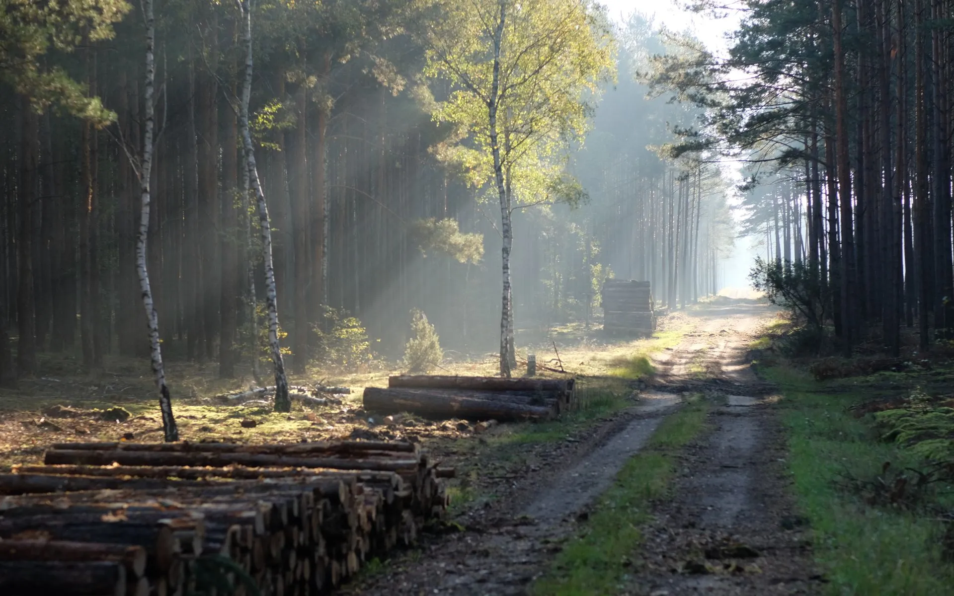
Logging Road Driving
The road network is the spine of the North Maine Woods experience. These are working timber roads shared with logging trucks, gravel-surfaced (sometimes barely), and maintained primarily for commercial use. Speed limits are typically 20-30 mph, and logging trucks always have the right of way.
Key driving rules:
- Drive with headlights on at all times
- Yield to logging trucks on curves and narrow sections
- Pull over completely to let trucks pass
- Carry a full-size spare tire, not a donut
- Watch for soft shoulders, washouts, and potholes
- Fill your tank before entering; there is no gas inside
- A CB radio on channel 19 allows you to hear truck traffic
The roads are generally passable in a regular car, but a vehicle with higher clearance (SUV or truck) is more comfortable and handles the rough sections better. Some spur roads to remote sites may require four-wheel drive.
When to Go
Spring
Gates open mid-May. Roads may be soft from spring thaw and mud season. Fishing is at its best. Blackflies are at their worst.
Summer
Roads are dry, weather is warmest, most daylight for exploring. July and August are peak season. Bugs diminish by late July.
Fall
Foliage, hunting season, excellent fishing. Cool weather, no bugs. Roads are in good condition. Some gates close in November.
Winter
Some roads maintained for logging. Snowmobile access. Ice fishing on frozen lakes. Very cold, very remote, only for experienced winter campers.
Getting There
Access to the North Maine Woods is through staffed checkpoints operated by North Maine Woods, Inc. The major entry points are:
- Telos Checkpoint: Via the Golden Road from Millinocket
- Jo-Mary Checkpoint: Via Route 11 south of Millinocket
- Sias Hill Checkpoint: Via Greenville
- Six Mile Checkpoint: Via Ashland
- American Realty Road: Via Portage or Ashland
At each checkpoint, you register, pay the gate fee (typically $8-10 per vehicle per day for non-residents) and camping fee ($12-18 per person per night). The attendant provides a map of the road system and campsite locations. Most checkpoints are staffed from May through November.
From Portland, the nearest checkpoints are about four to four and a half hours. From Bangor, about two hours.
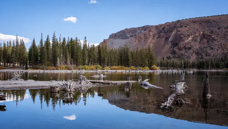
The small remote ponds are where the real magic of the North Maine Woods lives. Skip the big, well-known lakes and ask the checkpoint attendant about a small pond with a campsite that requires a 20-minute walk from the road. You will find a wilderness lake where you are the only person, the brook trout are willing, and the loons are your only company. These ponds are what makes the North Maine Woods irreplaceable.
Camping Packing List
- Tent with full rain fly and ground cloth
- Sleeping bag rated to 25F (nights are cold in northern Maine)
- Camp stove and fuel for all meals
- Water filter or purification system
- Cooler with block ice (needs to last days)
- Fishing gear, tackle, and Maine fishing license
- Canoe or kayak (for lake and pond access)
- Full-size spare tire, jack, and basic tools
- Paper road map of North Maine Woods (no cell GPS)
- Bug spray, head nets, and long sleeves (June is brutal)
- Bear hang rope or canister for food storage
- Extra fuel if your vehicle has a small tank
FAQ
What does it cost to camp in the North Maine Woods?
Gate fees are approximately $8-10 per vehicle per day for non-residents. Camping fees are $12/person/night for Maine residents and $18/person/night for non-residents. These fees fund road maintenance and campsite upkeep.
Do I need a reservation?
No. All sites are first-come, first-served. With over 500 sites, there is almost always somewhere to camp, though specific popular sites may fill on summer weekends.
Are the roads safe for a regular car?
Main logging roads are generally passable in a regular car. Spur roads to remote sites may be rough. A vehicle with higher clearance is recommended. Carry a full-size spare and basic tools.
Can I drink the water from the lakes and streams?
You should filter or treat all water. While many of these waters are very clean, giardia and other contaminants are possible. Bring a reliable water filter or purification system.
When are the checkpoints open?
Most checkpoints are staffed from mid-May through November, with some variation by location. Check the North Maine Woods website (northmainewoods.org) for current gate hours and seasonal closures.