Camping in the 100-Mile Wilderness
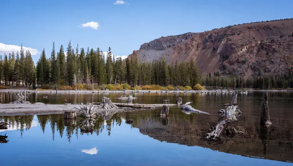
Nahmakanta Lake is one of the most pristine bodies of water in Maine, and the campsites around it put you deep in the 100-Mile Wilderness, the longest stretch of the Appalachian Trail without a road crossing. The Nahmakanta Unit, managed by the Maine Bureau of Parks and Lands, encompasses roughly 43,000 acres of forest, ponds, and streams. About 10 primitive campsites are scattered along the lake’s shore, accessible by rough logging roads and by paddling.
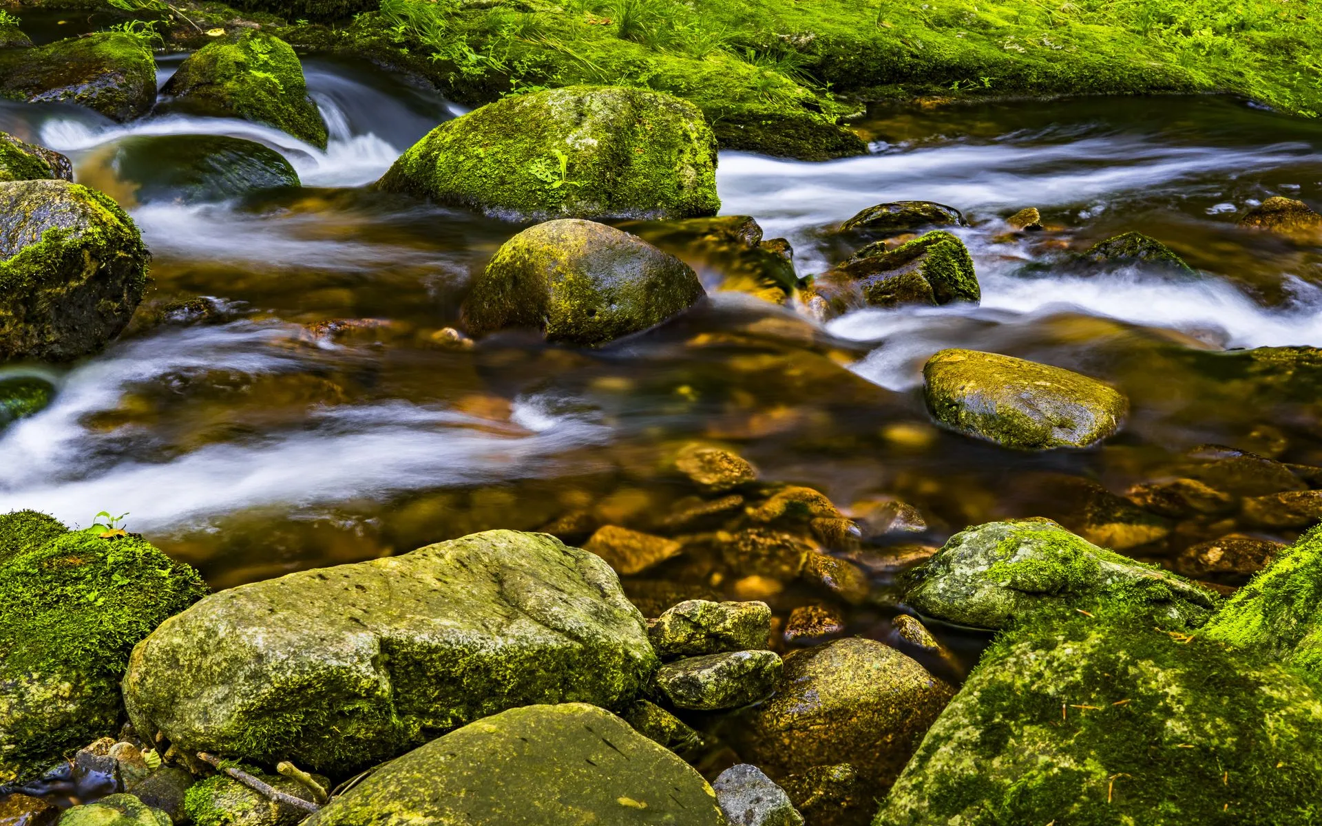
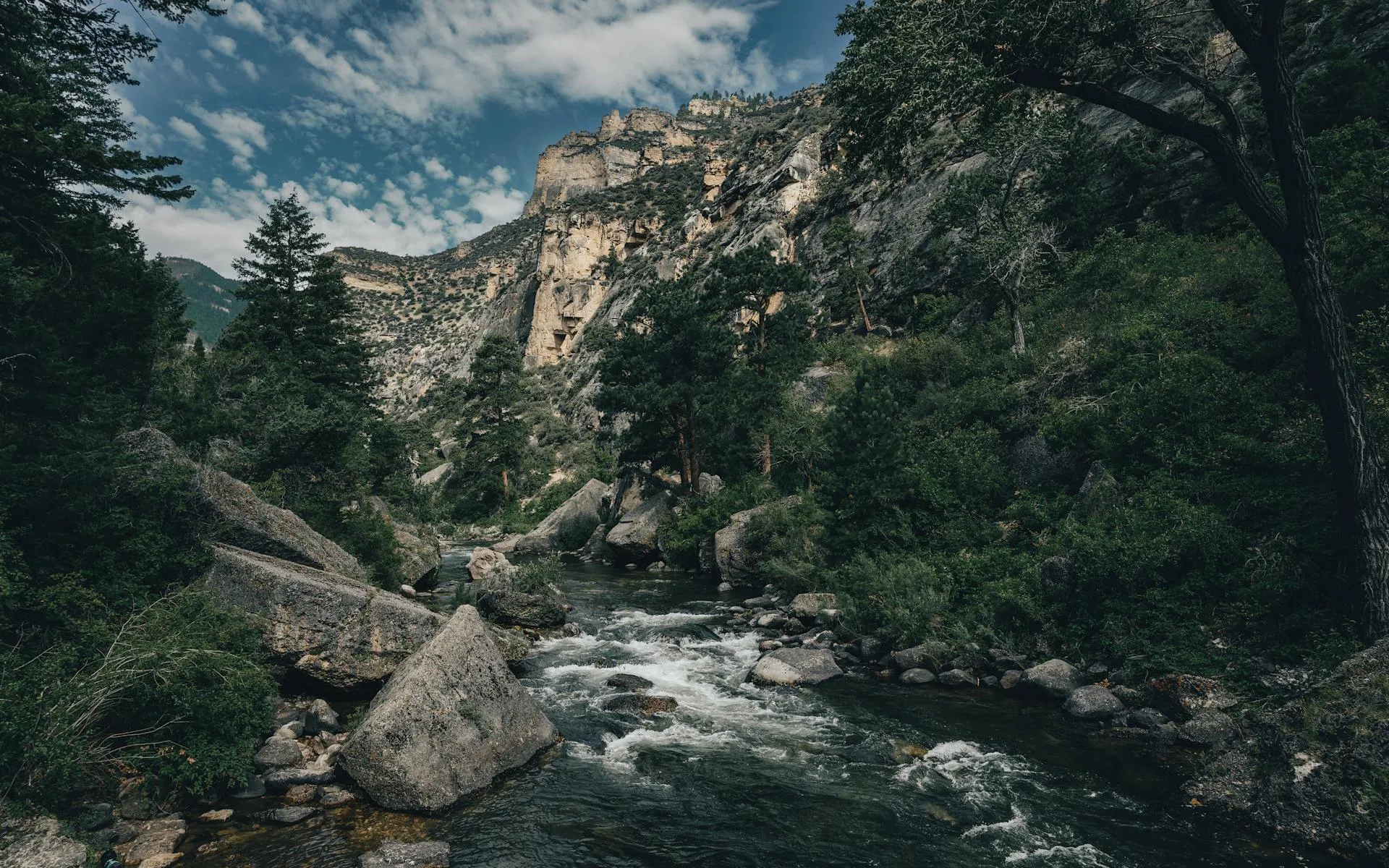
The lake itself is long and narrow, stretching about four miles through a valley of dense spruce-fir forest. The water is clean and cold, fed by springs and streams that drain the surrounding hills. The Appalachian Trail follows the western shore of Nahmakanta Lake, and northbound thru-hikers pass through here in the final days before Katahdin. For trail hikers, it is one of the most beautiful and isolated stretches on the entire 2,190-mile route.
For camping, Nahmakanta offers something increasingly rare: genuine wilderness solitude with minimal infrastructure. There are no bathhouses, no camp stores, no electric hookups, and no reliable way to call for help. You come here because you want to be truly away from everything, and the lake delivers on that promise completely.
The Campsites
The approximately 10 campsites are spread along the shore of Nahmakanta Lake, most accessible by a combination of logging roads and short walks or paddles. Sites are primitive: a fire ring, perhaps a rough clearing for a tent, and little else. Some sites have a rough privy nearby. All water must be filtered or treated. Trash is packed out entirely.
The sites vary in quality and setting. Some sit on the sandy beaches that line parts of the lake’s south end, with gentle entry into the water and open sky. Others are perched on wooded points with more shelter and privacy. The AT shelters and tent sites along the trail’s route near the lake serve primarily thru-hikers but are available to anyone.
Access requires driving on private logging roads managed by the North Maine Woods organization. A checkpoint and per-person/per-night fee applies for entry to the road system. From there, the campground roads range from decent gravel to rough two-track that challenges low-clearance vehicles.
The sandy beach at the southern end of Nahmakanta Lake is one of the best backcountry swimming spots in Maine. On a warm July day, the combination of clean water, sandy bottom, and mountain views makes it feel like a hidden paradise. Arrive by mid-morning to have the beach to yourself.
Things to Do
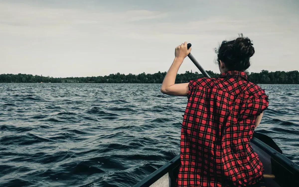
Paddling the full length of Nahmakanta Lake is a full-day excursion that rewards with pristine scenery at every turn. The lake is narrow enough that you can explore both shores, pausing at sandy beaches and rocky points. Morning paddling before the wind picks up gives the calmest conditions and the best chance of seeing moose along the shoreline.
The Appalachian Trail runs along the western shore, offering both short day hikes and connections to the broader trail network. Hiking south from the lake leads toward the Barren-Chairback Range, a challenging section of the 100-Mile Wilderness with exposed ridgeline and remote ponds. Hiking north leads toward Katahdin, though that is a multi-day commitment.
Fishing is excellent. Nahmakanta Lake holds brook trout and landlocked salmon, with the best fishing in spring and early summer. The tributary streams entering the lake are productive for brook trout fishing with flies or spinners. The lake is remote enough that fishing pressure is low, which helps keep the fish populations healthy.
Wildlife is abundant. Moose frequent the boggy areas at the lake’s inlets. Loons nest on the lake and fill the evenings with their calls. Bald eagles hunt along the shoreline. The forest around the lake supports black bear, deer, and a variety of smaller mammals and birds.
Nahmakanta Lake is remote. There is no cell service, no nearby medical facilities, and evacuation would be slow and difficult. Come prepared with first aid supplies, a plan for emergencies, enough food and water treatment for your stay, and the skills to be self-sufficient in the backcountry. Tell someone your itinerary and expected return date before you go.
When to Go
Spring
Ice-out in mid-May. Roads may be muddy and gated. Blackflies are brutal in June but fishing is excellent.
Summer
July and August offer the warmest swimming, best weather, and most reliable road access. AT thru-hikers pass through regularly.
Fall
September foliage is beautiful. Cool nights, no bugs, good fishing. Road access may become limited in October.
Winter
Logging roads are not maintained. Winter access would require snowmobile or ski and is only for experienced winter campers.
Getting There
From Millinocket, head west on the Golden Road or Jo-Mary Road. Access to the Nahmakanta Unit requires passing through a North Maine Woods checkpoint, where you pay a per-person daily fee (typically $10-12 for non-residents). From the checkpoint, follow logging roads to the lake. The roads are gravel and some sections are rough. A vehicle with good clearance is recommended. The drive from Millinocket takes about an hour and a half depending on road conditions.
From Bangor, drive to Millinocket via I-95 and Route 11/157 (about 80 minutes), then continue as above. From Portland, the total drive is about four and a half hours.
If you have two vehicles or can arrange a shuttle, drop a car at the Abol Bridge trailhead on the AT north of Nahmakanta, then drive to the lake and hike out the next day on the AT. This gives you a night of lakeside camping followed by a day hike through some of the most beautiful trail in the 100-Mile Wilderness, ending at the Abol Bridge camp store where you can celebrate with a cold drink.
Camping Packing List
- Tent with full rain fly (rain is frequent and heavy)
- Sleeping bag rated to 30F (cold nights at elevation in the woods)
- Camp stove and fuel for all meals
- Water filter or purification (no safe water sources otherwise)
- Bear bag or canister for food storage
- Kayak or canoe for lake access
- Fishing gear and Maine fishing license
- Bug spray and head net (essential May through July)
- Paper map of the Nahmakanta Unit (no cell service for navigation)
- First aid kit including blister care and emergency supplies
FAQ
How do I access Nahmakanta Lake?
Via private logging roads managed by North Maine Woods. You pay a fee at a checkpoint. The roads are gravel and sometimes rough. A high-clearance vehicle is recommended.
Is there a fee?
North Maine Woods charges a per-person per-night fee, typically around $10-12 for non-residents. This covers road access and camping.
Can I bring a motorboat?
Check current regulations with the Bureau of Parks and Lands. The lake has historically had restrictions on motorboat use to protect the wilderness character.
Will I see AT thru-hikers?
In July, August, and September, northbound AT thru-hikers pass through regularly on their way to Katahdin. You may share the lake with a handful of tired, happy hikers.
Is the road passable in a regular car?
Some sections are manageable in a sedan, but a vehicle with higher clearance is recommended. Conditions vary with weather and maintenance. Call the North Maine Woods office for current road conditions.